The best cycling routes around Washougal
4.7
(48)
153
riders
9
rides
Touring cycling around Washougal offers diverse routes through a landscape characterized by the Columbia River Gorge and the foothills of the Cascade Mountains. The region features a mix of paved multi-use paths, scenic road rides, and routes along the Washougal River. Cyclists can expect varied terrain, including climbs and descents, with many paths providing views of the Columbia River and surrounding natural features.
Best touring cycling routes around Washougal
- The most popular touring cycling route is Crown Point Loop,…
Last updated: July 11, 2026
2
riders
49.0km
02:37
740m
740m
Hard bike ride. Very good fitness required. Mostly paved surfaces. Suitable for all skill levels.
14
riders
Easy bike ride. Great for any fitness level. Mostly paved surfaces. Suitable for all skill levels.

Sign up for free
3.8
(4)
12
riders
28.3km
02:07
210m
210m
Moderate bike ride. Good fitness required. Mostly paved surfaces. Suitable for all skill levels.
5.0
(1)
9
riders
Hard bike ride. Very good fitness required. Mostly paved surfaces. Suitable for all skill levels.
5.0
(1)
6
riders
Easy bike ride. Great for any fitness level. Mostly paved surfaces. Suitable for all skill levels.
Get access to more routes and recommendations from other explorers.
Sign up for free
Already have an account?
Our route recommendations are based on thousands of hikes, rides, and runs completed by other people on komoot.
Start today with a free account
Your next adventure awaits.
Login or Signup
Popular around Washougal
Tips from the Community

The river is visible through the trees as you ride down the historic highway. The Sandy River begins at Reid Glacier on Mount Hood, and travels 56 miles to reach its confluence with the Columbia.
0
0
Marine Drive follows the bank of the Columbia River for many miles along Portland's north shore. The views are phenomenal and there is typically decent shoulder and enough space for cars to pass. A paved multi-use path parallels the road for most of its length, but here they merge into one for about two thirds of a mile.
0
0

Running along the river the Marine Drive Trail has incredible views across the water towards Mt. Hood. If you happen to be heading east around sunset you'll be in for a treat.
0
0
This wide, well-maintained, crushed gravel path takes you 3.5 miles (one way) along the lakeside. The shoreline is a great place to see wildlife, and you might spot kayakers out on Lacamas Lake.
0
1

Lacamas Heritage Trail is a 7-mile (roundtrip) out-and-back trail with a 700-foot elevation gain, reaching a highest point of 250 feet. This well-used, mostly gravel trail is popular with trail runners and gravel bikers. It offers plentiful views of Lacamas Lake and nearby lakeshore homes. Mile markers help visitors track their progress, and there are toilets at both ends of the trail, with a playground in the middle. No parking pass or entry fee is required.
0
0

At Lacamas Lake, you can breathe in pine-scented air as you follow peaceful Heritage Trails. Surrounded by mature trees, this scenic lake is the perfect spot for kayaking and admiring nature. The park's well-maintained landscape features beautiful ferns, water lilies, and wildflowers.
0
0
Camas Heritage Park is on the south-east end of the popular Heritage Park trailhead, a 6.9-mile heavily trafficked out-and-back trail along Lacamas Lake. The trail is accessible year-round and welcomes dogs on leashes. The other trailhead is located on NE Goodwin Road in Camas. If you plan to swim, check for algae bloom updates here: https://www.cityofcamas.us/parksrec/page/heritage-park
0
0
The Sandy River Bridge, also known as the Troutdale Bridge of the East Historic Columbia River Highway Bridge, provides bikers with a separate lane away from dangerous traffic, offering a scenic view of the Sandy River. Construction began in 1912 as part of the Columbia River Highway project. Before the bridge, locals used Stark Street or a small ferry, which at one point had a mishap in 1912, when a large auto miscalculated its approach into the ferry and drove into the Sandy River.
1
0
Frequently Asked Questions
How many touring cycling routes are available in Washougal?
Washougal offers a good selection of touring cycling routes, with 10 routes currently listed on komoot. These routes cater to various skill levels, from easy rides to more challenging adventures.
What kind of terrain can I expect on touring cycling routes in Washougal?
The terrain around Washougal is quite varied, featuring a mix of paved multi-use paths, scenic road rides, and routes along the Washougal River. You can expect both climbs and descents, especially on routes that traverse the foothills of the Cascade Mountains or offer views of the Columbia River Gorge. For instance, the Crown Point Loop has significant elevation gain, while routes like the Bike loop from Troutdale are relatively flat.
Are there any easy touring cycling routes suitable for beginners or families?
Yes, Washougal has several easy touring cycling routes. The Bike loop from Troutdale is an easy 18.3-mile (29.5 km) trail that leads through riverine landscapes with minimal elevation change. Another moderate option suitable for many is the Camas Heritage Park – Round Lake loop from Union High School, which offers a scenic ride around Round Lake with gentle elevation changes.
Which routes offer the best views of the Columbia River Gorge?
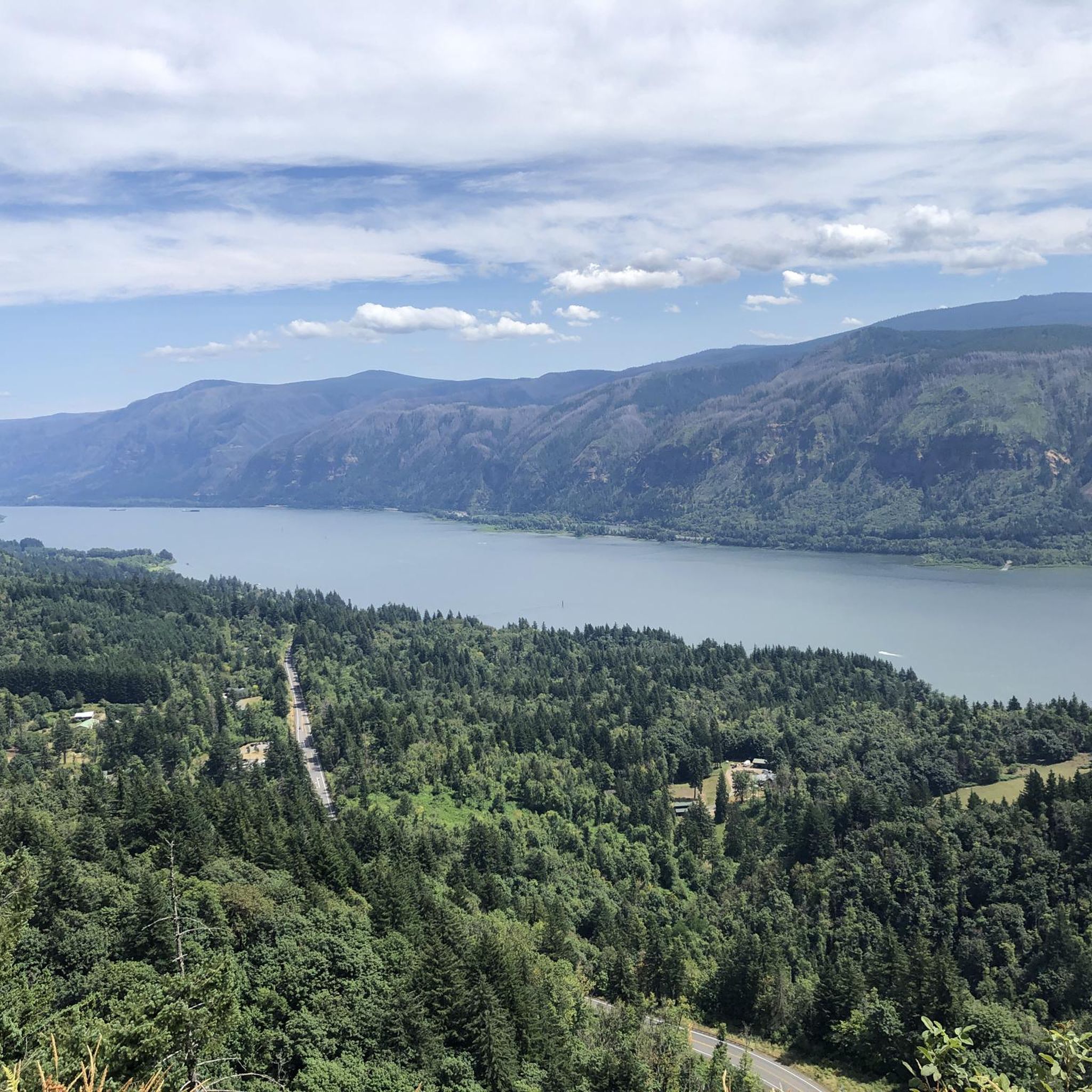
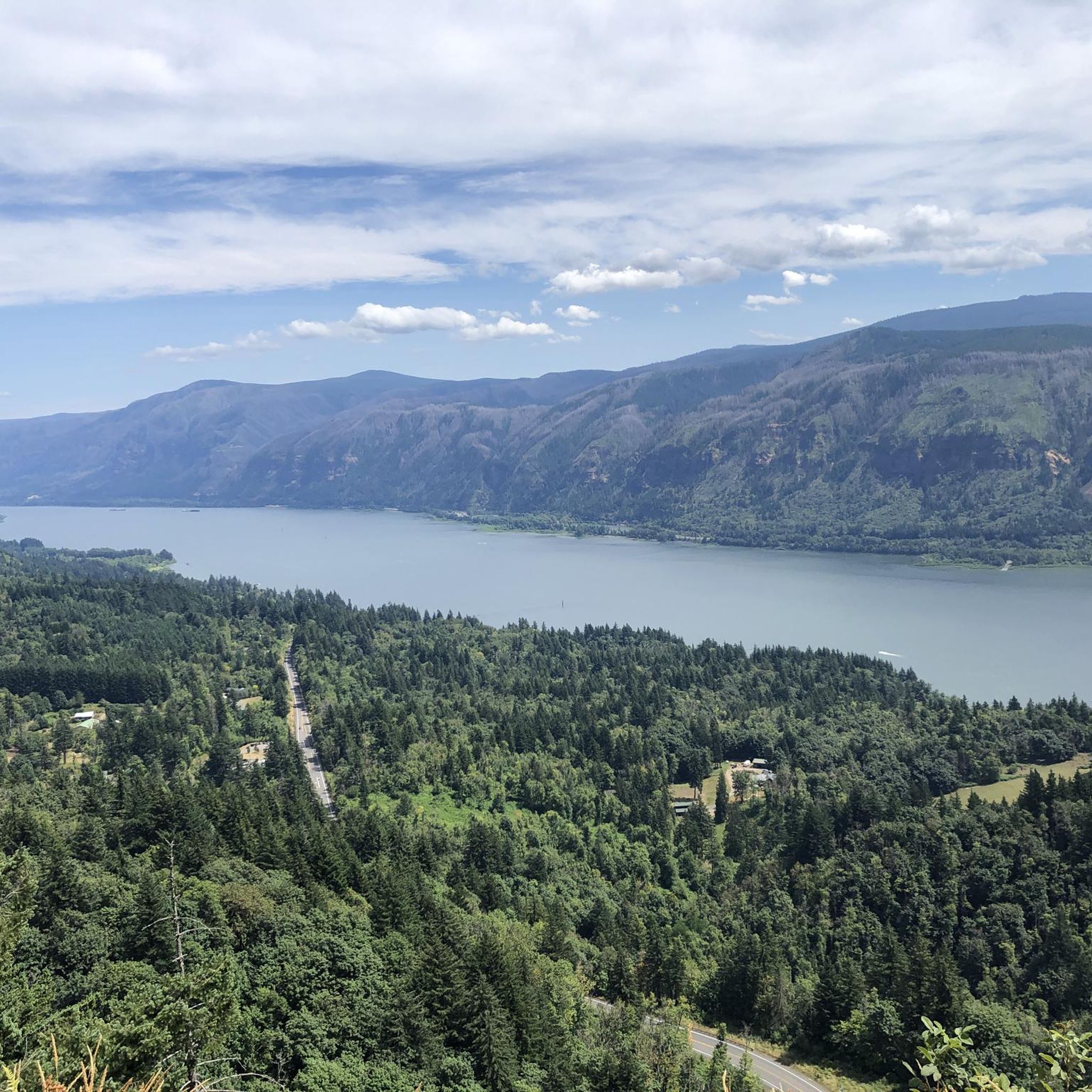
Many routes near the Columbia River provide phenomenal views of the Gorge. The Crown Point Loop is particularly noted for its views of the Columbia River Gorge. The Marine Drive, often incorporated into routes, also follows the bank of the Columbia River, offering picturesque vistas. The Lewis and Clark Discovery Trail/Greenway Trail also provides views of the Columbia River and Mount Hood.
Are there any touring cycling routes that pass by waterfalls?
Yes, the region around Washougal is known for its waterfalls. The "Washougal Loop" mentioned in regional research includes a stop at a waterfall. Specifically, you can find Guy W. Talbot State Park, Latourell Falls, and Shepperd's Dell Falls in the nearby attractions, which may be accessible or visible from various cycling routes.
Can I find circular touring cycling routes in Washougal?
Yes, several touring cycling routes in Washougal are designed as loops. Examples include the Crown Point Loop, the Camas Heritage Park – Round Lake loop from Union High School, and the Round Lake – Heritage Trail at Lacamas Lake loop from Stanford Cleaners. These circular routes allow you to start and end at the same point without retracing your path.
What are some notable natural attractions or landmarks I can see along the routes?
Washougal's touring cycling routes often pass by or offer views of significant natural attractions. You might encounter Crown Point, offering panoramic views of the Columbia River Gorge. Other highlights include Round Lakes Upper Dam, Lake to Lake Trail, Lacamas Regional Park, and the Marine Drive Trail. The region is also home to the Steigerwald Lake National Wildlife Refuge, popular for birdwatching.
Is public transport available to access touring cycling routes in Washougal?
While specific public transport connections directly to trailheads are not detailed, Washougal is part of the larger Vancouver, WA metropolitan area. For detailed public transport options to reach Washougal and its cycling routes, it's best to consult local transit authority websites.
Where can I park my car when starting a touring cycling route?
Many cycling routes in Washougal originate near parks or public access points that typically offer parking. For example, routes around Lacamas Lake or those starting from areas like Union High School (as seen in the Camas Heritage Park – Round Lake loop) often have designated parking facilities. It's advisable to check the specific route details on komoot for recommended starting points and parking information.
What is the best time of year for touring cycling in Washougal?
The best time for touring cycling in Washougal is generally during the spring, summer, and fall months. These seasons offer pleasant temperatures and less precipitation, making for ideal riding conditions. Spring brings wildflowers, while fall showcases vibrant foliage. While winter riding is possible, be prepared for cooler temperatures and increased rainfall.
What do other cyclists enjoy most about touring cycling in Washougal?
The touring cycling routes in Washougal are highly rated by the komoot community, with an average score of 4.75 stars from over 11 reviews. Cyclists frequently praise the diverse landscapes, including river valleys and lake loops, and the stunning views of the Columbia River Gorge. The variety of routes catering to different ability levels is also a popular aspect.
Are there any challenging routes for experienced touring cyclists?
Yes, Washougal offers challenging routes for experienced touring cyclists. The Crown Point Loop is classified as 'difficult' and features significant elevation gain over its 30.4 miles (49.0 km). Another difficult option is the Crown Point – Sandy River Bridge loop from Troutdale, which includes substantial climbing.
Can I cycle through the Steigerwald Lake National Wildlife Refuge?
The Steigerwald Lake National Wildlife Refuge is a haven for birdwatching and wildlife observation with miles of trails. While it's a popular area for outdoor activities, specific touring cycling routes directly through the refuge are not explicitly listed in the guide data. However, routes in the vicinity, such as those along the Columbia River, may offer views or access points to the refuge's trails.
Most popular routes around Washougal
Most popular attractions around Washougal

Get inspired with the komoot mobile app


Explore more
Browse the best Cycling routes in other regions.
