The best road cycling routes around Floh-Seligenthal
4.6
(251)
4,017
riders
212
rides
Road cycling around Floh-Seligenthal features routes through the Thuringian Forest, characterized by forested hills, river valleys, and historic viaducts. The region offers varied terrain, from gentle gradients along valley floors to more challenging climbs into the uplands. Road cyclists can expect a mix of scenic routes that traverse both natural landscapes and charming local areas.
Best road cycling routes around Floh-Seligenthal
- The most popular road cycling route is Breitunger Lakes – Immelborn pond loop from Floh-Seligenthal, a 30.1 miles…
Last updated: July 23, 2026
5.0
(13)
76
riders
36.8km
01:47
350m
350m
Moderate road ride. Good fitness required. Some segments of this route may be unpaved and difficult to ride.
4.9
(15)
74
riders
48.3km
02:02
230m
230m
Moderate road ride. Good fitness required. Mostly well-paved surfaces and easy to ride.

Sign up for free
5.0
(2)
55
riders
38.0km
02:09
830m
830m
Moderate road ride. Good fitness required. Mostly well-paved surfaces and easy to ride.
4.3
(3)
44
riders
57.8km
02:48
800m
800m
Moderate road ride. Good fitness required. Mostly well-paved surfaces and easy to ride.
5.0
(2)
44
riders
Hard road ride. Very good fitness required. Some segments of this route may be unpaved and difficult to ride.
Get access to more routes and recommendations from other explorers.
Sign up for free
Already have an account?
Our route recommendations are based on thousands of hikes, rides, and runs completed by other people on komoot.
Start today with a free account
Your next adventure awaits.
Login or Signup
Popular around Floh-Seligenthal
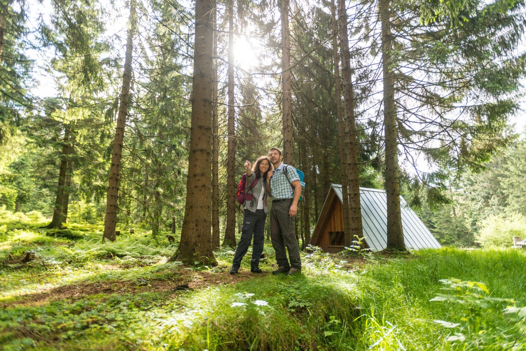
The Rennsteig — Thuringia's most beautiful hiking route

Long distance hiking trails in the Thuringian Forest
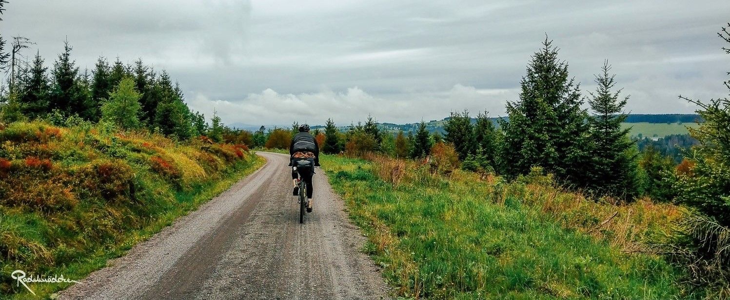
Ride the Rennsteig Cycle Path on your gravel bike – Thuringian Highlands

The most popular swimming spots in Thuringia
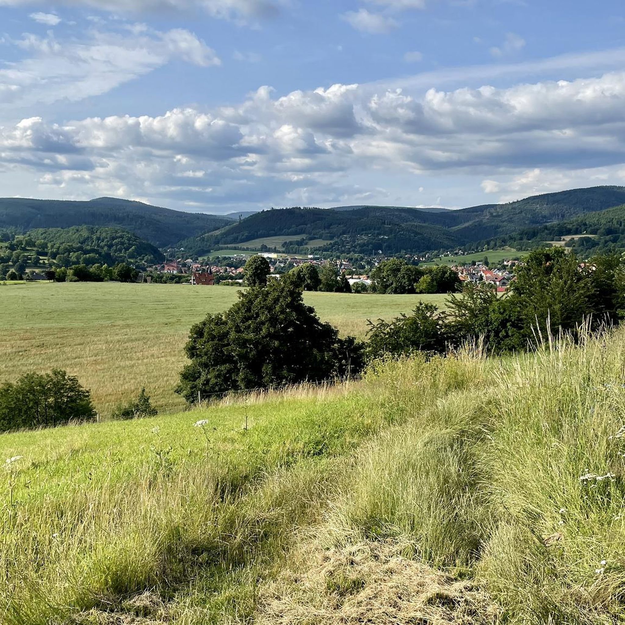
Hiking around Floh-Seligenthal
Cycling around Floh-Seligenthal
Running Trails around Floh-Seligenthal
MTB Trails around Floh-Seligenthal

Gravel biking around Floh-Seligenthal

Mountain Hikes around Floh-Seligenthal
Other adventures around Floh-Seligenthal


Tips from the Community

A beautiful park in Friedrichroda, with many opportunities for recreation.
5
0

Currently, there is a good view from up here of the old railway viaduct over the Schmalkalde and the tunnel portal.
0
0

Yes, unfortunately, the beer garden was no longer open in 2024. A gem along the bike path that is sorely missed.
0
0

The beer garden seems to have been closed for a while. Too bad, I had to leave without stopping.
0
0

Great route, varied, beautiful views
1
0

The spa park is located in the picturesque town of Friedrichroda and is known for its diverse planting, including special tree species and numerous rhododendron bushes, which form a charming contrast to the natural tree population of the Thuringian Forest.
12
0
Here you travel on the former railway line.
16
0

A worthwhile photo opportunity. After the climb and the hairpin bend, the view of the tunnel and viaduct opens up.
1
0
Frequently Asked Questions
What are the general characteristics of road cycling routes around Floh-Seligenthal?
Road cycling in Floh-Seligenthal is defined by its diverse landscape within the Thuringian Forest. You'll encounter forested hills, picturesque river valleys, and historic viaducts. The terrain varies from gentle gradients along valley floors to more challenging climbs into the uplands, offering a mix of natural beauty and charming local areas.
How many road cycling routes are available in Floh-Seligenthal?
There are over 200 road cycling routes available around Floh-Seligenthal on komoot. This includes a wide range of options, with 37 easy routes, 113 moderate routes, and 65 difficult routes, catering to various skill levels.
Are there easy road cycling routes suitable for beginners in Floh-Seligenthal?
Yes, Floh-Seligenthal offers several easy road cycling routes perfect for beginners. One popular option is the Breitunger Lakes – Immelborn pond loop from Floh-Seligenthal, which is 30.1 miles (48.4 km) long and features scenic views of lakes and ponds with minimal elevation gain.
What kind of distances can I expect on road cycling routes in this region?
The road cycling routes around Floh-Seligenthal vary significantly in distance. You can find routes ranging from approximately 23 miles (37 km) to over 40 miles (66 km). For example, the Seligenthal Viaduct – Hundsrück Tunnel loop from Brotterode-Trusetal is 23.1 miles (37.3 km), while the View of Hoher Stein – Ski lift at Bikepark Oberhof loop from Schmalkalden-Fachhochschule extends to 41.2 miles (66.3 km).
Are there any circular road cycling routes in Floh-Seligenthal?
Yes, many road cycling routes in Floh-Seligenthal are designed as loops, allowing you to start and end at the same point. Examples include the Breitunger Lakes – Immelborn pond loop from Floh-Seligenthal and the Mommelstein Cycle Path – Ernstroda Bridge loop from Floh-Seligenthal.
What are some notable landmarks or attractions I might see along the road cycling routes?
The region offers a mix of natural and man-made attractions. You might encounter impressive structures like the Seligenthal Viaduct and Hundsrück Tunnel. For natural sights, some routes offer views of Großer Inselsberg. Additionally, the area is known for its caves, such as Marienglashöhle Friedrichroda, and beautiful waterfalls like Trusetal Waterfall.
Are there routes with good viewpoints for scenic breaks?
Absolutely. Many routes traverse the forested hills of the Thuringian Forest, offering opportunities for scenic views. For instance, the View of Großer Inselsberg – Friedrichroda Spa Park loop from Hohleborn provides excellent vistas of Großer Inselsberg. You can also find specific viewpoints like the Platform at Trusetal Waterfall Below Teufelskanzel.
What do other road cyclists enjoy most about road cycling in Floh-Seligenthal?
The area is highly rated by the komoot community, with an average score of 4.7 stars from over 240 reviews. Reviewers often praise the varied terrain, which includes both natural landscapes and charming local areas, as well as the well-maintained paths and the scenic beauty of the Thuringian Forest.
What are common starting points for road cycling routes in the Floh-Seligenthal area?
Common starting points for road cycling routes in the region include Floh-Seligenthal itself, Brotterode-Trusetal, Hohleborn, and Schmalkalden-Fachhochschule. Specific parking information and detailed starting directions are usually available on each individual route page on komoot.
When is the best time of year for road cycling in Floh-Seligenthal?
The best time for road cycling in Floh-Seligenthal is generally from spring through autumn. During these seasons, the weather is typically mild, and the natural scenery of the Thuringian Forest is at its most vibrant. Summer offers longer daylight hours, while spring and autumn provide cooler temperatures and beautiful foliage.
Are there any challenging road cycling routes for experienced riders?
Yes, for experienced riders seeking a challenge, Floh-Seligenthal offers 65 difficult routes. These routes often feature significant elevation gains and longer distances, taking you through the more demanding parts of the Thuringian Forest's uplands. You can find detailed elevation profiles on komoot for each route to assess its difficulty.
Most popular routes around Floh-Seligenthal
Most popular attractions around Floh-Seligenthal

Get inspired with the komoot mobile app


Explore more
Browse the best Road cycling routes in other regions.
