The best road cycling routes in Otay Mountain Wilderness
5.0
(22)
264
riders
21
rides
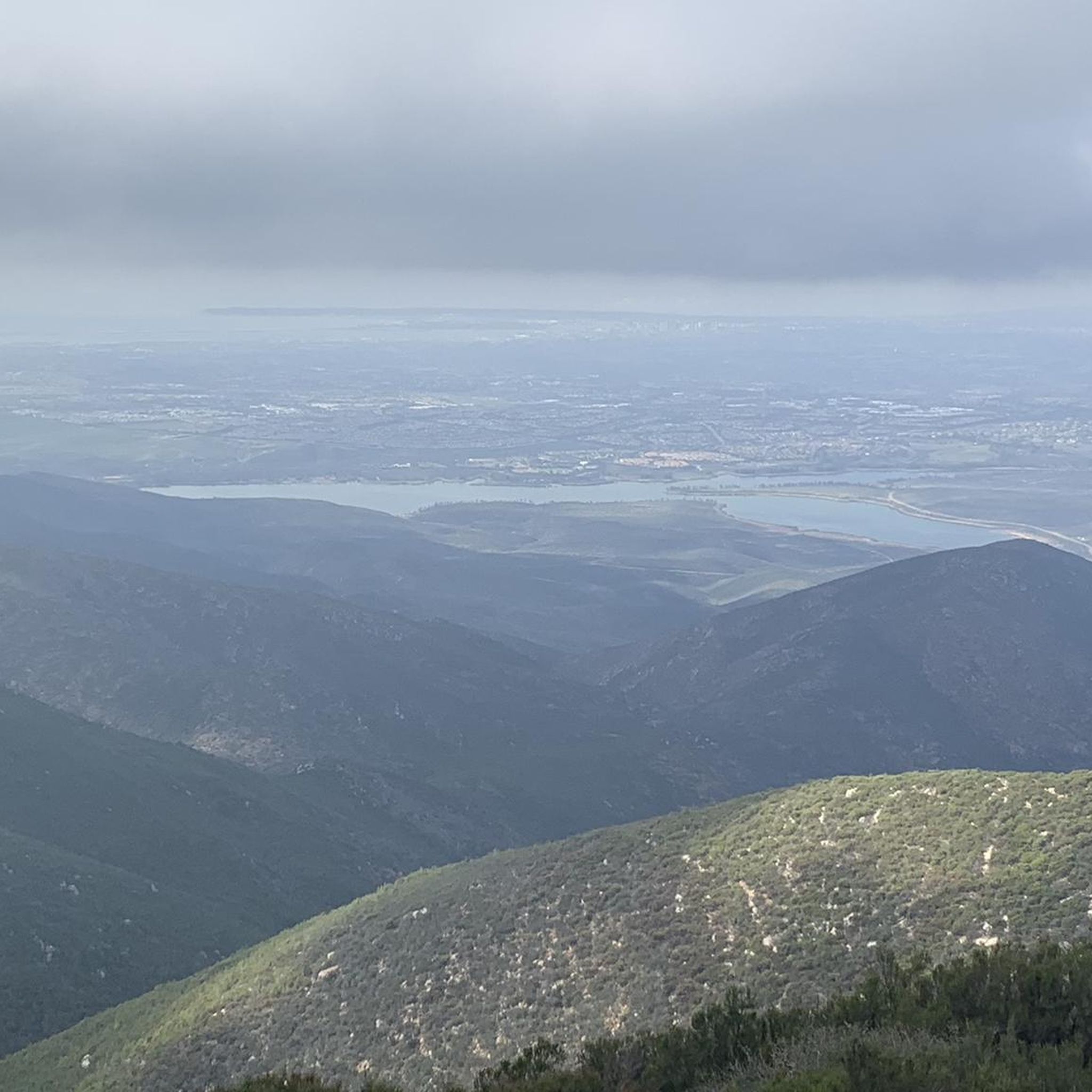
Road cycling in Otay Mountain Wilderness primarily occurs in the surrounding areas, as designated wilderness often restricts mechanical transport. The region features rugged mountainous terrain with steep hills, valleys, and canyons, offering challenging routes. Adjacent areas like Lower Otay Lake and Otay Valley Regional Park provide paved surfaces suitable for road bikes. Cyclists can experience panoramic views of San Diego County, Tijuana, and the Pacific Ocean from higher elevations.
Best road cycling routes in Otay Mountain Wilderness
- The most popular…
Last updated: October 1, 2026
12
riders
44.8km
02:24
870m
870m
Moderate road ride. Good fitness required. Mostly well-paved surfaces and easy to ride.
34
riders
68.0km
03:29
1,090m
1,090m
Hard road ride. Very good fitness required. Some segments of this route may be unpaved and difficult to ride.

26
riders
31.1km
01:24
290m
290m
Easy road ride. Great for any fitness level. Mostly well-paved surfaces and easy to ride.
5.0
(13)
19
riders
65.4km
03:02
630m
630m
Moderate road ride. Good fitness required. Mostly well-paved surfaces and easy to ride.
5
riders
62.9km
03:01
760m
760m
Moderate road ride. Good fitness required. Some segments of this route may be unpaved and difficult to ride.
Get access to more routes and recommendations from other explorers.
Already have an account?
Our route recommendations are based on thousands of hikes, rides, and runs completed by other people on komoot.
Start today with a free account
Your next adventure awaits.
Popular around Otay Mountain Wilderness
Tips from the Community

Nice bike trail. Just watch out for the homeless camp
0
0


The Steele Canyon Bridge, also known as the Sweetwater River Bridge, is a beautiful landmark crossing the Sweetwater River. It is on the National Register of Historic places, and is no longer used for vehicles but is a great hiking, running or biking spot.
0
0

The Sweetwater River starts high in the Cuyamaca Mountains. The name "Sweetwater" originates from the olden days when people would generally refer to a fresh water river as a sweet water river due to the taste of the water. Along side the river is the Sweetwater Bikeway which is a shared bike path. It can get fairly busy at times, especially on the weekends, so be mindful of other path users.
0
0
The Sweetwater River starts high in the Cuyamaca Mountains. The name "Sweetwater" originates from the olden days when people would generally refer to a fresh water river as a sweet water river due to the taste of the water. Along side the river is the Sweetwater Bikeway which is a shared bike path. It can get fairly busy at times, especially on the weekends, so be mindful of other path users.
0
0

Here you can cycle alongside the river. The Sweetwater River runs from the Cuyamaca Mountains into San Diego Bay. This multi-use path is part of the Sweetwater Bikeway, which is a paved trail along the river. This can get quite busy, so be respectful of other path users.
1
0

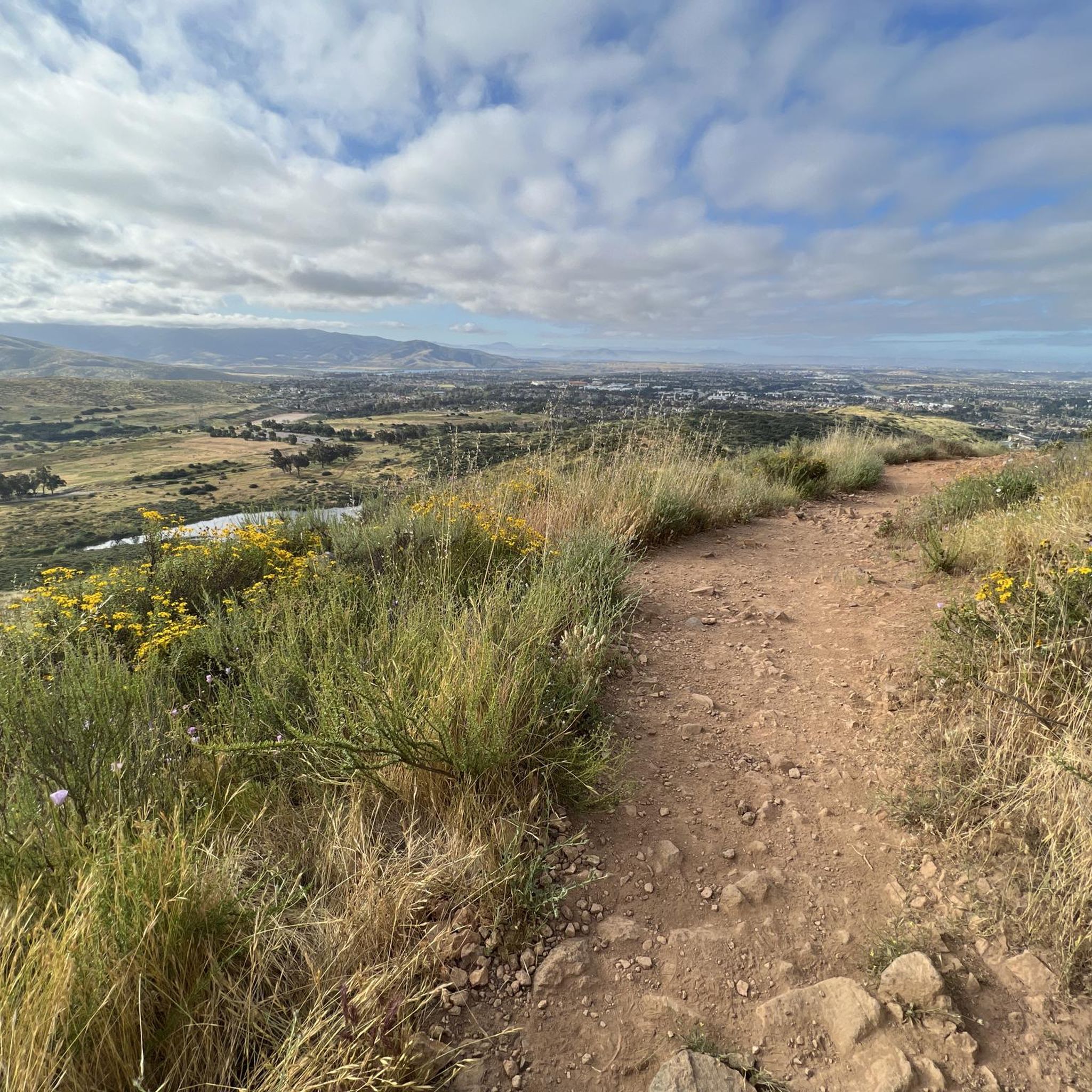
Hollenbeck Canyon Wildlife Area provides a 6,100-acre wildlife corridor between Otay Mountain and the Jamul Mountains. This mainly includes coastal sage scrub, chaparral, oak woodlands, riparian forests, freshwater marshes, and grasslands. The height range hovers between a low of 750' to 2,100'.
0
0
Hollenbeck Canyon Wildlife Area provides a 6,100-acre wildlife corridor between Otay Mountain and the Jamul Mountains. This mainly includes coastal sage scrub, chaparral, oak woodlands, riparian forests, freshwater marshes, and grasslands. The height range hovers between a low of 750' to 2,100'. There are official designated hiking trails for visitors to hike.
0
0
Frequently Asked Questions
How many road cycling routes are available in the Otay Mountain Wilderness area?
There are over 25 road cycling routes available in the vicinity of Otay Mountain Wilderness. These routes offer a variety of experiences, from easy loops to more challenging rides with significant elevation gain.
What kind of terrain can I expect when road cycling near Otay Mountain Wilderness?
While the designated wilderness itself is primarily rugged mountainous terrain with steep hills and canyons, road cycling opportunities in adjacent areas feature mostly paved surfaces. You'll find routes around Lower Otay Lake, Otay Lakes County Park, and Otay Valley Regional Park that are suitable for road bikes. Expect challenging climbs and rewarding descents on some routes, while others offer more gentle, scenic rides.
Is Otay Mountain Wilderness suitable for traditional road bikes, or is gravel cycling more appropriate?
Traditional road cycling on paved surfaces is primarily found in areas adjacent to the designated Otay Mountain Wilderness, such as around Lower Otay Lake. Within the wilderness, mechanical transport is generally restricted. However, 'truck trails' like the Otay Mountain Truck Trail, which are not part of the wilderness designation, are open to cycling and are ideal for gravel bikes, offering challenging dirt and gravel roads. For pure road cycling, focus on the surrounding paved routes.
What are the difficulty levels of road cycling routes in the Otay Mountain Wilderness area?
The routes in the area cater to various skill levels. You can find easy routes, such as the Otay Reservoir Dam loop from Hwy 94 & Honey Springs Road, which is 17.1 miles long. The majority of routes are moderate, and there are also several difficult options for experienced cyclists seeking a challenge.
What scenic viewpoints or natural features can I see while cycling near Otay Mountain Wilderness?
Cyclists can enjoy panoramic views of San Diego County, Tijuana, and the Pacific Ocean from higher elevations. On clear days, distant mountain ranges like the San Gabriel, San Jacintos, and San Bernardino Mountains may also be visible. The area is also known for its diverse ecosystem and unique plant and animal species.
Are there any water features along the road cycling routes?
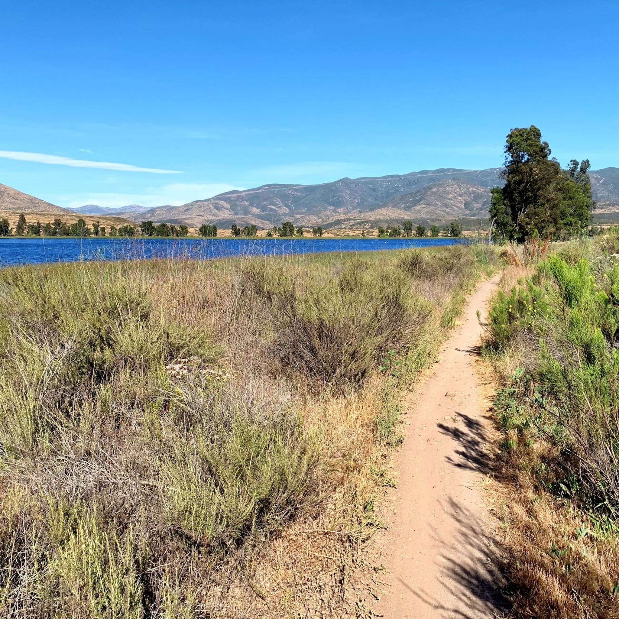
Yes, Lower Otay Lake is a prominent feature in the area, offering scenic views and recreational opportunities. Routes like the Otay Reservoir Dam – Lower Otay Reservoir loop from Otay Ranch Town Center take you through this beautiful area. The Otay Valley Regional Park also features bridges, ponds, and wildlife along its trails, connecting to the Lower Otay Reservoir.
Are there any permits required for road cycling in the Otay Mountain Wilderness area?
Generally, no specific permits are required for road cycling on public roads and trails outside the federally designated wilderness area. However, it's always advisable to check the latest regulations from the Bureau of Land Management (BLM) for any updates, especially if you plan to explore areas close to the wilderness boundary. You can find more information on the BLM website: blm.gov/visit/otay-mountain-wilderness.
What are the parking options for road cyclists near Otay Mountain Wilderness?
Parking is typically available at trailheads, parks, and designated access points around the perimeter of the wilderness and near the lakes. For example, routes often start from locations like Pio Pico Country Store or Otay Ranch Town Center, which usually have parking facilities. Always check specific route details for recommended starting points and parking information.
What is the best season for road cycling in the Otay Mountain Wilderness area?
The Otay Mountain Wilderness area experiences a Mediterranean climate, making spring and fall ideal for road cycling due to milder temperatures. Winter can also be pleasant, though occasional rain may occur. Summers can be very hot, so early morning rides are recommended if cycling during this season.
Are there any easy or family-friendly road cycling routes available?
Yes, there are easy routes suitable for beginners or families. The Otay Reservoir Dam loop from Hwy 94 & Honey Springs Road is an easy 17.1-mile path that offers scenic views around Lower Otay Lake, making it a great option for a more relaxed ride.
What do other cyclists say about road cycling in the Otay Mountain Wilderness area?
The area is highly rated by the komoot community, with an average score of 4.8 stars from over 30 reviews. Cyclists often praise the challenging terrain, the stunning panoramic views, and the diverse natural environment found along the routes.
Are there any loop trails for road cycling near Otay Mountain Wilderness?
Yes, many of the road cycling routes in the area are designed as loops, allowing you to start and end at the same point. Examples include the Lyons Valley Trading Post loop from Pio Pico Country Store and the Glorietta Bay Park – Glorietta Bay Park loop from Otay Ranch Town Center, which is a longer 40.2-mile ride.
Can I reach road cycling routes near Otay Mountain Wilderness using public transport?
While direct public transport access to all trailheads might be limited, some routes, especially those starting closer to urban centers like the Otay Reservoir Dam – Lower Otay Reservoir loop from Otay Ranch Town Center, may be accessible via San Diego's Metropolitan Transit System (MTS) routes. It's recommended to check specific MTS schedules and routes to plan your journey.
Most popular routes in Otay Mountain Wilderness

Get inspired with the komoot mobile app


Explore more
Browse the best Road cycling routes in other regions.
