Boundary Waters Canoe Area Wilderness
Boundary Waters Canoe Area Wilderness
Attractions and Places To See in Boundary Waters Canoe Area Wilderness - Top 14
Best attractions and places to see in Boundary Waters Canoe Area Wilderness include a vast network of over 1,100 glacial lakes, pristine forests, and historical canoe routes. This wilderness area, located in northeastern Minnesota, is known for its rugged cliffs, rocky shores, and extensive waterways. It preserves ancient pictographs and traditional Voyageur routes, offering a glimpse into its rich cultural and natural history. The region is characterized by its untouched natural landscape, making it a significant area for outdoor exploration.
Best attractions and places to see in Boundary Waters Canoe Area Wilderness
- The most popular attractions is Rose Lake, a lake that lies on the international border between the United States and Canada. Cliffs rise 300 to 400 feet above the lake's surface, formed by hard slates that resist erosion.
- Another must-see spot is Clearwater Lake West Campsite, a campsite offering views to the east. This location provides a selection of several tent pads and a well-placed fire pit on a rock platform.
- Visitors also love Powwow Trailhead, which offers parking and BWCAW permits for hikers. This trailhead marks the start of the 2.7 mile "Stem" section of the Powwow Trail.
- Boundary Waters Canoe Area Wilderness is known for its extensive lakes, hiking trails, and historical sites. Visitors can explore a variety of natural features and cultural points of interest throughout the region.
- The attractions in Boundary Waters Canoe Area Wilderness are appreciated by the komoot community, with 2 highlights having photos and 2 highlights receiving upvotes.
Last updated: July 12, 2026
Powwow Trailhead
Highlight • Trail
The trailhead is the start of the 2.7 mile section of the trail known as the "Stem". At the end of the "Stem" you will find an intersection with the much larger "Loop" part of the Powwow trail. The "Loop" is over 25 miles in length. The intersection of the "Stem" and the "Loop" is known as the "Wye".
Tip by

Rose Lake
Highlight • Lake
Tip by

Sign up now to discover places like this
Get recommendations on the best single tracks, peaks, & plenty of other exciting outdoor places.
Sign up for free
Clearwater Lake West Campsite
Highlight • Rest Area
Tip by
Pine Lake
Highlight • Lake
Tip by
Gogebic Lake
Highlight • Lake
Tip by
Sign up for free to discover even more attractions in Boundary Waters Canoe Area Wilderness.
Sign up for free
Already have an account?
Start today with a free account
Your next adventure awaits.
Login or Signup


Other adventures in Boundary Waters Canoe Area Wilderness

Tips from the Community

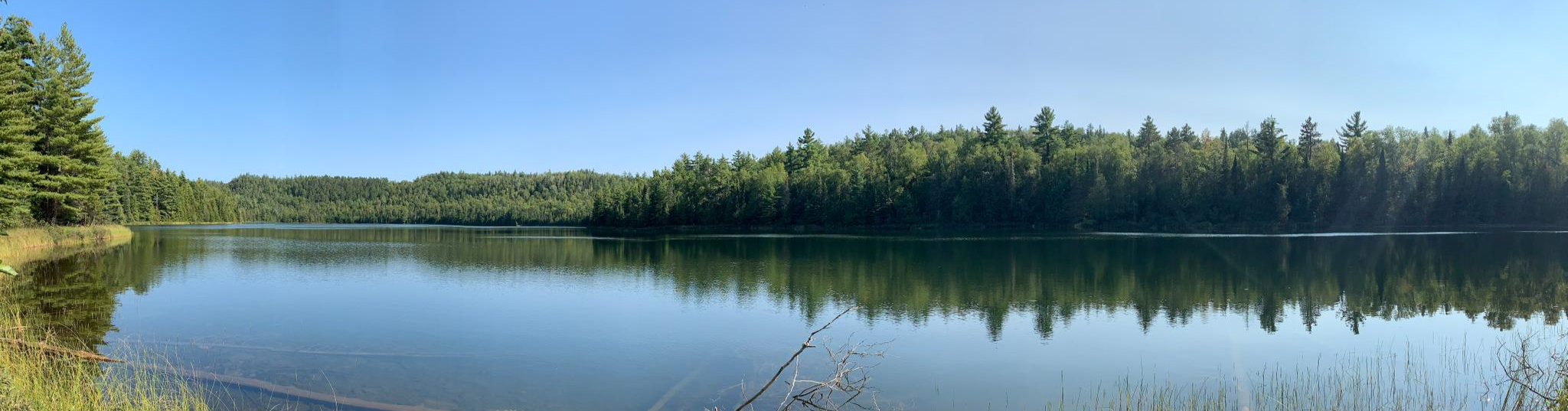
Pine Lake stretches nearly eight miles long, nestled within the ancient bedrock of the Rove Formation, which extends into Ontario, Canada. This stunning lake is a favorite for paddlers due to several portages leading to other nearby lakes. Surrounded by impressive ridgelines rising to 500 feet above the water, the lake has ten campsites (most along the north shore) and an abundance of lake trout, smallmouth bass, and walleye. It’s a must-stop if you have your fishing pole with you, and an ideal place to stop for lunch or pitch your tent for an overnight.
0
0
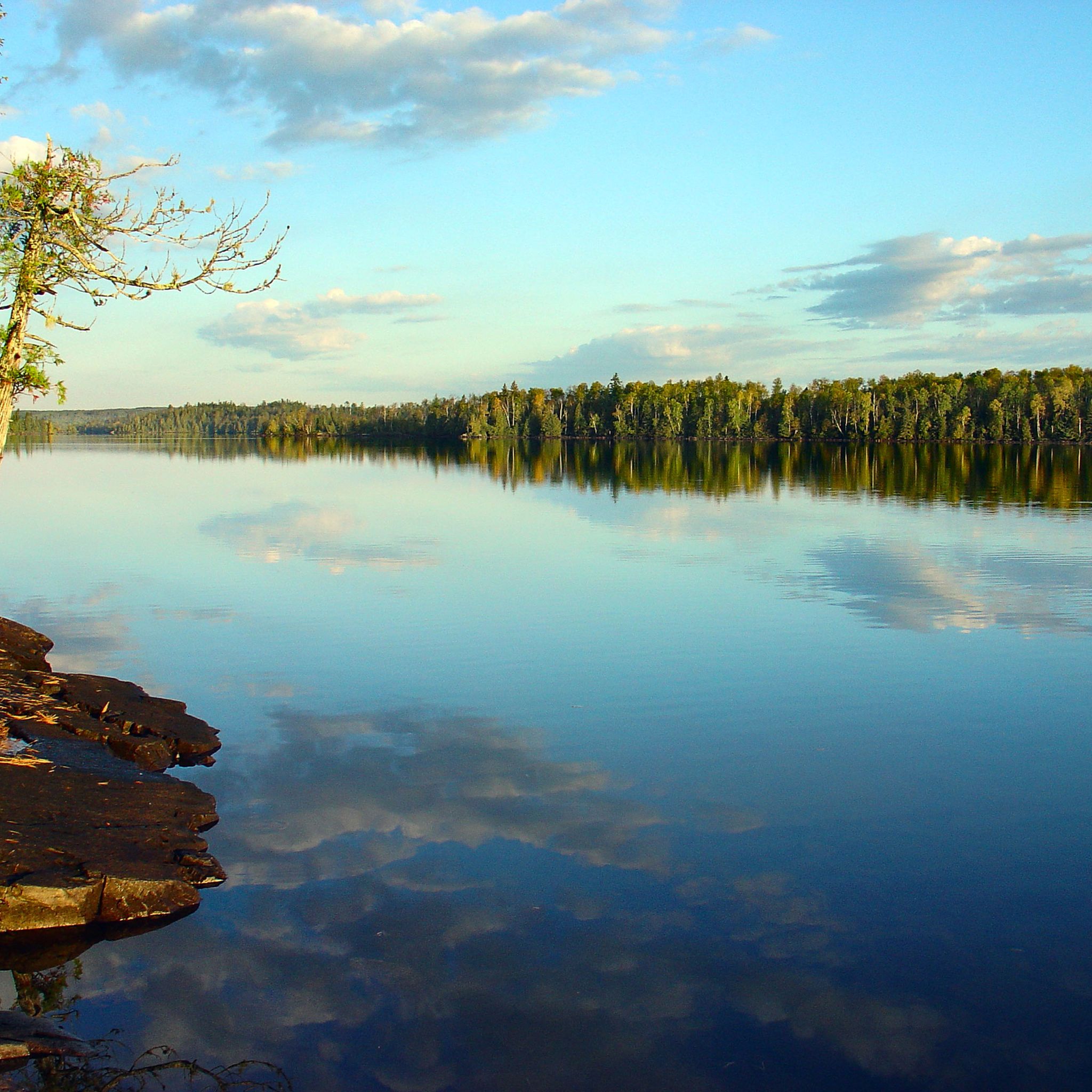
Pronounced "Go-gee-bic," Gogebic Lake gets its name from the Ojibwe language, meaning roughly "where trout make rings on the water." At 1672 feet in elevation (116 feet above West Pike Lake), this picturesque lake is bordered by hills over 2000 feet high. The lake has been stocked with trout since 1957, with brook trout stocked every other year by the Minnesota DNR, making it an ideal spot for catching a few fish while you're here. There are two campsites along the lake, one right on the Border Route Trail (BRT) and the other reachable only by canoe.
0
0
This campsite one of the best on the lake. The fire pit is well-placed on a rock platform high above the lake, offering breathtaking views to the east—perfect to watch the sunrise with a cup of coffee or tea to start your morning. There is a fantastic selection of several tent pads, and the latrine is in an ideal location, just out of the way. If you’re looking to stop for the day, this campsite is an excellent choice. It’s relatively close to the portage to Mountain Lake, so while you're here, you may hear groups passing by on the way to their next adventure.
0
0
This beautiful lake lies on the international border between the United States and Canada, nestled within the Boundary Waters (BWCAW). The boundary line runs right down the center of the lake instead of following the land, resulting from a treaty establishing the border based on historical canoe routes used by voyageurs. The only access to the lake is by canoe through portages from Duncan Lake, or by hiking the Border Route Trail or Caribou Rock Trail. In many areas along the shoreline, cliffs rise 300 to 400 feet above the lake's surface, formed by hard slates that resist erosion, creating stunning natural scenic overlooks.
0
0

The trailhead is the start of the 2.7 mile section of the trail known as the "Stem". At the end of the "Stem" you will find an intersection with the much larger "Loop" part of the Powwow trail. The "Loop" is over 25 miles in length. The intersection of the "Stem" and the "Loop" is known as the "Wye".
0
0
The Powwow Trailhead offers parking and BWCAW permits for hikers traveling into the area. Permits are necessary for both day and overnight hiking. The trailhead is the start of the 2.7 mile section of the trail known as the "Stem". At the end of the "Stem" you will find an intersection with the much larger "Loop" part of the Powwow trail. The "Loop" is over 25 miles in length. The intersection of the "Stem" and the "Loop" is known as the "Wye".
0
0
Frequently Asked Questions
What are some notable lakes to explore in the Boundary Waters Canoe Area Wilderness?
The Boundary Waters Canoe Area Wilderness is home to over 1,100 lakes. Some prominent ones include Rose Lake, known for its dramatic cliffs and international border location, and Pine Lake, favored by paddlers and anglers. Other significant lakes include Gogebic Lake, stocked with brook trout, and Knife Lake, offering iconic freshwater scenery. For solitude, Rifle Lake has a single campsite, while Saganaga Lake is excellent for exploring islands. Clearwater Lake provides beautiful vistas, especially from the Clearwater Lake West Campsite.
Are there any waterfalls to see in the Boundary Waters Canoe Area Wilderness?
Yes, the BWCAW features several beautiful waterfalls. You can find Rebecca, Curtain, Lower Basswood, and Upper Basswood Falls along the traditional Voyageur route through Lac La Croix, Iron, and Basswood lakes. More accessible waterfalls like Fifty Foot Falls, High Falls, and Grass River Cascade are also present near various campgrounds.
Where can I find scenic viewpoints or challenging hikes with great views in the BWCAW?
For panoramic views, consider hiking to the top of Eagle Mountain, the highest point in Minnesota, which offers a popular 3.5-mile trail. The Clearwater Palisades also provide great views after a hike. Additionally, the cliffs rising 300 to 400 feet above Rose Lake offer stunning natural overlooks, accessible via canoe portages or by hiking the Border Route Trail or Caribou Rock Trail.
What kind of outdoor activities are popular in the Boundary Waters Canoe Area Wilderness?
The BWCAW is a premier destination for outdoor enthusiasts. Popular activities include canoeing and portaging across its extensive network of lakes and streams, hiking on trails like the Powwow Trail, and fishing for species such as northern pike, walleye, and various trout. Stargazing is also a highlight, as the area is a designated Dark Sky Sanctuary.
Are there specific routes for hiking or running near the attractions?
Yes, the region offers various routes for hiking and running. For hikers, the Powwow Trailhead is the starting point for the 2.7-mile 'Stem' section, leading to a 25-mile 'Loop'. Other significant trails include the Border Route Trail and the Kekekabic Trail. For running, you can explore routes like the Powwow Trail (8.6 km) or the Bass and Dry Lake Loop (9.2 km). Easy hiking options include the Blackstone Lake Loop (3.4 km) and the Magnetic Rock Trail (4.8 km).
What are the fishing opportunities like in the Boundary Waters Canoe Area Wilderness?
Fishing is a highly popular activity in the BWCAW. Many lakes, including Basswood, Saganaga, Seagull, and Knife, are renowned for lake trout. Pine Lake offers lake trout, smallmouth bass, and walleye, while Gogebic Lake has been stocked with brook trout since 1957. The diverse waters provide excellent chances to catch northern pike, walleye, largemouth bass, smallmouth bass, and various trout species.
Are there options for winter activities in the Boundary Waters Canoe Area Wilderness?
Yes, the BWCAW transforms into a winter wonderland, offering opportunities for skiing, dogsledding, winter camping, and ice fishing. These activities provide a unique and serene way to experience the wilderness during the colder months.
Are there any historical or cultural sites to visit in the Boundary Waters Canoe Area Wilderness?
The BWCAW is rich in history and culture. You can find ancient pictographs, rock paintings left by Indigenous peoples, particularly on North Hegman Lake. The area also preserves traditional Voyageur routes, which were used by French Canadian fur traders, with some border lakes even having the international boundary running down their center due to treaties based on these routes. The crossing of the Laurentian Divide at Height of Land Portage was a significant site for these voyageurs.
What are the permit requirements for visiting the Boundary Waters Canoe Area Wilderness?
Permits are required for all overnight and motorized day trips into the BWCAW. Reservations are highly recommended, especially during peak seasons, as there are limited quota permits for each entry point. The Powwow Trailhead, for example, offers parking and BWCAW permits for hikers.
Is the Boundary Waters Canoe Area Wilderness suitable for families?
Yes, the BWCAW can be very family-friendly, especially for those who enjoy outdoor adventures. Many lakes, such as Rose Lake and Pine Lake, are considered family-friendly for paddling and camping. Campsites like Clearwater Lake West Campsite offer good facilities and beautiful views, making them suitable for family stops. Planning an appropriate route and duration is key for a successful family trip.
What is the best time of year to visit the Boundary Waters Canoe Area Wilderness?
The best time to visit depends on your preferred activities. Summer (June-August) is popular for canoeing, hiking, and fishing, though it can be busy. Spring (May-early June) offers fewer crowds and good fishing but can have cooler temperatures and insects. Fall (September-October) provides stunning foliage, fewer bugs, and cooler weather, ideal for hiking and paddling. Winter offers unique opportunities for skiing, dogsledding, and ice fishing for those prepared for cold conditions.
Can I experience stargazing in the Boundary Waters Canoe Area Wilderness?
Absolutely! In 2020, the BWCAW was designated a Dark Sky Sanctuary, making it an exceptional location for night sky viewing. Far from light pollution, visitors can enjoy spectacular views of stars, planets, and potentially even the Aurora Borealis, offering a truly immersive wilderness experience after dark.
Are there accessible trails or facilities in the Boundary Waters Canoe Area Wilderness?
While the BWCAW is largely a wilderness area known for its rugged terrain and portages, which can be challenging, some entry points and shorter trails might offer easier access. However, the primary experience involves non-motorized travel and self-reliance. Visitors seeking accessible options should research specific entry points and trails carefully, as the wilderness designation prioritizes natural preservation over extensive accessibility infrastructure.
Most popular routes in Boundary Waters Canoe Area Wilderness
Most popular attractions in Boundary Waters Canoe Area Wilderness

Get inspired with the komoot mobile app


Explore more
Still not found the Highlight you’re looking for? See guides of the top attractions in other regions:
