The best road cycling routes in Magic Mountain Wilderness
4.5
(21)
703
riders
20
rides
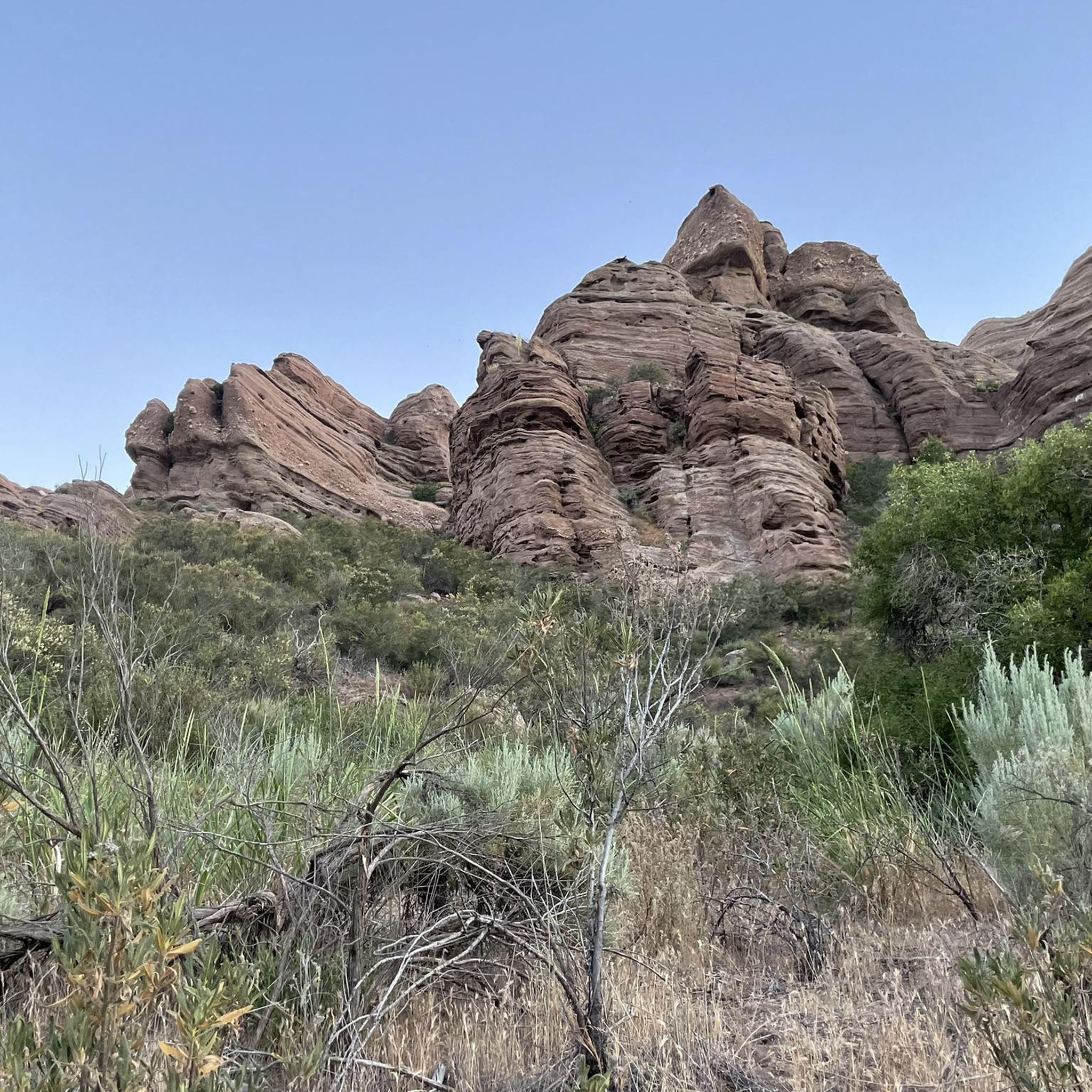
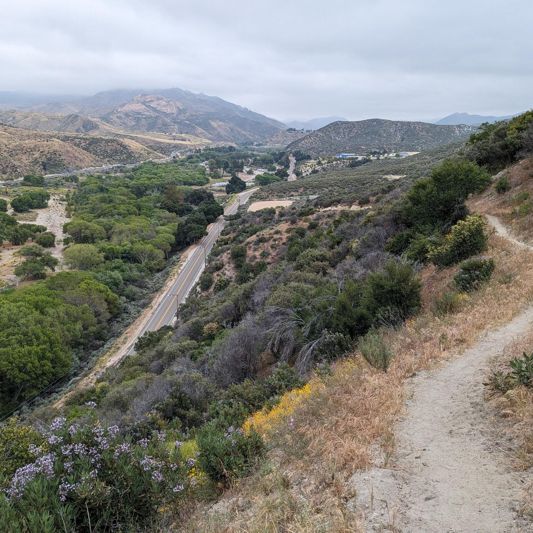
Road cycling routes in Magic Mountain Wilderness traverse diverse landscapes within the San Gabriel Mountains National Monument and Angeles National Forest. The region features chaparral-covered hillsides, oak-studded canyons, and areas with mixed pine and hardwood forests at higher elevations. Cyclists can experience rugged, vertical-walled canyons and enjoy panoramic views of the western San Gabriel Mountains. The Santa Clara River also offers paved trails through a relatively undeveloped natural river system.
Best road cycling routes in Magic Mountain Wilderness
- The most…
Last updated: July 13, 2026
22
riders
58.1km
03:06
1,010m
1,010m
Hard road ride. Very good fitness required. Mostly well-paved surfaces and easy to ride.
14
riders
36.6km
02:16
830m
830m
Moderate road ride. Good fitness required. Mostly well-paved surfaces and easy to ride.

Sign up for free
5.0
(12)
194
riders
41.7km
02:06
210m
210m
Embark on the Santa Clara River and San Francisquito Creek Trail Loop for a moderate racebike ride that blends urban shorelines with natural settings. This 25.9-mile (41.7 km) route will…
64
riders
49.8km
02:26
600m
600m
Moderate road ride. Good fitness required. Mostly well-paved surfaces and easy to ride.
17
riders
Moderate road ride. Good fitness required. Some segments of this route may be unpaved and difficult to ride.
Get access to more routes and recommendations from other explorers.
Sign up for free
Already have an account?
Our route recommendations are based on thousands of hikes, rides, and runs completed by other people on komoot.
Start today with a free account
Your next adventure awaits.
Login or Signup
Popular around Magic Mountain Wilderness

Tips from the Community

Placerita Canyon Road is a doubletrack dirt trail accessible for hiking or biking. A gate blocks vehicle access, and the road offers a scenic route trough the Placerita Canyon Natural Area.
1
0

Excellent paved dedicated bike trail along the north bank of the Santa Clara River, It currently stretches from Discovery Park in the west of Santa Clarita to Lost Canyon road a mile east from here, where it connects to rural or residential roads.
0
0
Pleasant long trail along the northern river bank, shared with a parallel paved bike trail.
1
0


North of Los Angeles is a beautiful canyon. It runs from Newhall to Sand Canyon Road. This land was once occupied by Tataviam Native Americans. The canyon provides beautiful views of the western San Gabriel Mountains and it makes for a super good cycle section.
0
0

The San Francisquito Creek Trail travels through various parks and across different bridges on the banks of the Santa Clara River and San Francisquito Creek. The path is completely paved and goes on both sides of the creek, giving you the chance to run or cycle a loop depending on what trailhead you start at.
0
0
At about 84 miles long, the Santa Clara River is the largest natural river system in southern California remaining in a relatively undeveloped state. Along its length there is the 8 mile long Santa Clara River Trail, which is a paved bicycle and walking path in the city of Santa Clarita.
0
0

During spring migration, this spot transforms into a hotspot for birdwatchers, with thousands of birds (even 20,000!) soaring through a nearby mountain gap, offering a truly awe-inspiring spectacle. Keep an eye out for vibrant lupine flowers, adding splashes of color to the hillside.
0
0
Frequently Asked Questions
Is road cycling permitted directly within the Magic Mountain Wilderness?
No, bicycles are explicitly prohibited within the designated Magic Mountain Wilderness itself due to its federal wilderness status. However, the adjacent region, particularly the Santa Clarita Valley and areas within the Angeles National Forest, offers an abundance of diverse and scenic road cycling opportunities.
How many road cycling routes are available in the Magic Mountain Wilderness area?
The region surrounding Magic Mountain Wilderness offers a good selection of road cycling routes. Komoot lists 14 distinct routes, ranging in difficulty from easy to difficult, ensuring options for various skill levels.
What kind of terrain and difficulty can I expect on road cycling routes near Magic Mountain Wilderness?
The terrain varies significantly. You'll find generally flat, paved paths along river trails, such as the Santa Clara River and San Francisquito Creek Trail Loop. For more challenging rides, expect significant elevation gains through chaparral-covered hillsides, oak-studded canyons, and mixed pine forests, with routes like the Bear Divide – Placerita Canyon Road loop from Vista Canyon featuring over 1,000 meters of ascent.
Are there any challenging road cycling routes for experienced riders?
Yes, for experienced riders seeking a challenge, routes like the Bear Divide – Placerita Canyon Road loop from Vista Canyon and the Bear Divide – Dillon Divide loop from Vista Canyon offer significant elevation gains and are considered difficult. The Magic Mountain Bike Climb, though not listed as a specific Komoot tour here, is also known as a challenging ascent on a paved road, providing intense workouts and rewarding views.
Are there any easier or family-friendly road cycling options?
Absolutely. The Santa Clara River and San Francisquito Creek Trail Loop is an excellent option. This moderate route follows dedicated paved trails along the Santa Clara River and San Francisquito Creek, offering generally flat riding with gentle elevation changes, making it suitable for families or those seeking a more relaxed ride.
What natural features or viewpoints can I expect to see while cycling?
Cyclists can enjoy panoramic views of the western San Gabriel Mountains throughout many routes. The area features chaparral-covered hillsides, oak-studded canyons, and mixed pine and hardwood forests at higher elevations. The Santa Clara River is also a prominent natural feature, with paved trails following its course. On clear days, the summit of Magic Mountain offers expansive views stretching from the Tehachapi Mountains to the Pacific Ocean.
Are there any historical or cultural points of interest along the routes?
Yes, the region has historical significance. Placerita Canyon Road passes through an area once occupied by Tataviam Native Americans. Nearby, you can find the Marshall Homestead Ruins in Golden Valley Ranch Open Space. The summit of Magic Mountain itself also houses a former NIKE missile base, with visible silos, adding a unique historical dimension to a challenging climb.
Can I find loop trails for road cycling in this area?
Yes, many of the popular road cycling routes in the Magic Mountain Wilderness area are designed as loops. Examples include the Bear Divide – Placerita Canyon Road loop from Vista Canyon and the Placerita Canyon Road – Santa Clara River Trail loop from BLM Open Space, allowing you to start and end at the same point.
When is the best time of year to go road cycling in the Magic Mountain Wilderness region?
The region generally offers good cycling conditions for much of the year. Spring and fall typically provide the most pleasant temperatures. Summer can be very hot, especially on exposed routes like the Magic Mountain Bike Climb, requiring early starts and ample hydration. Winter can be mild, but higher elevations may experience colder temperatures or occasional precipitation.
What do other road cyclists say about the routes in the Magic Mountain Wilderness area?
The road cycling routes in the Magic Mountain Wilderness area are highly rated by the komoot community, with an average score of 5.0 stars from more than 10 reviews. Cyclists often praise the diverse landscapes, from scenic river trails to challenging mountain climbs, and the rewarding views of the San Gabriel Mountains.
What are the parking options for road cyclists in the Magic Mountain Wilderness area?
Parking is generally available at various access points for the routes. For example, routes like the Bear Divide – Placerita Canyon Road loop often start from areas like Vista Canyon, which typically offer parking facilities. For specific routes, it's advisable to check the tour details on komoot for recommended starting points and parking information.
Are there any cafes or places to stop for refreshments along the routes?
While some routes, particularly those closer to urban amenities in the Santa Clarita Valley, may pass by cafes or shops, many of the more challenging mountain routes are quite exposed with limited services. It's always recommended to carry sufficient water and snacks, especially for longer rides or those in higher elevations with no shade. Planning your route with potential stops in mind is key.

Get inspired with the komoot mobile app


