The best cycling routes in Mark O. Hatfield Wilderness
4.1
(12)
249
riders
17
rides
Touring cycling in Mark O. Hatfield Wilderness offers routes through diverse landscapes within Oregon's Cascade Mountains, adjacent to the Columbia River Gorge. The region features significant elevation changes, from around 100 feet near the Columbia River to nearly 4,900 feet on Mount Defiance. Cyclists can experience basalt cliffs, numerous waterfalls, and old-growth forests of Douglas-fir and hemlock at lower elevations. Major creeks like Herman Creek and Eagle Creek flow north towards the Columbia River, contributing to the lush environment.
Best…
Last updated: July 12, 2026
1
riders
38.1km
02:47
770m
770m
If you're looking for one of the best bike trails in the Columbia River Gorge, the Historic Columbia River Highway State Trail delivers a unique touring bicycle experience. This difficult…
6.14km
00:28
140m
140m
Pedal through a slice of history on the Historic Columbia River Highway State Trail, where the Columbia River Gorge unfolds with dramatic cliffs and lush forests. This easy touring cycling…

Sign up for free
4.6
(5)
41
riders
This touring cycling loop offers a delightful journey through the Columbia River Gorge, showcasing its iconic basalt cliffs and lush old-growth forests. You'll pedal along mostly well-paved surfaces, enjoying constant…
23
riders
42.1km
02:54
710m
710m
Hard bike ride. Very good fitness required. Mostly paved surfaces. Suitable for all skill levels.
10
riders
30.7km
02:07
460m
460m
Hard bike ride. Very good fitness required. Mostly paved surfaces. Suitable for all skill levels.
Get access to more routes and recommendations from other explorers.
Sign up for free
Already have an account?
Our route recommendations are based on thousands of hikes, rides, and runs completed by other people on komoot.
Start today with a free account
Your next adventure awaits.
Login or Signup
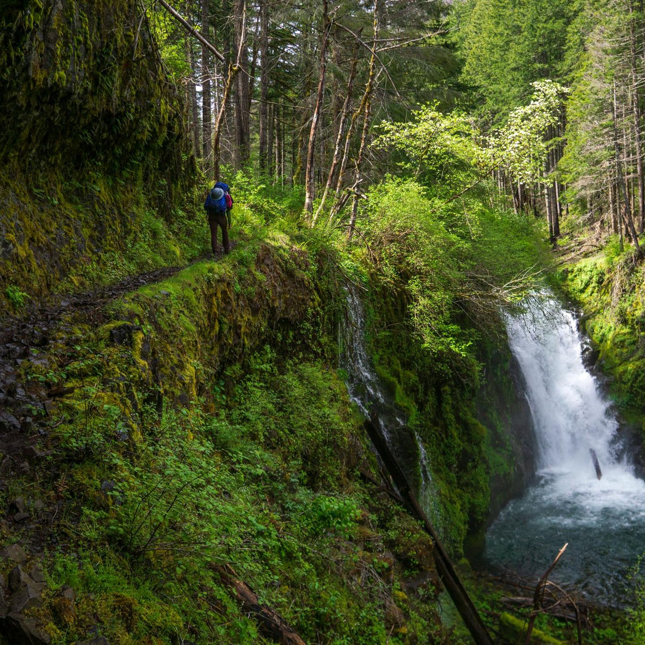
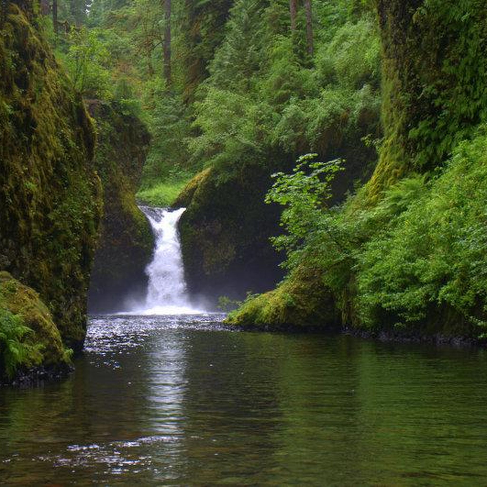
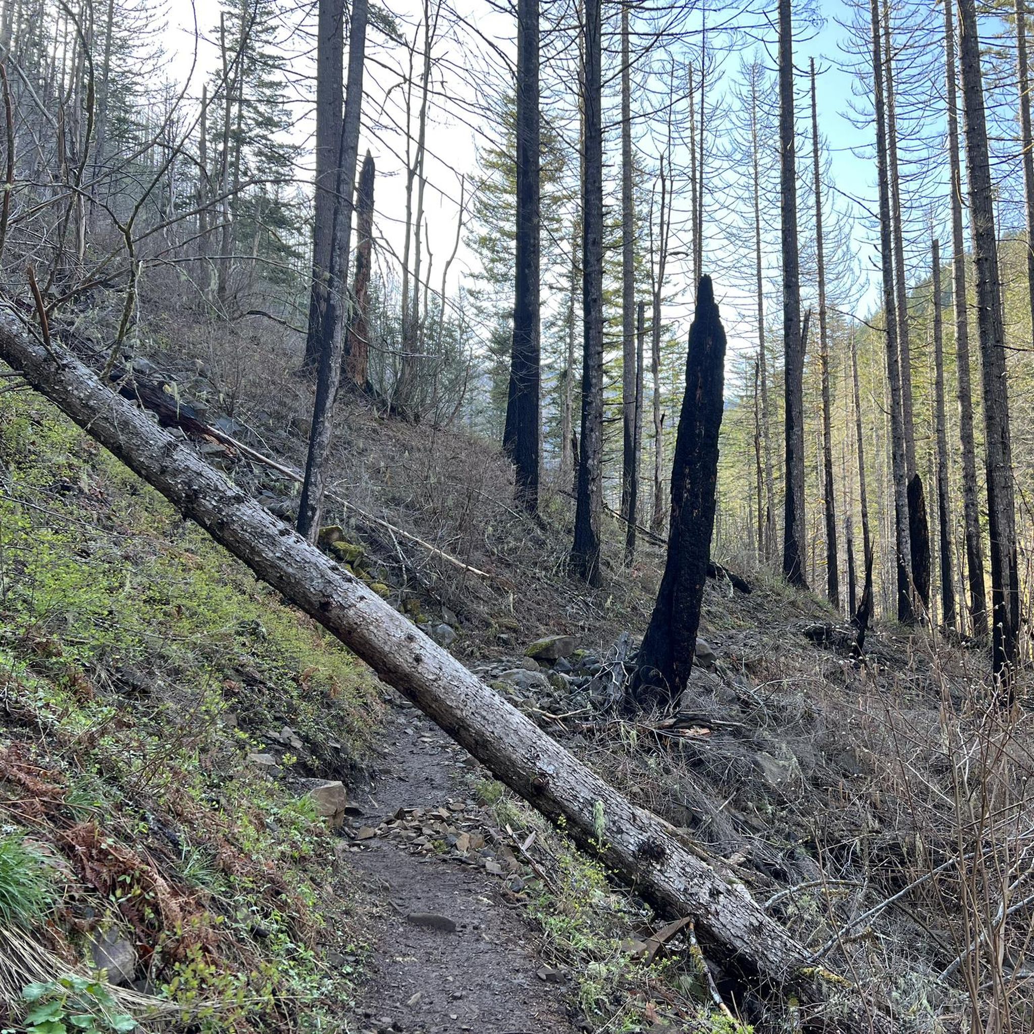
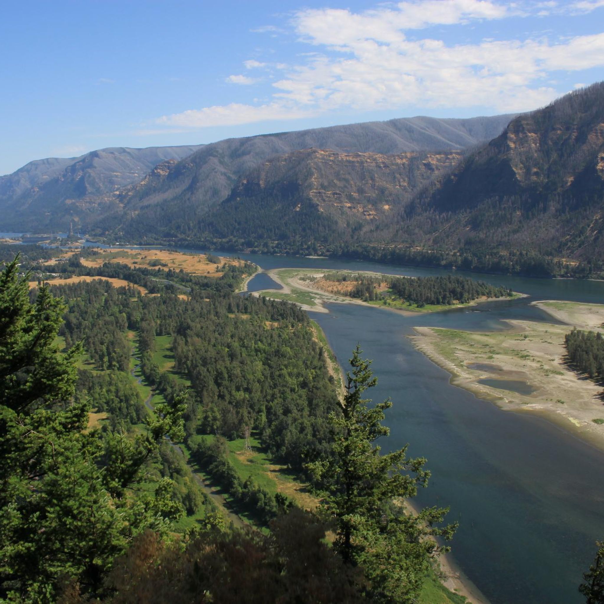
Tips from the Community

The falls and the short trail that leads to its base both feel as if they have been lost to time. There is parking near the bridge of the historic highway from which you can look down upon the waterfall, and the stone trail to the falls is in good condition but overgrown with moss, lending a mystical feel.
0
0

Here's a perfect spot to take a break, park your bike, and walk up the trail for an excellent view of both Lower and Upper Multnomah Falls.
1
0

The Historic Columbia River Highway State Trail consists of a few sections of path connected via parks and city streets. This section is a continuous paved path with access to a number of other trails branching off from the main trail once entering Viento State Park and Starvation Creek State Park.
0
0

While crossing over this bridge offers a great experience, where you can also closely observe the treetops, the best way to appreciate this bridge's structure is from below. You can do this by taking the walking trail of Latourell Falls Trail, which starts from the parking area near the bridge.
1
0

Tollbridge Park is located just a few yards from the famous Bridge of the Gods that spans over the Columbia River to connect the states of Oregon and Washington. There are restrooms and lots of shade if you want to take a break here.
1
0

There are a few good eats and drinks in town, and Thunder Island Brewing is for sure one of them. There are some great home brews on tap, and they can change, so try them while they are in rotation. Dine inside the new taproom or enjoy the views on the outdoor patio, where dogs are welcome to join. Hours: Sun - Thurs 11 a.m. - 8 p.m. Friday and Saturday, 11 a.m. to 9 p.m.
0
0
Mt Defiance Trailhead is another hop off point to see a waterfall. Here bikers can walk their bike 200 feet south to see Hole in the Wall Falls, or Lancaster Falls just a little bit east from Hole in the Wall. The trail is named after Mt Defiance, which at 4,960 feet tall, is the highest point in the Columbia Gorge.
0
0
Starvation Creek State Park can be easily overlooked by tourists. It is situated at the base of the steep walls of the Columbia Gorge. Starvation Creek State Park's most popular spot is only 100 feet north from the staircase; it's called Starvation Creek Waterfall; and from the trailhead, it's at the end of a boardwalk, 50 feet from the parking area. Picnic tables feature views of the falls; it's a great place to cool down on a hot day and a perfect spot to eat a packed lunch.
0
0
Frequently Asked Questions
How many touring cycling routes are available in Mark O. Hatfield Wilderness?
There are 15 touring cycling routes available in and around the Mark O. Hatfield Wilderness. These routes offer a variety of experiences, from easy paved paths to more challenging rides with significant elevation changes.
What kind of terrain can I expect on touring cycling routes in Mark O. Hatfield Wilderness?
The terrain for touring cycling in this region is quite varied. You can expect routes that range from paved, car-free sections like the Historic Columbia River Highway State Trail, to paths with significant elevation gains through basalt cliffs and old-growth forests. Elevations can vary dramatically, from around 100 feet near the Columbia River up to nearly 4,900 feet on Mount Defiance, offering diverse landscapes.
Are there any easy touring cycling routes suitable for beginners or families?
Yes, there are easy touring cycling routes available. For instance, a section of the Historic Columbia River Highway State Trail is an easy 3.8-mile (6.1 km) ride through the Columbia River Gorge, perfect for a more relaxed experience. This trail is generally car-free and paved, making it suitable for various cycling levels.
What are some challenging touring cycling routes in the area?
For those seeking a challenge, the longer Historic Columbia River Highway State Trail, spanning 23.6 miles (38.1 km), is classified as difficult due to its significant elevation gain. This route provides stunning views of the Columbia River Gorge but requires a good level of fitness.
What natural features or landmarks can I see along the touring cycling routes?
The Mark O. Hatfield Wilderness and its surroundings are rich in natural beauty. Along the routes, you can encounter spectacular basalt cliffs, lush old-growth forests, and numerous waterfalls. Notable waterfalls include Tunnel Falls, Twister Falls, and Wahclella Falls. You might also see the Bridge at Fern Creek and enjoy views from the High Bridge over Eagle Creek.
Are there any circular touring cycling routes in Mark O. Hatfield Wilderness?
Yes, there are circular routes available. An example is the Mt. Defiance Trailhead – Starvation Creek State Park loop from Viento State Park, which is a moderate 11.3-mile (18.1 km) path. Another option is the Mt. Defiance Trailhead – Starvation Creek State Park loop from Wyeth State Park, a moderate 8.8-mile (14.1 km) route.
What do other touring cyclists say about the routes in Mark O. Hatfield Wilderness?
The touring cycling routes in Mark O. Hatfield Wilderness are highly rated by the komoot community, with an average score of 4.1 stars from over 7 reviews. Cyclists often praise the dramatic scenery of the Columbia River Gorge, the presence of stunning waterfalls, and the variety of routes catering to different skill levels.
Is touring cycling permitted within the Mark O. Hatfield Wilderness itself?
The Mark O. Hatfield Wilderness is primarily designated for hiking and backpacking, with over 200 miles of trails. While the wilderness trails themselves are generally not open to bicycles, the surrounding area, particularly the Historic Columbia River Highway State Trail, offers excellent paved and car-free routes perfectly suited for touring cyclists to explore the scenic grandeur of the Columbia River Gorge.
Are there any routes that offer views of the Bridge of the Gods?
Yes, you can find routes that provide views of the iconic Bridge of the Gods. The View of the Bridge of the Gods – Cascade Locks Public Restroom loop from Fort Raines is a moderate 8.2-mile (13.2 km) route that allows you to experience this landmark.
What is the best time of year for touring cycling in this region?
While specific seasonal data isn't provided, the Columbia River Gorge area, where these routes are located, generally offers pleasant cycling conditions from spring through fall. Summer provides warm, dry weather, while spring and fall can offer cooler temperatures and vibrant foliage, though some rain is possible. It's always advisable to check local weather conditions before your ride.
Are there options for longer touring cycling adventures in the broader Columbia River Gorge area?
Yes, beyond the specific routes listed, the Mark O. Hatfield Trailhead serves as a gateway to exploring the wider Columbia River Gorge by bike. Other road and gravel cycling routes exist in the broader region, offering varied distances and challenges. These can be combined for longer rides, appealing to touring cyclists looking for multi-day adventures, often incorporating towns like Hood River.
Most popular routes in Mark O. Hatfield Wilderness
Most popular attractions in Mark O. Hatfield Wilderness

Get inspired with the komoot mobile app


Explore more
Browse the best Cycling routes in other regions.
