The best MTB trails in Shining Rock Wilderness
5.0
(6)
290
riders
19
rides
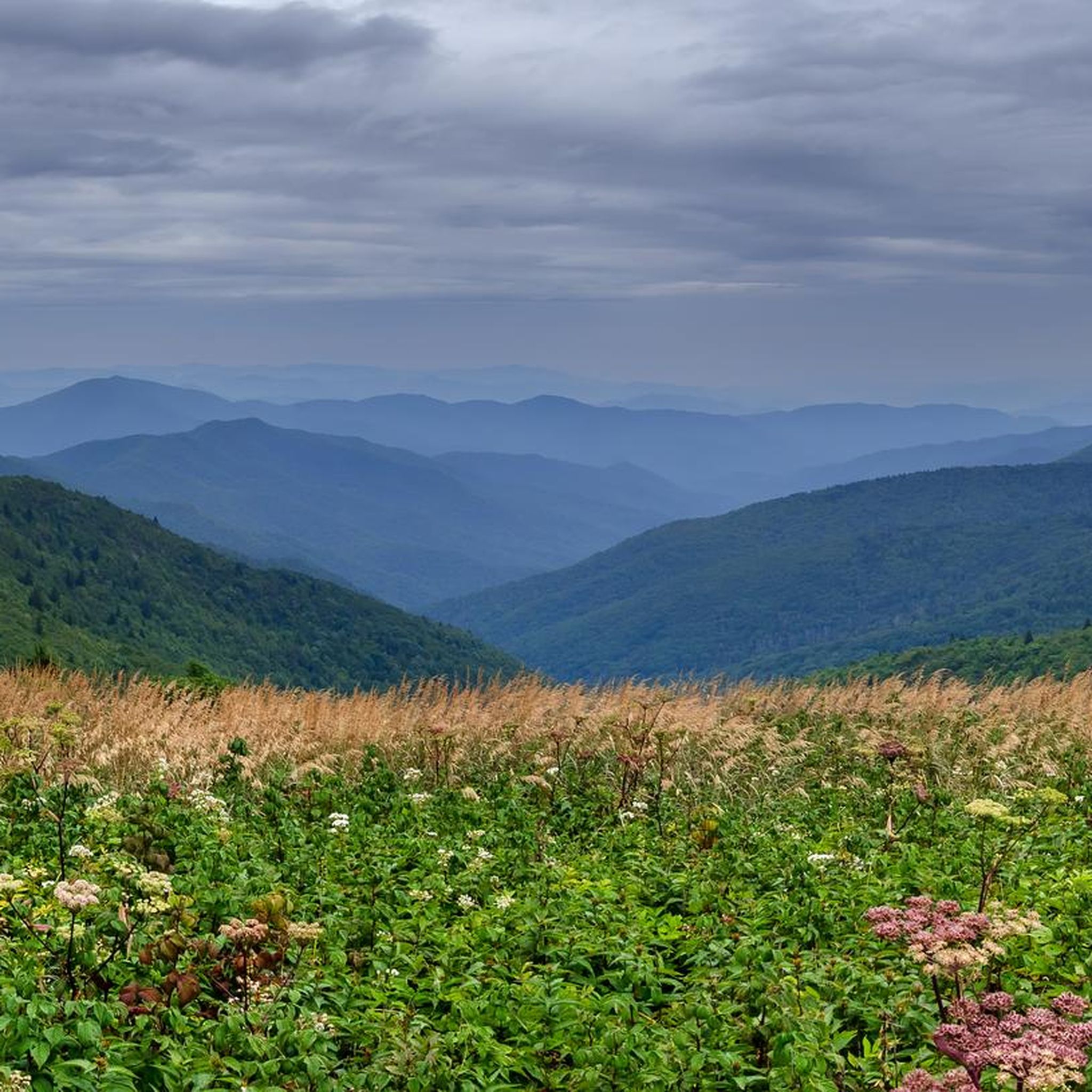
Mountain biking in Shining Rock Wilderness offers routes through a protected natural area characterized by forested slopes, rugged terrain, and natural paths. The region features varied elevations and dense woodlands, providing a challenging yet rewarding environment for mountain bikers. Trails often navigate through remote sections, requiring self-sufficiency. The landscape is primarily defined by its wilderness character, with natural surfaces and minimal development.
Best mountain bike trails in Shining Rock Wilderness
- The most popular mountain bike trail is Clawhammer, Buckwheat Knob…
Last updated: July 8, 2026
3
riders
28.6km
03:02
730m
740m
Tackle the Clawhammer, Buckwheat Knob and Bennet Gap Loop, a 17.8-mile expert mountain biking route in Pisgah National Forest.
25
riders
51.4km
05:24
1,280m
1,280m
Hard mountain bike ride. Very good fitness required. Advanced riding skills necessary.

Sign up for free
5.0
(1)
15
riders
16.7km
01:52
540m
540m
Moderate mountain bike ride. Good fitness required. Suitable for all skill levels.
5
riders
Moderate mountain bike ride. Good fitness required. Advanced riding skills necessary.
5
riders
24.3km
02:21
450m
450m
Moderate mountain bike ride. Good fitness required. Suitable for all skill levels.
Get access to more routes and recommendations from other explorers.
Sign up for free
Already have an account?
Our route recommendations are based on thousands of hikes, rides, and runs completed by other people on komoot.
Start today with a free account
Your next adventure awaits.
Login or Signup
Tips from the Community

This section of trail is great as a warm up or as a calm ending to your day. It is a relatively wide single track with lots of vegetations, some roots and rocks to ride over. Keep your eyes out for dense fern groves, which you will find all year round, but will best admire in the spring.
0
0
Squirrel Gap Trail is a remote single-track. It is named after one of the surrounding mountain gaps, but also goes through Mullinax Gap, Laurel Gap, and Horse Cove Gap.
0
0

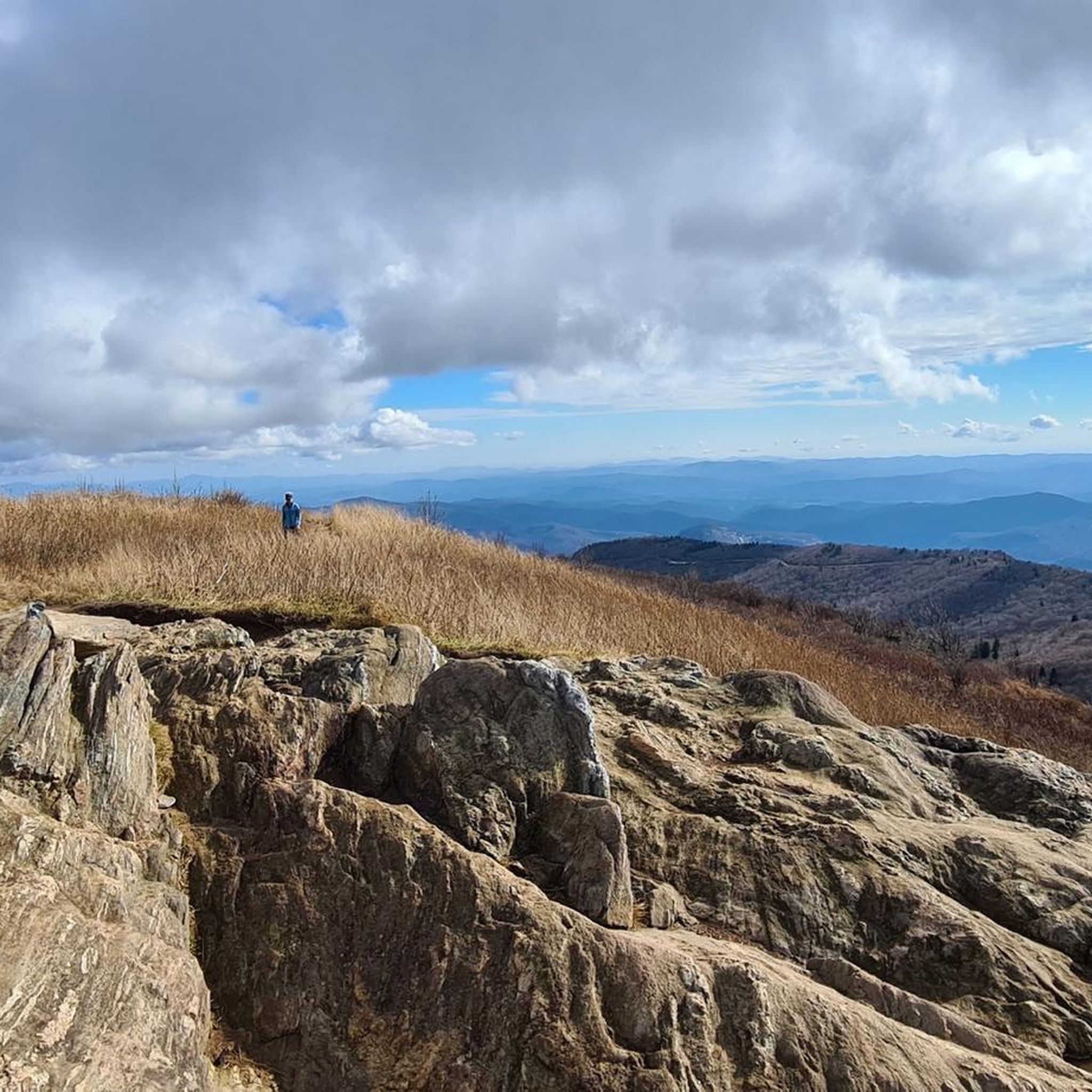
Slate Rock gets its name from the viewing area, which is situated on a large, smooth rock face. It is an overlook on the Pilot Cove Loop trail. The overlook views out into the Slate Rock Creek valley and at Pilot Rock.
0
0
Also known as High Falls, Billy Branch Falls is a waterfall on the South Mills River in Pisgah National Forest. The falls have a large pool at the bottom that is sometimes deep enough to swim in. The falls are a little ways off of the main South Mills River Trail, but navigation in the creekbed is straightforward.
0
0
Squirrel Gap Trail winds in and out of mountain gaps in the backcountry of Pisgah National Forest. The trail is one of the more remote trails in the area and was originally created to be recreational singletrack trail.
0
0
Pilot Rock is a rocky outcrop with open views to the south. There is rock climbing access in this area and a lot of spur trails. There are multiple outcrops with different vantage points, but use caution when exploring the rocky area.
0
0
Pink Beds Loop Trail is a beautiful trail loop in Pisgah National Forest. During the right time of year, you can see the blooming process of the Catawba Rhododendron happen right in front of your eyes. The loop isn't too hilly, and there are bridges at most water crossings.
0
0
Frequently Asked Questions
How many mountain bike trails are available in Shining Rock Wilderness?
There are 19 mountain bike trails in Shining Rock Wilderness, offering a range of difficulties from easy to difficult. These routes are highly rated by the komoot community, with an average score of 5.0 stars.
Are there easy mountain bike trails suitable for beginners in Shining Rock Wilderness?
Yes, Shining Rock Wilderness offers 2 easy mountain bike trails. These routes are generally shorter with less elevation gain, making them suitable for beginners or those looking for a relaxed ride.
What are some challenging mountain bike routes for experienced riders?
Experienced riders looking for a challenge can explore routes like the Pink Beds Loop Trail – View from Pilot Rock loop from South Fork Mills River, which is 31.9 miles (51.4 km) long with significant elevation changes. Another demanding option is the Pisgah Ranger Station – Andy Cove Nature Trail loop from Davidson River, covering 38.9 miles (62.7 km) through natural forest landscapes.
Are there any loop mountain bike trails in Shining Rock Wilderness?
Yes, many trails in Shining Rock Wilderness are loops, providing a varied riding experience without retracing your path. A popular moderate loop is Clawhammer, Buckwheat Knob and Bennet Gap Loop, which is 17.8 miles (28.6 km) long. For a shorter option, consider the Cove Creek and Daniel Ridge Loop at 9.1 miles (14.7 km).
What is the best time of year to mountain bike in Shining Rock Wilderness?
The best time to mountain bike in Shining Rock Wilderness is typically from spring through fall. During these seasons, the weather is generally milder, and trail conditions are more favorable. Summers can be warm, but the forested trails offer good shade. Always check local weather forecasts and trail conditions before heading out, especially after heavy rain, as trails can become muddy.
What kind of terrain can I expect on mountain bike trails in Shining Rock Wilderness?
The terrain in Shining Rock Wilderness is characterized by forested slopes, rugged natural paths, and varied elevations. You can expect a mix of climbs and descents, often on natural surfaces with minimal development, providing a true wilderness mountain biking experience.
Are there any scenic viewpoints or attractions along the mountain bike trails?
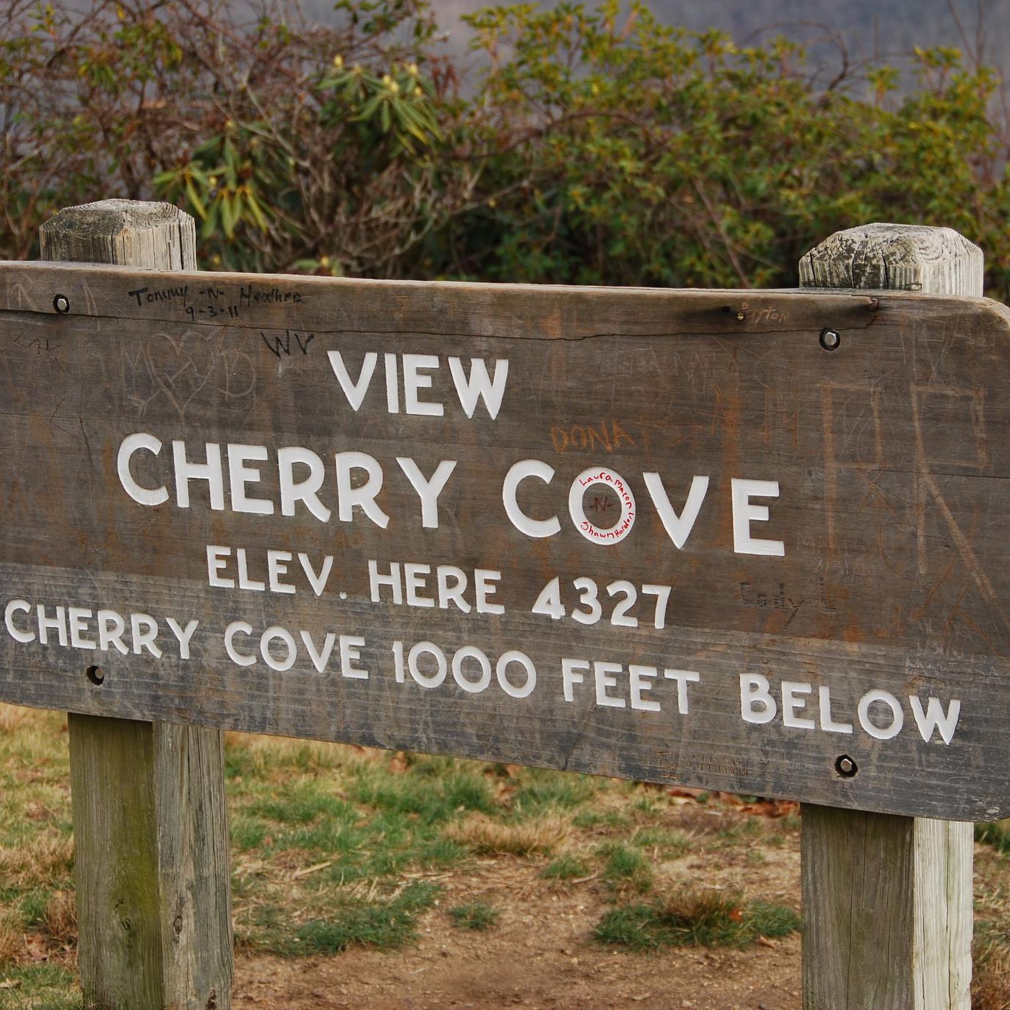
While the trails themselves offer natural beauty, you can find notable viewpoints and attractions nearby. Consider exploring Cherry Cove Viewpoint for panoramic vistas. For those interested in the region's peaks, Shining Rock Summit and Cold Mountain are significant landmarks in the area.
What do other mountain bikers enjoy most about the trails in Shining Rock Wilderness?
The area is highly rated by the komoot community, with an average score of 5.0 stars from 7 reviews. Reviewers often praise the challenging yet rewarding environment, the extensive riding through varied terrain, and the natural, undeveloped character of the wilderness trails.
Are there any less crowded mountain bike trails in Shining Rock Wilderness?
Given its wilderness designation, many trails in Shining Rock Wilderness offer a sense of solitude. To find less crowded options, consider exploring some of the more difficult or longer routes, which naturally attract fewer riders. Early mornings or weekdays are also good times to experience quieter trails.
What should I wear for mountain biking in Shining Rock Wilderness?
Given the varied terrain and potential for remote sections, it's advisable to wear appropriate mountain biking gear, including a helmet, gloves, and padded shorts. Layered clothing is recommended to adapt to changing weather conditions, and sturdy, closed-toe shoes are essential. Always carry enough water, snacks, and basic repair tools.
Are there any specific permits required for mountain biking in Shining Rock Wilderness?
Shining Rock Wilderness is a protected area. While specific permits for mountain biking are not typically required for day use on designated trails, it's always best to check with the local U.S. Forest Service office for the most current regulations before your visit, especially if planning an overnight trip or using specific access points.
Where can I find parking for mountain biking in Shining Rock Wilderness?
Parking availability varies depending on the specific trailhead you plan to access. Many trailheads within or bordering the wilderness area offer designated parking lots. It's recommended to research the starting point of your chosen route in advance to identify the nearest and most convenient parking options.
Most popular routes in Shining Rock Wilderness
Most popular attractions in Shining Rock Wilderness

Get inspired with the komoot mobile app


Explore more
Browse the best MTB trails in other regions.
