Wartberg ob der Aist
Wartberg ob der Aist
The 11 Most Amazing Peaks around Wartberg ob der Aist
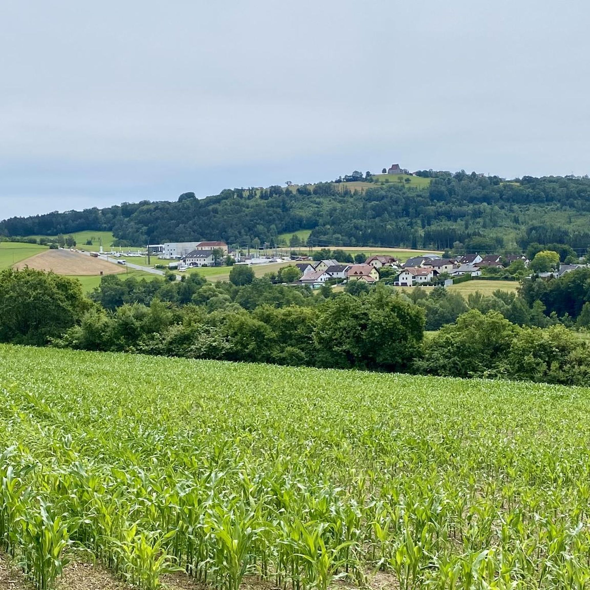
Best mountain peaks around Wartberg ob der Aist are characterized by gently rolling hills and elevated points within the Lower Mühlviertel region of Upper Austria. The area offers various elevated locations that provide panoramic views, creating a mountain-like experience. These natural features and landmarks are popular for hiking and offer expansive vistas across the picturesque Mühlviertel landscape. The municipality itself is situated at an elevation of approximately 476 meters above sea level.
Best mountain peaks around Wartberg ob der Aist
…Last updated: August 25, 2026
Pfenningberg Summit Cross
Highlight • Summit
Translated by Google •
Tip by

Weltstein
Highlight • Natural Monument
Translated by Google •
Tip by

Sign up now to discover places like this
Get recommendations on the best single tracks, peaks, & plenty of other exciting outdoor places.
Sign up for free
Three Beeches Cross
Highlight • Trail
Translated by Google •
Tip by

Ura Stoa Summit
Highlight • Summit
Translated by Google •
Tip by

Predigtstuhl Mouflon Enclosure
Highlight (Segment) • Structure
Translated by Google •
Tip by

Sign up for free to discover even more peaks around Wartberg ob der Aist.
Sign up for free
Already have an account?
Start today with a free account
Your next adventure awaits.
Login or Signup
Popular around Wartberg ob der Aist

Tips from the Community

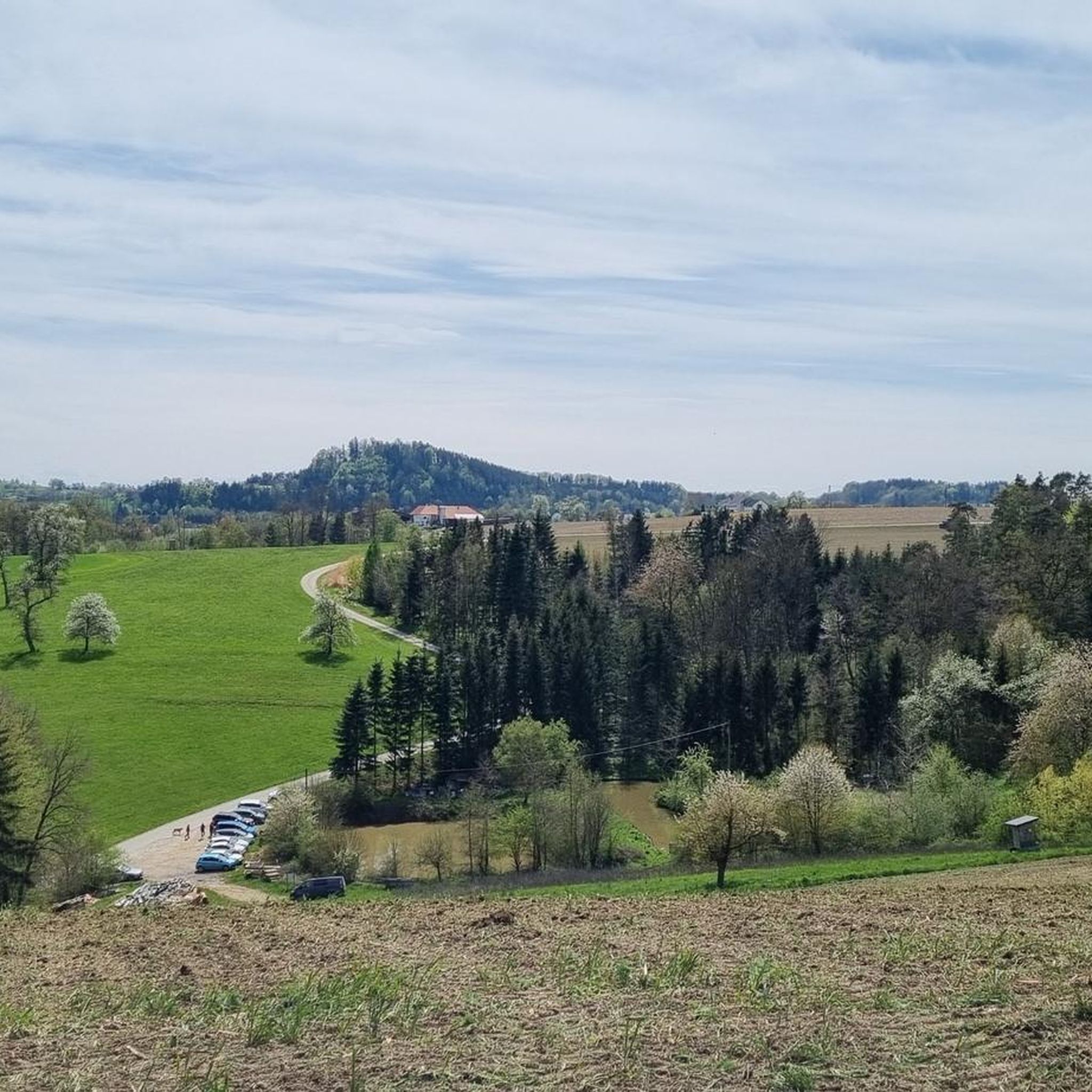
Wonderful circular hike away from the hustle and bustle in the hilly Mühlviertel landscape. The legend of the devil (information board at the summit cross) is really brilliant, a clever farmer😜
2
1

Such rock formations are more commonly found further north in the Mühlviertel region. A great destination for a day trip that is easy to reach or can be explored via a beautiful circular hiking trail: https://www.komoot.com/de-de/tour/2058392409
2
2

The mouflon herd inhabits the pulpit.
1
0
A Linz city summit for every season and every type of weather.
2
0

From the west, the access is technically tricky (trail between the trees and stones), from the east side it is much easier to ride. Bike tracks can be found right up to the top - so there are some very motivated / brave people there 😎
0
0
The hiking trail is also wonderful when coming up from Windegg. The last stretch to the rock formation is then a matter of personal judgement.
0
0
Meanwhile, the easier Dachstrail towards Daxleitner starts here - only the last part is tricky due to loose stones in the ditch.
2
1

Summit tour with beautiful views and chapel.
1
0
Frequently Asked Questions
What kind of 'mountain peaks' can I expect to find around Wartberg ob der Aist?
The region around Wartberg ob der Aist is characterized by gently rolling hills rather than towering mountains. However, you'll find numerous elevated points that offer extensive panoramic views, providing a 'mountain-like' experience across the picturesque Mühlviertel landscape. These include natural monuments and historic sites.
Which elevated points offer the best panoramic views in the Wartberg ob der Aist area?
For breathtaking views, consider visiting Pfenningberg Summit Cross, which offers a clear view over Linz on good days. The Ura Stoa Summit also provides very wide views. Additionally, the historic Wenzelskirche and Kalvarienberg (Calvary Hill) offer superb vistas over the rolling hills, the Danube valley, and even distant Alps on clear days.
Are there any family-friendly elevated points or trails around Wartberg ob der Aist?
Yes, several spots are suitable for families. The Weltstein offers a wonderful circular hike away from the hustle and bustle. The Three Beeches Cross on Pfenningberg is also considered family-friendly and serves as a nice resting place. For a unique experience, the Predigtstuhl Mouflon Enclosure allows for observing mouflon year-round.
What historical or cultural landmarks can I find on these elevated points?
The region is rich in history. The Wenzelskirche, first documented in 1208, stands on an impressive vantage point and has served as a memorial site. Kalvarienberg features a chapel built in 1745 and a memorial dedicated to the victims of the 'Mühlviertler Hasenjagd'. The Ura Stoa Summit is a small granite stone summit with engraved runes, possibly pointing to an old Celtic place of worship.
What are some popular hiking trails associated with these elevated points?
The Weltstein is known for a wonderful circular hike. The Wenzelskirche is accessible via hiking trails, including the Wartberg Loop Trail. The Kalvarienberg also has a Way of the Cross leading up to its chapel. Many elevated points are integrated into the numerous hiking trails that crisscross the Mühlviertel landscape.
What outdoor activities, besides hiking, can I do near the elevated points of Wartberg ob der Aist?
The area around Wartberg ob der Aist is excellent for various outdoor activities. You can explore numerous cycling routes, including difficult ones like the 'Mostschänke Grüner – View of Kefermarkt loop from Schloß Haus'. For mountain biking enthusiasts, there are trails such as the 'Dingdorfer Stub'n Inn and Snack Station – MTB Trail Along the Feldaist loop from Pregarten'. Find more options in our guides for Cycling around Wartberg ob der Aist, Gravel biking around Wartberg ob der Aist, and MTB Trails around Wartberg ob der Aist.
What is the best time of year to visit the elevated points around Wartberg ob der Aist?
The region's rolling hills and viewpoints are enjoyable throughout the year. Spring and autumn offer pleasant temperatures and vibrant natural colors, ideal for hiking. Summer provides lush green landscapes, while winter can transform the scenery into a serene, snow-covered wonderland, especially on clear days when distant Alps are visible from spots like Kalvarienberg.
What natural features are prominent on the elevated points in the Mühlviertel region?
You'll encounter diverse natural features, including dense forests, unique granite stone formations like those at Ura Stoa Summit with its 'Wollsacksteinen' (wool sack stones), and the expansive views over the rolling hills and river valleys. The Weltstein is a natural monument itself, highlighting the geological interest of the area.
Are there any challenging routes for experienced hikers among these elevated points?
While many trails are moderate, some routes can offer a good workout. For instance, the Ura Stoa Summit involves a steep climb. The overall terrain of the Mühlviertel, with its continuous ups and downs, can provide a challenging experience for those seeking more strenuous hikes.
What do visitors enjoy most about the elevated points around Wartberg ob der Aist?
Visitors frequently praise the stunning panoramic views, especially from locations like Pfenningberg Summit Cross and Kalvarienberg. The peaceful atmosphere, the opportunity for wonderful circular hikes, and the historical significance of sites like the Wenzelskirche and Ura Stoa Summit are also highly appreciated. Many find the varied hikes and the chance to observe wildlife, such as mouflon at Predigtstuhl, to be highlights.
How accessible are these elevated points by public transport?
While specific public transport details for each individual elevated point might vary, Wartberg ob der Aist itself is connected to regional public transport networks. For detailed planning, it's advisable to check local bus schedules or consider combining public transport with shorter walks or cycling to reach trailheads.
Most popular routes around Wartberg ob der Aist
Most popular attractions around Wartberg ob der Aist

Get inspired with the komoot mobile app


Explore more
See even more amazing summits around Wartberg ob der Aist with these guides:
