The 4 Most Amazing Peaks around Zeillern
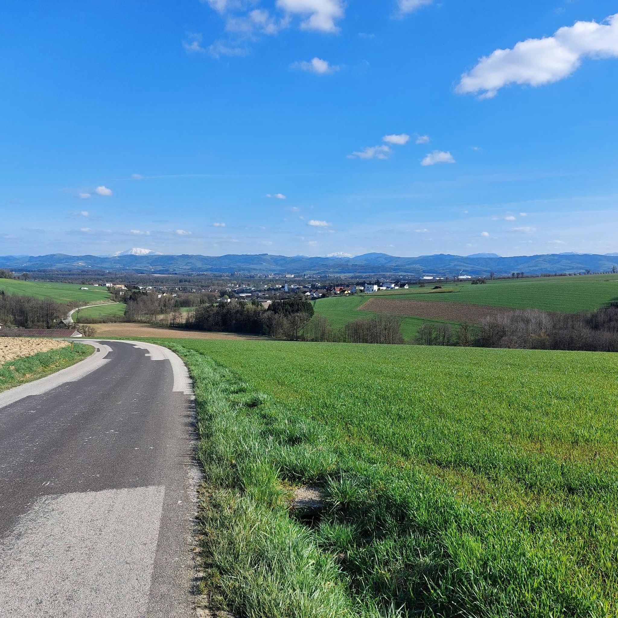
Best mountain peaks around Zeillern are characterized by a charming, hilly landscape rather than prominent towering mountains. The region features moderate elevations, typically reaching around 380 to 400 meters above sea level, offering a gentle topography. This landscape is ideal for recreational activities, providing scenic hiking trails Zeillern Austria and views of the surrounding Mostviertel countryside. Visitors can explore well-maintained paths that connect natural beauty with local landmarks.
Best mountain peaks around Zeillern
- The most popular mountain peaks is Peace…
Last updated: July 1, 2026
Peace Cross on Gipfelstein
Highlight • Monument
Translated by Google •
Tip by

Brandstetterkogelhütte (Viktoria Adelheid refuge)
Highlight • Mountain Hut
Translated by Google •
Tip by

Sign up now to discover places like this
Get recommendations on the best single tracks, peaks, & plenty of other exciting outdoor places.
Sign up for free
View from Brandstetterkogel
Highlight • Viewpoint
Translated by Google •
Tip by

Burgstall 355 m
Highlight • Summit
Translated by Google •
Tip by

Start today with a free account
Your next adventure awaits.
Login or Signup
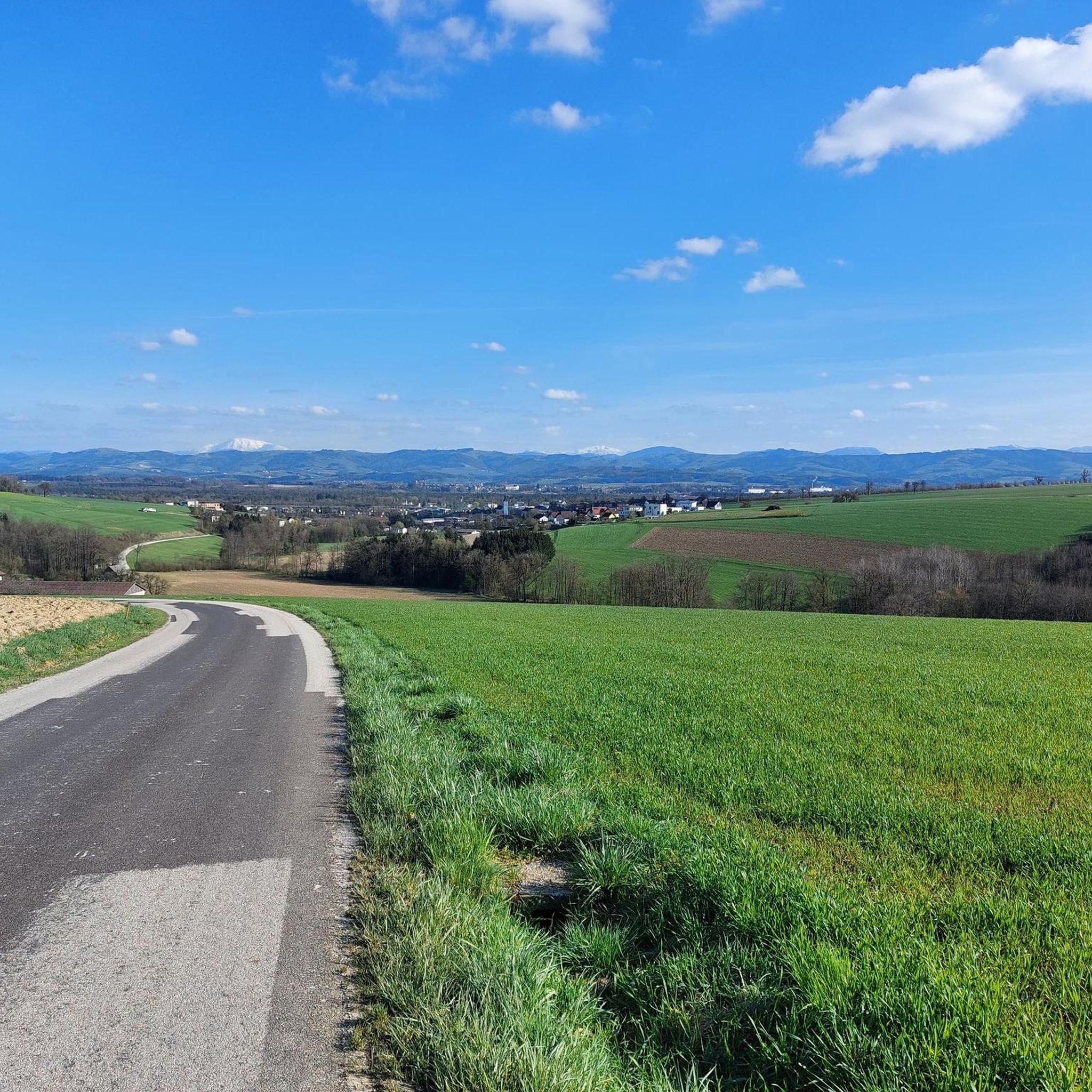
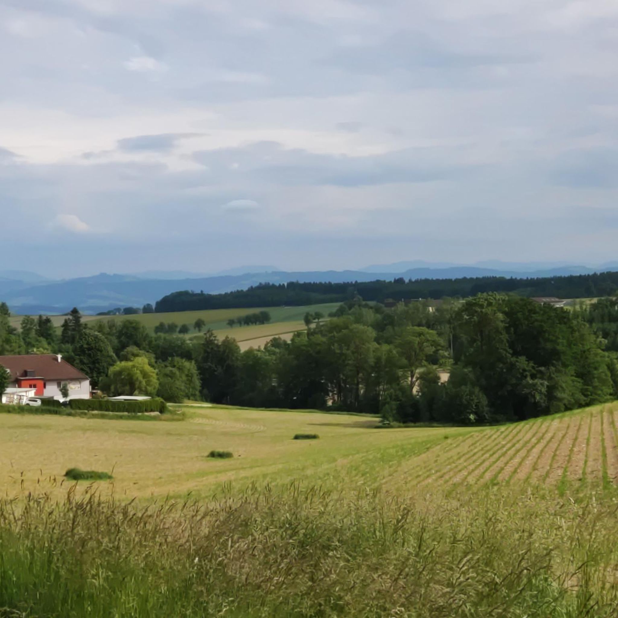
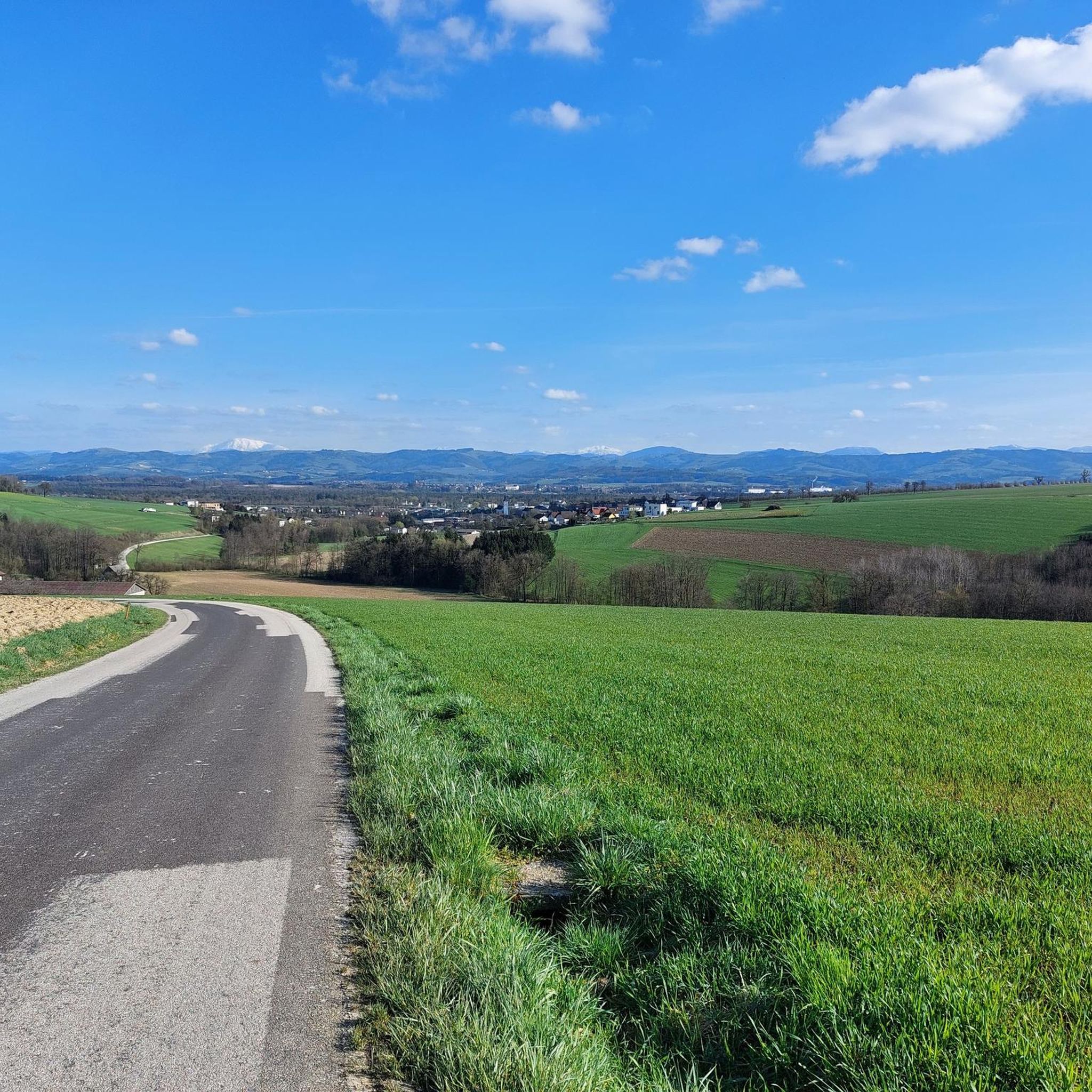
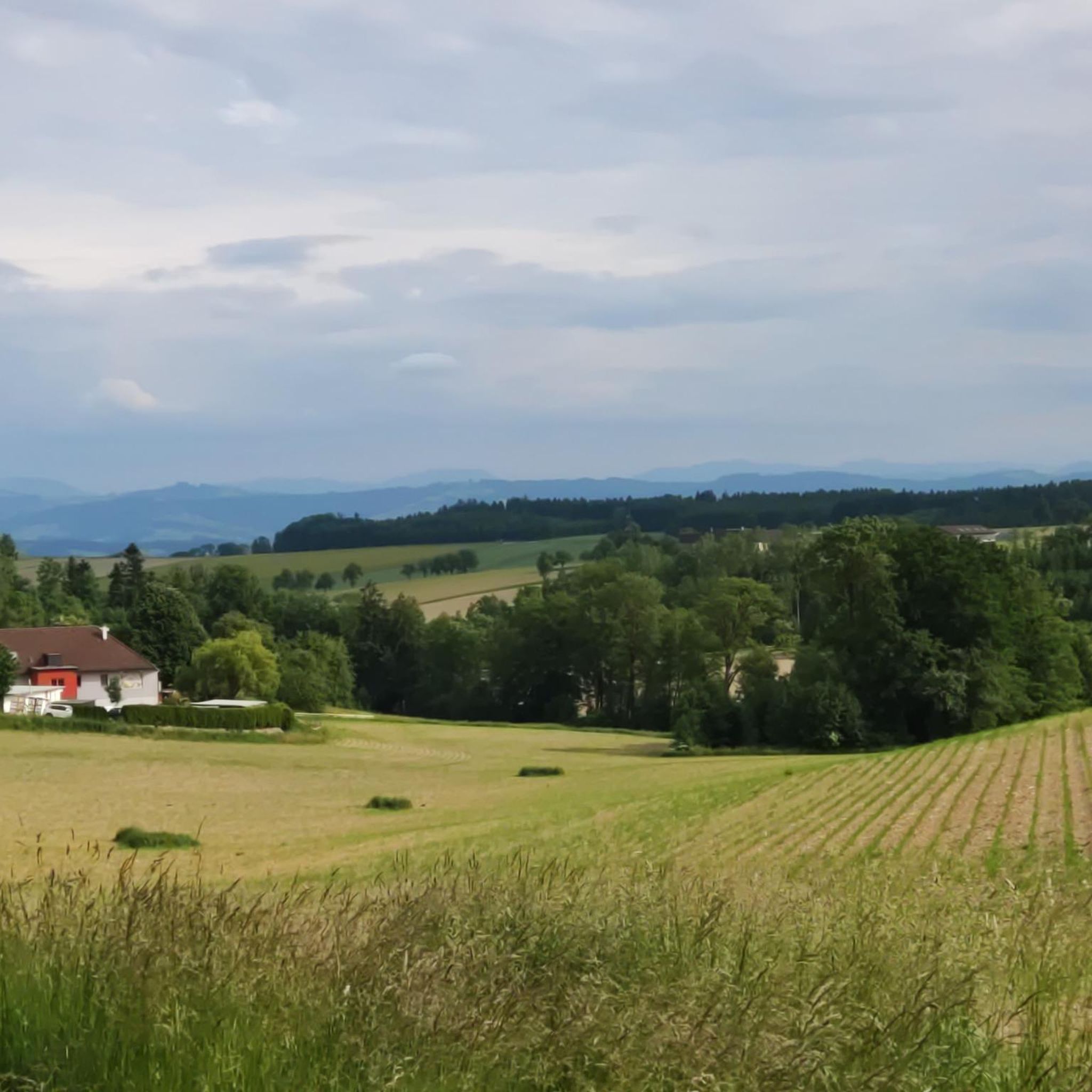

Tips from the Community


The summit is accessible via faint trails. Shortly before, you have a fantastic view of Klam Castle.
0
0

Great view of Grein.
1
0

Managed refuge with many delicacies at reasonable prices, great view of Grein from the terrace!
1
0

Nice hut with good food, the location in the forest makes even hot days bearable.
5
0
A wonderful vantage point and at the same time a rewarding summit.
5
0
The cross is a little off the path, but you can't miss it on the ascent to the summit stone.
5
0

A cozy hut with a very rich menu that is open all year round with a day off on Tuesdays.
2
1
Frequently Asked Questions
What kind of 'mountain peaks' can I expect to find around Zeillern?
Zeillern is characterized by a charming, hilly landscape rather than towering mountain peaks. The highest elevations typically reach around 380 to 400 meters above sea level, offering a gentle topography ideal for recreational activities. You'll find accessible summits on hills and scenic viewpoints rather than challenging alpine climbs.
What are some of the most popular viewpoints or elevated spots near Zeillern?
One of the most popular spots is the Peace Cross on Gipfelstein, which features a mighty cross and offers beautiful views of the Danube, Grein, and the Mühlviertel. Another highly regarded location is the View from Brandstetterkogel, providing fantastic panoramic vistas from the highest point in that area.
Are there any places to eat or rest at these elevated locations?
Yes, the Brandstetterkogelhütte (Viktoria Adelheid refuge) serves as a shelter and restaurant. It is easily accessible, usually open all year round, and provides good food in a pleasant forest setting.
What kind of hiking trails are available around Zeillern's hills?
Zeillern offers well-maintained hiking and walking paths suitable for various fitness levels, with moderate elevation changes. Notable trails include the 7.2 km circular 'Mostwanderweg' with informative display boards, and the 'Inspirationsweg,' a themed path featuring artistic interpretations and reflective texts. Many routes offer scenic views of the surrounding Mostviertel countryside.
Are the trails and elevated spots around Zeillern suitable for families?
Yes, many of the paths around Zeillern are easily accessible and suitable for all skill levels, including families. The gentle topography and minimal elevation gain on some routes make them perfect for a relaxed outdoor experience. The Brandstetterkogelhütte is also considered family-friendly.
What cultural or historical landmarks can I see while exploring the area?
The trails around Zeillern often connect natural beauty with local landmarks. For instance, some loops incorporate historical sites like Schloss Zeillern (Zeillern Castle) and the local parish church, offering a blend of nature and culture. From Burgstall 355 m, you can get a fantastic view of Klam Castle.
What is the best time of year to visit the elevated spots around Zeillern?
The Peace Cross on Gipfelstein is especially beautiful in spring and autumn, due to the beech leaves and clear views. Generally, spring and autumn offer pleasant temperatures and vibrant scenery for exploring the region's trails and viewpoints.
What do visitors enjoy most about the elevated areas around Zeillern?
Visitors particularly appreciate the beautiful views, the accessibility of the trails, and the opportunity for easy hikes. The combination of natural scenery with cultural elements like the Peace Cross and local castles is also a highlight. The Brandstetterkogelhütte is praised for its good food and pleasant forest location.
Are there any specific running trails near Zeillern?
Yes, there are several running trails around Zeillern. You can find routes like the 'Heidwald loop from Katastralgemeinde Öhling' or the 'Running loop from Zeillern', which are typically of moderate difficulty. For more options, explore the Running Trails around Zeillern guide.
Can I find mountain biking trails in the Zeillern area?
Yes, the region offers mountain biking opportunities. Routes such as the 'Danube crossing Grein – Danube Bridge Near Grein loop from Stocka' or the 'View from Bärnhof – View of Burg Klam loop from Schloss Wallsee' are available, generally rated as moderate. For a comprehensive list, check out the MTB Trails around Zeillern guide.
Are there easy hiking routes available directly from Zeillern?
Absolutely. You can find easy hiking routes such as the 'Zeillern Castle – Parish Church of Zeillern loop from Zeillern' or the 'Fischaufstiesschnecke loop from Zeillern'. These routes are designed for leisurely walks and are suitable for most fitness levels. More details can be found in the Hiking around Zeillern guide.
What is the general elevation and difficulty of hiking around Zeillern?
The local hiking trails around Zeillern feature gentle elevations, with the highest points reaching approximately 380 to 400 meters above sea level. Most trails are considered easy to moderate, making them accessible for a wide range of visitors, including families and casual walkers.
Most popular routes around Zeillern
Most popular attractions around Zeillern

Get inspired with the komoot mobile app


Explore more
See even more amazing summits around Zeillern with these guides:
