The best walks and hikes around Vilar De Mouros
4.5
(641)
3,718
hikers
123
hikes
Hiking around Vilar De Mouros offers a diverse landscape characterized by the winding Coura River and its lush banks, alongside the broader Minho River region. The terrain features a mix of shaded paths, green hills, and varied tree cover, providing a natural environment for outdoor activities. Hikers can explore areas with significant waterways and historical elements, including the medieval bridge of Vilar de Mouros. The region's proximity to the Minho River also offers views towards the natural border with Spain.
…Last updated: July 17, 2026
4.4
(30)
193
hikers
24.6km
06:45
390m
390m
Hard hike. Very good fitness required. Easily-accessible paths. Suitable for all skill levels.
4.7
(33)
160
hikers
23.7km
06:22
290m
290m
Hard hike. Very good fitness required. Easily-accessible paths. Suitable for all skill levels.

Sign up for free
4.7
(7)
30
hikers
11.0km
03:34
440m
440m
Moderate hike. Good fitness required. Mostly accessible paths. Sure-footedness required.
4.0
(2)
48
hikers
Easy hike. Great for any fitness level. Easily-accessible paths. Suitable for all skill levels.
5.0
(6)
38
hikers
Hard hike. Very good fitness required. Easily-accessible paths. Suitable for all skill levels.
Get access to more routes and recommendations from other explorers.
Sign up for free
Already have an account?
Our route recommendations are based on thousands of hikes, rides, and runs completed by other people on komoot.
Start today with a free account
Your next adventure awaits.
Login or Signup

Tips from the Community

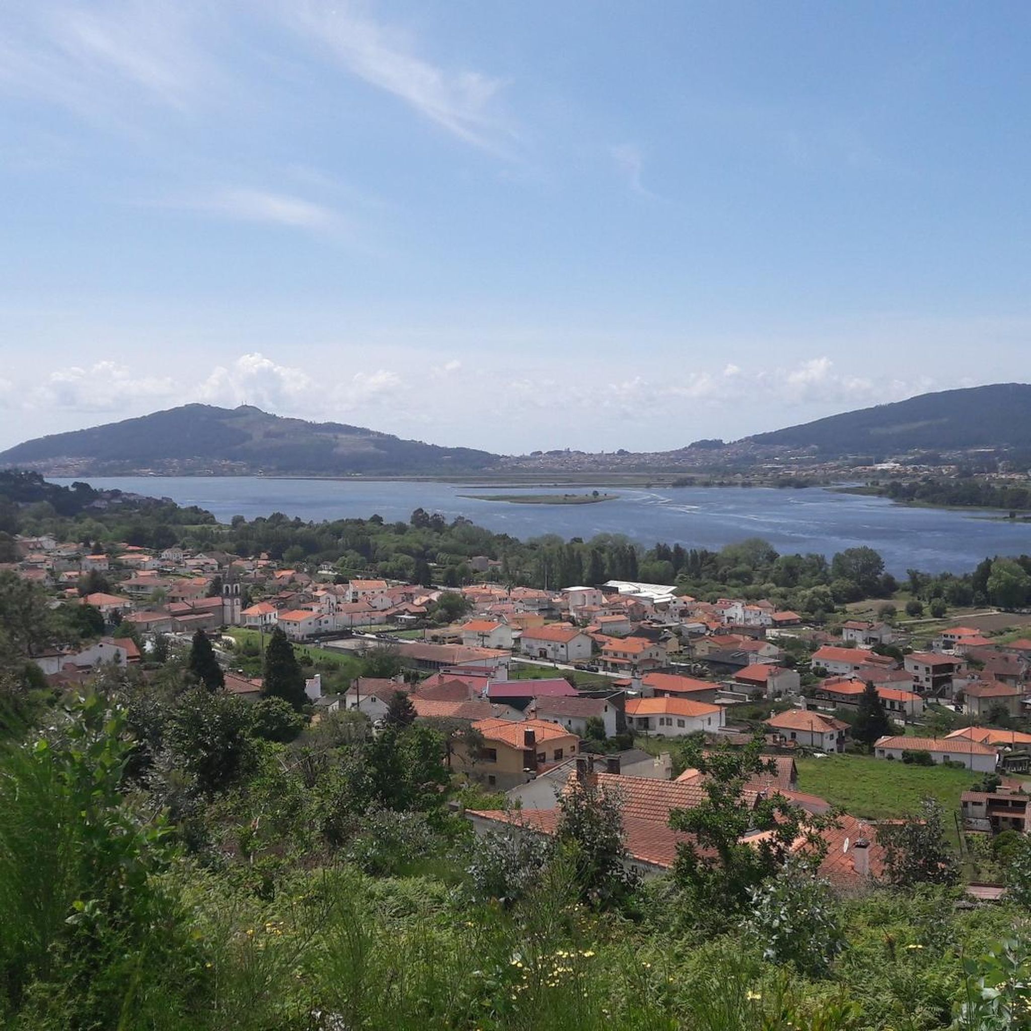
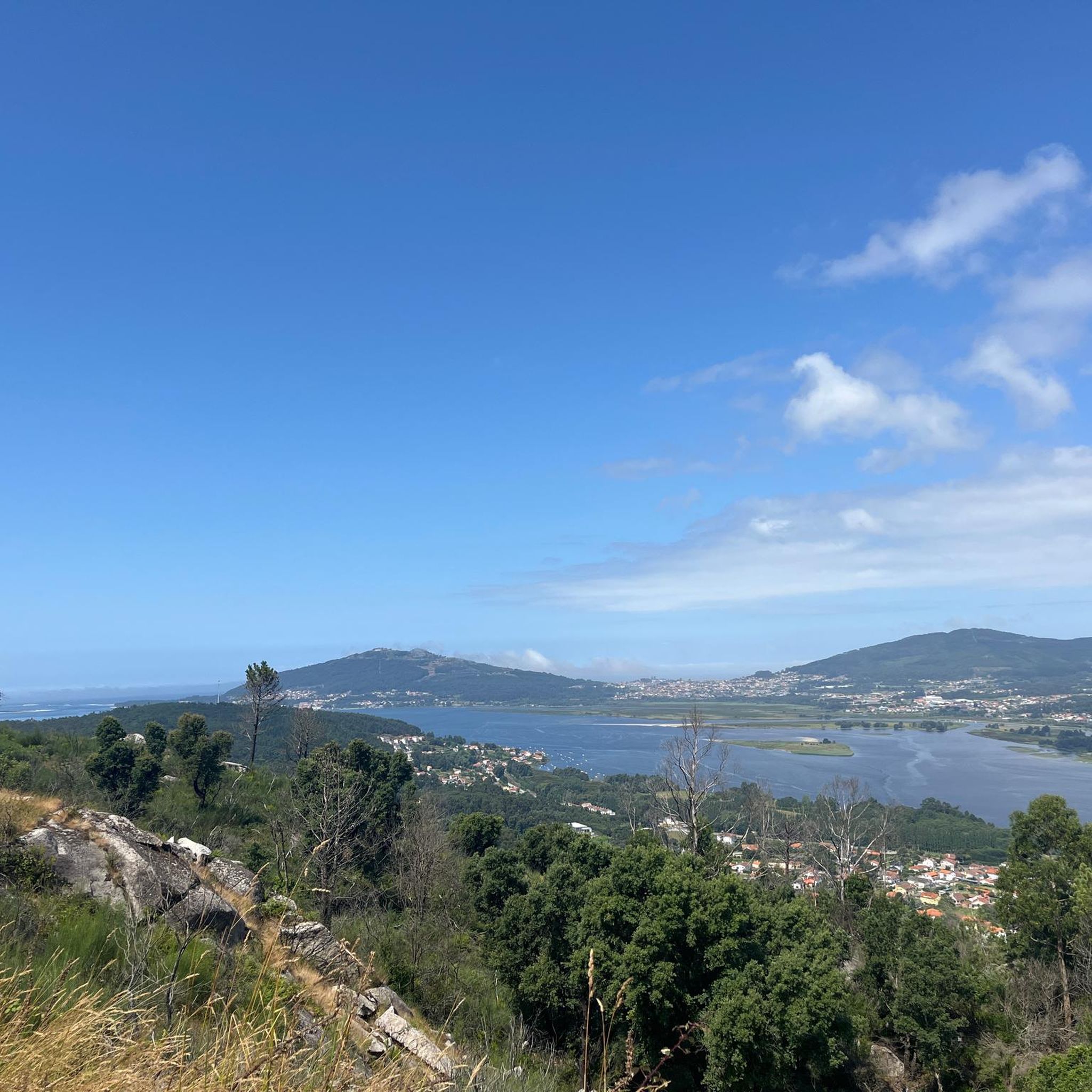
View of Monte Santa Trega with the fort located in front of it at the river mouth.
0
0
Chapel of Saint Isidore
0
0

The Portuguese Coastal Way Vila Praia de Âncora is one of the important stops on the coastal route that connects Porto Cathedral to Santiago de Compostela Cathedral. The route is known for its beautiful coastal landscapes and good signage with yellow arrows and scallop shells.
1
0
Location and Meaning Location: The sculpture is situated on a point along the Portuguese Coastal Way, being a highlight or point of interest (POI) listed in trail guides and apps like Komoot. The exact location is near Vila Praia de Âncora Beach. Symbolism: The sculpture, along with a metal sign with the silhouette of a pilgrim and the inscription "Buen Camino" (Good Way), symbolizes the journey, perseverance, and faith that move pilgrims towards Santiago de Compostela. It is a popular spot for photos and reflection during the walk.
1
0
The Good Way Pilgrim Sculpture is a landmark and monument located in Vila Praia de Âncora, Portugal, along the Portuguese Coastal Way to Santiago de Compostela. The sculpture is part of a broader cultural project to promote the ancient route and serves as a point of reference and highlight for pilgrims passing through the region.
1
0

Square where you can rest and have coffee.
1
0

Very nice, good for walking and cycling
2
2
Frequently Asked Questions
How many hiking trails are available around Vilar de Mouros?
There are over 120 hiking trails around Vilar de Mouros, catering to various skill levels. This includes 61 easy routes, 54 moderate trails, and 13 more challenging options for experienced hikers.
What kind of terrain can I expect on hikes in Vilar de Mouros?
Hikes in Vilar de Mouros feature a diverse landscape, primarily defined by the winding Coura River and its lush banks. You'll find shaded paths, green hills, and varied tree cover, including oak, chestnut, and pine forests. Some routes also offer views towards the Minho River, which forms the natural border with Spain.
Are there any family-friendly hiking options in Vilar de Mouros?
Yes, Vilar de Mouros offers many easy hikes and walks suitable for families. The trails along the Coura River are generally gentle and provide a pleasant experience for all ages, with fresh shadows and the soothing sound of the river. Look for routes categorized as 'easy' on komoot, as there are over 60 such options available.
Can I bring my dog on the hiking trails in Vilar de Mouros?
Many trails in the Vilar de Mouros area are dog-friendly, allowing you to enjoy the natural beauty with your canine companion. It's always recommended to keep your dog on a leash, especially in areas with wildlife or near other hikers, and to check specific trail regulations if available.
Are there any circular hiking routes around Vilar de Mouros?
Yes, there are several circular routes available. For example, the Pedra Alçada Summit (742 m) – Chapel of Saint John of Arga loop from Arga de São João offers a moderate 11.0 km hike through mountainous terrain. Another option is the easy Caminha Clock Tower – Historic Center of Caminha loop from Caminha, which is 6.7 km long.
What natural features or landmarks can I see while hiking near Vilar de Mouros?
The region is rich in natural and historical features. Along the Coura River, you'll encounter diverse flora and fauna, including various bird species and lush vegetation. The iconic medieval bridge of Vilar de Mouros is a notable historical landmark. You can also find viewpoints like View over the mouth of the Minho River and summits such as Pedra Alçada Summit (742 m).
Are there any waterfalls in the Vilar de Mouros hiking area?
Yes, the region offers natural attractions including waterfalls. You can find the Pincho Waterfall, which is a popular highlight for hikers seeking scenic water features.
What do other hikers enjoy most about hiking in Vilar de Mouros?
The hiking trails around Vilar de Mouros are highly rated by the komoot community, with an average score of 4.5 stars from over 600 reviews. Hikers often praise the serene natural environment, the beauty of the Coura River banks, and the variety of routes available for different fitness levels.
Is public transport available to reach hiking trailheads in Vilar de Mouros?
While Vilar de Mouros is a charming village, public transport options directly to specific remote trailheads might be limited. It's advisable to check local bus schedules or consider driving to the starting points of your chosen hikes. The village itself is accessible, and some trails may start directly from there or nearby towns like Caminha.
Where can I find parking for hiking trails in Vilar de Mouros?
Parking is generally available in Vilar de Mouros village and in nearby towns like Caminha, which serve as starting points for many routes. For trails that begin in more rural areas, look for designated parking spots or suitable roadside areas, always being mindful of local regulations and private property.
What is the best time of year to go hiking in Vilar de Mouros?
The region's 'exuberant nature' with 'fresh shadows' and 'intense tree cover' suggests that hiking is pleasant during most seasons. Spring and autumn offer mild temperatures and vibrant landscapes. Summer can be warm, but the shaded paths along the Coura River provide relief. Winter hikes are also possible, though some trails might be wetter.
Are there any challenging hikes for experienced trekkers?
Yes, Vilar de Mouros offers several challenging routes. For instance, the Lanhezes Church – Chapel of Saint Sebastian loop from Esqueiro is a difficult 24.7 km trail that takes nearly 7 hours to complete. Another demanding option is the V. P. Âncora Sign – Caminha Town Centre loop from Vilarelho, covering 28.7 km.
Most popular attractions around Vilar De Mouros

Get inspired with the komoot mobile app


Explore more
Browse the best Hikes in other regions.
