The best walks and hikes around Beselga
4.4
(133)
607
hikers
28
hikes
Hiking around Beselga, Portugal, offers a variety of trails through its diverse landscape. The region is characterized by undulating terrain, often featuring forests and rural paths connecting small villages. Elevation changes are present on many routes, providing varied physical challenges.
Best hiking trails around Beselga
- The most popular hiking route is Central Portuguese Way of St. James: Tomar to Alvaiázere, a 19.9 miles (32.1 km) trail that takes 8 hours 44 minutes to complete. This challenging segment follows a…
Last updated: July 8, 2026
4.4
(49)
281
hikers
32.1km
08:44
550m
300m
Hard hike. Very good fitness required. Easily-accessible paths. Suitable for all skill levels.
4.6
(11)
47
hikers
32.2km
08:54
640m
360m
Hard hike. Very good fitness required. Easily-accessible paths. Suitable for all skill levels.

Sign up for free
4.6
(5)
10
hikers
10.5km
02:51
150m
150m
Moderate hike. Good fitness required. Easily-accessible paths. Suitable for all skill levels.
3.45km
01:00
90m
90m
Easy hike. Great for any fitness level. Easily-accessible paths. Suitable for all skill levels.
3.7
(7)
20
hikers
10.1km
02:42
110m
110m
Moderate hike. Good fitness required. Easily-accessible paths. Suitable for all skill levels.
Get access to more routes and recommendations from other explorers.
Sign up for free
Already have an account?
Our route recommendations are based on thousands of hikes, rides, and runs completed by other people on komoot.
Start today with a free account
Your next adventure awaits.
Login or Signup

Tips from the Community

The Sanctuary of Fatima, in central Portugal, is one of the most important pilgrimage sites in the world. Basilica of Our Lady of the Rosary Neo-Baroque style, with a 65-meter tower crowned by a large cross. It houses the tombs of the three shepherd children: Lucia, Francisco, and Jacinta. Chapel of the Apparitions Marks the exact spot where the Virgin Mary appeared in 1917. An intimate space, frequently visited by pilgrims to pray and light candles. Basilica of the Holy Trinity Inaugurated in 2007, with modern architecture and a capacity for more than 8,000 people. It contrasts with the classical style of the Basilica of the Rosary. Sanctuary Esplanade Large square where Masses and processions are held, especially on May 13 and October 13.
7
0

Detailed plans of the complex, including the identification of the individual parts and monasteries, can be found here: https://campanha.cmjornal.pt/portugal-monumental/ https://de.wikipedia.org/wiki/Convento_de_Cristo#/media/Datei:TomarChurchPlanCC3-pt.jpg https://blogger.googleusercontent.com/img/b/R29vZ2xl/AVvXsEjONUon4tGroEfnLT311dfFBPy 7gkSdMIt7aDFXuB2X61MqnwjBYUVJwZs3nELeNox-cEindezimgkuppLnXY6-XxrO-2WJQ_62jz9Qme64FlLgng2leHtQJZ3iuys8kl6z1fh1M1Ns6SOV/s1600/05Tomar.jpg https://de.wikipedia.org/wiki/Convento_de_Cristo#/media/File:TomarChurchPlanCC3-pt.jpg
1
0
A rather old arched road and pedestrian bridge connecting the two banks of the Nabão River in the city of Tomar. It is said that the Romans first crossed the Nabão River on this site. It was rebuilt in the 16th century and widened in the 19th century, with the stone railings removed and replaced with metal ones. It was completely redesigned in the first half of the 20th century, with the railings renewed and widened, and the piers and buttresses stabilized. It makes a stunning photo opportunity, especially at dusk and from the nearby parks.
1
0
A hidden gem tucked away behind the waters of the Rio Nabão, adorned with beautiful azulejos tiles. The Santa Iria Monastery originated as a retreat for pious women in the heart of Tomar, on the banks of the Nabão River. In 1467, Dona Mécia Queiroz, the widow of Pero Vaz de Almeida, the estate manager, acquired the Santa Iria property from Prince Henry the Navigator and commissioned the construction of a house and chapel where she and her daughters could retreat. In 1523, at the request of one of the founder's daughters, the retreat was placed under the patronage of Saint Clare. In 1536, the chapel and retreat house were rebuilt and enlarged at the expense of Pedro Moniz da Silva, commander of the Knights Templar. This magnificent Renaissance-style structure, inspired by the Coimbra Renaissance school, dates from this period. The Church of Santa Iria has a rectangular floor plan and consists of the nave, the chancel, the sacristy, and the adjacent Chapel of the Valleys. The interior comprises a single nave with a coffered ceiling adorned with painted ornaments, and the walls are lined with diamond-shaped carpet tiles. On the Epistle side is the Chapel of the Valleys, commissioned in the mid-16th century by D. Miguel do Vale and originally dedicated to the Lord Jesus.
1
0

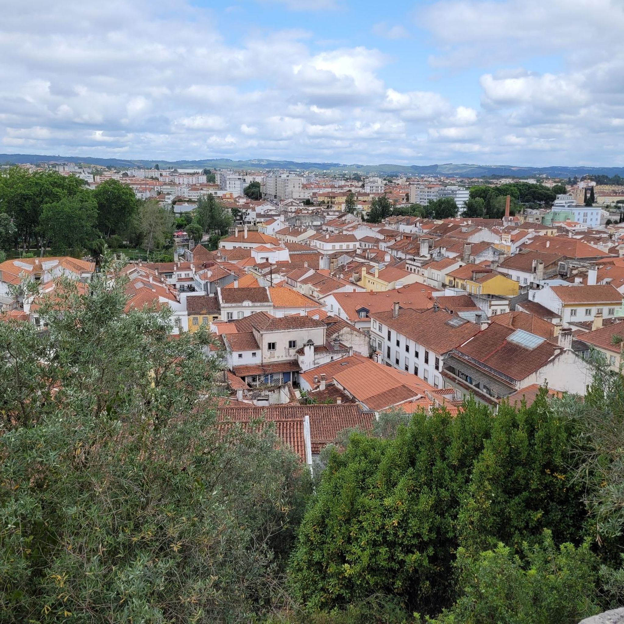
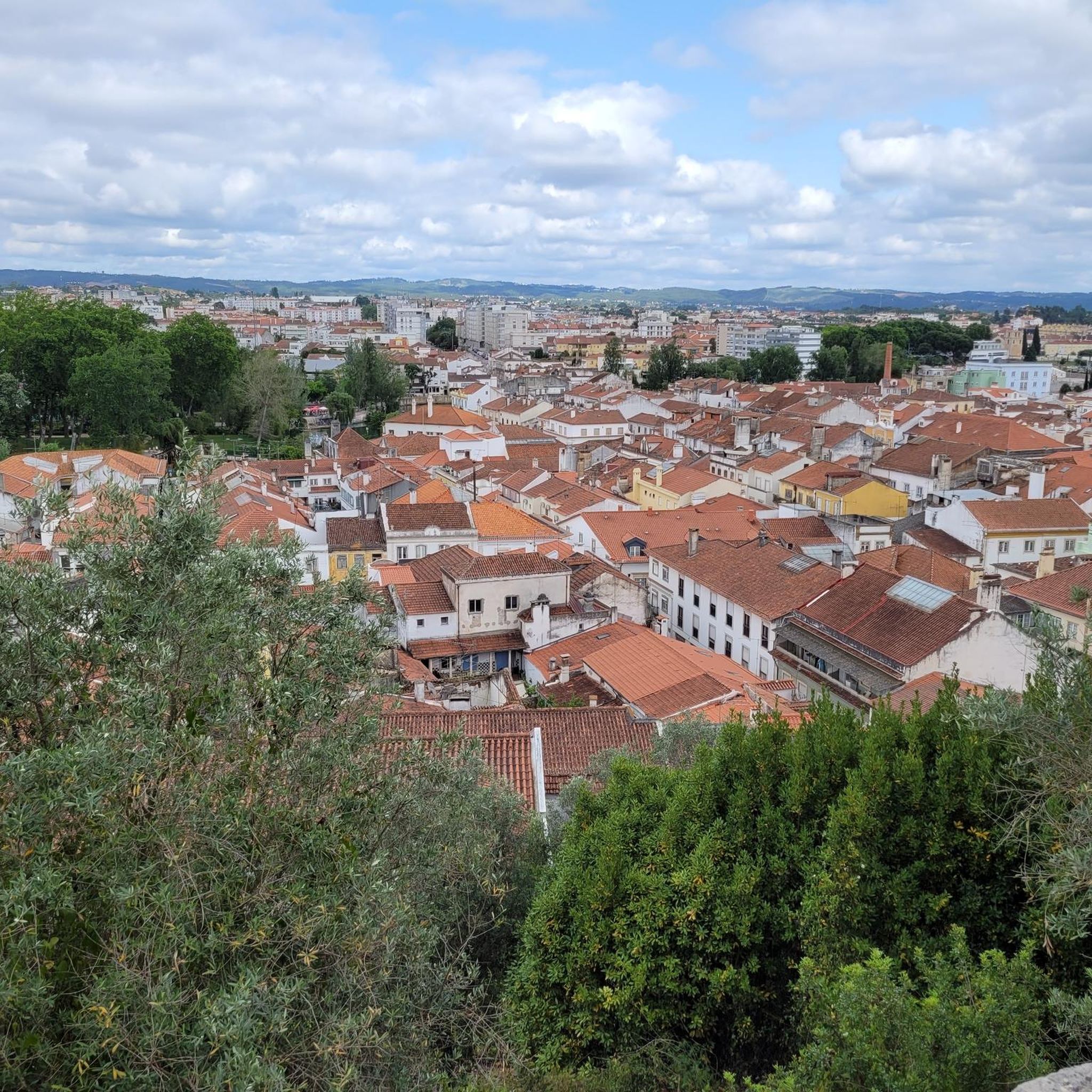
The city of Tomar was founded by the Knights Templar in the 12th century on land granted by Portugal’s first king. The order set up a convent on a hill and by the riverside plotted what would be the last Templar town in the world. The Convent of Christ is a World Heritage Site, with magnificent architecture perfected over more than 300 years. When the Order of Christ took over from the Knights Templat, Tomar was where many Portuguese voyages in the Age of Discovery were planned. And as the order’s governor, the world-changing explorer Henry the Navigator lived in Tomar and took charge of its expansion in the 15th century.
2
0
Construction started on it in 1593 by Italian architect Filippo Terzi and ended in 1613. The aqueduct is nearly 6 km long (3.7 miles) and for centuries remained the most important source of water to the monks who lived in the Convento de Cristo. Most tourists will actually be surprised to find such a huge structure in a small city like Tomar.
1
1


With its two elegant limestone arches, this 16th-century bridge holds even older memories: it was once part of an ancient Roman road that connected Tomar to Coimbra.
2
0
Frequently Asked Questions
How many hiking trails are available around Beselga?
There are nearly 30 hiking trails around Beselga, offering a diverse range of experiences. These include easy strolls, moderate paths, and more challenging long-distance routes.
Are there any easy or beginner-friendly hikes in Beselga?
Yes, Beselga offers 15 easy hiking routes suitable for beginners or those looking for a relaxed walk. An example is the Mata Nacional dos Sete Montes - circular route in Tomar, which is just over 3 km long and takes about an hour to complete.
What are the options for challenging hikes near Beselga?
For experienced hikers seeking a challenge, Beselga has two difficult routes. These include the Central Portuguese Way of St. James: Tomar to Alvaiázere, a 32.1 km pilgrimage segment, and the Fátima Eastern Way, another demanding 32.2 km trail with significant elevation gain.
Are there any circular walks available in the Beselga area?
Yes, you can find circular walks around Beselga. The Mata Nacional dos Sete Montes - circular route in Tomar is a great option, offering a pleasant loop through the forest.
What kind of natural attractions can I find along the trails?
The region boasts several natural attractions. You can explore the Mata Nacional dos Sete Montes forest, discover the vast Serras de Aire e Candeeiros Natural Park, or enjoy views from Cimo da Lagoa. For a refreshing stop, consider the Sobreirinho River Beach.
Are there historical landmarks or points of interest near the hiking routes?
Absolutely. Hikers can visit the impressive Convent of Christ and Castle of Tomar, explore the historic Republic Square and the Church of Saint John the Baptist in Tomar, or marvel at the ancient Aqueduto dos Pegões.
What do other hikers say about the trails in Beselga?
The trails in Beselga are highly regarded by the komoot community, with an average rating of 4.5 stars from over 100 reviews. Hikers often praise the varied rural landscapes, forested sections, and the well-maintained paths.
Is Beselga a good destination for family-friendly hikes?
Yes, with 15 easy routes, Beselga offers several options suitable for families. These trails typically feature gentler terrain and shorter distances, making them enjoyable for all ages.
Are there any trails that pass by wild swimming spots?
While specific wild swimming spots directly on trails are not detailed, the Sobreirinho River Beach is a nearby natural attraction that could offer a refreshing stop after a hike.
What is the best time of year to go hiking in Beselga?
Spring (April-May) and Autumn (September-October) are generally the best times for hiking in Beselga. The weather is milder, and the natural scenery is particularly vibrant, avoiding the intense heat of summer.
Are the hiking trails around Beselga well-marked?
Many trails, such as the Anunciada Trail (PR4), are marked, indicating clear paths through rural and forested areas. However, it's always recommended to carry a map or use a navigation app like komoot for the best experience.
What kind of terrain can I expect on Beselga's hiking trails?
The terrain around Beselga is characterized by undulating landscapes, rural paths, and forested sections. You can expect a mix of dirt tracks, gravel paths, and some paved sections, with varying elevation changes depending on the route's difficulty.
Most popular routes around Beselga
Most popular attractions around Beselga

Get inspired with the komoot mobile app


Explore more
Browse the best Hikes in other regions.
