The best walks and hikes around Outeiro Maior
4.7
(152)
1,056
hikers
16
hikes
Hiking around Outeiro Maior offers a variety of trails that explore the Portuguese landscape, characterized by its coastal features and riverine environments. The region includes paths along beaches and through areas with diverse vegetation. Elevation gains are generally low, making many routes accessible for different fitness levels. The terrain primarily consists of coastal paths and river-adjacent trails.
Best hiking trails around Outeiro Maior
- The most popular hiking route is Lavra Fishing Village – Vila Chã Beach loop from Santa Clara…
Last updated: July 9, 2026
4.7
(101)
418
hikers
27.5km
07:04
130m
130m
Hard hike. Very good fitness required. Easily-accessible paths. Suitable for all skill levels.
4.5
(8)
67
hikers
23.7km
06:06
110m
110m
Hard hike. Very good fitness required. Easily-accessible paths. Suitable for all skill levels.

Sign up for free
4.3
(4)
21
hikers
Moderate hike. Good fitness required. Easily-accessible paths. Suitable for all skill levels.
5.0
(1)
9
hikers
Moderate hike. Good fitness required. Easily-accessible paths. Suitable for all skill levels.
5.0
(1)
4
hikers
Moderate hike. Good fitness required. Easily-accessible paths. Suitable for all skill levels.
Get access to more routes and recommendations from other explorers.
Sign up for free
Already have an account?
Our route recommendations are based on thousands of hikes, rides, and runs completed by other people on komoot.
Start today with a free account
Your next adventure awaits.
Login or Signup

Tips from the Community

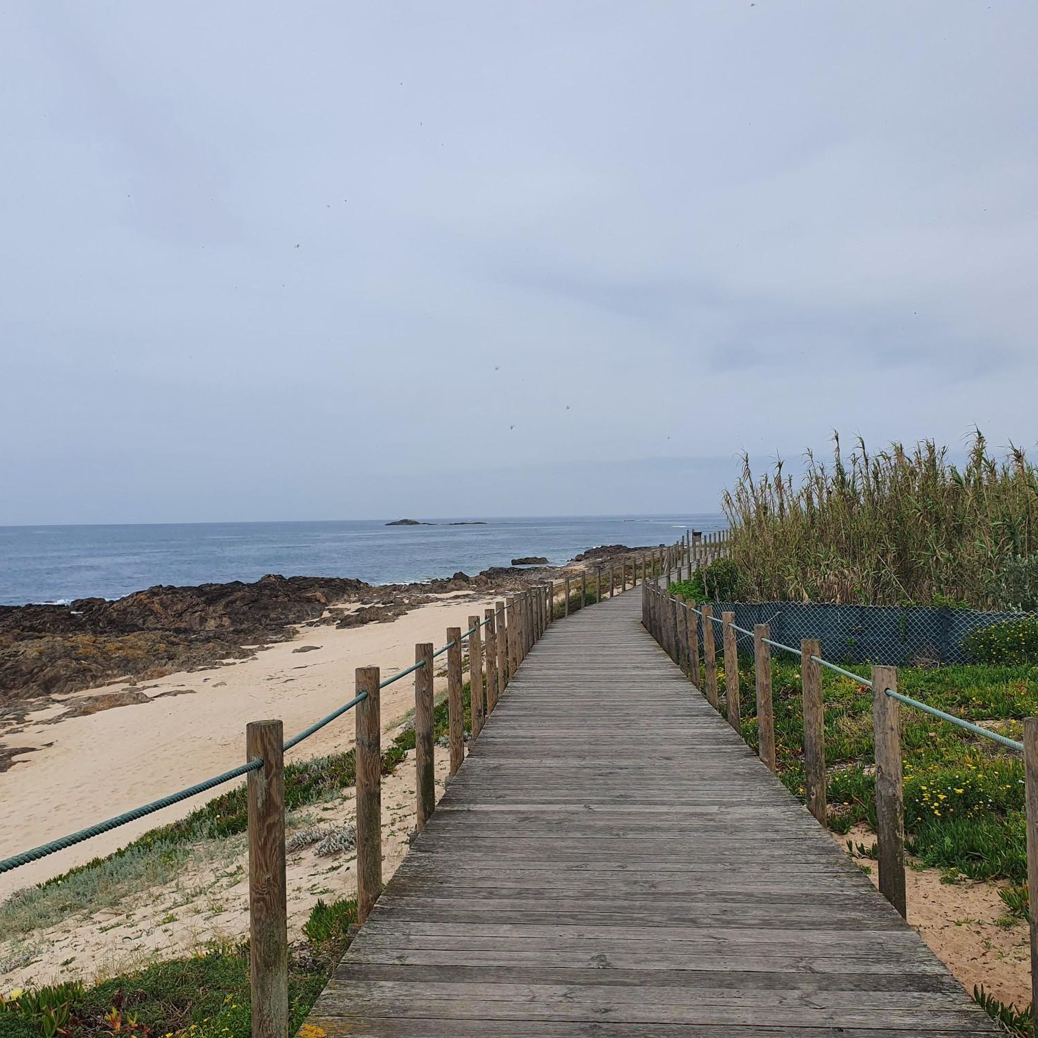
Caution: some planks are loose and can lift, tripping hazard
0
0
Attention: You need to concentrate while walking here, as some planks are loose and can move upwards.
0
0

Visiting: The site has free entry and is accessible at any time, being a frequent landmark on cycling and hiking routes that connect Vila do Conde to Aguçadoura.
1
0
Status: The mill was recently recovered and restored, maintaining its traditional appearance. However, visitors note that the structure is currently surrounded by modern residential buildings.
1
0
The Aguçadoura Beach Windmill is a traditional windmill located in the parish of Aguçadoura, municipality of Póvoa de Varzim. It is considered a symbol of local history and identity, situated near the dune area and the beach boardwalks.
1
0

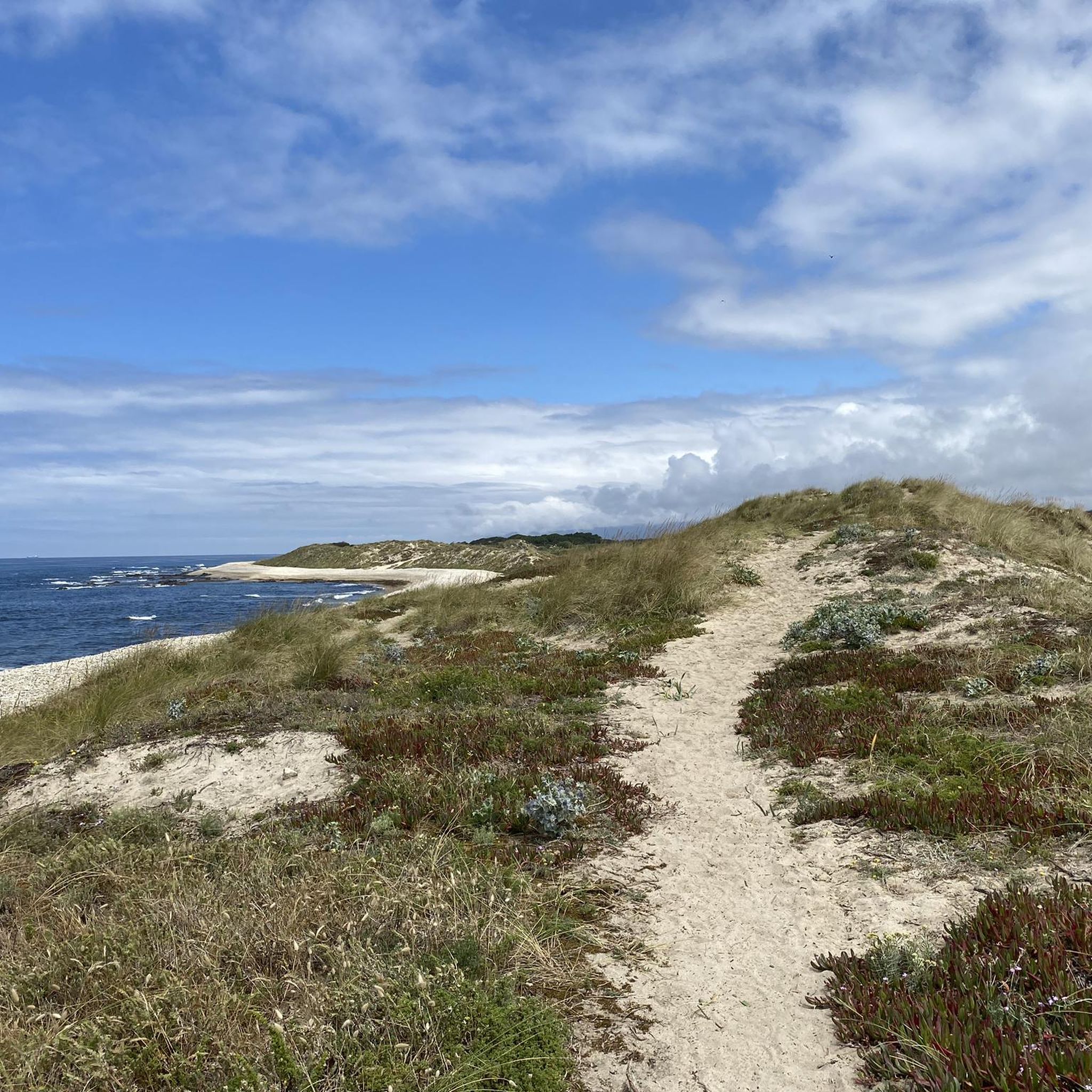
A spectacular walk overlooking the sea and smelling sargasso.
0
0

In Arcos, the highlight is its charming Romanesque bridge: the Ponte de São Miguel de Arcos, or simply Ponte de Arcos. It's estimated that this medieval bridge's origins date back to the 12th century. After years of supporting road traffic, it was freed from that burden in 2018 and is now pedestrian-only. A peaceful crossing with centuries of history beneath your feet.
1
0
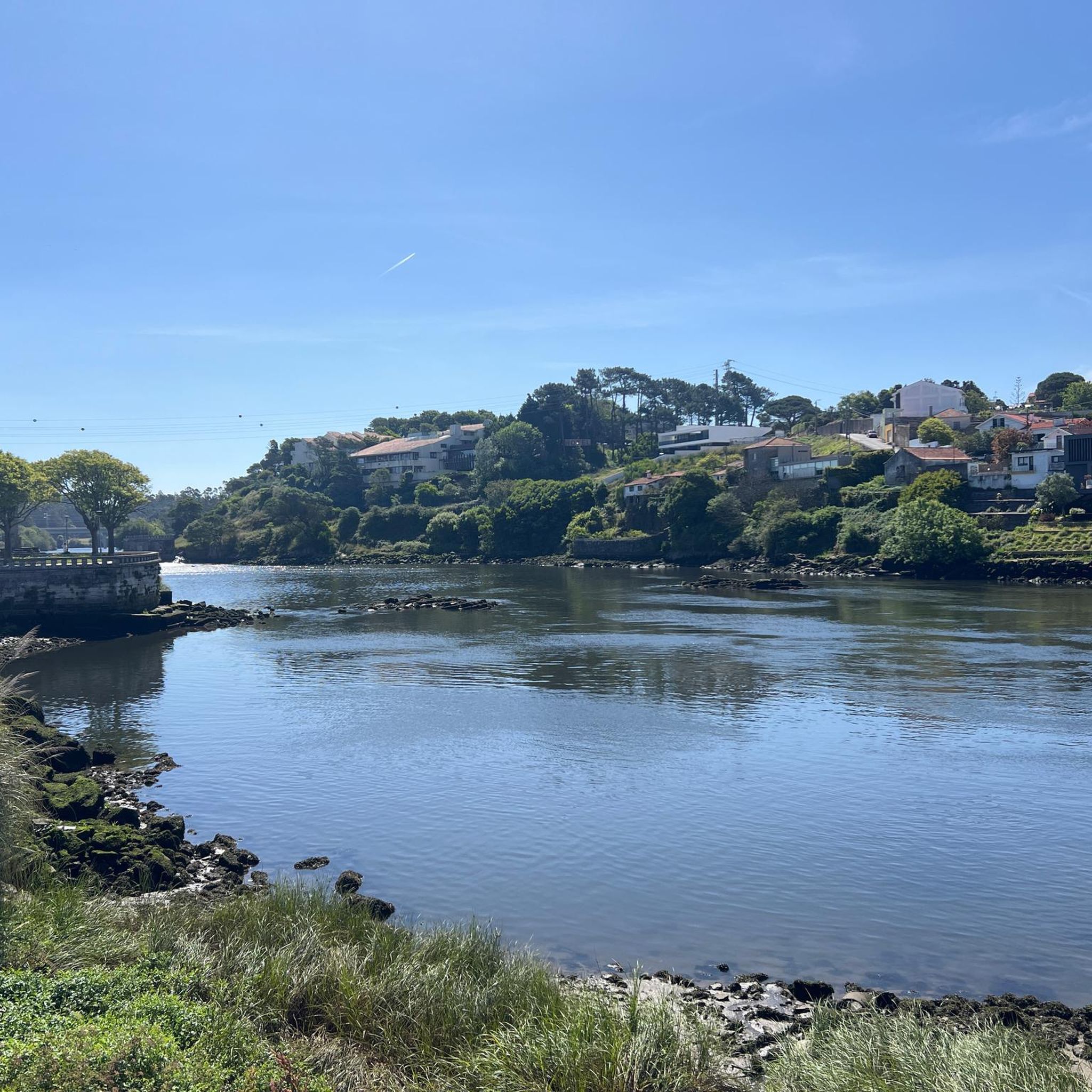
The Dom Zameiro Bridge crosses the Ave River in a bucolic setting of vineyards and fields, connecting the parishes of Bagunte and Macieira da Maia. Although reminiscent of Roman architecture, its origins date back to the 12th or 13th centuries. Part of the old Via Veteriz, the medieval road that connected Porto to Barcelos and Esposende, it continues to welcome pilgrims today, with a small resting place. Windmills and a rural house complete the serene picture of a place where time seems to slow down.
1
0
Frequently Asked Questions
What kind of terrain can I expect on hikes around Outeiro Maior?
Hikes around Outeiro Maior primarily feature coastal paths and river-adjacent trails. You'll encounter diverse vegetation, including eucalyptus forests and wildflowers, and some routes may showcase impressive granite rock formations. Elevation gains are generally low, making many routes accessible.
Are there any easy hiking trails suitable for beginners or families?
Yes, Outeiro Maior offers several easy routes. There are 3 easy trails available, with options lasting up to two hours with minimal elevation gain. These paths are suitable for various fitness levels, including families looking for a gentle walk.
Can I find circular hiking routes in the Outeiro Maior area?
Yes, many of the trails around Outeiro Maior are designed as loops. For example, the Lavra Fishing Village – Vila Chã Beach loop from Santa Clara and the Monumento ao Banhista – Praia de Vila do Conde loop from Vila do Conde are popular circular options, allowing you to start and end at the same point.
What natural features or landmarks can I see while hiking?
The region is known for its riverine scenery and diverse vegetation. You might encounter forest paths along rivers, and some areas feature waterfalls, such as the Cela Cavalos Waterfall loop. Additionally, you can explore coastal villages and beaches. Notable landmarks include the Beach Vila do Conde and the Dom Zameiro Bridge.
Are there any trails that feature water mills or historical structures?
Yes, the Dom Zameiro Bridge – Water mills on the Rio Ave loop from Macieira da Maia is a moderate trail that takes you past water mills along the Rio Ave and crosses the historic Dom Zameiro Bridge.
What is the best time of year to go hiking in Outeiro Maior?
The region offers pleasant hiking conditions for much of the year. While specific seasonal recommendations depend on your preference for warmth or cooler weather, the diverse vegetation and coastal paths can be enjoyed across different seasons. Always check local weather forecasts before heading out.
What do other hikers say about the trails in Outeiro Maior?
The trails in Outeiro Maior are highly regarded by the komoot community, with an average rating of 4.6 stars from over 150 reviews. Hikers often praise the varied terrain, from coastal paths to riverine environments, and the well-maintained routes.
Are there any long-distance or more challenging hikes available?
Yes, for those seeking a challenge, there are difficult routes available. The Lavra Fishing Village – Vila Chã Beach loop from Santa Clara is a demanding 27.4 km trail that takes over 7 hours to complete, exploring coastal villages and beaches.
Can I find trails that offer scenic viewpoints or coastal views?
Absolutely. Many routes in Outeiro Maior provide excellent coastal views. The Monumento ao Banhista – Praia de Vila do Conde loop from Vila do Conde, for instance, offers picturesque views of the coast and passes by a notable monument.
Are there any trails that feature boardwalks?
Yes, the Wooden boardwalk – Aguçadoura Beach Mill loop from Santa Clara is a 23.7 km trail that leads through coastal areas and features wooden boardwalks, offering a unique walking experience.
What kind of vegetation can I expect to see on the trails?
The trails around Outeiro Maior are known for their rich biodiversity and diverse vegetation. You can expect to see eucalyptus forests, various wildflowers, and ever-changing landscapes as you hike through the region's natural areas.
Most popular attractions around Outeiro Maior

Get inspired with the komoot mobile app


Explore more
Browse the best Hikes in other regions.
