The best MTB trails around Outeiro Maior
4.0
(91)
966
riders
65
rides
Mountain biking around Outeiro Maior offers varied terrain within a mountainous landscape. The region is characterized by its elevation, reaching 1,386 meters (4,547 feet), and its location within the Peneda-Gerês National Park and the Gerês-Xurés Biosphere Reserve. This environment provides a mix of climbs and descents, alongside well-preserved natural scenery including forests and rivers. The area is suitable for mountain biking due to its inherent challenging terrain and natural surroundings.
Best mountain bike trails around Outeiro Maior
- The most popular…
Last updated: October 30, 2026
4.4
(19)
42
riders
30.9km
01:47
260m
260m
Easy mountain bike ride.
5.0
(4)
22
riders
24.4km
01:28
230m
230m
Moderate mountain bike ride. Advanced riding skills necessary.

10
riders
39.0km
02:44
480m
480m
Moderate mountain bike ride. Good fitness required.
5.0
(2)
5
riders
94.0km
05:56
450m
450m
Hard mountain bike ride. Very good fitness required. Advanced riding skills necessary.
5
riders
47.3km
03:39
730m
730m
Moderate mountain bike ride. Good fitness required.
Get access to more routes and recommendations from other explorers.
Already have an account?
Our route recommendations are based on thousands of hikes, rides, and runs completed by other people on komoot.
Start today with a free account
Your next adventure awaits.


Tips from the Community

Be very careful when approaching intersections, don't rush
0
0

The Metal Bridge of Fão (Esposende) Location: It crosses the Cávado River, on National Road 13 (EN13), in the parish of Fão, in Esposende. Alternative Name: It is frequently referred to as the D. Luís Filipe Bridge. History: It is a significant example of iron architecture in Portugal, inaugurated on August 7, 1892. Characteristics: The bridge, which is a Property of Public Interest, has an extensive metal structure and has recently been rehabilitated.
2
0
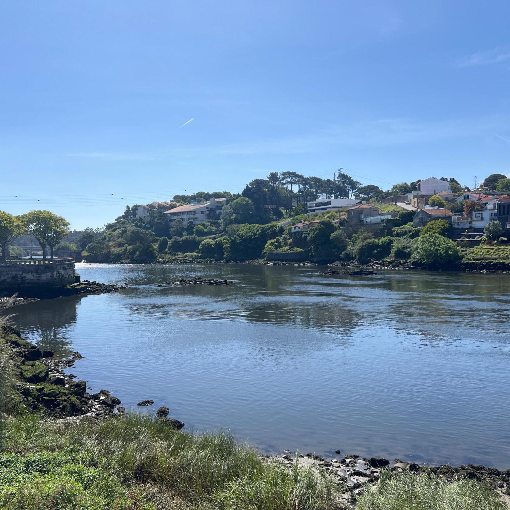
In Esposende, the main historical bridge that crosses the Cávado River is the Ponte Metálica de Fão, also known locally as Ponte D. Luís Filipe.
2
0
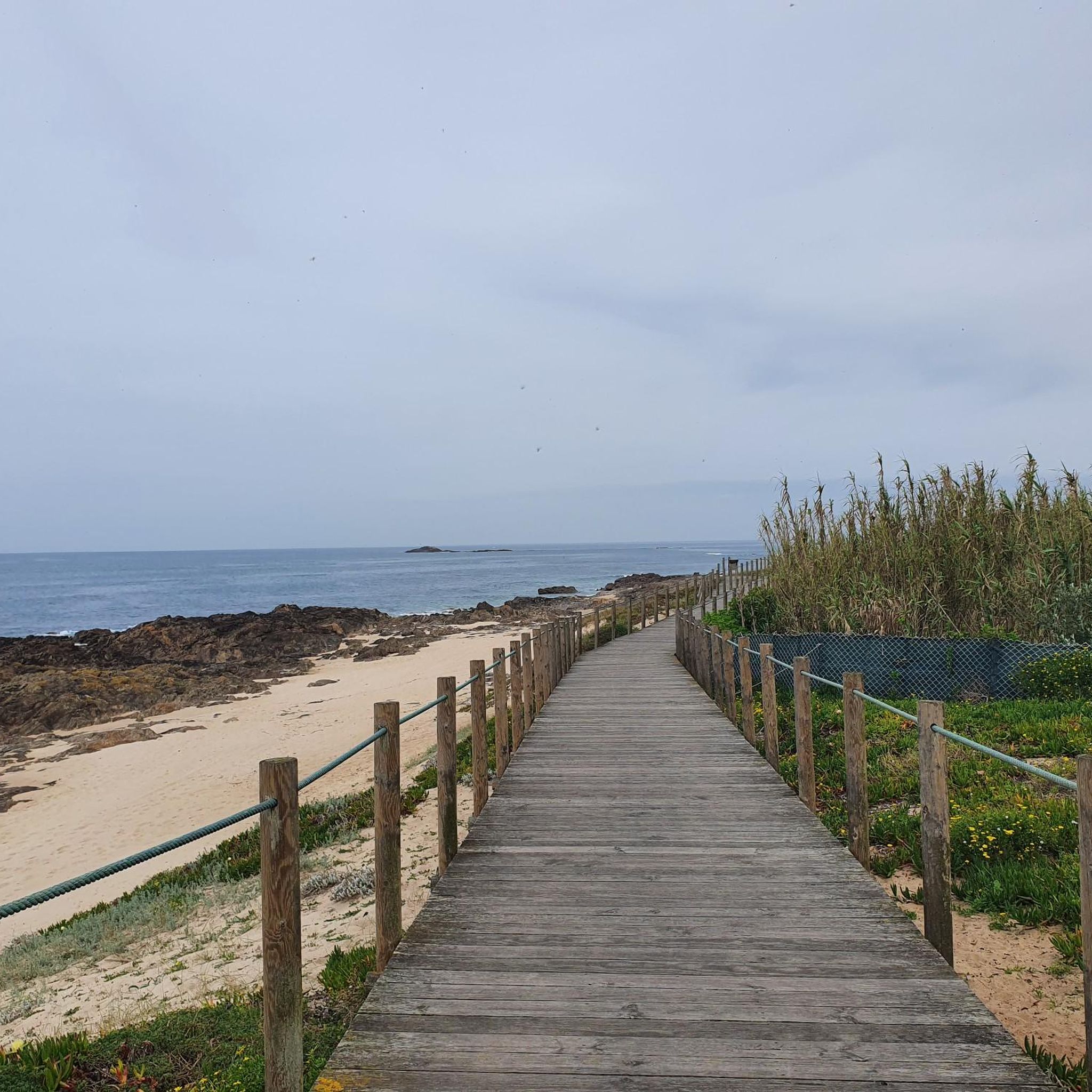
Highlights and Route Landscape: The route crosses rural areas, small population centers, agricultural fields, and forest areas, offering a calm and pleasant environment. Localities: The ecotrail passes through several localities, including Amorim, Terroso, Laundos, Rates, Balazar, Gondifelos, Louro, and Brufe. Intermodality: A great advantage is the direct connection to the Vila Nova de Famalicão train station and the Porto Metro station in Póvoa de Varzim, facilitating access to the beginning and end of the route. Interconnection: The cycle path connects to the Formiga Ecotrail, allowing the ride to be extended.
1
0
Route Characteristics Length: The route is approximately 28 to 30 kilometers in total, connecting the rural interior (Famalicão) to the Atlantic coast (Póvoa de Varzim). Difficulty: It is a flat route, without major slopes or sharp curves, making it an easy and accessible route for everyone, including families with children. Surface: The surface is a mixture of macadam and, in some sections, asphalt, suitable for walking, running and cycling. Accessibility: The ecotrail is wheelchair accessible and has approximately 12 rest areas along the route.
1
0
The Famalicão–Póvoa de Varzim cycle path is, in fact, the Famalicão branch line cycle path. This route was built using the canal of the old railway branch line that connected Vila Nova de Famalicão and Póvoa de Varzim, and which ceased train service in 1995.
1
0


The Municipal Palace of Viana do Castelo, or Viana do Castelo Town Hall, is located in the historic center, on the square where the old So Tiago Gate once stood, providing access to the city's walled city. Built in the first decade of the 16th century by order of Manuel XVI, it was later also used as a chain store, a bread and flour market, a library, and is now a cultural center. The building's style and layout fit in with the Gothic tradition. https://pt.wikipedia.org/wiki/Pa%C3%A7os_Municipais_de_Viana_do_Castelo
0
0
Frequently Asked Questions
How many mountain bike trails are available in Outeiro Maior?
There are over 70 mountain bike trails around Outeiro Maior, offering a diverse range of experiences for mountain bikers.
Are there mountain bike trails for all skill levels in Outeiro Maior?
Yes, Outeiro Maior offers a range of trails suitable for different abilities. You'll find 6 easy routes, 57 moderate routes, and 7 difficult routes, ensuring options for beginners to advanced riders.
What do other mountain bikers enjoy most about the trails in Outeiro Maior?
The mountain bike trails in Outeiro Maior are highly rated by the komoot community, with an average score of 4.2 stars from over 70 reviews. Riders often praise the varied terrain, the mix of climbs and descents, and the well-preserved natural scenery within the mountainous landscape.
Are there any circular mountain bike routes in Outeiro Maior?
Yes, many of the mountain bike routes in Outeiro Maior are circular. For example, you can explore the Roman Bridge – Famalicão Cycle Path loop from Macieira de Rates, which is a moderate 35.2 km trail featuring historical Roman bridge crossings.
What kind of natural features can I expect to see while mountain biking in Outeiro Maior?
Outeiro Maior is situated within the Peneda-Gerês National Park and the Gerês-Xurés Biosphere Reserve, offering a landscape rich in biodiversity. You can expect to see forests, rivers, and diverse flora and fauna, providing a scenic backdrop for your rides. The region's mountainous environment also means varied terrain and stunning panoramas.
Are there any historical landmarks or points of interest along the mountain bike trails?
Yes, several routes incorporate historical elements. For instance, the Dom Zameiro Bridge – Touguinhó Romanesque Bridge loop from Queimado Alto leads through areas with historical bridges. You can also find highlights like the Dom Zameiro Bridge itself, and the Quincentennial Carrack nearby.
What is the best season for mountain biking in Outeiro Maior?
The mountainous terrain of Outeiro Maior makes it suitable for mountain biking across various seasons, though spring and autumn often offer the most pleasant temperatures and vibrant scenery. Always check local weather conditions before heading out, especially during winter months when higher elevations might be more challenging.
Are there any longer mountain bike routes for experienced riders?
Yes, for experienced riders looking for longer routes, consider the Monte de Santa Catarina – Famalicão Cycle Path loop from Igreja de São Pedro de Rates. This moderate trail covers 48.1 km with significant elevation changes, offering a substantial challenge.
Can I find trails that are suitable for families with children?
While the region is known for its mountainous terrain, there are easier routes available. With 6 easy routes, families can find suitable options. Look for trails with lower elevation gain and shorter distances for a more comfortable family experience.
Is there public transport available to access the mountain bike trails in Outeiro Maior?
While specific public transport links directly to trailheads in Outeiro Maior are not detailed, the region is part of the municipality of Vila do Conde. It's advisable to research local bus services or train connections to nearby towns like Vila do Conde or Macieira de Rates, and then plan your route to the trail starting points.
Where can I find parking near the mountain bike trails?
Parking availability can vary by trailhead. Many routes, such as those starting from Macieira de Rates or Queimado Alto, are accessible from villages where street parking or small public parking areas might be available. It's recommended to check the specific starting point of your chosen route for parking details.
Are there any hidden gem mountain bike trails in the Outeiro Maior area?
The broader region around Outeiro Maior, including the Peneda-Gerês National Park, is known for its natural beauty and offers numerous less-traveled paths. Exploring routes that venture deeper into the natural park areas, away from the more popular starting points, can often lead to discovering quieter and equally rewarding trails.
Are there any cafes or places to eat near the mountain bike trails?
While the trails themselves traverse natural and often remote areas, you'll typically find cafes, restaurants, and other amenities in the nearby villages and towns, such as Macieira de Rates or Vila do Conde. Planning your route to pass through or start/end near these locations will allow for refreshment stops.
Most popular attractions around Outeiro Maior

Get inspired with the komoot mobile app


Explore more
Browse the best MTB trails in other regions.
