The best mountain hikes around Caniçal
4.5
(15)
83
hikers
5
hikes
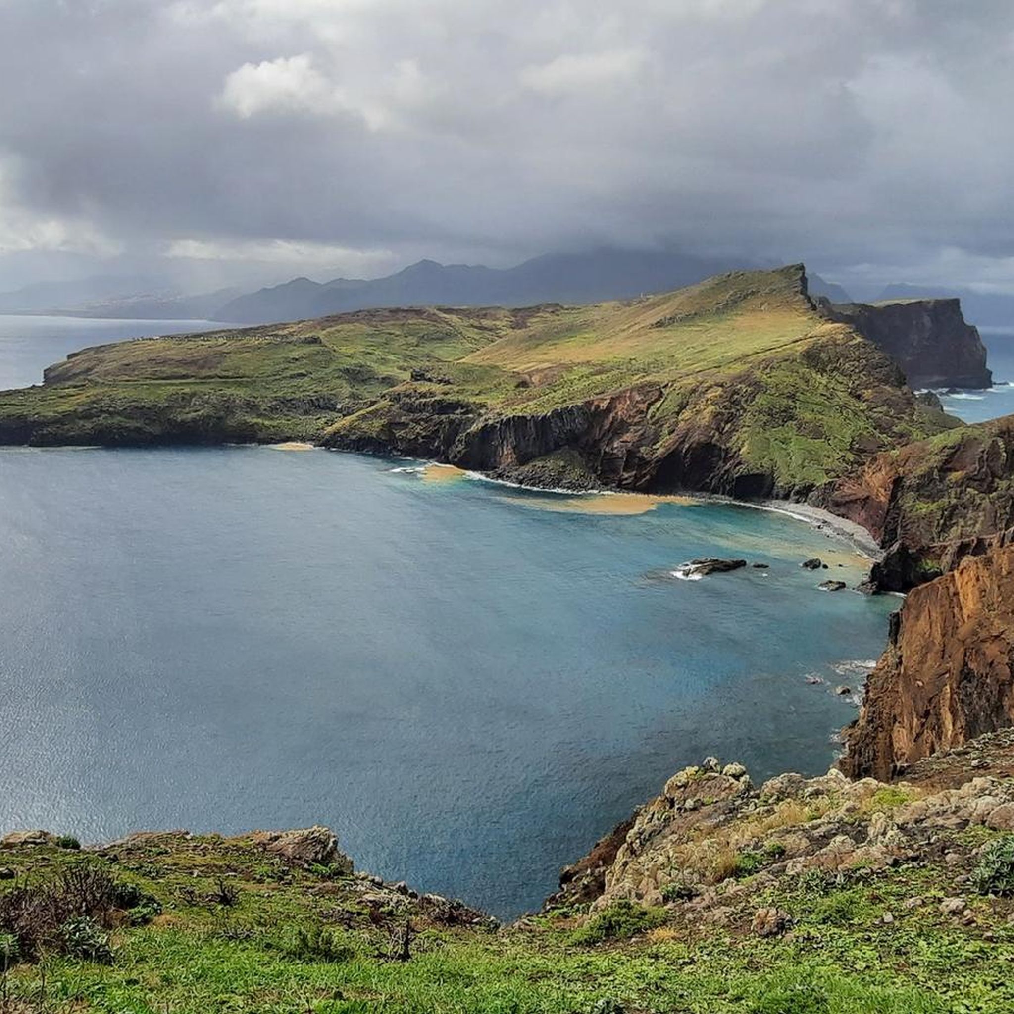
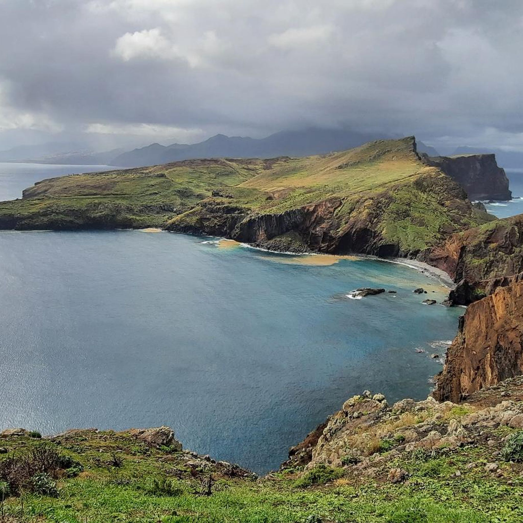
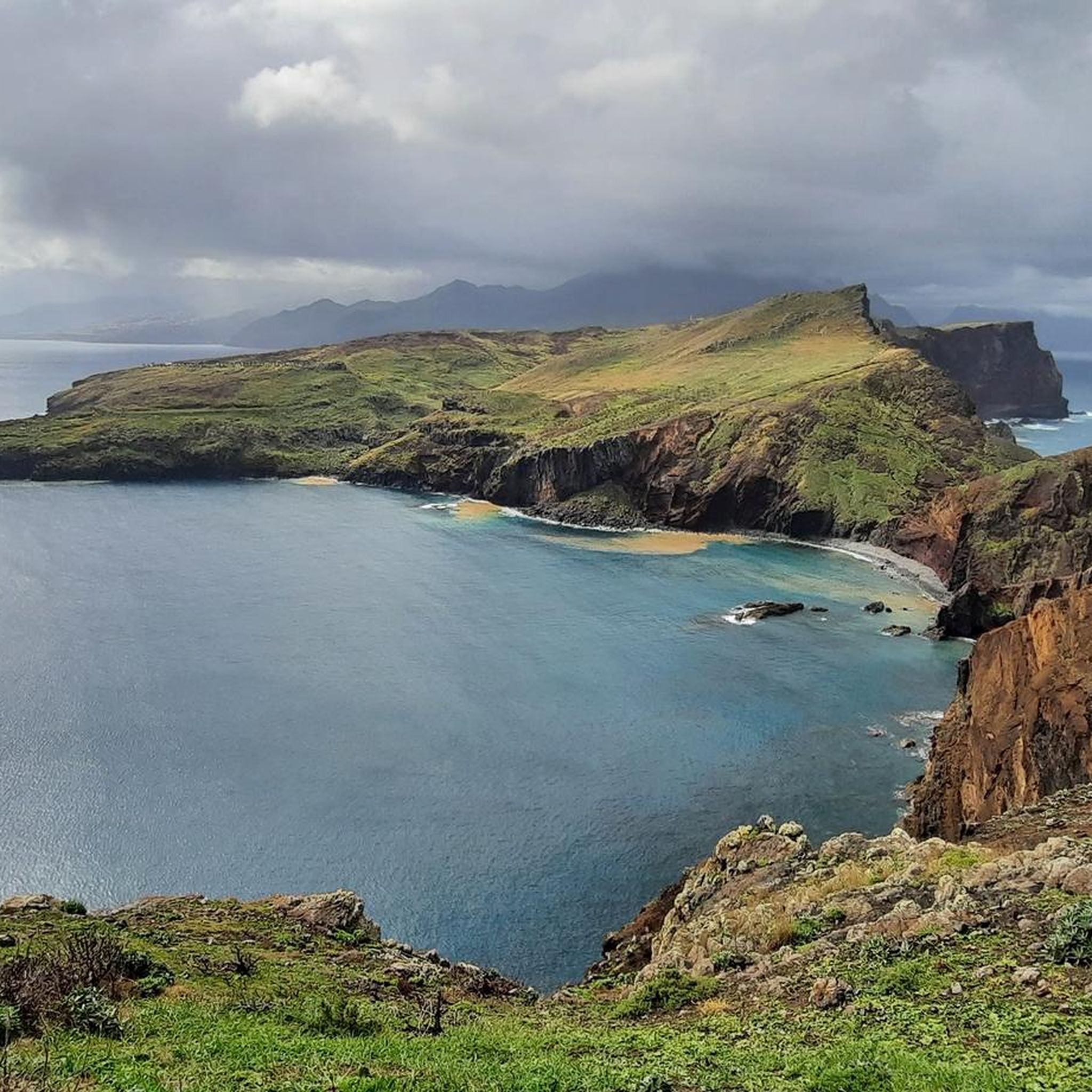
Mountaineering routes around Caniçal traverse a dramatic and rugged coastal landscape on Madeira's eastern tip. The region is characterized by its volcanic origins, featuring impressive cliffs that plunge into the Atlantic Ocean and barren, arid terrain. Escarped areas reach altitudes of 800 meters above sea level, offering opportunities to explore hills and peaks.
Best mountaineering routes around Caniçal
- The most popular mountaineering route is Baía de Abra Parking Lot loop from Ponta de São Lourenço, a 2.1 miles (3.3…
Last updated: July 3, 2026
4.0
(2)
11
hikers
Easy mountaineering route. Great for any fitness level. Easily-accessible paths. Suitable for all skill levels.
4.5
(2)
9
hikers
17.4km
06:41
910m
910m
Hard mountaineering route. Very good fitness required. Mostly accessible paths. Sure-footedness required.

Sign up for free
5.0
(1)
5
hikers
8.84km
03:47
530m
530m
Hard mountaineering route. Good fitness required. Sure-footedness, sturdy shoes and alpine experience required.
1
hikers
9.34km
03:54
480m
490m
Hard mountaineering route. Good fitness required. Sure-footedness, sturdy shoes and alpine experience required.
Our route recommendations are based on thousands of hikes, rides, and runs completed by other people on komoot.
Start today with a free account
Your next adventure awaits.
Login or Signup
Other adventures around Caniçal

Tips from the Community

On this section of Boca do Risco, you'll find a small cave right on the spectacular coastal path. The combination of dark lava rock, the path running high above, and the constant sound of the Atlantic Ocean creates a particularly impressive atmosphere. A striking spot that offers a unique way to experience the wild, unspoiled landscape of Madeira.
5
0
This small waterfall in Madeira Natural Park is a tranquil natural highlight along the trail. Between rock faces and lush greenery, the water gently cascades down, creating a refreshing and idyllic atmosphere. A short stop is well worth it – perfect for enjoying the peace of the forest and the natural beauty of Madeira.
2
0
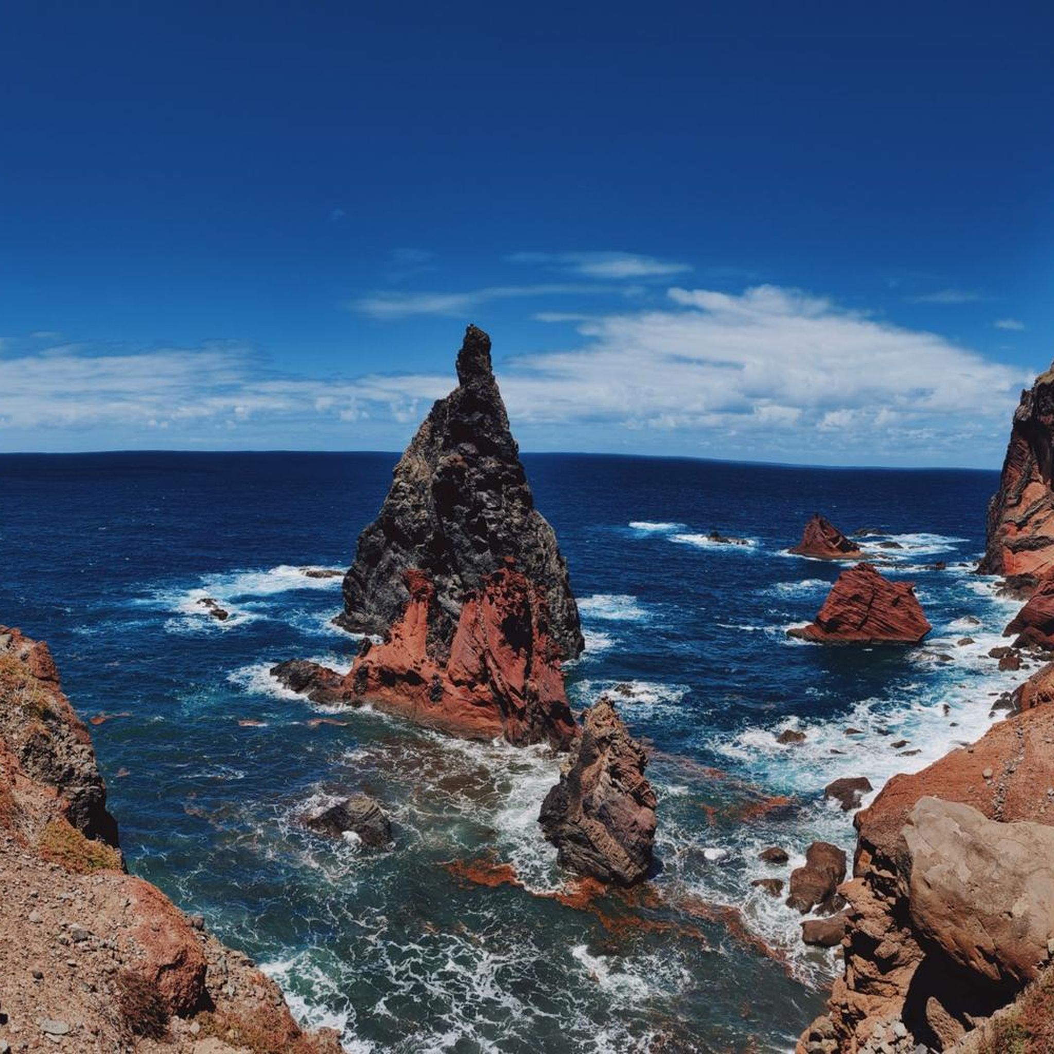
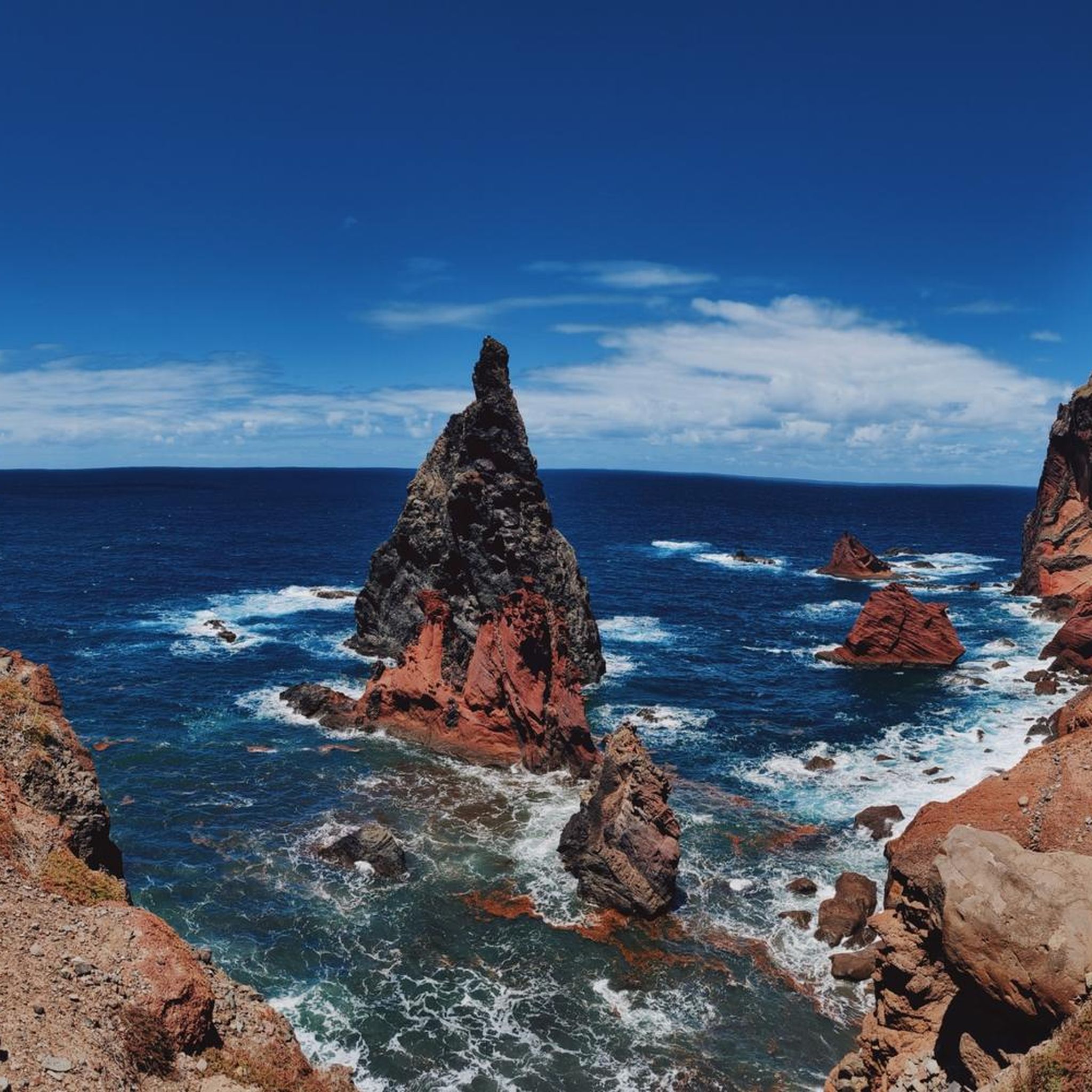
From this point, you have a breathtaking view of the rock formations of Ponta de São Lourenço, which appear in vibrant shades of red, yellow, and dark basalt. The rugged cliffs and striking strata reveal the volcanic history of Madeira in all its diversity. A captivating panorama that ranks among the most impressive moments on this coastal path.
3
0
The rock steps of Ponta de São Lourenço lead you across naturally formed and partially reinforced steps through the rugged volcanic landscape of the peninsula. As you ascend and descend, fantastic views of the cliffs and the Atlantic Ocean constantly unfold. A characteristic section of the trail that makes the wild beauty of this region particularly palpable.
3
0
The São Lourenço hike begins at the starting point of one of Madeira's most impressive coastal trails. From here, the path leads through a barren, wind-sculpted volcanic landscape, accompanied by spectacular views of the cliffs and the Atlantic Ocean. A perfect starting point for anyone wanting to experience the wild eastern tip of the island in depth.
1
0

Beautiful flora and great views.
0
0

Great play of colors on the rocks
0
0
Into battle on the Panorama Trail
0
0
Frequently Asked Questions
How many mountaineering routes are available around Caniçal?
There are 6 distinct mountaineering routes around Caniçal, offering a variety of experiences from easy coastal walks to challenging ascents through rugged terrain.
Are there any easy mountaineering routes suitable for beginners or families in Caniçal?
Yes, for those seeking an easier experience, the Baía de Abra Parking Lot loop from Ponta de São Lourenço is an excellent choice. This 3.3 km route is rated as easy and offers continuous views along the stunning Ponta de São Lourenço peninsula, making it suitable for beginners or families.
What kind of terrain can I expect on mountaineering routes in Caniçal?
Mountaineering routes in Caniçal primarily traverse a dramatic and rugged coastal landscape. You'll encounter volcanic origins, impressive cliffs plunging into the Atlantic, and often barren, arid, and rocky terrain, particularly on the Ponta de São Lourenço peninsula. Some areas also feature escarped terrain reaching altitudes of 800 meters above sea level.
Are there any circular mountaineering routes in Caniçal?
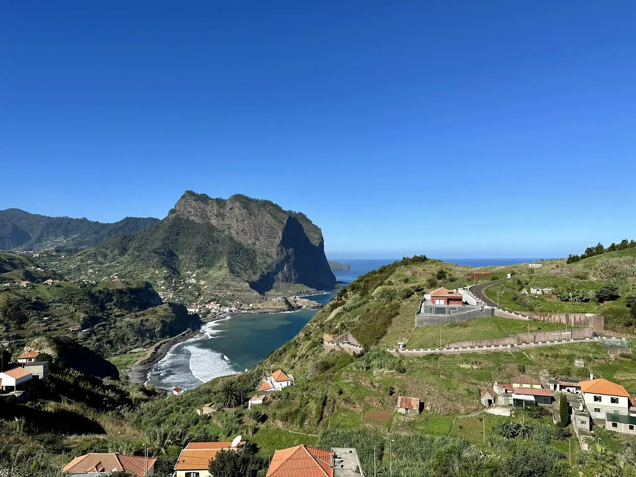
Yes, many of the routes around Caniçal are circular. For example, the easy Baía de Abra Parking Lot loop from Ponta de São Lourenço offers a complete loop. For more challenging options, consider the Eagle Rock of Porto da Cruz – View of Porto da Cruz loop from Machico or the Eagle Rock of Porto da Cruz – View of Porto da Cruz loop from Porto da Cruz, both of which are also circular.
What are some of the most challenging mountaineering routes in the Caniçal area?
For experienced mountaineers seeking a challenge, routes like the Eagle Rock of Porto da Cruz – View of Porto da Cruz loop from Machico stand out. This difficult 24.3 km path features significant elevation gain and expansive coastal vistas, requiring good physical condition and experience.
What natural attractions can I see along the mountaineering routes in Caniçal?
The routes offer access to stunning natural features. You can explore the dramatic landscapes of the Ponta de São Lourenço peninsula, including the Ponta de São Lourenço Viewpoint and Ponta de São Lourenço Bay. Other notable spots include Boca do Risco and Abra Bay.
Are there any waterfalls near the mountaineering trails in Caniçal?
While Caniçal itself is known for its arid coastal landscape, there are beautiful waterfalls within a reasonable distance. You can find highlights such as the Waterfall Along Levada do Norte and the Stone Bridge and Waterfall Pool, Madeira Natural Park, which offer a different natural experience.
What do other mountaineers say about the routes in Caniçal?
The mountaineering routes in Caniçal are highly rated by the komoot community, with an average score of 4.6 stars from over 16 reviews. Users frequently praise the dramatic coastal scenery, unique geological formations, and the breathtaking panoramic views of the Atlantic Ocean and surrounding islands.
What is the best time of year for mountaineering in Caniçal?
Caniçal's climate is generally mild, making it suitable for mountaineering year-round. However, the drier, warmer months from spring to early autumn (April to October) are often preferred for clearer skies and more stable weather conditions, especially when tackling the exposed coastal trails of Ponta de São Lourenço.
Are there specific parking areas or trailheads for mountaineering routes in Caniçal?
Yes, many routes have designated starting points. For instance, the popular easy route, Baía de Abra Parking Lot loop from Ponta de São Lourenço, begins directly from the Baía de Abra Parking Lot, providing convenient access to the trail.
What should I pack for a mountaineering trip in Caniçal?
Given the rugged and often exposed terrain, it's advisable to pack sturdy hiking boots, layers of clothing to adapt to changing weather, sun protection (hat, sunglasses, high-SPF sunscreen), and plenty of water. For longer or more challenging routes, bring snacks, a first-aid kit, and a fully charged phone. A map or GPS device is also recommended.
Can I find any hidden gems or less-traveled routes in Caniçal?
While the Ponta de São Lourenço is well-known, exploring the escarped terrain on the western border of Caniçal, with altitudes reaching 800 meters, can lead to less-traveled paths. These areas, such as around Boulder Bag of Junqueiro, Lagedo, and Cancela, offer opportunities for more secluded exploration and unique perspectives of the region.
Most popular attractions around Caniçal

Get inspired with the komoot mobile app


Explore more
Browse the best Mountain Hikes & Routes in other regions.
