The best running trails around Cantar-Galo
5.0
(1)
258
runners
33
runs
Jogging routes around Cantar-Galo are situated within the mountainous Serra da Estrela region, characterized by its high-altitude landscapes and significant elevation changes. The terrain includes open mountain paths, valleys, and features like Lagoa do Peixão. Running in this area offers varied challenges, from long-distance trails to routes that explore the vicinity of villages such as Penhas da Saúde. The region's natural environment provides a backdrop for diverse running experiences.
Best jogging routes around Cantar-Galo
- The most popular jogging route is…
Last updated: July 8, 2026
30
runners
26.6km
03:51
1,040m
1,040m
Hard run. Very good fitness required. Sure-footedness, sturdy shoes and alpine experience required.
22
runners
39.6km
05:11
1,230m
1,230m
Hard run. Very good fitness required. Mostly accessible paths. Some sure footedness required.

Sign up for free
15
runners
47.9km
06:42
1,790m
1,790m
Hard run. Very good fitness required. Sure-footedness, sturdy shoes and alpine experience required.
10
runners
22.8km
02:41
650m
650m
Hard run. Very good fitness required. Mostly paved surfaces. Suitable for all skill levels.
6
runners
10.3km
01:23
440m
440m
Hard run. Very good fitness required. Mostly paved surfaces. Suitable for all skill levels.
Get access to more routes and recommendations from other explorers.
Sign up for free
Already have an account?
Our route recommendations are based on thousands of hikes, rides, and runs completed by other people on komoot.
Start today with a free account
Your next adventure awaits.
Login or Signup

Tips from the Community

Cântaro Magro is one of the "commonplaces" of the Serra da Estrela mountain range, whose summit rises to 1928 m altitude, deserving a visit at any time of year. Viewed from west to east, its silhouette resembles a pitcher. In summer, its rocky face is interrupted by small terraces of soil, where some of the rarest botanical jewels of the mountain range grow. In winter, it is covered in snow and ice which, as they melt, form ephemeral waterfalls. These recall the overflowing liquid from the pitchers carried on the heads of women when, in the past, they went to the fountains. #CISE #VisitSeia #ParqueNaturaldaSerradaEstrela
0
0

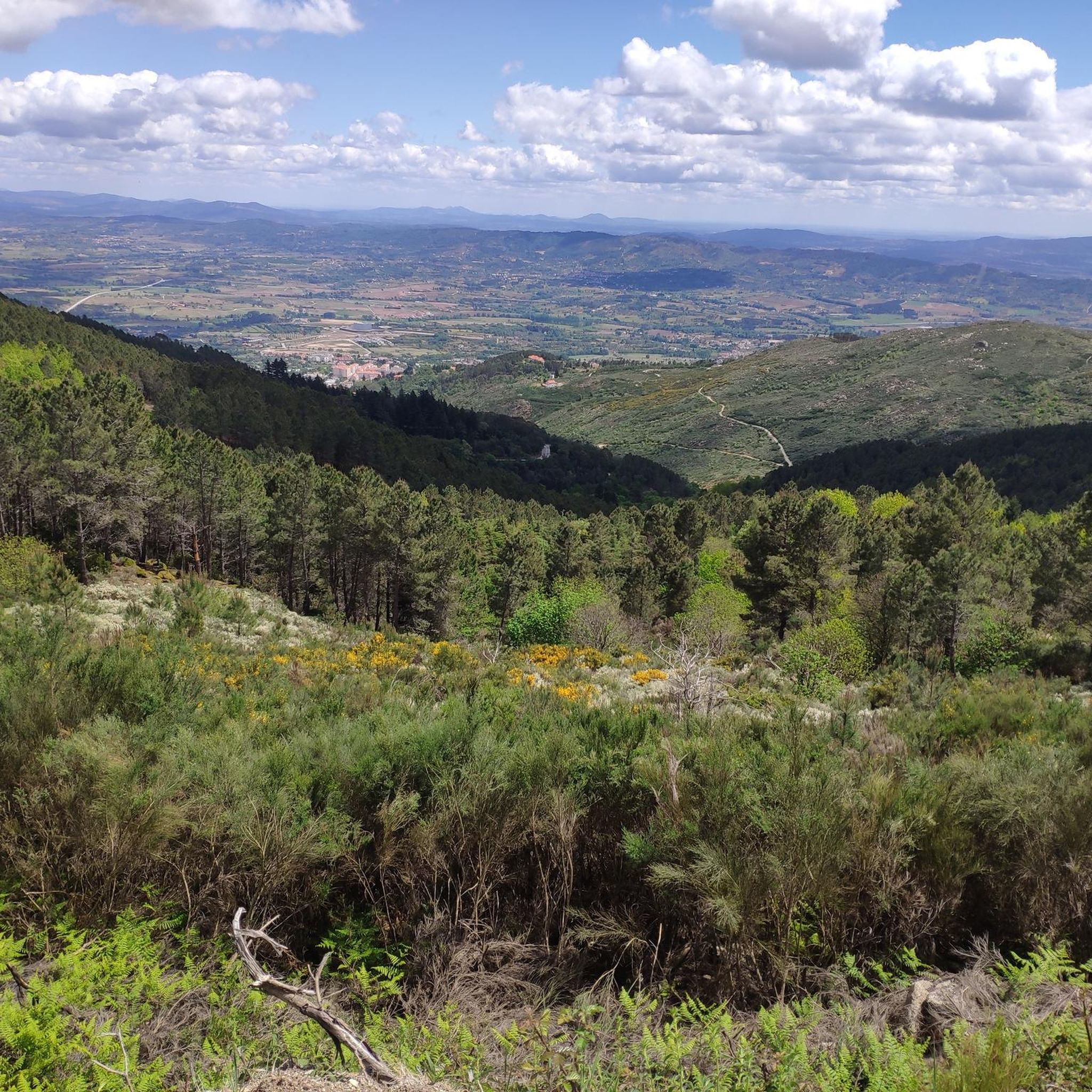
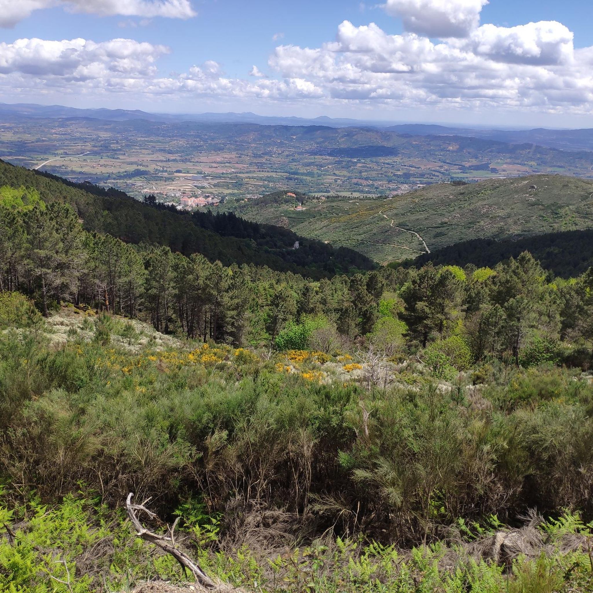
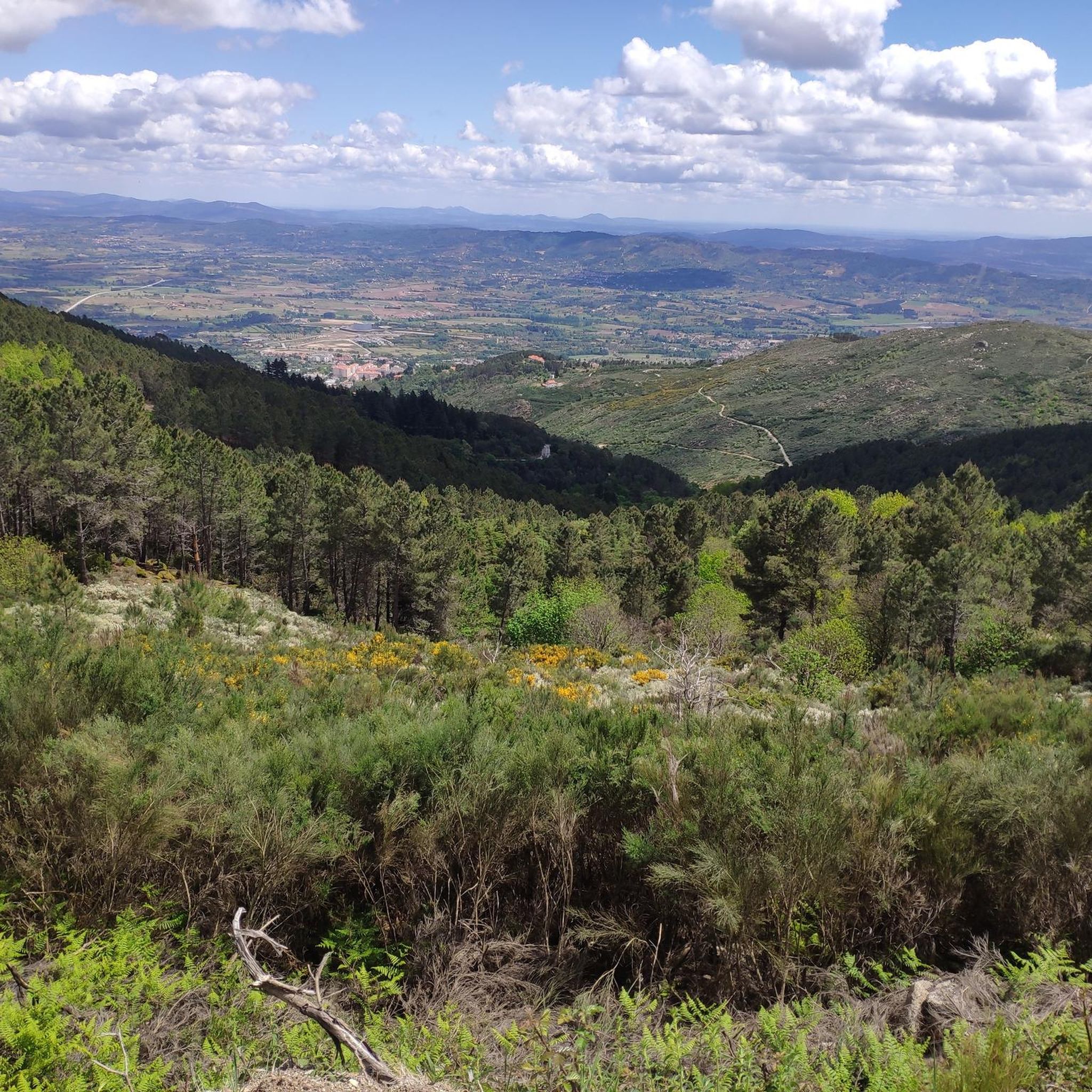
The Serra da Estrela Natural Park is something truly special. This 1,000-square-kilometer park, spread across six municipalities, was the first and currently the largest protected natural park in Portugal. It is home to the highest point on the Portuguese mainland, the country's only ski slope, the source of two important rivers, and a fascinating, alpine-like landscape formed by glaciers.
5
1
At exactly 1993 meters above sea level, Torre is the highest point in mainland Portugal, where the only ski resort is located. The landscape on the upper plateau of the Serra da Estrela is like a sprinkling of granite rocks over low scrub and patches of snow and ice, which the sun threatens to melt soon in the summer and which always returns the following winter. In winter, it sometimes becomes inaccessible.
6
0

Caminho dos Poios with views of the Vale Glaciar do Zêzere The Caminho dos Poios, or the "Poios" (agricultural terraces) Trail, offers spectacular views of the vast and imposing Vale Glaciar do Zêzere, a masterpiece of nature sculpted by ancient glaciers. This trail winds along the sides of the mountain, offering panoramic views that embrace the entire "U" valley, highlighting its grandeur and the singularity of the landscape. The route allows you to appreciate not only the glacial morphology with its steep walls and moraine deposits, but also the human ingenuity in adapting the territory, as evidenced by the terraces that characterize the landscape in some areas. It is an immersion in the wild beauty of the Serra da Estrela, with the opportunity to contemplate one of its most significant geological treasures.
2
0
Cântaro Magro is one of the most iconic and spectacular rock formations in the Serra da Estrela, the highest mountain range in mainland Portugal. This imposing granite spire is the result of millions of years of glacial erosion and weathering. Its name, which means "Skinny Pitcher", perfectly describes its slender and elongated silhouette.
3
0

The Lagoa do Peixão, sculpted by ice from ancient times, has an almost mystical aura. In spring, the spectacle becomes even more mesmerizing, with thousands of dragonflies dancing on the water, while tree frogs croak on the edge of the lake, composing a perfect natural symphony. The view from here is breathtaking. The imposing rocky peaks of Fragão do Poio dos Cães and Cântaro Gordo emerge on the horizon, reminding you of the ancient glaciers that once shaped this stunning landscape.
4
0

Beautiful panoramic views from the highest point in Portugal. You can ski here in winter, and there is sometimes snow even in summer.
4
0

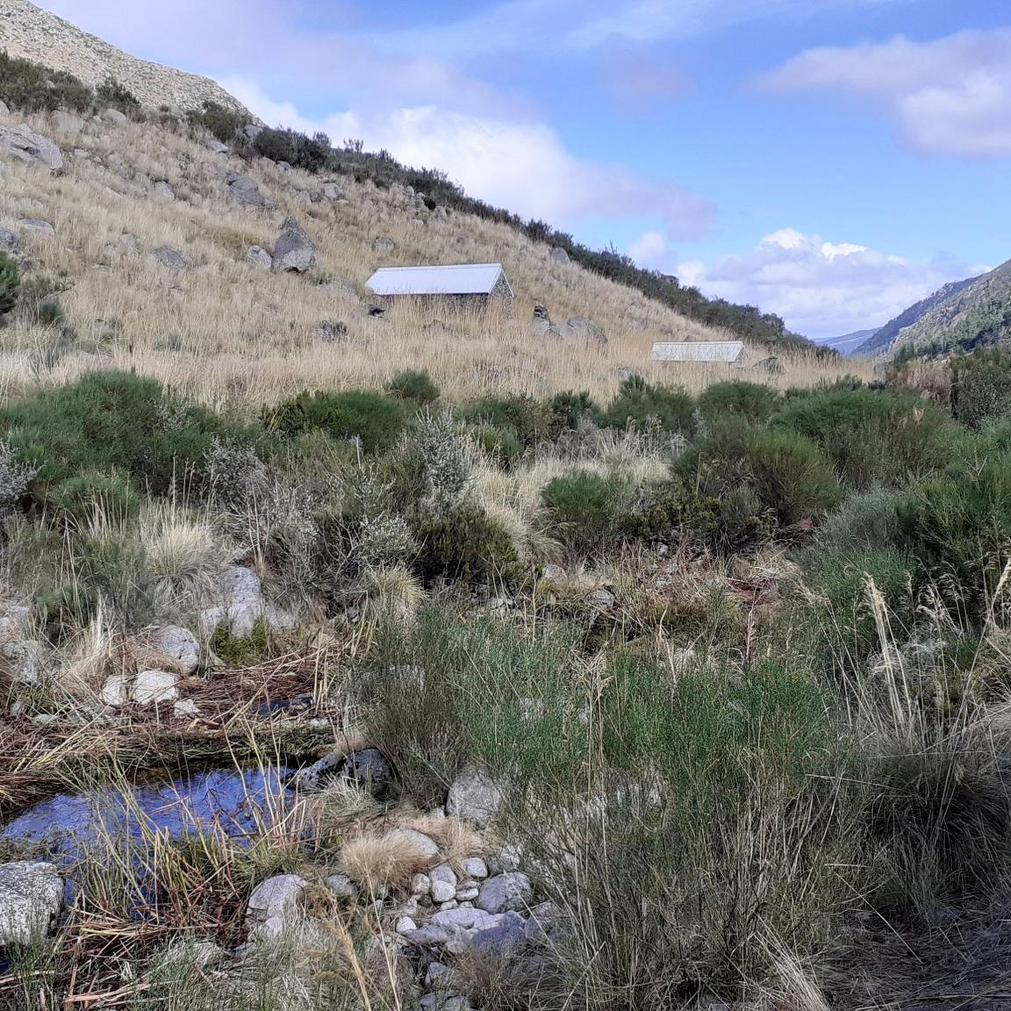
Magnificent scenery. Be careful, the trails are very poorly marked and not at all maintained. The part of the trail between Luguna do Peixão and the valley leading to Mantega must be done almost exclusively using GPS.
1
0
Frequently Asked Questions
How many running routes are available around Cantar-Galo?
There are over 30 dedicated running routes around Cantar-Galo, offering a variety of experiences from moderate to difficult. These trails are situated within the mountainous Serra da Estrela region.
Are there any easy jogging routes for beginners in Cantar-Galo?
While many routes in Cantar-Galo are challenging, there are options for less experienced runners. For example, the Running loop from Vila do Carvalho is a moderate 11 km trail with less elevation gain, making it suitable for those looking for a gentler introduction to running in the area.
What kind of terrain can I expect on the running trails in Cantar-Galo?
The terrain around Cantar-Galo is predominantly mountainous, characterized by high-altitude landscapes, significant elevation changes, and open mountain paths. You'll encounter valleys and features like Lagoa do Peixão, providing a diverse and often challenging running experience.
Are there any circular running routes in the Cantar-Galo area?
Yes, many of the running routes around Cantar-Galo are circular. For instance, the challenging Cântaro Magro – Torre (Serra da Estrela) loop from Penhas da Saúde offers a scenic circular journey through the high peaks.
What are some notable natural attractions I can see while jogging in Cantar-Galo?
The region boasts several impressive natural attractions. You might encounter the unique Covão dos Conchos Trail, the majestic Cântaro Magro rock formation, or even the serene Hidden cascade at Poço do Inferno. The Torre (Serra da Estrela Summit) is also a prominent landmark in the area.
Can I bring my dog on the running trails in Cantar-Galo?
Many trails in the Serra da Estrela region, including those around Cantar-Galo, are generally dog-friendly. However, it's always recommended to keep dogs on a leash, especially in protected areas or near livestock, and to check specific trail regulations before you go.
What is the typical length and duration of running routes in Cantar-Galo?
Running routes in Cantar-Galo vary significantly in length and duration. You'll find trails ranging from moderate 11 km loops taking around 1.5 hours, to difficult routes like the Um vale em forma de "U" loop from Penhas da Saúde, which is nearly 40 km and can take over 5 hours to complete due to its challenging elevation.
What do other runners say about the trails in Cantar-Galo?
The running routes in Cantar-Galo are highly regarded by the komoot community, holding an average score of 5.0 stars. Runners often praise the challenging ascents, the stunning high-altitude lakes, and the diverse mountainous environment that defines the region's trails.
Are there any historical sites or cultural landmarks near the running routes?
Yes, beyond the natural beauty, you can discover historical elements. For instance, the Casa do Juiz (Nave da Mestra) is a historical site that can be found in the vicinity of some trails, offering a glimpse into the region's past.
What is the best time of year to go running in Cantar-Galo?
The best time to run in Cantar-Galo largely depends on your preference. Spring and early autumn offer pleasant temperatures and vibrant landscapes. Summer can be warm, especially at lower altitudes, while winter brings snow to the higher peaks of Serra da Estrela, offering a unique but more challenging experience for those equipped for cold weather running.
Are there routes that pass by lakes or water features?
Absolutely. The region is known for its high-altitude lakes. Several routes, such as the Torre (Serra da Estrela) – Lagoa do Peixão loop from Penhas da Saúde, specifically incorporate Lagoa do Peixão, allowing you to enjoy scenic views of these water bodies during your run.
Most popular attractions around Cantar-Galo

Get inspired with the komoot mobile app


Explore more
Browse the best Running Trails & Routes in other regions.
