The best road cycling routes around Bojszowy
4.8
(321)
4,207
riders
13
rides
Road cycling around Bojszowy features a landscape characterized by its proximity to the Vistula River, offering routes that often follow its banks. The terrain is generally flat to gently rolling, with most routes featuring minimal elevation gain. This region provides a network of paths suitable for road cyclists seeking routes through open areas and alongside waterways.
Best road cycling routes around Bojszowy
- The most popular road cycling route is Huta Paprocka Restaurant – GRAMY Ice Cream Parlor loop from gmina…
Last updated: November 3, 2026
27
riders
46.5km
01:59
200m
200m
Easy road ride. Mostly well-paved surfaces and easy to ride.
5.0
(1)
13
riders
53.5km
02:08
190m
190m
Moderate road ride. Good fitness required. Mostly well-paved surfaces and easy to ride.

16
riders
64.6km
02:43
250m
250m
Moderate road ride. Good fitness required. Some segments of this route may be unpaved and difficult to ride.
24
riders
Moderate road ride. Good fitness required. Mostly well-paved surfaces and easy to ride.
10
riders
41.8km
01:47
130m
130m
Moderate road ride. Some segments of this route may be unpaved and difficult to ride.
Get access to more routes and recommendations from other explorers.
Already have an account?
Our route recommendations are based on thousands of hikes, rides, and runs completed by other people on komoot.
Start today with a free account
Your next adventure awaits.
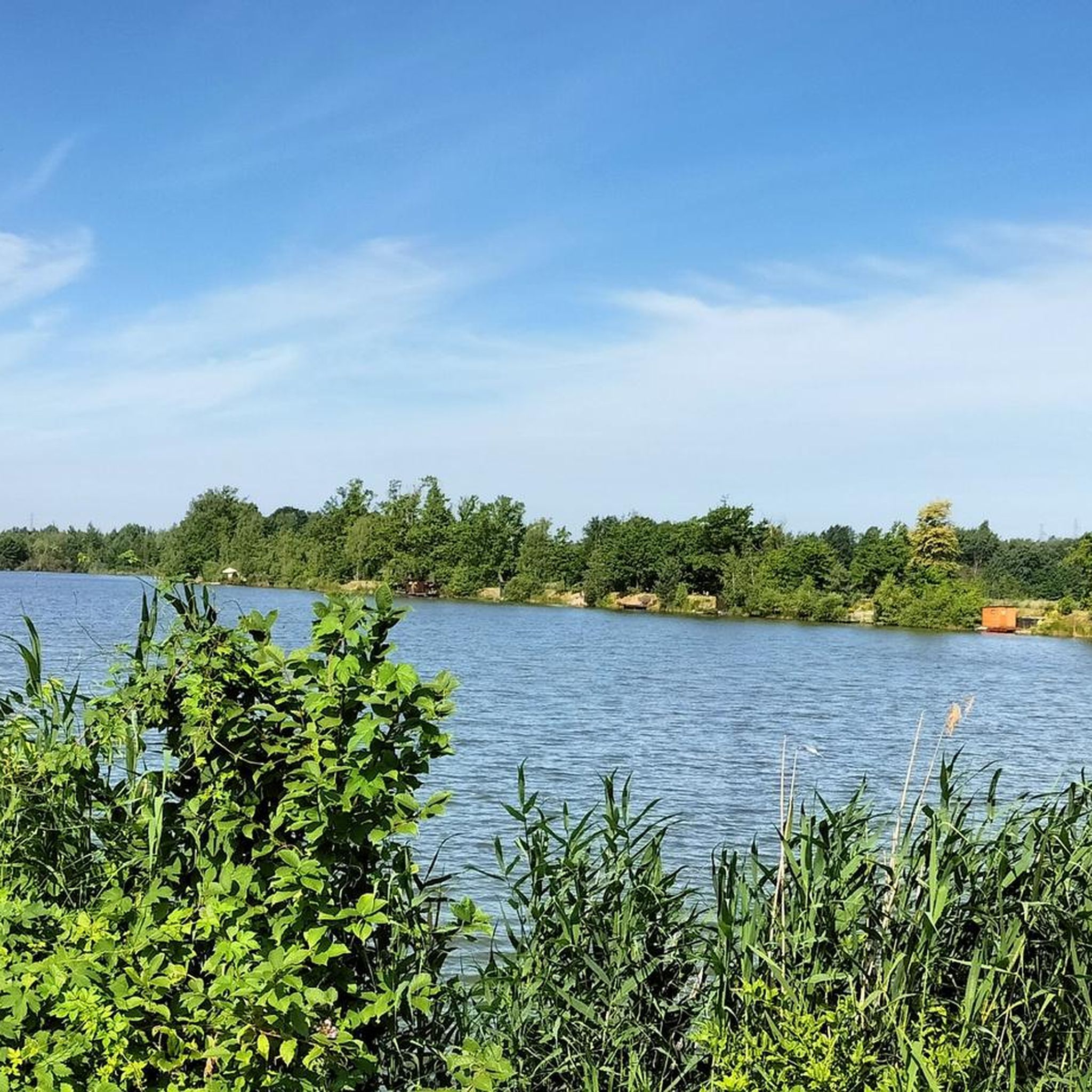
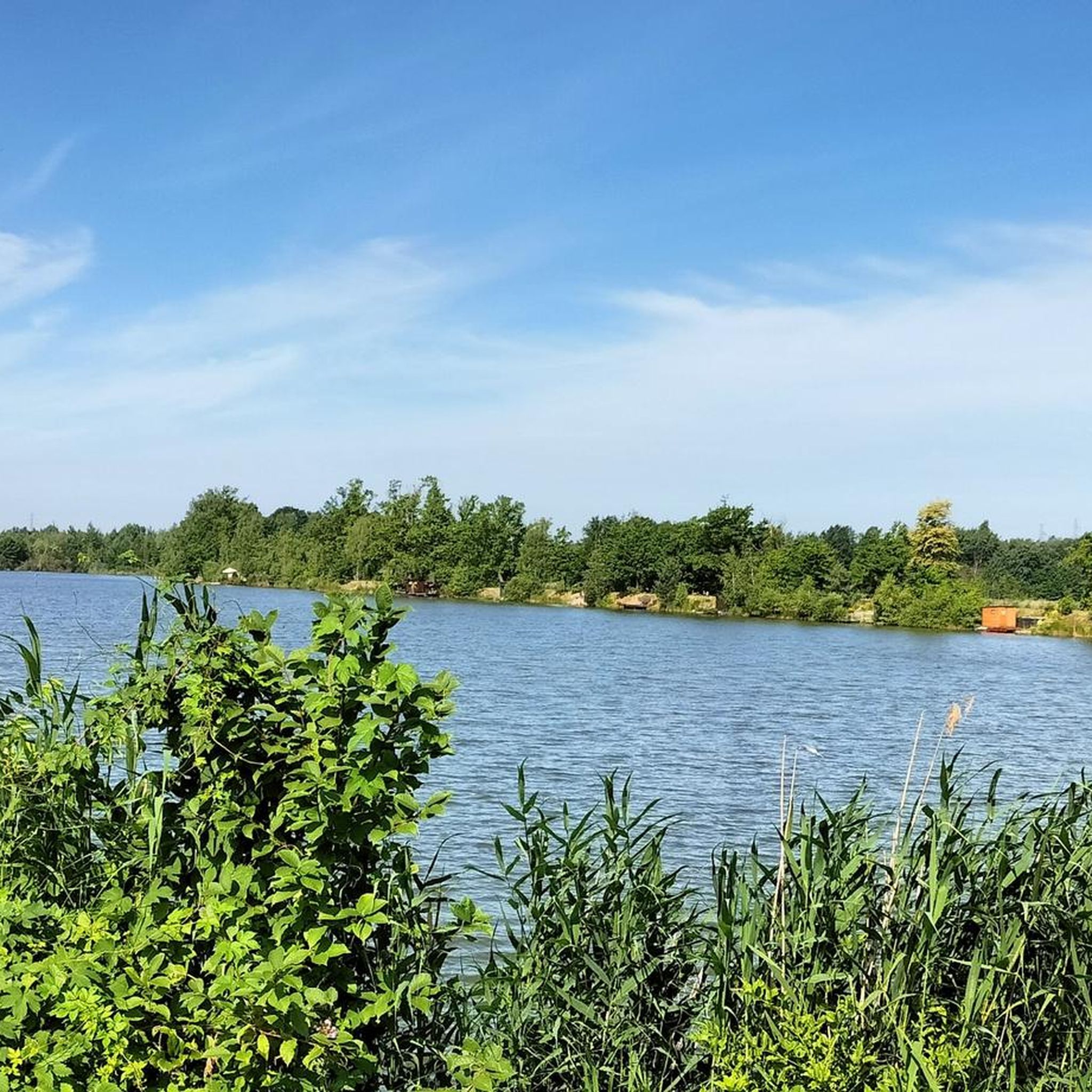

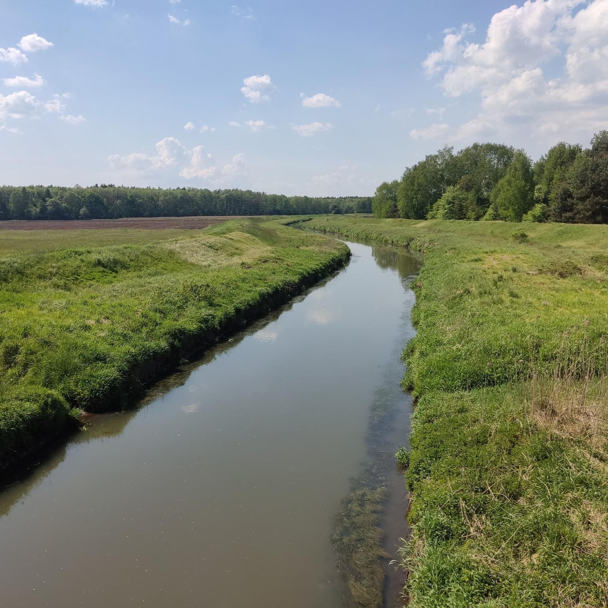
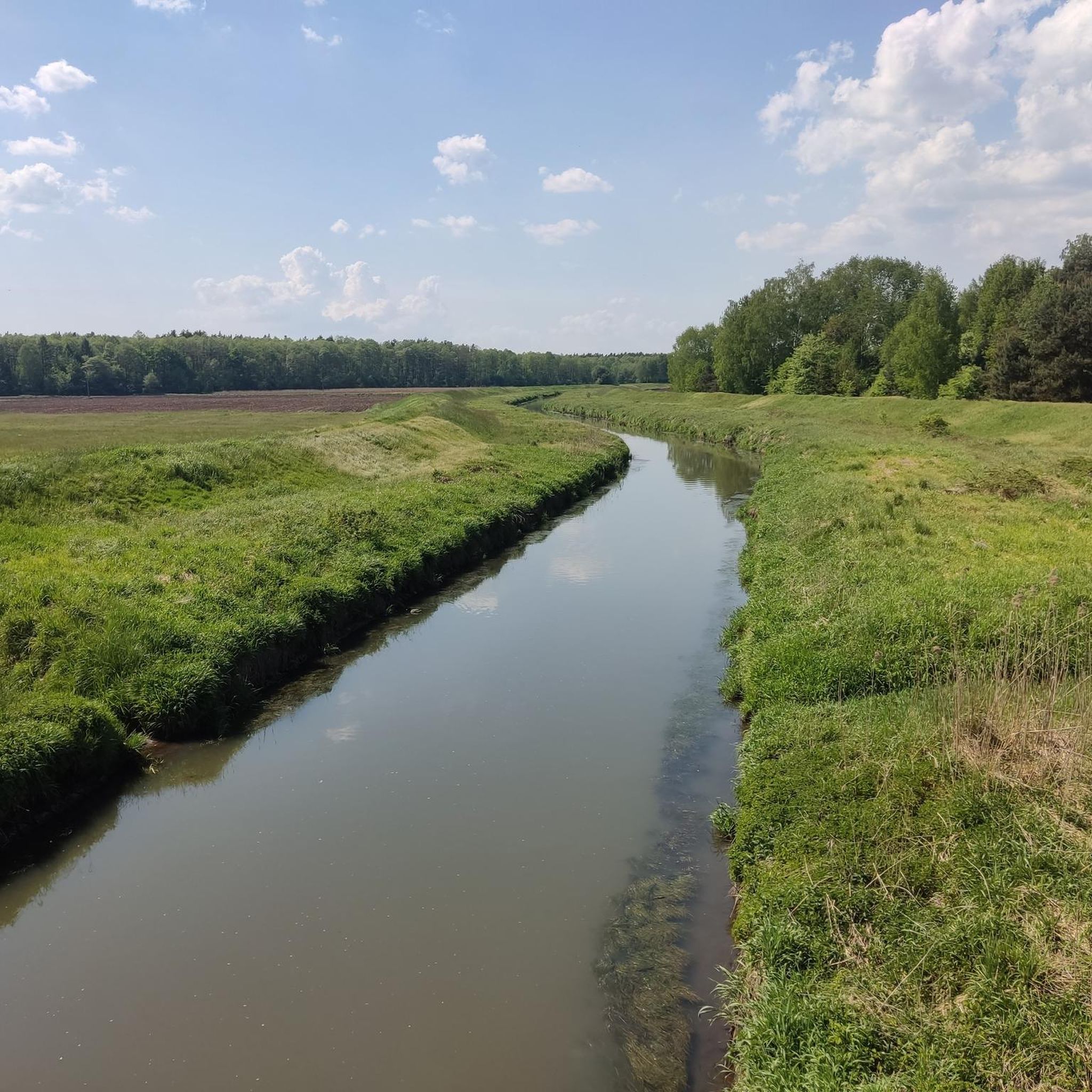
Tips from the Community

Monumental, late Baroque church of St. Clement from the years 1769–1772, rising to the top of Klimont Hill (302–305 m a.s.l.). It is the most famous symbol of Lędziny, visible even in the city's coat of arms. The temple stands on the site of former wooden churches (the oldest from the 12th century), and the hill itself was a pre-Christian place of Slavic worship (the so-called Górka Piorunowa). The approach to the church leads along a characteristic, paved avenue (Czesława Miłosza Street). From the top, there is a phenomenal, open panorama – with good visibility, you can admire the beautiful line of the Beskids from here. A must-see point of every trip around the Bieruń-Lędziny district!
1
0

Bridge over the river Sola for pedestrians and cyclists, narrow passage between the boundary pillars at the beginning and end of the bridge.
0
0
Finally, the pedestrian-cycle section with cobblestones has been handed over (but wouldn't smooth red ones have been better?)
1
0

The Castle in Oświęcim is a medieval defensive stronghold located on a hill on the right bank of the Soła River. Currently, the site is home to the Museum of the Castle in Oświęcim, which presents the rich history of the city, the former Duchy of Oświęcim, and valuable historical and archaeological collections. It was here that a great diplomatic turning point occurred: in 1454, the last Piast duke of this region, Jan IV, bowed to the might of Poland and ceded the castle and his entire duchy as a fief to King Casimir Jagiellon. Three years later (in 1457), he completely sold these lands to him. The castle ceased to be a Silesian borderland and became Polish royal property for centuries. It is worth taking a look at the mighty, 13th-century Gothic tower, which remembers those events and that agreement! The history of the castle in Oświęcim dates back to the 11th century, when there was an early medieval agricultural settlement on the hill above the Soła. After it burned down, a fortified castellany stronghold was erected here. The first official documentary mention of it dates from 1179. It was then that King Casimir the Just transferred these lands to the Duke of Opole, Mieszko Plątonogi. Early Gothic tower – dates from the end of the 13th century, it is a defensive building type (bergfried) and is one of the oldest preserved brick structures in Lesser Poland. Royal history – the castle hosted prominent historical figures, including the future Queen of Poland, Bona Sforza. Underground tunnels – there are two corridors under the castle, including an air-raid shelter built by the Germans during World War II. Address: ul. Zamkowa 1, 32-600 Oświęcim Opening hours: Tuesday to Sunday from 10:00 AM to 6:00 PM (the museum is closed on Mondays).
1
0
The Street Art Gallery in the underground passage (officially known as the „Art in the Underground” project) is an extremely spectacular point on the map of Tychy, located in a pedestrian-cycle tunnel under the DK1 route (Beskidzka Street) at the height of the Paprocany district. It is a must-stop (POI) to add to the Komoot app, which allows you to combine cultural immersion with a smooth bike ride.
1
0
Park Północny has a completely different atmosphere than St. Francis Park. It is much wilder, more naturalistic, and wooded. Its greatest attraction are three large fishponds (northern, central, and southern), which are a paradise for local waterfowl, amphibians, and unique vegetation (the protected water chestnut grows here, among other plants). The park's absolute highlight is a charming island on one of the ponds, accessed by a modern wooden footbridge (pier) and a Roman pavement. It's an ideal spot, isolated from the hustle and bustle, for a short rest on the route. In the area of Elfów and Edukacji streets, you will also find characteristic red architectural frames serving as original benches that frame the views of the greenery.
0
0
The revitalized, historic heart of the city, officially known as Farski Square. It is the ideal place for a short rest during a bike or walking tour. The square's name comes from the former parish church (rectory), around which this charming market square was created. It is worth stopping here by the fountain, seeing the characteristic Bell Tower Gate, and the historic building of the current library. Around the square, you will find benches, shade from trees, and local shops where you can easily replenish your supplies for the rest of your route.
1
0
New road and pedestrian-cycle viaduct over the newly built section of the S1 expressway at the junction of Bijasowicka and Peryferyjna streets. Passable, but still undergoing finishing works.
1
0
Frequently Asked Questions
How many road cycling routes are available around Bojszowy?
There are over 250 road cycling routes in the Bojszowy area, offering a wide range of options for different skill levels and preferences. You'll find everything from easy, flat rides to more moderate challenges.
Are there easy road cycling routes suitable for beginners or families in Bojszowy?
Yes, Bojszowy features numerous easy routes, with 73 specifically categorized as such. The terrain is generally flat to gently rolling, especially along the Vistula River. An excellent option is the Wałowa Street (Along the Vistula River) – Gas Station loop from Wola, an easy 24.2-mile (39.0 km) path that follows the river.
What is the typical length of road cycling routes around Bojszowy?
Routes in Bojszowy vary in length, but many are well-suited for enjoyable day trips. For example, the popular Huta Paprocka Restaurant – GRAMY Ice Cream Parlor loop from gmina Bojszowy is 30.1 miles (48.4 km), while the Gravel Connector – Wooden Bridge over the Vistula loop from Wola Osiedle II covers 24.7 miles (39.8 km).
Are there any advanced road cycling routes for experienced cyclists?
While the region is known for its generally flat to gently rolling terrain, there are 12 routes categorized as difficult for those seeking more of a challenge. These routes may feature longer distances or slightly more varied elevation, though significant climbs are rare due to the riverine landscape.
What kind of scenery can I expect on road cycling routes in Bojszowy?
Road cycling around Bojszowy is characterized by riverine paths, open landscapes, and views alongside the Vistula River. Many routes offer scenic stretches through local municipalities and past natural areas. The Wałowa Street (Along the Vistula River) – Gas Station loop from Wola is a great example, providing continuous views of the waterway.
Are there any circular road cycling routes in the Bojszowy area?
Yes, many of the road cycling routes in Bojszowy are circular, allowing you to start and end at the same point. The Huta Paprocka Restaurant – GRAMY Ice Cream Parlor loop from gmina Bojszowy is a popular circular journey, as is the Gravel Connector loop from Świerczyniec, which covers 33.5 miles (53.9 km).
What do other road cyclists enjoy most about road cycling in Bojszowy?
The road cycling routes in Bojszowy are highly rated by the komoot community, with an average score of 4.7 stars from over 200 reviews. Cyclists often praise the well-maintained paths, the peaceful riverine scenery, and the accessibility of routes for various skill levels.
What are some interesting landmarks or attractions I can see near the road cycling routes?
The Bojszowy area offers several points of interest. You could cycle near the historic Pszczyna Castle or the charming Promnice Hunting Palace. For those interested in infrastructure, the Railway Bridge and Footbridge over the Gostynia Stream is also nearby. Many routes also pass by the Paprocany Kayak Marina.
Are there any routes that follow dedicated cycle paths?
Yes, the region benefits from sections of dedicated cycling infrastructure. The Vistula Cycling Route WTR Oświęcim–Miętków is a notable cycle way that passes through the broader area, offering well-marked and often traffic-free sections for road cyclists.
What is the best time of year for road cycling in Bojszowy?
The most pleasant times for road cycling in Bojszowy are typically spring and autumn, when temperatures are mild and the natural scenery is vibrant. Summer also offers good conditions, though it can be warmer. Winter cycling is possible, but conditions may vary, with potential for colder temperatures and occasional snow or ice.
Are there any routes that lead to places where I can get refreshments or ice cream?
Yes, some routes are designed to pass by local eateries or cafes. The popular Huta Paprocka Restaurant – GRAMY Ice Cream Parlor loop from gmina Bojszowy explicitly mentions a restaurant and an ice cream parlor in its name, suggesting convenient stops for refreshments along the way.
How long does it typically take to complete a road cycling route in Bojszowy?
Completion times vary depending on the route length and your pace. For instance, the 30.1-mile Huta Paprocka Restaurant – GRAMY Ice Cream Parlor loop from gmina Bojszowy typically takes about 2 hours, while the 24.7-mile Gravel Connector – Wooden Bridge over the Vistula loop from Wola Osiedle II can be completed in about 1 hour 38 minutes.
Most popular routes around Bojszowy
Most popular attractions around Bojszowy

Get inspired with the komoot mobile app


Explore more
Browse the best Road cycling routes in other regions.
