The best mountain hikes around Budinšćina
20
hikers
5
hikes
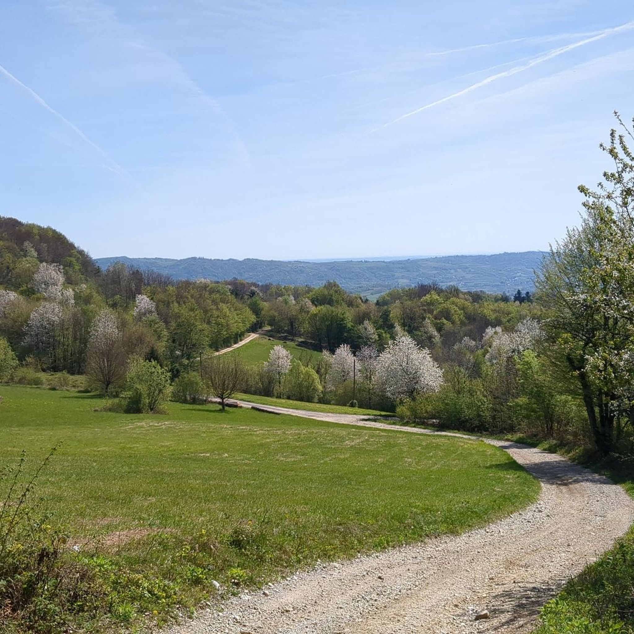
Mountaineering around Budinšćina, located in Krapina-Zagorje County in northern Croatia, is primarily centered around Ivanščica Peak, which reaches 1060 m. The region features challenging trails and scenic landscapes, characterized by significant elevation changes and varied terrain. This area provides access to a network of routes that ascend through dense woodlands to panoramic viewpoints.
Best mountaineering routes around Budinšćina
- The most popular mountaineering route is Veliki Konj – Ivanščica loop from Ivanščica, a 3.8 miles (6.1 km) trail that takes…
Last updated: July 5, 2026
7
hikers
6.05km
03:23
610m
610m
Moderate mountaineering route. Good fitness required. Mostly accessible paths. Sure-footedness required.
8
hikers
7.83km
03:41
580m
580m
Moderate mountaineering route. Good fitness required. Mostly accessible paths. Sure-footedness required.

Sign up for free
4
hikers
8.28km
03:58
610m
610m
Moderate mountaineering route. Good fitness required. Mostly accessible paths. Sure-footedness required.
2
hikers
7.48km
02:38
440m
440m
Moderate mountaineering route. Good fitness required. Easily-accessible paths. Suitable for all skill levels.
1
hikers
Moderate mountaineering route. Good fitness required. Mostly accessible paths. Sure-footedness required.
Our route recommendations are based on thousands of hikes, rides, and runs completed by other people on komoot.
Start today with a free account
Your next adventure awaits.
Login or Signup
Tips from the Community

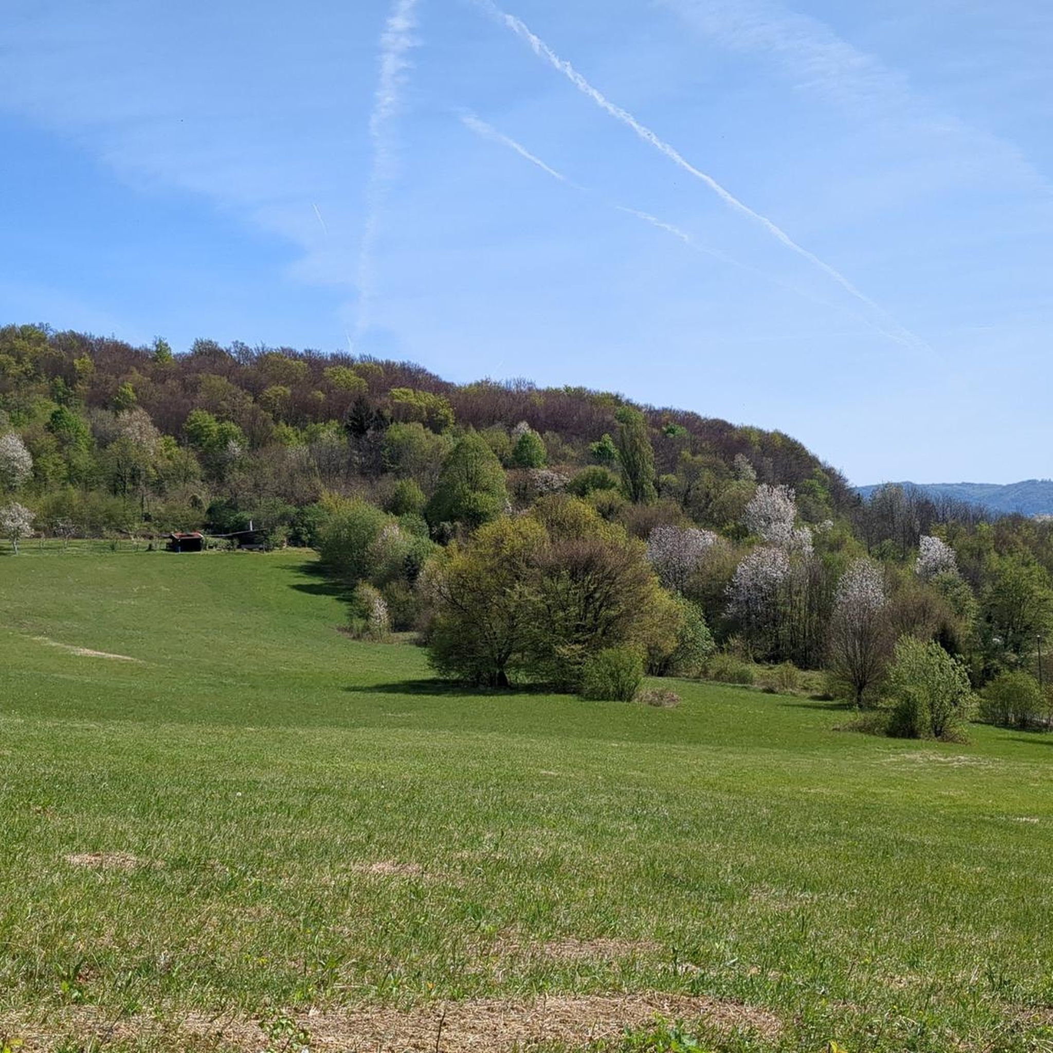
Quiet and shaded forest spot on Ivanšćica. The name “Črne mlake” roughly means “black ponds”, which gives the place a slightly mysterious feel. According to local legend, witches used to gather here.
0
0

The mountain lodge is open on Fridays from 3 pm :(
0
0

The path up and down was very, very steep, and on the way down, there were some slippery slopes. The hut at the top is only open on weekends and public holidays (and probably also on the day before a holiday). Good fitness is required.
1
0

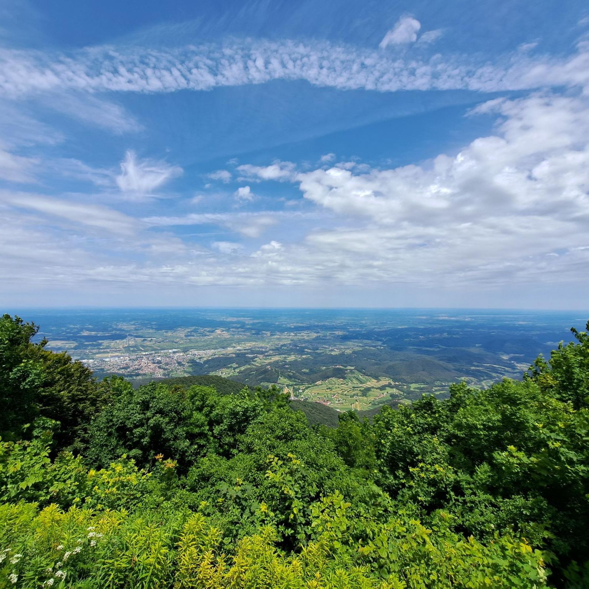
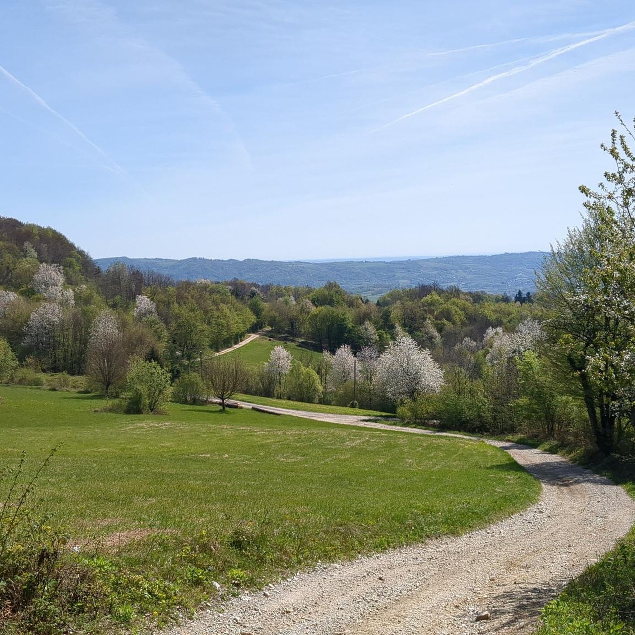
Discover the hidden gem at Pionir and witness the breathtaking panorama of Ivanscica Peak and the enchanting northern landscapes of Varazdinska zupanija. A vista that whispers tales of nature's grandeur and invites you to savor the beauty of Croatia's rich landscapes. Lace up your hiking boots, embrace the journey, and let Pionir unveil the magic of Ivanscica in all its glory.
0
0

The place where pain and tears combine to produce a greater sense of despair.
0
0

Keep in mind that very cold winds blow in winter. And it can be fresh in the summer as well.
3
0
The church is a single-nave longitudinal building with a polygonal sanctuary. It was built in the early 15th century and thoroughly restored after an earthquake in the 18th century. A sacristy was added on the north side of the church, and a Renaissance bell tower on the south side. The church is surrounded by a baroque cinquefoil that has the shape of an irregular octagon.
2
0
The Baroque-Classicist single-nave church is located along the main road in the village of Lobor. The church, outside the polygonal shape, consists of a rectangular nave, a flat-closed sanctuary, a strong bell tower that emerges from the church building in front of the main façade and a sacristy south of the sanctuary. It was built in the period 1807-1830. g. With its unusual design of the outer walls, it represents a model of a new architectural solution in Hrvatsko zagorje. The house of the parish court is located on a hill, east of the parish church. It was built in 1803 according to the simplified late Baroque tradition of building parish mansions. With its dominant position over the settlement and simplicity of design, it achieves a high ambient value.
1
0
Frequently Asked Questions
What is the general difficulty level of mountaineering routes around Budinšćina?
The mountaineering routes featured in this guide around Budinšćina are all classified as moderate. While they offer significant elevation changes and varied terrain, they are generally accessible to those with a reasonable level of fitness.
Are there any circular mountaineering routes in the Budinšćina area?
Yes, several excellent circular routes are available. For instance, the Veliki Konj – Ivanščica loop from Ivanščica is a popular choice, covering 6.1 km with a rewarding ascent. Another option is the Stričevo loop from Ivanščica, which is 7.8 km long and leads to panoramic views.
What kind of views can I expect on the mountaineering trails near Budinšćina?
The trails offer stunning panoramic views, especially from higher elevations. You can enjoy expansive vistas towards the north, encompassing areas like Ivanec, Varaždin, and the Međimurje region. Key viewpoints include the Stričevo Observation Deck and the View from Pionir, Ivanščica, which provides a breathtaking panorama of Ivanščica Peak itself.
Are there any mountain huts or resting points along the routes?
Yes, the Pasarićeva Kuća Mountain Hut is a popular resting point situated near the peak of Ivanščica. It's a great spot to take a break and enjoy local delicacies, especially on weekends.
Can I find any historical landmarks or ruins on the mountaineering trails?
Absolutely. The Milengrad Castle Ruins are a notable historical site within the municipality. These ruins offer historical interest alongside scenic views, overlooking the entire eastern Zagorje and parts of Varaždin County.
Are there any waterfalls to see near the mountaineering routes?
Yes, you can find the Small Waterfalls at the Foot of Mount Ivanščica. These provide a refreshing natural feature to explore, particularly if you're looking for points of interest beyond the main peaks.
What is the best time of year for mountaineering in Budinšćina?
While specific seasonal recommendations aren't provided, the region's trails are generally enjoyed from spring through autumn. Some paths can be steep and potentially slippery on descent, so good weather conditions are advisable. Winter mountaineering would require appropriate gear and experience due to snow and ice.
How many mountaineering routes are available in this guide for Budinšćina?
This guide features 5 distinct mountaineering routes around Budinšćina, all offering a moderate challenge and showcasing the region's beautiful landscapes.
What do other komoot users say about mountaineering in Budinšćina?
Over 20 mountaineers have used komoot to explore Budinšćina's varied terrain. Users often praise the well-marked trails, the rewarding ascents to Ivanščica Peak, and the stunning panoramic views from various observation points.
Are there any longer mountaineering routes for more experienced hikers?
For those seeking a longer challenge, the Ivanščica – Veliki rok loop from Ivanščica is a good option. It covers approximately 8.8 km and involves a significant elevation gain of over 660 meters, typically taking around 4 hours and 8 minutes to complete.
Is it possible to reach the trailheads using public transport?
Information regarding specific public transport options directly to all trailheads is limited. It is generally recommended to check local bus schedules or consider driving to access the starting points for mountaineering routes around Budinšćina.
Are there specific parking areas for mountaineers near the trails?
While specific parking details for every trailhead are not listed, popular starting points for Ivanščica trails, such as those near Ivanščica itself, typically have designated parking areas. It's advisable to check the route details on komoot for specific parking recommendations for each tour.
Most popular attractions around Budinšćina

Get inspired with the komoot mobile app


Explore more
Browse the best Mountain Hikes & Routes in other regions.
