The 20 Most Amazing Peaks around Vaihingen an der Enz
Best mountain peaks around Vaihingen an der Enz are found within the "Land der 1000 Hügel" in the Kraichgau-Stromberg region. This area features elevated points ranging from 200 to 450 meters, offering diverse landscapes. While not traditional towering mountains, these elevated areas provide opportunities for hiking and enjoying expansive views. The region is characterized by rolling hills, vineyards, and forests, making it suitable for various outdoor activities.
Best mountain peaks around Vaihingen an der Enz
- The most popular mountain peaks is Grüner Heiner Viewing Platform, a viewpoint that offers a unique 360-degree all-round view. This artificial hill, formed from construction debris, has become a popular local attraction with numerous benches for resting.
- Another must-see spot is Hohenasperg Fortress, a castle and viewpoint. This historic site, visible from afar, has served as a prison since the 18th century and now houses a museum.
- Visitors also love View from Derdinger Horn, a viewpoint offering excellent distant views across the Kraichgau region. This area provides information about viticulture and includes resting places, some with playgrounds.
- Vaihingen an der Enz is known for its viewpoints, summits, and natural monuments. The region offers a variety of elevated spots to explore, from artificial hills to the highest points in local ranges.
- The mountain peaks around Vaihingen an der Enz are appreciated by the komoot community, with over 1100 upvotes and more than 800 photos shared by visitors.
Last updated: July 6, 2026
Grüner Heiner Viewing Platform
Highlight • Viewpoint
Translated by Google •
Tip by

Hohenasperg Fortress
Highlight • Castle
A museum gives insights into the lives of 23 inmates from three
Centuries and shows why they were imprisoned. The House of History Baden-Württemberg has set up the impressive exhibition at this historic location. The museum is open from April to October, from Thursday to Sunday. For the entrance you pay four euros. Further information about the museum can be found here: hdgbw.de/ausstellungen/hohenasperg.
Translated by Google •
Tip by

Sign up now to discover places like this
Get recommendations on the best single tracks, peaks, & plenty of other exciting outdoor places.
Sign up for free
View from Derdinger Horn
Highlight • Viewpoint
Translated by Google •
Tip by
Michaelsberg, Cleebronn
Highlight • Summit
Translated by Google •
Tip by

Engelberg Tower, Leonberg
Highlight • Monument
Please check the opening times on the website of the city of Leonberg. From May to October it is usually open on Sundays and public holidays between 9 a.m. and 5 p.m.
Translated by Google •
Tip by

Sign up for free to discover even more peaks around Vaihingen an der Enz.
Sign up for free
Already have an account?
Start today with a free account
Your next adventure awaits.
Login or Signup
Popular around Vaihingen an der Enz
The Stromberg Murrtal Bike Path – 7 stages of nature and culture
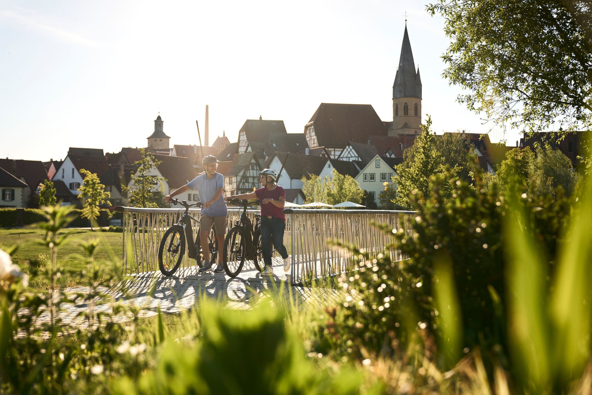
Half-timbered houses and superb cycling tours – the best of the South
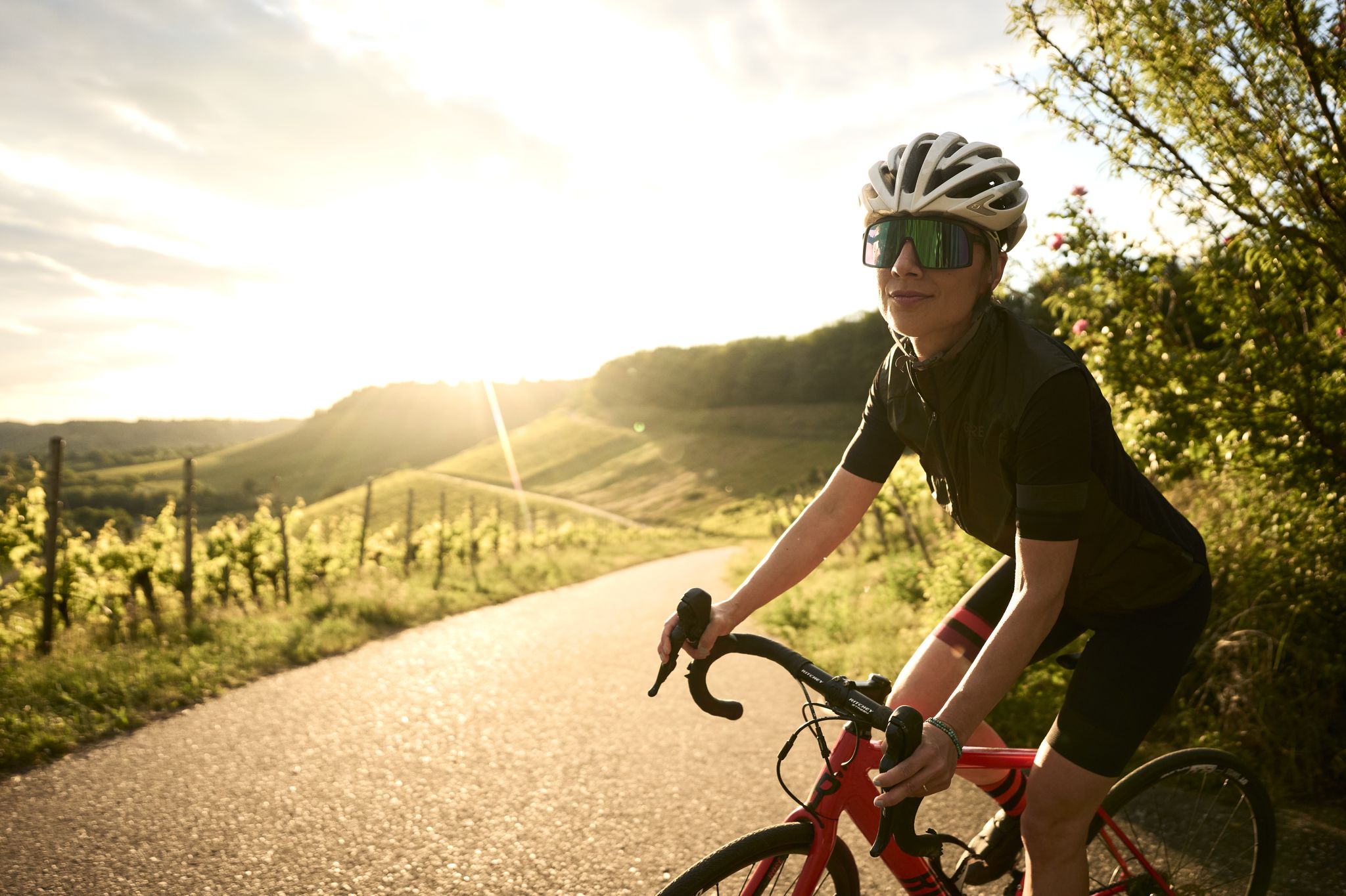
A passion for road cycling in the Land of 1,000 Hills
Trail running between woodlands & wine in the Land of 1000 Hills

Oases of calm – hill sofas in the land of 1,000 hills
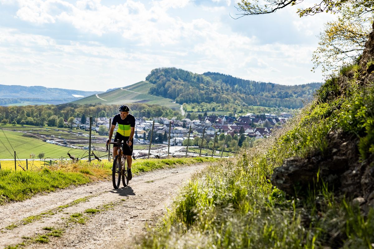
German city hopping: bikepacking in land of 1,000 hills
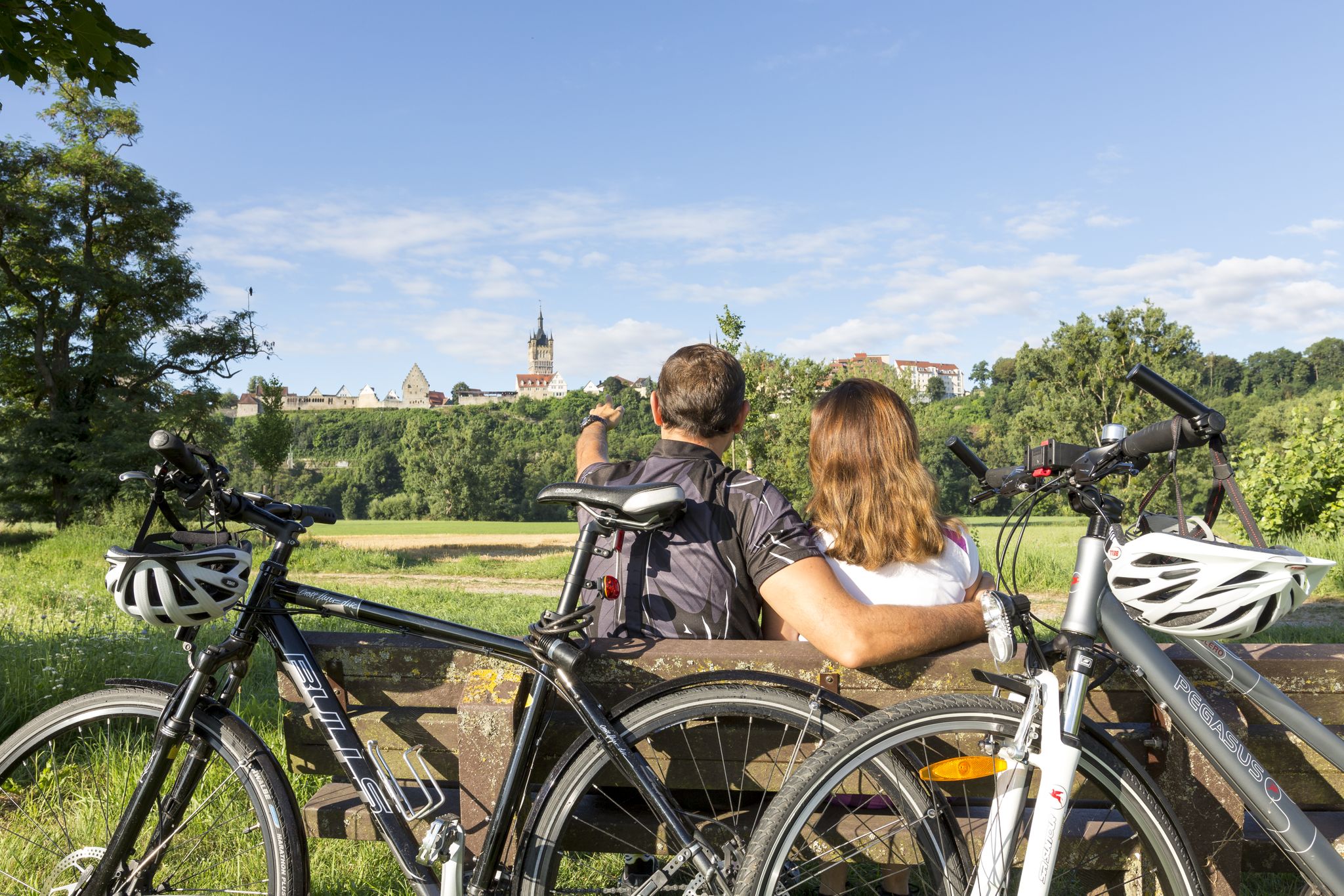
ADFC Rems-Murr: Multi-day tours
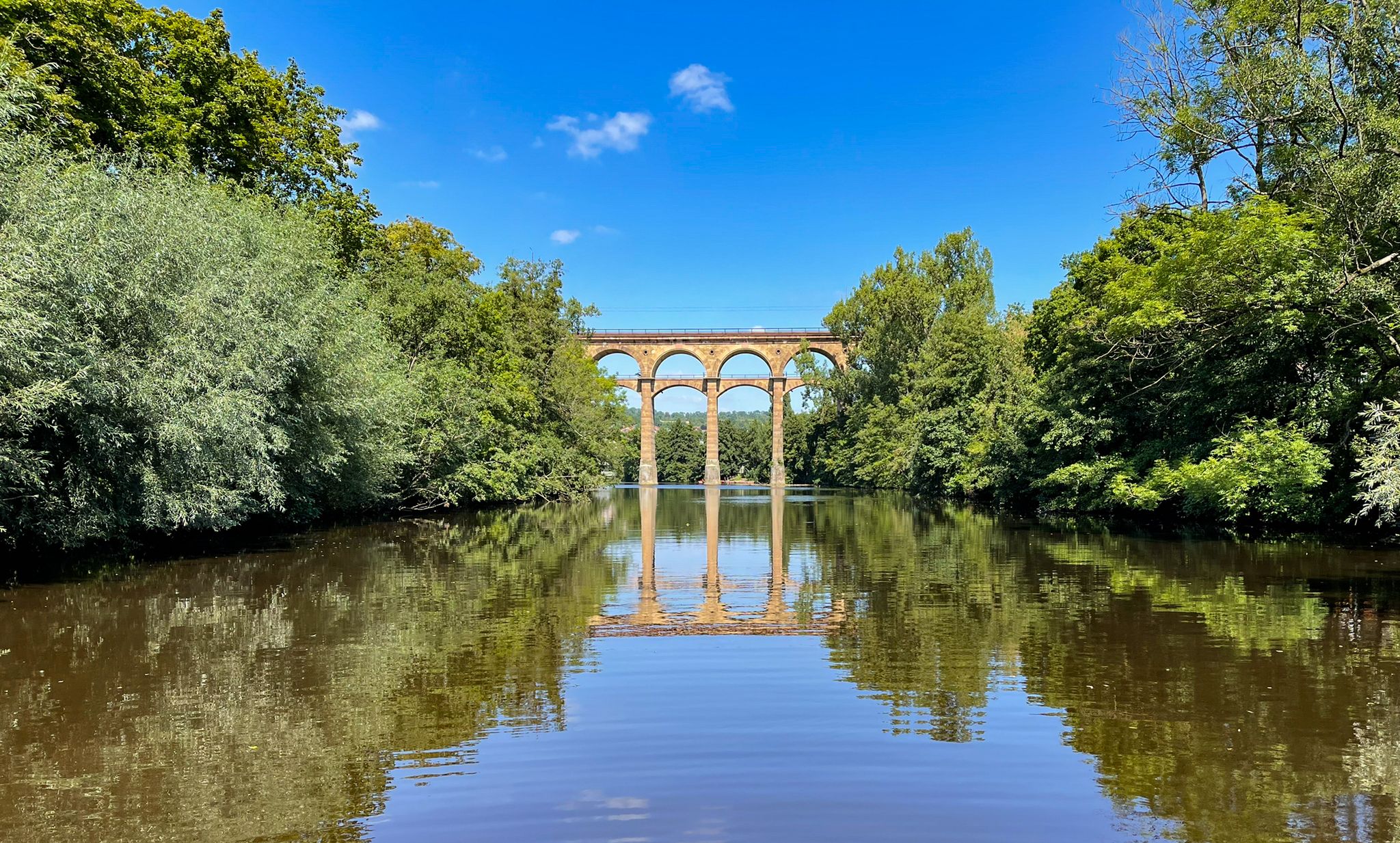
The Stromberg Murrtal Bike Path – 7 stages of nature and culture
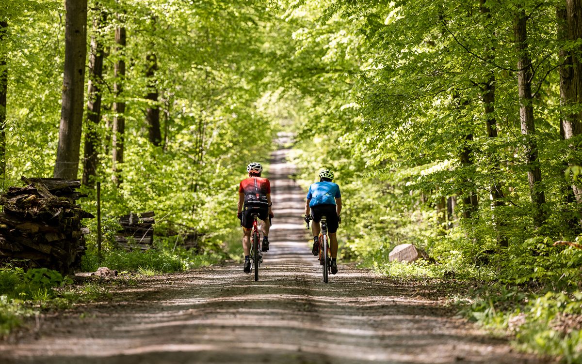
Gravel biking through the land of 1,000 hills – Kraichgau-Stromberg in Germany

Spring in the land of 1,000 hills – Kraichgau-Stromberg in Germany
Other adventures around Vaihingen an der Enz


Tips from the Community

Looks like the little brother of the big Engelberg tower
7
1
Unfortunately, Leonberg's landmark is only open on Sundays and public holidays from May 1st to October 31st, from 9:00 a.m. to 5:00 p.m., which is a real shame! ☹️ You can also visit outside of these hours. If you know in advance, you should call the number provided in the photo.
7
1

The hill was artificially raised in the 1950s, mainly using large amounts of rubble. The new hill that was created was initially called Heiner by the locals and soon became a destination for excursions. After it was overgrown with grass and other vegetation, the new conical hill was given the new nickname Green Heiner because of its more pleasing appearance. It owes its popularity in particular to the good view in clear weather.
11
0

Since it does not rise above the treetops, it cannot be seen from the city
12
1
The large Engelberg Tower is one of Leonberg’s landmarks
11
2
The tower on the 480.60 m high Engelberg is 34.70 m high and 7.90 m in diameter. The now empty water tank on the fourth floor has a capacity of 72 m³. 123 steps lead up to the viewing platform on the fifth and top floor. Source: https://www.leonberg.de/Kultur-Sport-Tourismus/Tourismus/Sehenswertes/Engelbergturm/ From May to October the tower can be visited free of charge on every Sunday and public holiday.
12
1
The small Engelberg tower was rebuilt - probably in 1674 - on the site of its dilapidated predecessor. In times of war, the Hochwachttum was manned by guards who had a line of sight down to the city from Engelberg, which had long been unforested. It was not until 1928 that the significantly higher Engelberg Tower was built as a water and observation tower. Until 1982 it served as an elevated water tank. It has retained its function as a lookout tower to this day. You can also get married in this special place. Before that, however, the bride and groom have to climb 123 steps. By the way, the Engelberg owes its beautiful name to its geographical location. It lies at the end of the ridge that runs northwest from Stuttgart. That's why the Engelberg was originally called "Endelberg" (Endberg) until the 16th century. Source: https://www.leonberg.de/smaller-Engelbergturm
12
2
From above there is a unique 360-degree all-round view. Many benches, some with tables, are located all over the mountain and invite you to take a break.
15
1
Frequently Asked Questions
What are some of the most popular elevated points or "peaks" to visit around Vaihingen an der Enz?
The region, known as the "Land der 1000 Hügel," offers several notable elevated points. Among the most popular are the Grüner Heiner Viewing Platform, which provides a unique 360-degree view, and the View from Derdinger Horn, offering excellent distant views across the Kraichgau region. Another significant site is Hohenasperg Fortress, a historic castle and viewpoint.
What kind of views can I expect from the elevated points in the region?
You can expect expansive panoramic views across the surrounding "Land der 1000 Hügel." From the Grüner Heiner Viewing Platform, you get a 360-degree all-round view. The View from Derdinger Horn offers excellent distant views over the Kraichgau and even the Odenwald on clear days, showcasing vineyards and the beautiful landscape. Michaelsberg, Cleebronn provides impressive views of vineyards, the Neckarland, and into the Zabergäu, with visibility extending to the Königstuhl, Katzenbuckel, Löwensteiner mountains, and the Swabian Alb in good weather.
Are there any unique natural or man-made features among the elevated points?
Yes, the region features both. The Grüner Heiner Viewing Platform is an artificial hill, originally formed from construction debris, that has become a popular local attraction. The Baiselsberg is notable as the highest point in the Stromberg region, though it's primarily known for its downhill trails rather than views from the summit itself.
Are there any historical sites among the elevated points?
Absolutely. Hohenasperg Fortress is a significant historical site that has served as a prison since the 18th century and now houses a museum. Michaelsberg, Cleebronn also has a rich history, with remains dating back to Celtic and Roman times, and features the Romanesque Michaelskirche and buildings of a former Capuchin monastery.
Are there family-friendly elevated points or activities suitable for children?
Several elevated points are suitable for families. The Grüner Heiner Viewing Platform has numerous benches, some with tables, perfect for resting. The View from Derdinger Horn includes resting places, some with playgrounds, making it ideal for families. Hohenasperg Fortress also offers a museum that can be an educational experience for older children.
What outdoor activities can I do near these elevated points?
The region around Vaihingen an der Enz is excellent for various outdoor activities. You can find numerous hiking routes, including moderate trails like the Enzschleifen-Rundweg. For cyclists, there are extensive road cycling routes and gravel biking trails that traverse the rolling hills and vineyards.
Are there hiking trails near the elevated points around Vaihingen an der Enz?
Yes, there are many hiking opportunities. You can explore trails like the Enzschleifen-Rundweg or the See- und Wald-Rundweg, which offer moderate difficulty and varying lengths. These trails often pass by or offer views of the elevated points. For more options, check out the hiking guide for Vaihingen an der Enz.
What kind of cycling opportunities are there near the elevated points?
The area is well-suited for cycling. You can find numerous road cycling routes, such as the Würmtal Scenic Road or routes exploring vineyards. For those who prefer off-road adventures, there are also gravel biking trails, including the Streitbach Tour in the Kraichgau-Stromberg region.
What is the best time of year to visit the elevated points around Vaihingen an der Enz?
The region is enjoyable throughout much of the year. Spring and autumn offer pleasant temperatures for hiking and cycling, with vibrant colors in the vineyards and forests. Clear days are particularly recommended for visiting viewpoints like the View from Derdinger Horn to maximize the distant views.
What do visitors enjoy the most about the elevated points in Vaihingen an der Enz?
Visitors particularly appreciate the impressive and expansive views from various vantage points. The unique character of places like the Grüner Heiner Viewing Platform, with its 360-degree panorama and benches for relaxation, is highly rated. The combination of natural beauty, historical significance, and recreational activities like hiking and cycling also contributes to a fulfilling experience.
Are there any elevated points known for viticulture or vineyards?
Yes, the region is known for its viticulture. The area around the View from Derdinger Horn provides information about winegrowing, and you can enjoy beautiful views over the vineyards. Similarly, Michaelsberg, Cleebronn offers great views of the surrounding vineyards and the Neckarland.
Most popular routes around Vaihingen an der Enz
Most popular attractions around Vaihingen an der Enz

Get inspired with the komoot mobile app


Explore more
See even more amazing summits around Vaihingen an der Enz with these guides:
