The best cycling routes in Santiam State Forest
4.0
(1)
10
riders
4
rides
Touring cycling in Santiam State Forest features a landscape dominated by dense coniferous forests and rolling hills, characteristic of the western Cascade foothills. The terrain includes a mix of paved and unpaved roads, with several routes incorporating gravel paths and significant elevation changes. This region offers a variety of routes that traverse forested areas and provide access to scenic viewpoints.
Best touring cycling routes in Santiam State Forest
- The most popular touring cycling route is Tom Rock Gravel loop,…
Last updated: July 8, 2026
50.3km
05:05
1,080m
1,080m
Embark on the Tom Rock Gravel loop for a challenging touring cycling adventure deep within the Santiam State Forest. This difficult route spans 31.2 miles (50.3 km) and demands a…
45.6km
04:56
1,040m
1,040m
Embark on a demanding gravel cycling experience around the Table Rock Wilderness, where you'll navigate through a quiet forest of Douglas fir and western hemlock, often described as an "island…

Sign up for free
4.0
(1)
7
riders
8.18km
00:39
110m
110m
Embark on an easy touring cycling adventure along the Rim Trail Loop, a pleasant 5.1-mile (8.2 km) route through Silver Falls State Park. You will pedal through lush forest environments,…
3
riders
14.6km
00:55
140m
140m
Easy bike ride. Great for any fitness level. Mostly paved surfaces. Suitable for all skill levels.
Our route recommendations are based on thousands of hikes, rides, and runs completed by other people on komoot.
Start today with a free account
Your next adventure awaits.
Login or Signup
Popular around Santiam State Forest
Tips from the Community

Table Rock is a 4,881-foot peak and the heart of Table Rock Wilderness. Its iconic flat top, resembling a table, earned it the name "Table Rock." The columnar basalt formations on the north face reveal the solidified lava in a unique, geometric pattern.
0
0
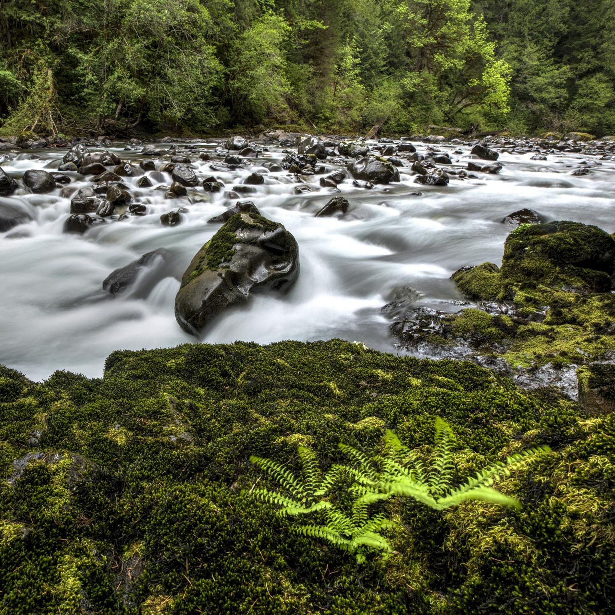
Surrounded by stunning scenery, characterized by high rock walls, dense forests. The views from this place are simply spectacular, especially during sunrise and sunset. Its surroundings are home to a rich diversity of wildlife.
0
0

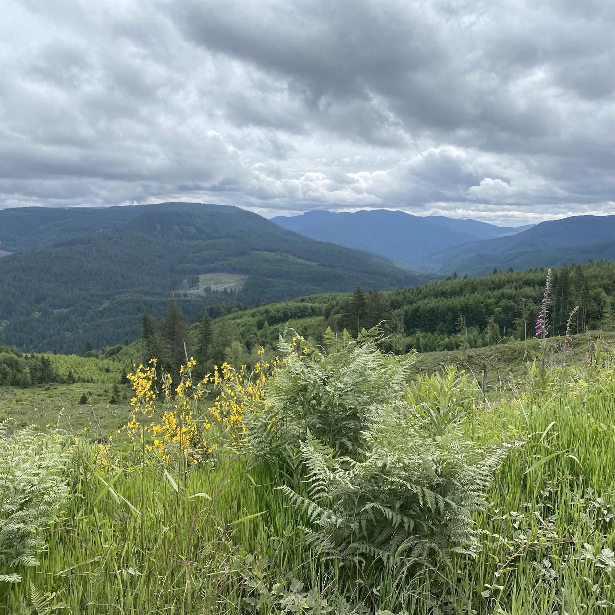
The peak of the primary loop of roads through the forest that provides a 360 degree viewpoint over the forest and of the Cascade peaks and foothills.
0
0
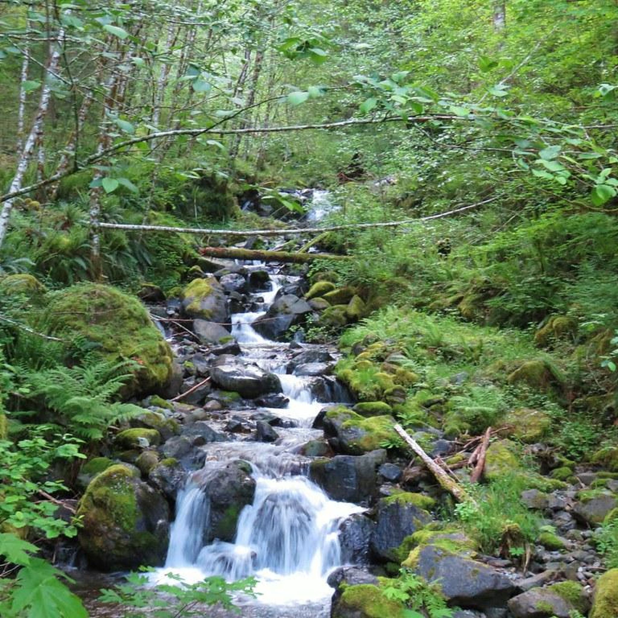
The Santiam State Forest is 47,871 acres in size on the western slopes of the Cascade Mountains. The forest has a number logging roads running through it which provides a loop that takes you through the forest, past streams, and viewpoints. The roads are mostly gravel and make for a challenging and somewhat quiet and remote route.
0
0

Silver Falls State Park is Oregon's largest state park. There are multiple waterfalls in the park that can be accessed by the park's many paths. There is a 4 mile paved bike path that goes through temperate rainforest and some beautiful meadows.
0
0
Frequently Asked Questions
How many touring cycling routes are available in Santiam State Forest?
There are 4 touring cycling routes documented in Santiam State Forest on komoot, offering a variety of experiences from easy loops to challenging gravel rides.
Are there any easy touring cycling routes suitable for beginners or families in Santiam State Forest?
Yes, Santiam State Forest offers 2 easy touring cycling routes. The Rim Trail Loop is a shorter option at 5.1 miles, while the Shea Point loop from Greenhorn Hill provides a slightly longer, accessible ride.
What are the more challenging touring cycling routes in Santiam State Forest?
For experienced touring cyclists seeking a challenge, there are 2 difficult routes. The Tom Rock Gravel loop spans 31.2 miles with significant climbs, and the Table Rock Wilderness gravel loop is a demanding 28.3-mile ride through forested terrain.
Are there any circular touring cycling routes in Santiam State Forest?
Yes, several routes are designed as loops. Examples include the challenging Tom Rock Gravel loop and the easier Rim Trail Loop, allowing you to start and finish at the same point.
What kind of terrain can I expect on touring cycling routes in Santiam State Forest?
The terrain in Santiam State Forest is characterized by dense coniferous forests and rolling hills, typical of the western Cascade foothills. Routes often feature a mix of paved and unpaved roads, including extensive gravel sections and significant elevation changes, especially on more difficult tours.
What are some notable natural attractions or viewpoints along the touring cycling routes?
While specific viewpoints directly on the cycling routes are not detailed, the Santiam State Forest region is home to several beautiful natural attractions. You can explore stunning waterfalls like Abiqua Falls, Lower Butte Creek Falls, and Shellburg Falls. There's also the unique Natural Rock Arch to discover.
What is the best time of year for touring cycling in Santiam State Forest?
The best time for touring cycling in Santiam State Forest is generally from late spring through early fall (May to October) when the weather is milder and drier. During winter, conditions can be wet and cold, with potential for snow at higher elevations, making some gravel sections more challenging or impassable.
Are there any specific considerations for winter touring cycling in Santiam State Forest?
Winter touring cycling in Santiam State Forest can be challenging due to colder temperatures, increased rainfall, and potential snow or ice, especially on unpaved and higher elevation sections. It's advisable to check local weather forecasts, be prepared for varied conditions, and consider routes that are less exposed or lower in elevation.
What should I know about parking for touring cycling routes in Santiam State Forest?
While specific parking areas for each route are not detailed, Santiam State Forest is managed by the Oregon Department of Forestry. Visitors typically find parking at designated trailheads or forest access points. Always check for any posted regulations or permits required for parking in specific areas.
What do other touring cyclists enjoy most about touring cycling in Santiam State Forest?
Touring cyclists on komoot often appreciate the immersive experience of riding through the dense forests and rolling hills of Santiam State Forest. The mix of paved and gravel roads, along with the challenging climbs on routes like the Tom Rock Gravel loop, provides a rewarding adventure for those seeking a true outdoor cycling experience.
What is the typical duration for touring cycling routes in Santiam State Forest?
Route durations vary significantly based on difficulty and distance. Easy routes like the Rim Trail Loop can be completed in under an hour, while more challenging routes such as the Tom Rock Gravel loop may take over 5 hours to complete.
Most popular routes in Santiam State Forest
Most popular attractions in Santiam State Forest

Get inspired with the komoot mobile app


Explore more
Browse the best Cycling routes in other regions.
