The best walks and hikes in Marysville State Forest
4.6
(33)
633
hikers
23
hikes
Hiking trails in Marysville State Forest traverse a landscape characterized by dense eucalypt forests, rolling hills, and numerous waterways, including the Steavenson River. The region features varied terrain, from gentle forest paths to more challenging ascents leading to scenic lookouts. Elevation changes are common, offering diverse hiking experiences within a natural setting.
Best hiking trails in Marysville State Forest
- The most popular hiking route is Steavenson Falls via Keppel Lookout Trail Circuit, a 6.7 miles (10.7 km) trail that…
Last updated: July 8, 2026
4.7
(10)
118
hikers
10.7km
03:22
400m
400m
Moderate hike. Good fitness required. Easily-accessible paths. Suitable for all skill levels.
5.0
(1)
26
hikers
9.14km
03:25
460m
460m
Hard hike. Good fitness required. Sure-footedness, sturdy shoes and alpine experience required.

Sign up for free
5.0
(1)
6
hikers
11.1km
03:28
430m
430m
Moderate hike. Good fitness required. Easily-accessible paths. Suitable for all skill levels.
5.0
(1)
40
hikers
8.70km
02:29
200m
200m
Moderate hike. Good fitness required. Easily-accessible paths. Suitable for all skill levels.
4
hikers
21.5km
06:11
510m
510m
Hard hike. Very good fitness required. Easily-accessible paths. Suitable for all skill levels.
Get access to more routes and recommendations from other explorers.
Sign up for free
Already have an account?
Our route recommendations are based on thousands of hikes, rides, and runs completed by other people on komoot.
Start today with a free account
Your next adventure awaits.
Login or Signup
Popular around Marysville State Forest
Tips from the Community

South Jawbone Peak is a rocky lookout reachable by a short side track from the Farmyard area along the Cathedral Range ridgeline. From the summit, there are beautiful views back toward Sugarloaf Peak and along the serrated ridge that defines the park. Its elevated vantage point offers a good sense of the rugged geology of the range and the surrounding forested valleys.
0
0
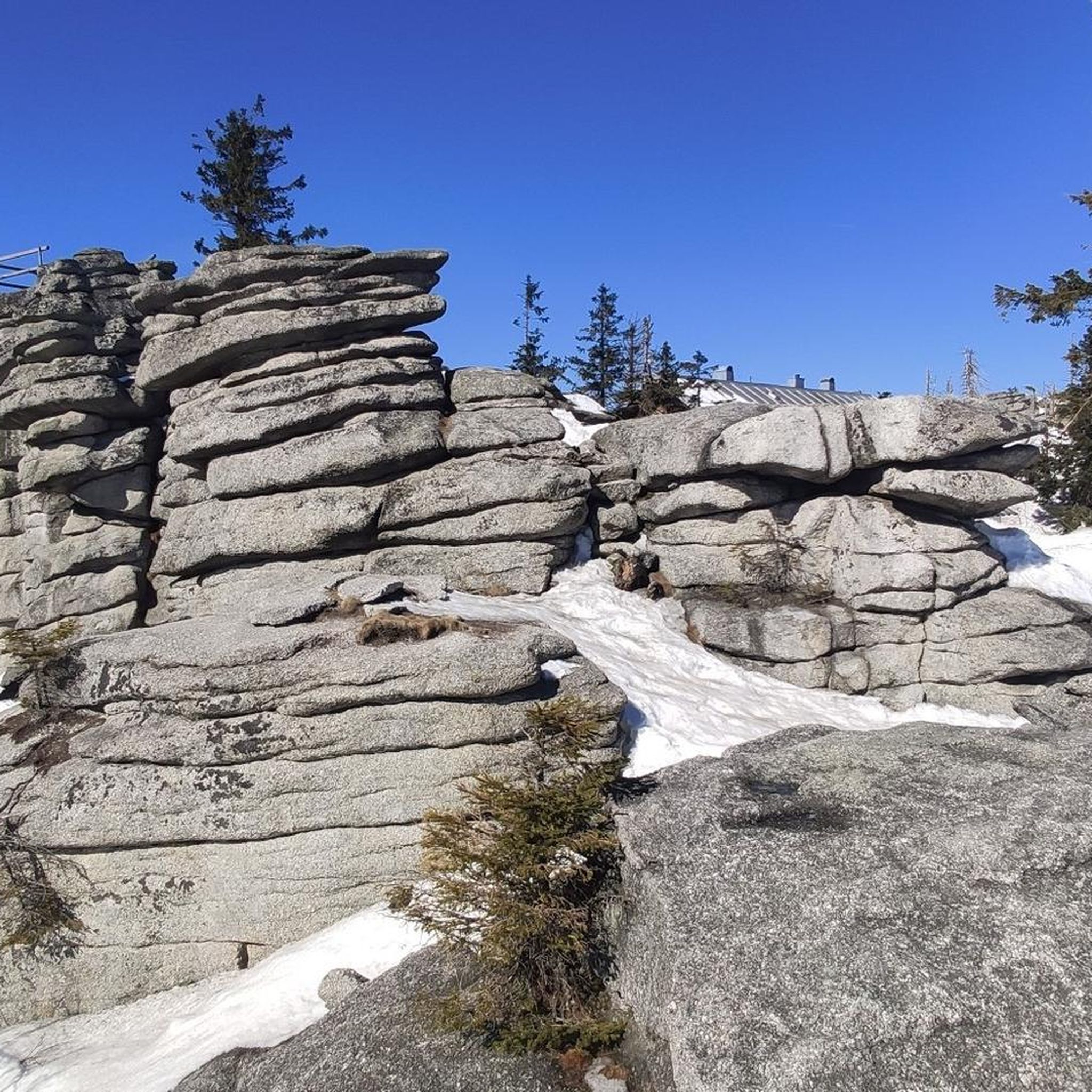
Sugarloaf Peak is the highest point in Cathedral Range State Park, rising to about 920 metres above sea level. The summit is reached via steep walking tracks that involve scrambling over rugged rock faces and exposed sections of the ridge. From the top, the views are breathtaking across the jagged spine of the Cathedral Range and the forested valleys of the surrounding Central Highlands.
1
0
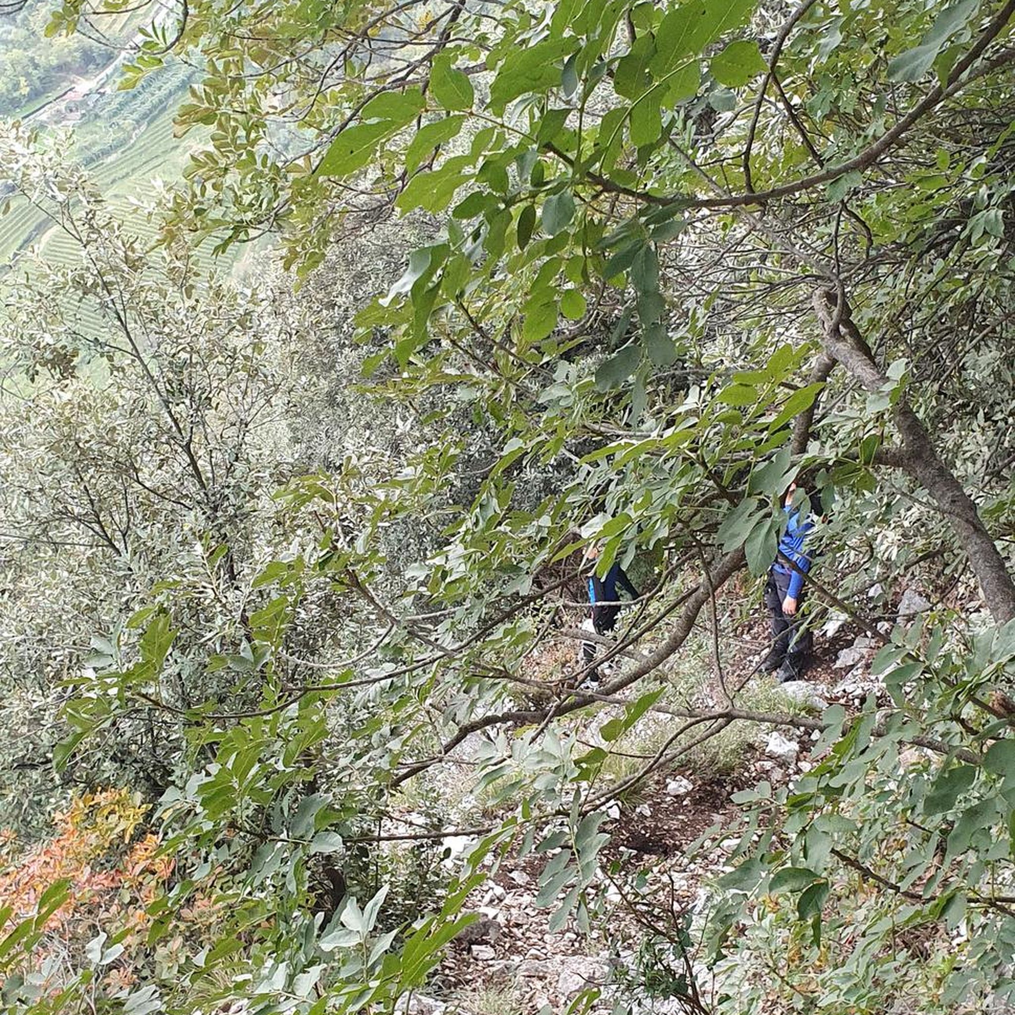
Wells Cave is a narrow rock passage on the steep ascent route to Sugarloaf Peak. Reaching the cave involves scrambling up exposed rock faces before squeezing through the tight gap in the rock formation, making it one of the most challenging sections of the Southern Circuit. This section is recommended only for experienced walkers comfortable with heights and short sections of rock climbing. It’s also a good idea to make sure you have your headlamp ready before you enter.
0
0
Messmate Track is a relatively steep walking path that connects the Cooks Mill camping area with the Sugarloaf Saddle day-use area. The route climbs gradually through dense messmate and eucalypt forest, crossing small gullies as it winds up the hillside. It's a key access route to more challenging tracks within the park, including Wells Cave and Canyon Track, which lead to the higher peaks of the range.
0
0
Steavenson Falls is one of Victoria’s tallest waterfalls, cascading approximately 84 metres over a series of rocky tiers. There is a viewing platform at its base, near the car park, which is a very popular spot and illuminated at night. This upper lookout platform provides an elevated vantage point just off the main falls track, where you can see the full drop framed by tall mountain ash forest, offering a quieter perspective than the lower viewing area.
1
0
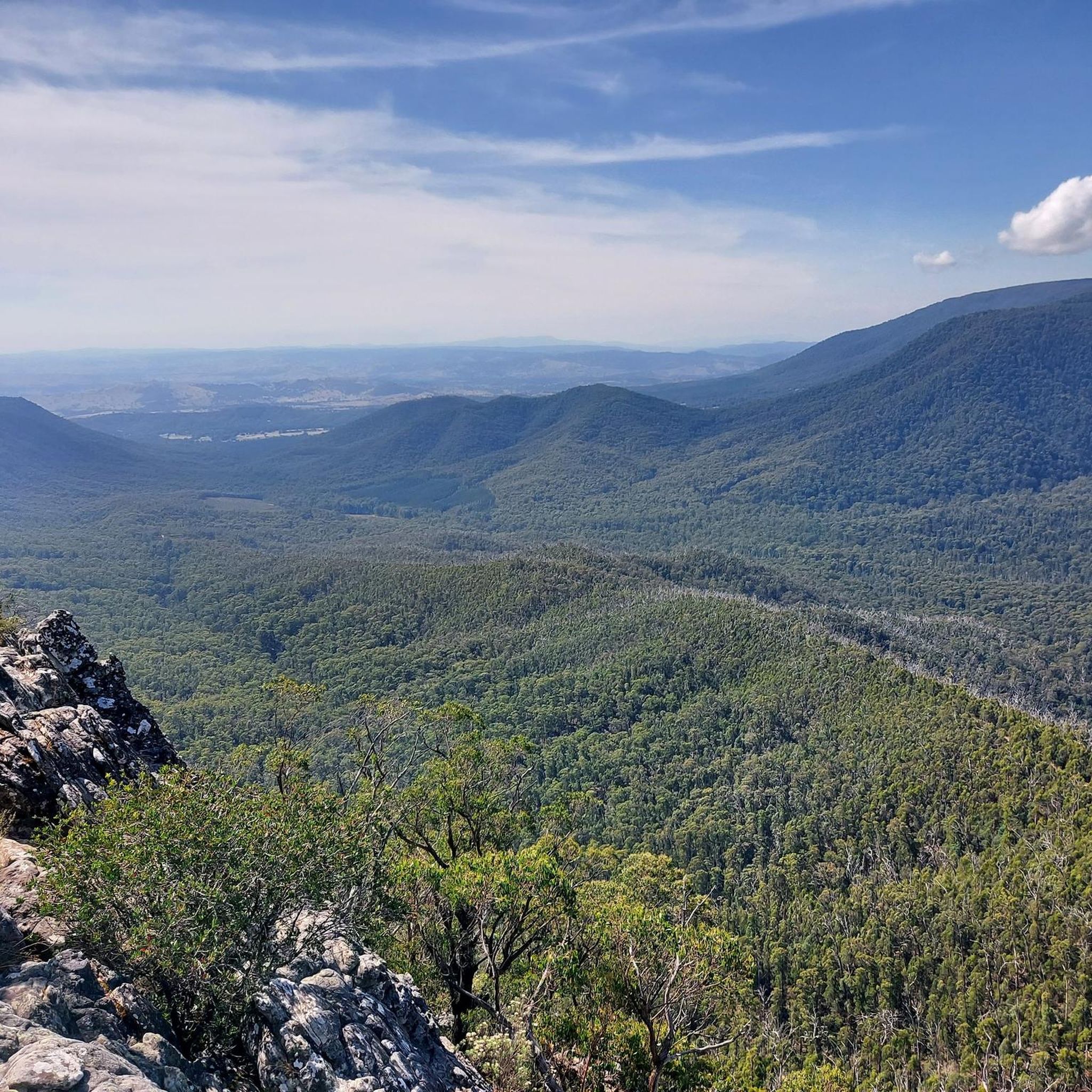
Oxley Lookout is a fantastic ridge-side viewpoint with expansive views over the forested hills and valleys. The short approach track to the open outlook, and the high vantage point, make it an ideal spot to capture some great photos.
0
0
Keppel Lookout sits above Marysville, offering expansive views across the forested valleys of the Yarra Ranges. The short access walk leads to a viewing platform where you can take in the beautiful mountain scenery and changing light throughout the day. It’s a popular stop along local walking circuits and scenic drives for its unobstructed panoramic views.
0
0

Also only take a small backpack with you and a head torch also helps.
2
0
Frequently Asked Questions
How many hiking trails are available in Marysville State Forest?
Marysville State Forest offers a diverse network of over 25 hiking trails. These range in difficulty from easy forest paths to more challenging ascents, ensuring options for various experience levels.
Are there easy hiking trails suitable for beginners or families?
Yes, Marysville State Forest has 7 easy trails perfect for beginners or families. These routes typically feature gentler terrain through the eucalypt forests. While specific easy routes aren't detailed in the provided data, the forest offers accessible options for a pleasant walk.
What is the typical length and duration of hikes in Marysville State Forest?
Hikes in Marysville State Forest vary significantly. Many popular routes range from 5 to 15 kilometers (3 to 9 miles) and can take anywhere from 2 to 5 hours to complete, depending on the terrain and your pace. For example, the Steavenson Falls via Keppel Lookout Trail Circuit is about 10.7 km and takes around 3.5 hours.
Which trails offer the best scenic viewpoints or natural attractions?
Many trails in Marysville State Forest lead to stunning natural features. The Steavenson Falls via Keppel Lookout Trail Circuit is renowned for its prominent waterfall and panoramic views from Keppel Lookout. For unique geological formations, consider the Wells Cave loop from Sugarloaf Saddle, which explores interesting rock features.
Are there many circular hiking routes available?
Yes, Marysville State Forest features several excellent circular routes, allowing you to start and end at the same point without retracing your steps. Examples include the popular Steavenson Falls via Keppel Lookout Trail Circuit and the Cooks Mill Heritage Site loop from Buxton.
When is the best time of year to go hiking in Marysville State Forest?
Hiking in Marysville State Forest is enjoyable year-round, but spring (September-November) and autumn (March-May) offer particularly pleasant conditions with mild temperatures and vibrant foliage. Summer can be warm, while winter brings cooler weather and sometimes misty conditions, adding a different atmosphere to the eucalypt forests.
Is Marysville State Forest suitable for winter hiking?
Yes, Marysville State Forest can be explored in winter. The eucalypt forests offer shelter, and the cooler temperatures can be refreshing. Be prepared for potentially wet and muddy conditions, and dress in layers. Always check local weather forecasts before heading out.
Are there historical sites or points of interest along the trails?
Yes, some trails in Marysville State Forest pass through areas with historical significance. The Cooks Mill Heritage Site loop from Buxton, for instance, leads through historical forest areas, offering a glimpse into the region's past.
What do other hikers enjoy most about hiking in Marysville State Forest?
The area is highly rated by the komoot community, with an average score of 4.7 stars. Reviewers often praise the lush eucalypt forests, the beauty of the river valleys, and the rewarding scenic lookouts. The variety of trails, from gentle walks to more demanding climbs, is also frequently highlighted.
Is parking available at the trailheads?
Generally, parking is available at common access points and trailheads within Marysville State Forest. Specific parking details may vary by trail, but popular starting points usually have designated areas for vehicles.
Can I bring my dog on the trails in Marysville State Forest?
Marysville State Forest is generally dog-friendly, but regulations can vary. It's always best to keep your dog on a leash and ensure you clean up after them. Check specific signage at trailheads for any restrictions that might apply to certain areas or times of year.
Are there any less-known trails or 'hidden gems' to explore?
While the guide highlights popular routes, Marysville State Forest has 29 total tours, suggesting many less-trafficked paths beyond the main attractions. Exploring trails like the Lower Farside Lookout – Marysville Bushland Reserve loop from Marysville can offer a quieter experience and different perspectives of the forest.

Get inspired with the komoot mobile app


Explore more
Browse the best Hikes in other regions.
