The best running trails in Marysville State Forest
44
runners
7
runs
Jogging in Marysville State Forest offers diverse terrain characterized by lush eucalypt forests, including towering Mountain Ash trees, and clear streams like the Steavenson and Taggerty Rivers. The region features spectacular waterfalls, such as Steavenson Falls, and mountainous areas with lookouts providing expansive views. Trails range from gentle paths along rivers to more challenging climbs through varied forest types, making it suitable for different running preferences.
Best jogging routes in Marysville State Forest
- The most popular jogging route is Lower Farside Lookout loop from Marysville, a 5.2 miles (8.3 km) trail that takes about 56 minutes to complete. This moderate route offers views from Lower Farside Lookout.
- Another top favourite among local runners is Lower Lookout – Marysville Bushland Reserve loop from Marysville, a moderate 6.7 miles (10.9 km) path. This route winds through the Marysville Bushland Reserve, providing varied forest scenery.
- Local runners also love the Keppel Lookout – Steavenson Falls Upper Lookout loop from Marysville, a 25.6 miles (41.1 km) trail leading through diverse forest and past significant viewpoints, often completed in about 5 hours 34 minutes.
- Jogging in Marysville State Forest is defined by lush eucalypt forests, clear streams, and mountain views. The network offers options for different ability levels, from moderate loops to difficult long-distance running.
- The guide includes highly-rated routes that showcase the best of the region's landscape. More than 40 runners have used komoot to explore Marysville State Forest's varied terrain.
Last updated: July 10, 2026
9
runners
8.33km
00:57
200m
200m
Moderate run. Good fitness required. Mostly paved surfaces. Suitable for all skill levels.
8
runners
10.9km
01:14
240m
250m
Moderate run. Good fitness required. Mostly paved surfaces. Suitable for all skill levels.

Sign up for free
4
runners
4.92km
00:33
100m
100m
Moderate run. Good fitness required. Mostly paved surfaces. Suitable for all skill levels.
6
runners
41.1km
05:34
1,320m
1,320m
Hard run. Very good fitness required. Mostly paved surfaces. Suitable for all skill levels.
7
runners
23.4km
03:39
1,110m
1,110m
Hard run. Very good fitness required. Sure-footedness, sturdy shoes and alpine experience required.
Get access to more routes and recommendations from other explorers.
Sign up for free
Already have an account?
Our route recommendations are based on thousands of hikes, rides, and runs completed by other people on komoot.
Start today with a free account
Your next adventure awaits.
Login or Signup
Popular around Marysville State Forest
Tips from the Community

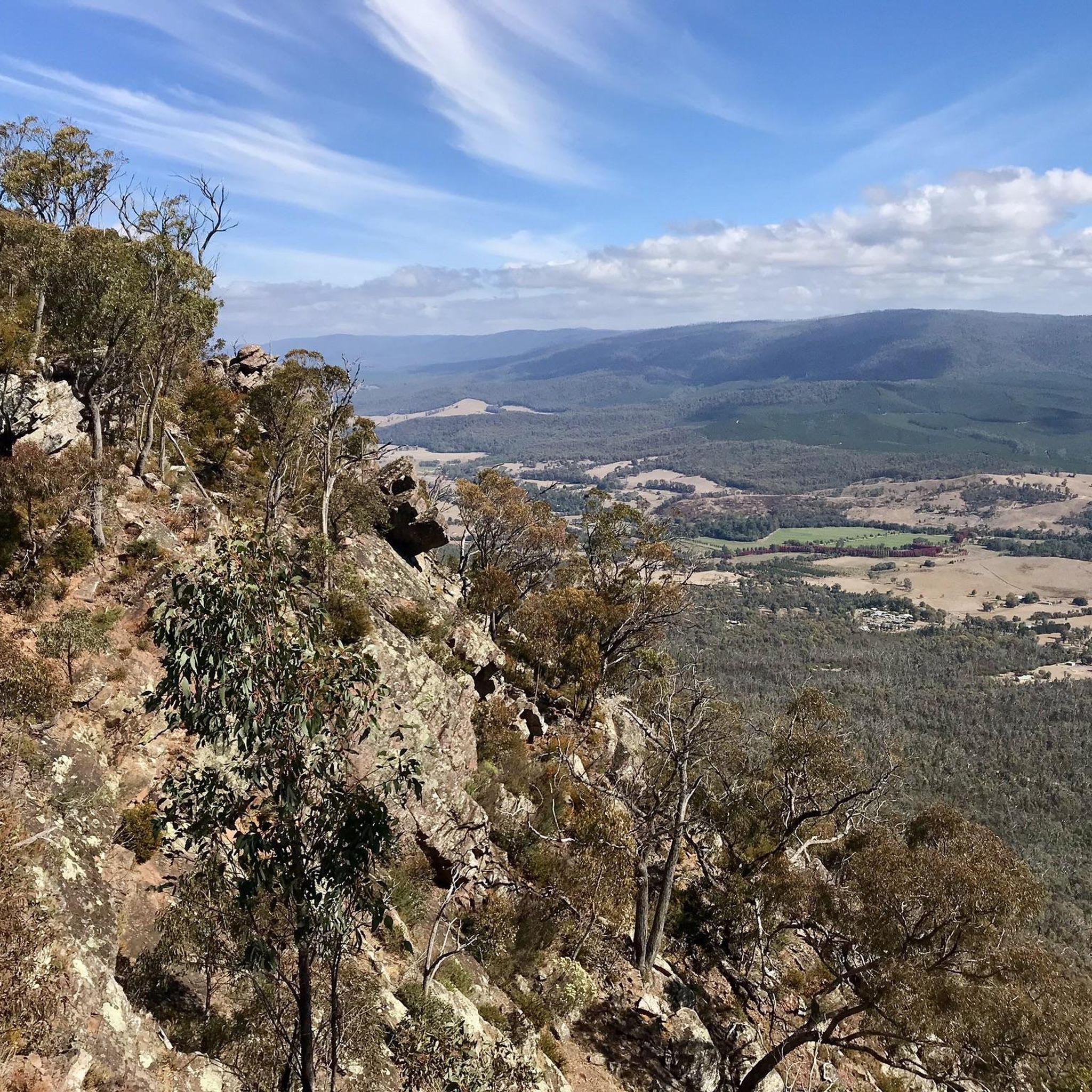
Cathedral Peak is perched on the western rim of the ancient Cerberean Caldera, one of the world’s largest extinct volcanoes. The short detour involves a steep climb and some rocky scrambling that leads to expansive views over Cathedral Range, the Acheron Valley, and the forested landscape beyond. Its impressive rock formations are among the defining features of Cathedral Range State Park.
0
0
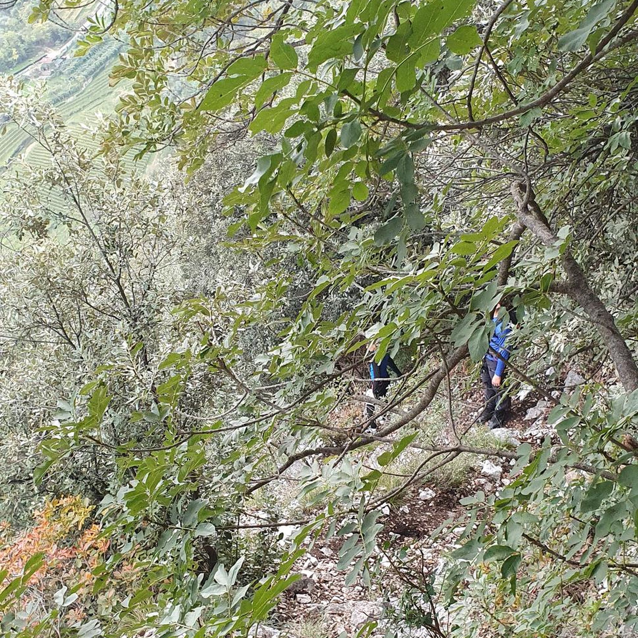
Ridge Track is a Grade 5 route that forms a large part of the Northern Circuit and follows the rugged spine of the Cathedral Range, connecting many of the park’s best-known summits across the exposed sandstone ridgeline. The route includes a few challenging climbs, narrow rocky sections and scrambles in and between large boulders. The track is well-marked along the way, and the uninterrupted views over the Acheron Valley will add to your focus, so keep aware of your footing as you enjoy the views.
0
0
Little River winds through the base of the Cathedral Range before joining the Acheron River. Lined with tall forest and ferns, it’s a peaceful contrast to the surrounding rugged ridgeline above. This is an ideal spot for a break, and one of the few places where the track runs close to the water between Cooks Mill Campground and Neds Gully.
0
0
Cathedral North is a prominent sandstone summit on the northern section of the Cathedral Range between Little Cathedral Peak and Cathedral Peak. The steep rock slabs, narrow ridgelines, and short sections of scrambling make the approach not technical, but relatively challenging. The expansive views over the Acheron Valley, Little River Valley, and the surrounding mountain ranges from this spot are a beautiful reward for your effort.
0
0
Messmate Track is a relatively steep walking path that connects the Cooks Mill camping area with the Sugarloaf Saddle day-use area. The route climbs gradually through dense messmate and eucalypt forest, crossing small gullies as it winds up the hillside. It's a key access route to more challenging tracks within the park, including Wells Cave and Canyon Track, which lead to the higher peaks of the range.
0
0
Steavenson Falls is one of Victoria’s tallest waterfalls, cascading approximately 84 metres over a series of rocky tiers. There is a viewing platform at its base, near the car park, which is a very popular spot and illuminated at night. This upper lookout platform provides an elevated vantage point just off the main falls track, where you can see the full drop framed by tall mountain ash forest, offering a quieter perspective than the lower viewing area.
1
0
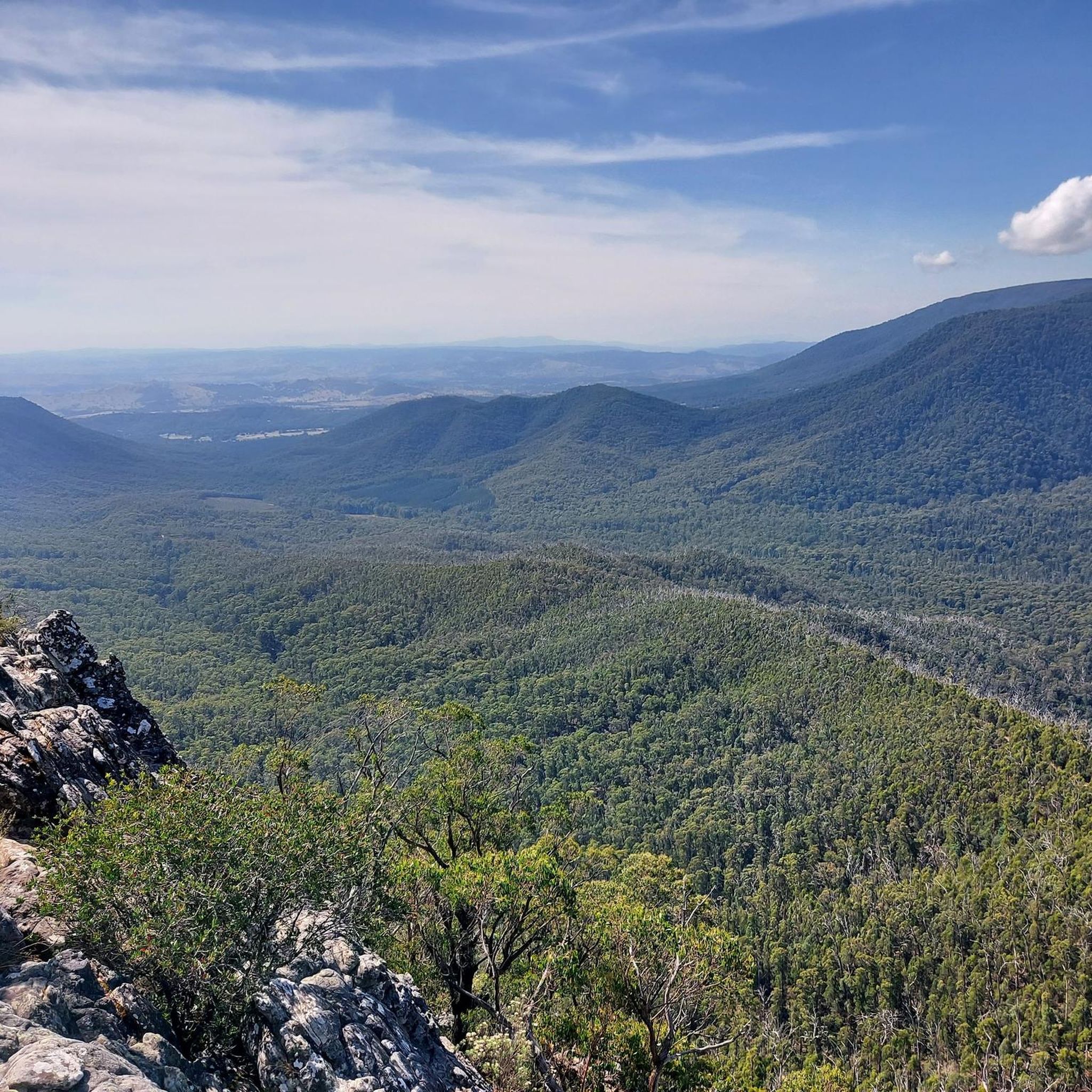
Oxley Lookout is a fantastic ridge-side viewpoint with expansive views over the forested hills and valleys. The short approach track to the open outlook, and the high vantage point, make it an ideal spot to capture some great photos.
0
0
Keppel Lookout sits above Marysville, offering expansive views across the forested valleys of the Yarra Ranges. The short access walk leads to a viewing platform where you can take in the beautiful mountain scenery and changing light throughout the day. It’s a popular stop along local walking circuits and scenic drives for its unobstructed panoramic views.
0
0
Frequently Asked Questions
How many running routes are available in Marysville State Forest?
Marysville State Forest offers a diverse network of running trails. On komoot, you can find 7 curated routes, ranging from moderate loops to challenging long-distance runs, catering to various fitness levels.
Are there any easy running routes for beginners in Marysville State Forest?
While many routes in Marysville State Forest are moderate to difficult, the region offers paths suitable for a pleasant jog. For instance, the easy, gravelled path to the base of Steavenson Falls provides a picturesque and accessible option. The forest's varied terrain means you can often find flatter sections along streams for a gentler experience.
Can I find challenging long-distance running trails in Marysville State Forest?
Absolutely. For experienced runners seeking a challenge, Marysville State Forest has several difficult long-distance routes. The Keppel Lookout – Steavenson Falls Upper Lookout loop from Marysville is a substantial 41.1 km trail with significant elevation, taking around 5.5 hours to complete. Other difficult options include the Cathedral Peak loop from Cathedral Range State Park and the Sugarloaf Peak – Cathedral Peak loop from Jawbone car park.
Are there any circular running routes in Marysville State Forest?
Yes, many of the popular running routes in Marysville State Forest are circular, allowing you to start and finish at the same point. Examples include the moderate Lower Farside Lookout loop from Marysville (8.3 km) and the Lower Lookout – Marysville Bushland Reserve loop from Marysville (10.9 km).
What natural features or landmarks can I see while jogging in Marysville State Forest?
Marysville State Forest is rich in natural beauty. You can jog past towering Mountain Ash trees, alongside crystal-clear streams like the Steavenson and Taggerty Rivers, and discover spectacular waterfalls such as Steavenson Falls, one of Victoria's highest. Other notable falls like Keppel Falls and Phantom Falls are also accessible via scenic tracks.
Are the running trails in Marysville State Forest suitable for families?
Many areas within Marysville State Forest offer trails suitable for families, especially those looking for a pleasant walk or a gentle jog. The Steavenson Falls Walking Track is an easy, well-maintained path perfect for a family outing. Areas like the Marysville Beauty Spot Natural Features Reserve also provide well-maintained trails for casual exploration.
Can I bring my dog on the running trails in Marysville State Forest?
When running with your dog in Marysville State Forest, it's important to check specific trail regulations. Generally, dogs are permitted in State Forests but must be kept on a leash. However, some areas, particularly within National Parks or specific reserves, may have restrictions. Always look for signage at trailheads or consult Parks Victoria for the most current information.
Where can I park when visiting Marysville State Forest for a run?
Parking is generally available at key access points and trailheads throughout Marysville State Forest. For routes starting near Marysville, you'll find parking in and around the town. Specific car parks are also located near popular attractions like Steavenson Falls and along scenic drives such as Lady Talbot Drive, providing access to various trails.
What is the best time of year to go running in Marysville State Forest?
Marysville State Forest offers a beautiful running experience year-round. Spring and autumn are particularly pleasant, with mild temperatures, vibrant foliage, and blooming wildflowers. Summer can be warm, so early morning or late afternoon runs are ideal. Winter offers a unique, crisp experience, but trails can be wet, and higher elevations may experience colder conditions.
Are there any cafes or places to eat near the running routes in Marysville State Forest?
Yes, the town of Marysville, which serves as a common starting point for many routes, offers a selection of cafes, bakeries, and pubs where you can refuel after your run. You'll find options for coffee, meals, and snacks to enjoy the local hospitality.
What makes Marysville State Forest a popular destination for runners?
Marysville State Forest is popular among runners due to its diverse and picturesque landscapes. The combination of lush eucalypt forests, spectacular waterfalls, clear streams, and panoramic mountain views creates an inspiring backdrop for any run. The variety of trails, from gentle paths to challenging climbs, also caters to a wide range of abilities, making it appealing to many outdoor enthusiasts.
Are there any specific viewpoints or scenic spots along the running trails?
Yes, the mountainous terrain of Marysville State Forest offers several breathtaking viewpoints. Keppel Lookout provides expansive vistas along the Cathedral Range and down the Acheron Valley. Other lookouts like Mopoke View and Oxley Lookout also offer impressive views of the forested hills and valleys, perfect for a scenic break during your run.
What kind of wildlife might I encounter while running in Marysville State Forest?
While running through Marysville State Forest, you might encounter a variety of native Australian wildlife. Keep an eye out for kangaroos, wallabies, and various bird species, including parrots and kookaburras. The forest is also home to smaller marsupials and reptiles. Remember to observe wildlife from a distance and respect their natural habitat.

Get inspired with the komoot mobile app


Explore more
Browse the best Running Trails & Routes in other regions.
