The best cycling routes in Gaupesteinmarka
4.5
(46)
1,034
riders
99
rides
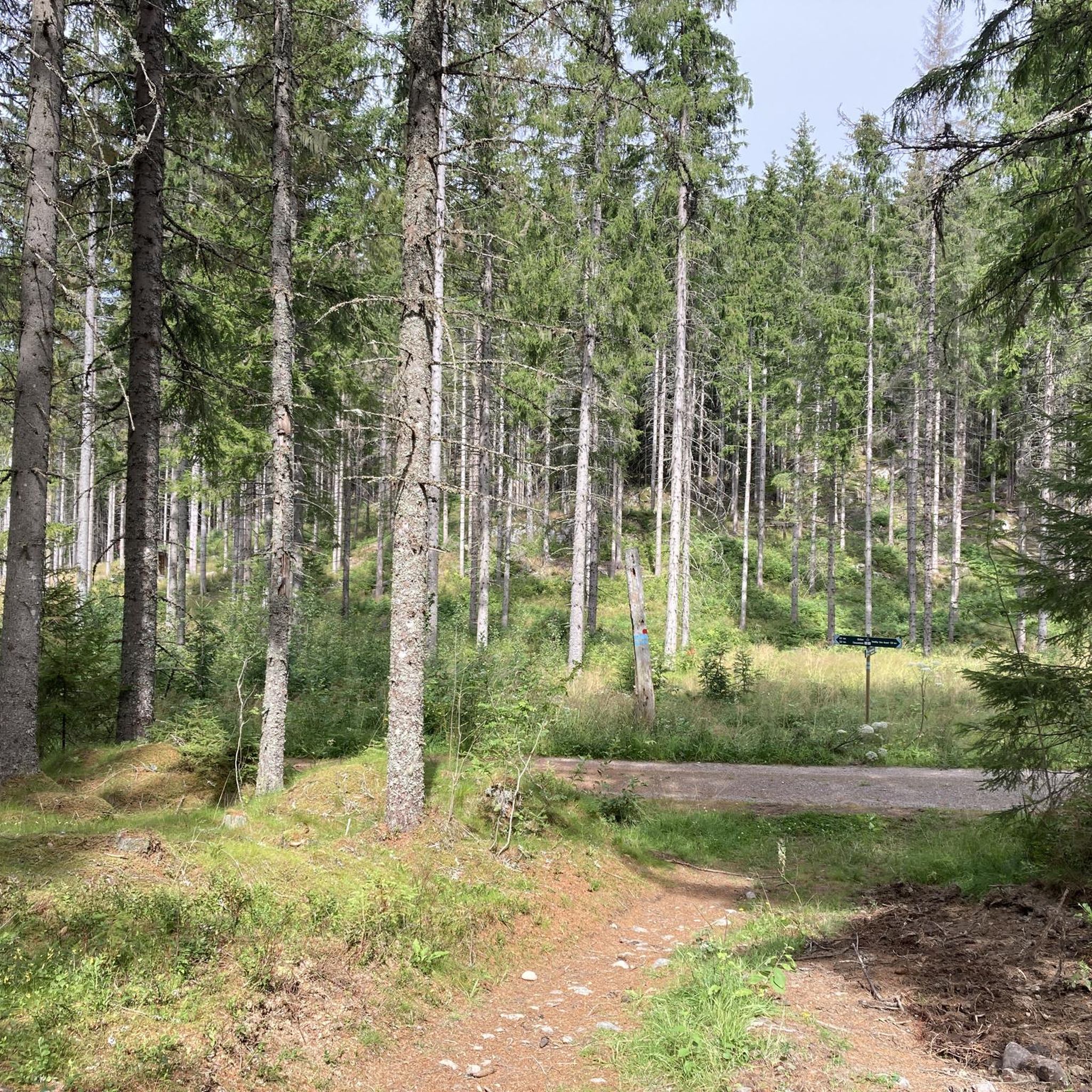
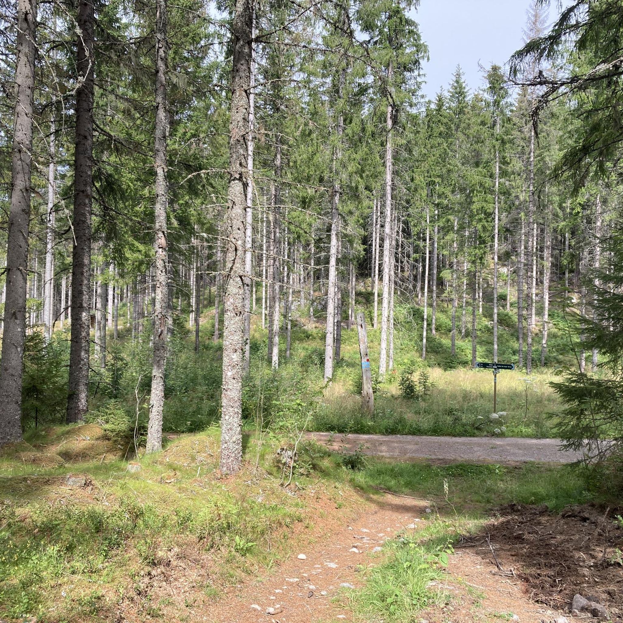
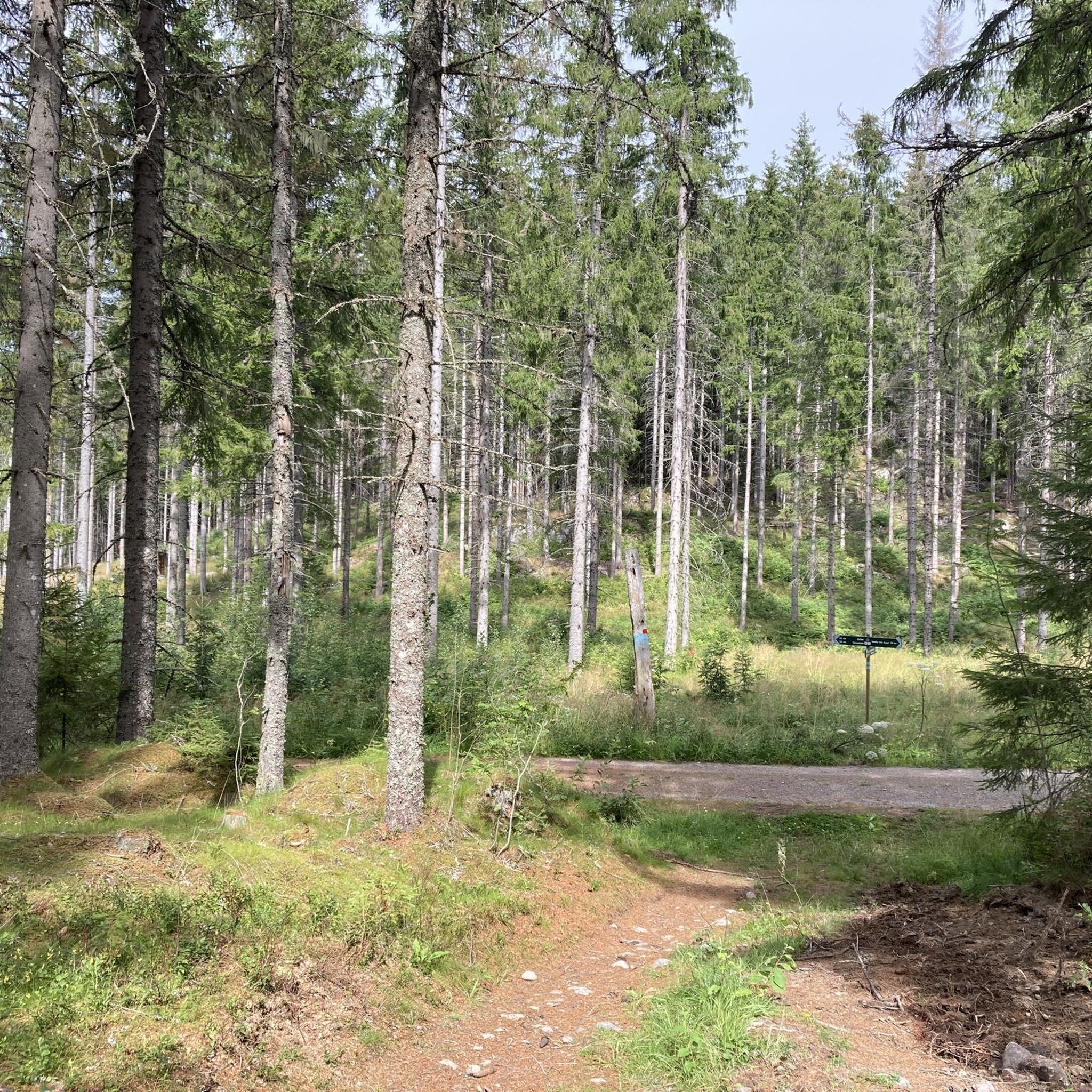
Touring cycling in Gaupesteinmarka offers routes through a diverse landscape of forests, undulating terrain, and scattered lakes. The area, located east of Ski in Nordre Follo, features predominantly spruce and pine forests, with distinct fault valleys and barren pine ridges. While much of the terrain is unpaved, touring cyclists equipped for gravel roads and forest paths can explore the natural features and historical sites. The highest point within the reserve is Gaupesteinåsen, a hill reaching 266.9 meters above sea level.
…Last updated: July 10, 2026
16
riders
40.4km
02:38
440m
440m
Moderate bike ride. Good fitness required. Mostly paved surfaces. Suitable for all skill levels.
8
riders
53.1km
03:18
550m
550m
Hard bike ride. Very good fitness required. Mostly paved surfaces. Suitable for all skill levels.

Sign up for free
5
riders
34.4km
02:21
360m
360m
Moderate bike ride. Good fitness required. Mostly paved surfaces. Suitable for all skill levels.
5
riders
19.6km
01:13
170m
170m
Moderate bike ride. Good fitness required. Mostly paved surfaces. Suitable for all skill levels.
3
riders
31.1km
01:58
290m
290m
Moderate bike ride. Good fitness required. Mostly paved surfaces. Suitable for all skill levels.
Get access to more routes and recommendations from other explorers.
Sign up for free
Already have an account?
Our route recommendations are based on thousands of hikes, rides, and runs completed by other people on komoot.
Start today with a free account
Your next adventure awaits.
Login or Signup

Tips from the Community

Askjumskogen near Ås is a peaceful forest with well-marked, easy trails. The short circular routes are ideal for relaxed walks and can be reached quickly from the town of Ås.
0
0

Almost every bit of road that leads to and from this place is a premium road cycling road.
0
0

Great little cafe at the train station, very friendly to cyclists.
0
0

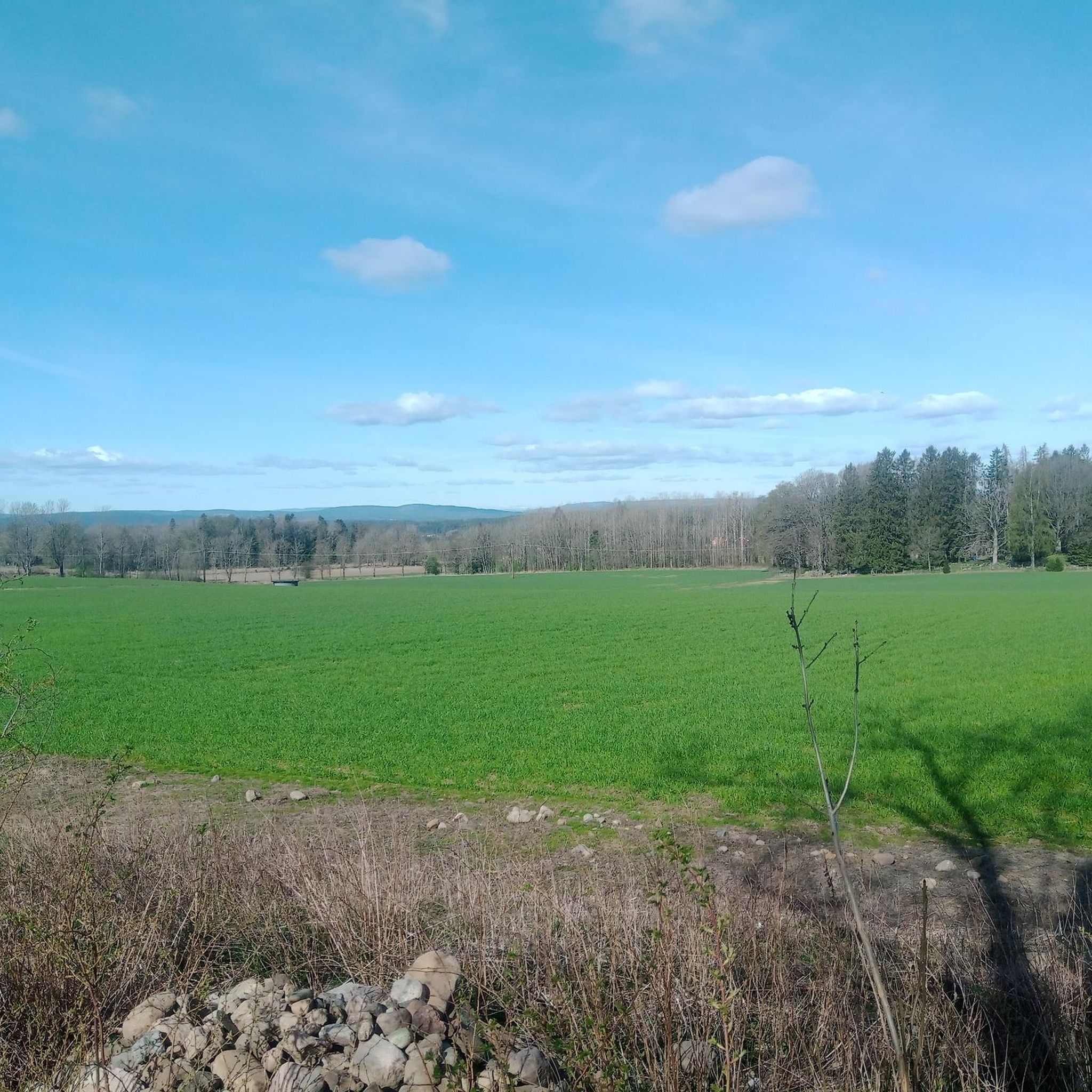
Nice view of the lake from the road. It's peaceful and picturesque, and the road is undulating and smooth. A very nice place to ride a bike.
0
0

Perfect bike road between Spydeberg and Lyseren.
0
0

Absolute favourite for baked goods and coffee in the area!
0
0
Frequently Asked Questions
How many touring cycling routes are available in Gaupesteinmarka?
Gaupesteinmarka offers a wide selection of touring cycling routes, with over 110 options available. These routes cater to various skill levels, from moderate to difficult, allowing cyclists to explore the diverse landscapes of the region.
What kind of terrain can I expect on touring cycling routes in Gaupesteinmarka?
The terrain in Gaupesteinmarka is characterized by a large, relatively untouched forest landscape, predominantly featuring spruce and pine forests. You can expect undulating terrain, distinct fault valleys, and barren pine ridges. While much of the area is unpaved, with extensive gravel roads and forest paths, touring cyclists equipped with gravel or mountain bikes will find excellent conditions for exploring the natural features.
Are there any family-friendly touring cycling routes in Gaupesteinmarka?
While many routes involve unpaved surfaces and undulating terrain, there are 16 easy touring cycling routes available in Gaupesteinmarka. These might be suitable for families looking for less challenging rides, though it's always recommended to check individual route details for specific suitability and surface conditions.
Can I bring my dog on touring cycling routes in Gaupesteinmarka?
Gaupesteinmarka is a nature reserve, and while outdoor activities are encouraged, specific rules regarding dogs on trails may apply. Generally, dogs are welcome but must be kept on a leash, especially during certain times of the year to protect wildlife. It's advisable to check local regulations or signage at trailheads for the most current information.
What are some notable landmarks or viewpoints I can see while cycling?
While cycling in Gaupesteinmarka, you can encounter several interesting landmarks. The colossal boulder known as Gaupesteinen, which gives the area its name, is a significant sight. You might also find observation towers like Hjellsåstårnet or the one on Mjærskaukollen, offering panoramic views of the forests and rolling hills. Historical sites such as the Q-hytta from WWII and the remains of Gjedsjøsaga also add to the area's appeal.
Are there any circular touring cycling routes in Gaupesteinmarka?
Yes, many of the touring cycling routes in Gaupesteinmarka are designed as loops, allowing you to start and end at the same point. For example, the Swimming Area at Våg Lake – Stasjonskafeen Kråkstad loop from Kråkstad is a popular moderate circular route. Another option is the challenging View of Lyseren Lake – Burstad Hills loop from Ytre Enebakk.
How can I get to Gaupesteinmarka using public transport for cycling?
Gaupesteinmarka is located east of Ski in Nordre Follo municipality. While direct public transport into the reserve might be limited, you can often reach nearby towns like Ski or Kråkstad by train or bus. From there, you might need to cycle a short distance to reach the trailheads. It's recommended to check local public transport schedules and policies regarding bicycles for the most convenient travel.
Where can I park my car when cycling in Gaupesteinmarka?
For cyclists arriving by car, there are typically designated parking areas near the main access points or trailheads of Gaupesteinmarka. Specific parking locations can vary, so it's advisable to consult maps or local visitor information for the most convenient and official parking spots before your trip.
What is the best time of year to go touring cycling in Gaupesteinmarka?
The best time for touring cycling in Gaupesteinmarka is generally during the spring, summer, and early autumn months when the weather is milder and the trails are free of snow and ice. These seasons offer pleasant temperatures and lush natural scenery. Always check the current weather conditions and trail status before heading out, as conditions can change.
What are the difficulty levels of touring cycling routes in Gaupesteinmarka?
Gaupesteinmarka offers a range of difficulty levels for touring cyclists. You'll find 16 easy routes, 69 moderate routes, and 26 difficult routes. This variety ensures that both casual riders and experienced cyclists can find suitable challenges, with difficult routes often featuring more significant elevation changes and technical sections.
Are there places to eat or stay near the cycling routes?
Within Gaupesteinmarka, you can find traditional 'markastuer' (forest lodges) like Gaupesteinhytta and Bråtan, which offer weekend service during the ski season and can be destinations on various trails. For more extensive dining and accommodation options, you would typically look to nearby towns such as Ski or Kråkstad, which are a short distance from the reserve.
What do other cyclists say about touring cycling in Gaupesteinmarka?
The touring cycling routes in Gaupesteinmarka are highly rated by the komoot community, with an average score of 4.5 stars from over 50 reviews. Reviewers often praise the diverse forest landscape, the sense of being deep within an ancient, wild forest, and the well-maintained gravel roads and paths that make for an adventurous cycling experience.
Are there any routes that pass by lakes for swimming?
Yes, some routes in Gaupesteinmarka pass by lakes that are popular for swimming. Vientjern Lake is a well-known spot for a refreshing dip. The Swimming Area at Våg Lake – Stasjonskafeen Kråkstad loop from Kråkstad specifically highlights a swimming area at Våg Lake, offering a great opportunity to combine cycling with a swim.
What is the longest touring cycling route in Gaupesteinmarka?
One of the longer and more challenging touring cycling routes in Gaupesteinmarka is the View of Lyseren Lake – Burstad Hills loop from Ytre Enebakk. This difficult path spans 33.0 miles (53.1 km) and offers expansive views and demanding terrain through the Burstad Hills.
Most popular routes in Gaupesteinmarka

Get inspired with the komoot mobile app


Explore more
Browse the best Cycling routes in other regions.
