The best running trails in Gaupesteinmarka
4.5
(20)
1,209
runners
163
runs
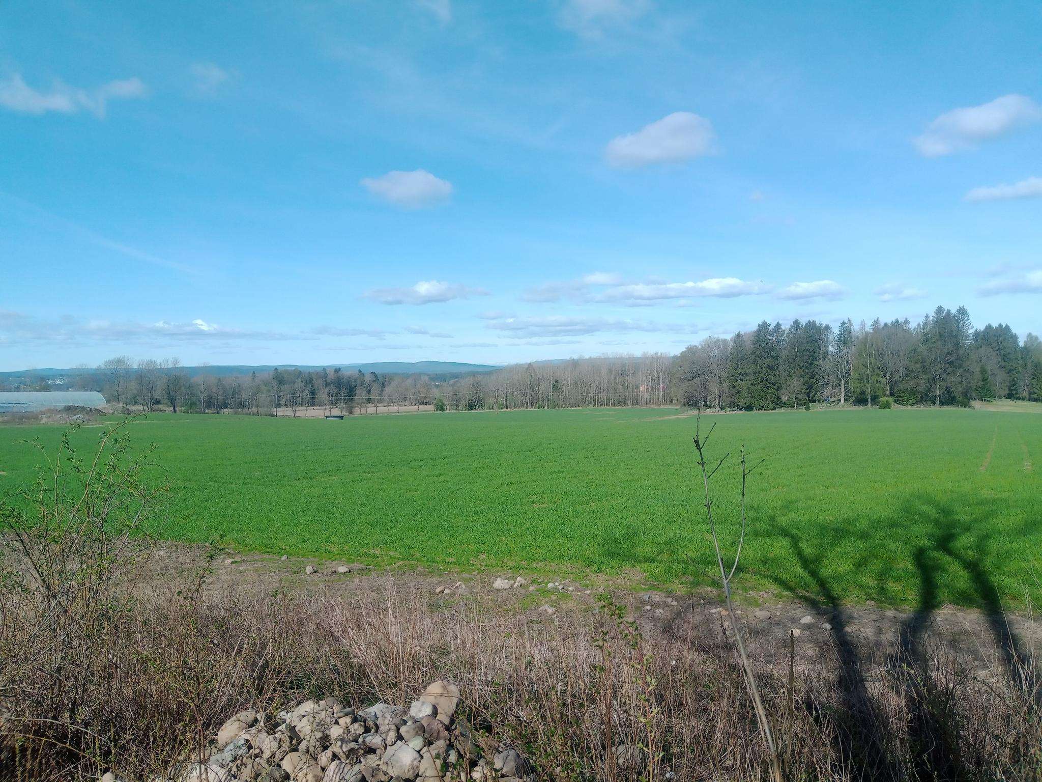
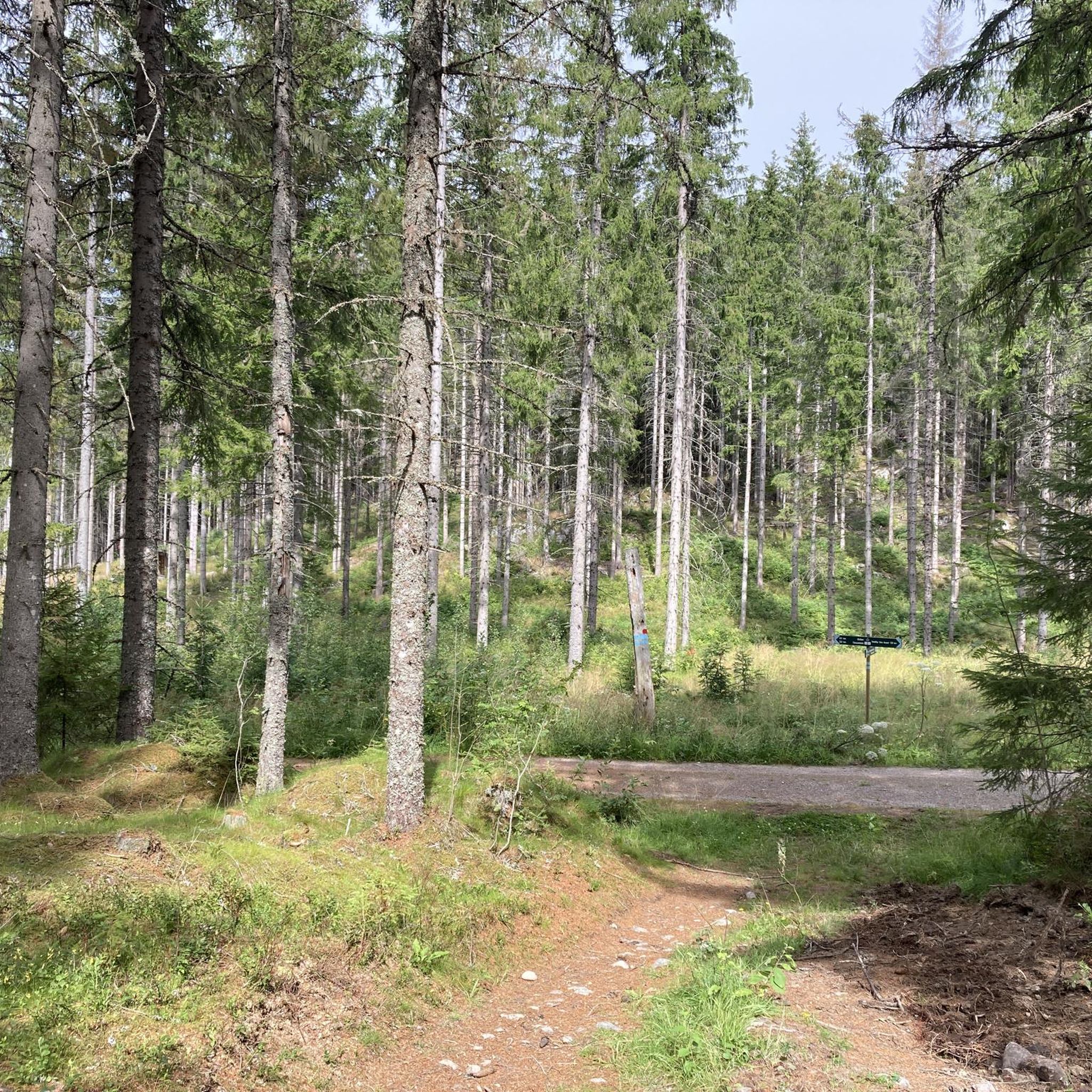
Gaupesteinmarka jogging routes traverse a diverse natural landscape characterized by hilly terrain and significant elevation changes. The region features a mix of lean pine ridges, heather-blueberry forests, and dense spruce and pine woodlands. Joggers can experience routes alongside high rock walls, through areas with streams and mires, and past numerous smaller tarns, including Vientjern.
Best jogging routes in Gaupesteinmarka
- The most popular jogging route is Mellegårdskula loop from Granerud, a 6.3 miles (10.1 km) trail that takes 1 hour…
Last updated: June 28, 2026
4
runners
16.1km
01:50
180m
180m
Hard run. Very good fitness required. Mostly paved surfaces. Suitable for all skill levels.
4
runners
8.69km
01:01
100m
100m
Moderate run. Good fitness required. Mostly paved surfaces. Suitable for all skill levels.

Sign up for free
4
runners
9.20km
01:04
130m
130m
Moderate run. Good fitness required. Mostly paved surfaces. Suitable for all skill levels.
4
runners
10.1km
01:09
110m
110m
Moderate run. Good fitness required. Mostly paved surfaces. Suitable for all skill levels.
3
runners
10.5km
01:13
110m
110m
Moderate run. Good fitness required. Mostly paved surfaces. Suitable for all skill levels.
Get access to more routes and recommendations from other explorers.
Sign up for free
Already have an account?
Our route recommendations are based on thousands of hikes, rides, and runs completed by other people on komoot.
Start today with a free account
Your next adventure awaits.
Login or Signup

Frequently Asked Questions
How many running routes are available in Gaupesteinmarka?
Gaupesteinmarka offers a wide selection of running routes, with over 170 trails available on komoot. This includes 12 easy routes, 142 moderate routes, and 22 challenging options, catering to various fitness levels.
What kind of terrain can I expect on the jogging trails in Gaupesteinmarka?
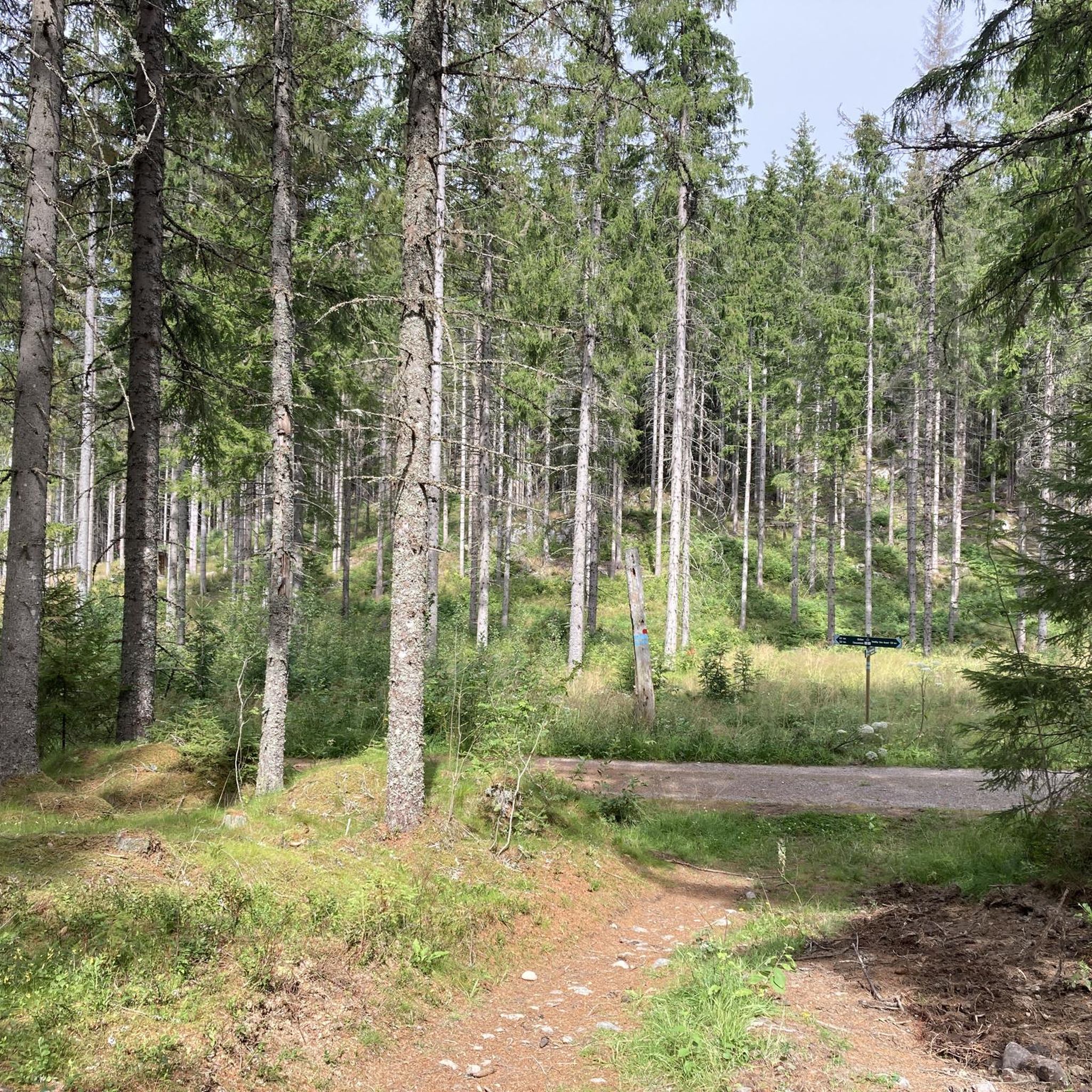
The terrain in Gaupesteinmarka is quite varied and hilly, featuring significant elevation changes. You'll encounter lean pine ridges, heather-blueberry forests, and dense spruce and pine woodlands. Many routes follow gravel roads and forest paths, traversing high rock walls, streams, mires, and numerous smaller tarns.
Are there any family-friendly running routes in Gaupesteinmarka?
Yes, Gaupesteinmarka has several routes suitable for families. While specific 'family-friendly' routes aren't explicitly tagged, the 12 easy routes available on komoot are generally a good starting point for those looking for less strenuous options. The diverse trail network allows families to choose paths that match their comfort and ability.
Can I bring my dog on the running trails in Gaupesteinmarka?
Gaupesteinmarka is generally dog-friendly, offering a natural environment for you and your canine companion. However, it's always important to keep dogs on a leash, especially in nature reserves and during nesting seasons, to protect wildlife and ensure a pleasant experience for all visitors. Check local regulations for any specific rules.
Are there any notable landmarks or viewpoints along the running routes?
Absolutely! Gaupesteinmarka is home to several impressive natural features. You can visit the enormous Gaupesteinen boulder, a glacial erratic measuring approximately 20 meters long. For panoramic views, consider routes that pass by Mjærskaukollen (the highest point at 300 meters) or Hjellsåsen, both of which have observation towers.
What is a good moderate running route to try in Gaupesteinmarka?
A popular moderate option is the Running loop from Tandbergløkka. This 8.7 km trail takes about 1 hour and 1 minute to complete and leads through varied forest landscapes, offering a balanced workout without extreme difficulty.
Is there a challenging running route for experienced runners?
For experienced runners seeking a challenge, the Bekkevaråsen – Mellegårdskula loop from Nordre Follo is an excellent choice. This difficult 16.1 km path features more demanding terrain with notable elevation changes through diverse woodlands, typically taking around 1 hour and 6 minutes.
Are there circular running routes available?
Yes, many of the running routes in Gaupesteinmarka are circular, allowing you to start and end at the same point. For example, the Running loop from Kråkstad is a moderate 11.0 km circular route that offers varied scenery and takes about 1 hour and 10 minutes.
What do other runners say about the trails in Gaupesteinmarka?
The running routes in Gaupesteinmarka are highly rated by the komoot community, with an average score of 4.6 stars from over 17 reviews. Runners often praise the diverse natural scenery, the varied terrain, and the extensive network of trails that cater to different abilities.
How can I get to the starting points of the running routes in Gaupesteinmarka?
Gaupesteinmarka is located approximately 5 km east of Ski, making it accessible by car. Many routes, like the Bekkevaråsen – Høgesset loop from Nordre Follo, start from areas with parking options. For public transport, you would typically aim for nearby towns like Ski or Kråkstad and then potentially connect via local bus services or a short taxi ride to reach specific trailheads.
Are there any facilities or resting points along the trails?
Yes, there are a couple of recreational hubs within Gaupesteinmarka. The Gaupesteinhytta, maintained by the Tomter scout group, and the Bråtan cabin both offer weekend service during the ski season and can serve as natural resting points for runners.
What is the best time of year for running in Gaupesteinmarka?
Gaupesteinmarka is suitable for running throughout the year. Spring and autumn offer pleasant temperatures and beautiful foliage, while summer provides longer daylight hours. Even in winter, the area can be enjoyed, though some trails might require appropriate gear for snow and ice. The diverse forest types and waterways provide scenic beauty in every season.
Most popular routes in Gaupesteinmarka

Get inspired with the komoot mobile app


Explore more
Browse the best Running Trails & Routes in other regions.
