The best walks and hikes in Rothleiten
4.6
(9337)
33,122
hikers
30
hikes
Hiking in Rothleiten, located in Landkreis Hof, features a collection of routes primarily through forested areas and varied terrain. The region offers paths that traverse rural landscapes, including farm areas and viewpoints. These trails provide opportunities to explore the natural environment of this part of Germany.
Best hiking trails in Rothleiten
- The most popular hiking route is Munkershof Farm loop from Rothleiten, a 8.7 miles (14.0 km) trail that takes 3 hours 48 minutes to complete. This route offers…
Last updated: October 2, 2026
5.0
(1)
7
hikers
14.1km
03:50
200m
200m
Moderate hike. Good fitness required. Easily-accessible paths. Suitable for all skill levels.
5.0
(1)
12
hikers
4.34km
01:07
20m
20m
Easy hike. Great for any fitness level. Easily-accessible paths. Suitable for all skill levels.

5.0
(2)
7
hikers
8.69km
02:26
170m
180m
Moderate hike. Good fitness required. Easily-accessible paths. Suitable for all skill levels.
3.0
(1)
10
hikers
3.57km
00:59
60m
60m
Easy hike. Great for any fitness level. Easily-accessible paths. Suitable for all skill levels.
4.3
(3)
10
hikers
19.1km
05:23
410m
410m
Hard hike. Very good fitness required. Easily-accessible paths. Suitable for all skill levels.
Get access to more routes and recommendations from other explorers.
Already have an account?
Our route recommendations are based on thousands of hikes, rides, and runs completed by other people on komoot.
Start today with a free account
Your next adventure awaits.
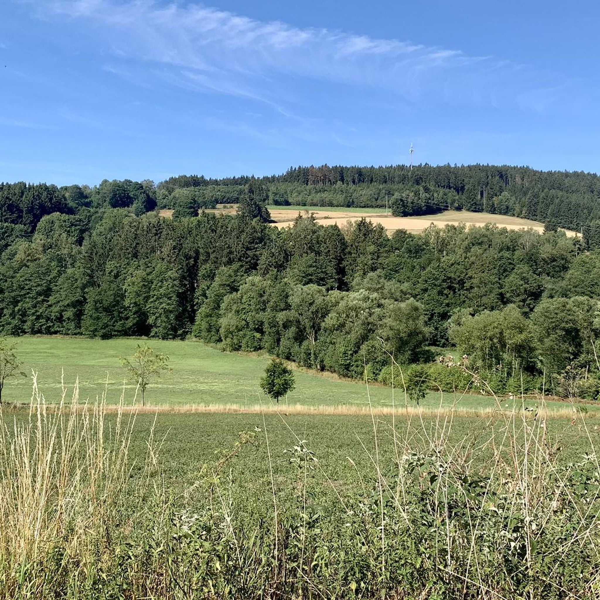
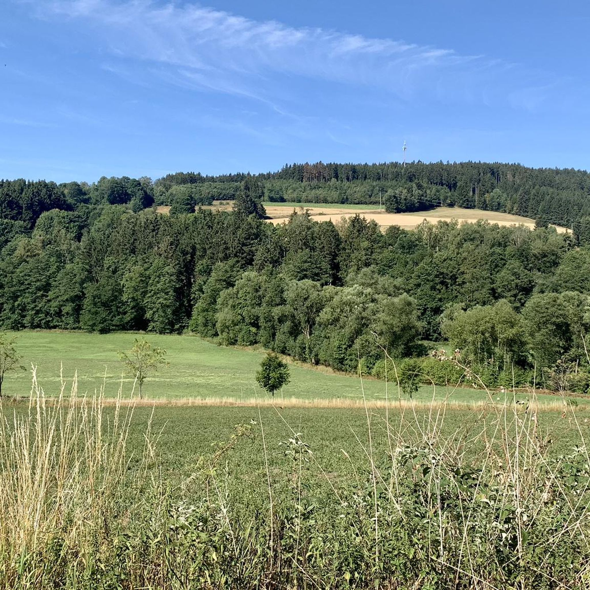
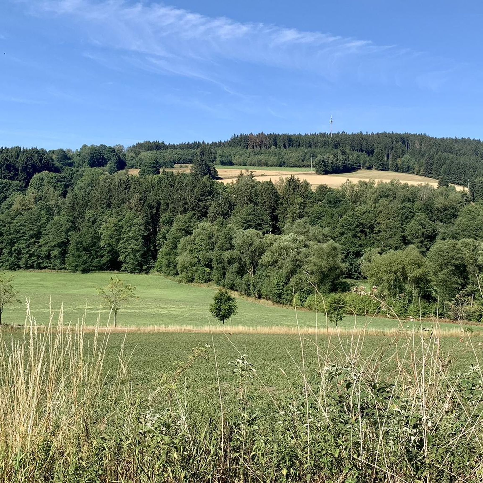
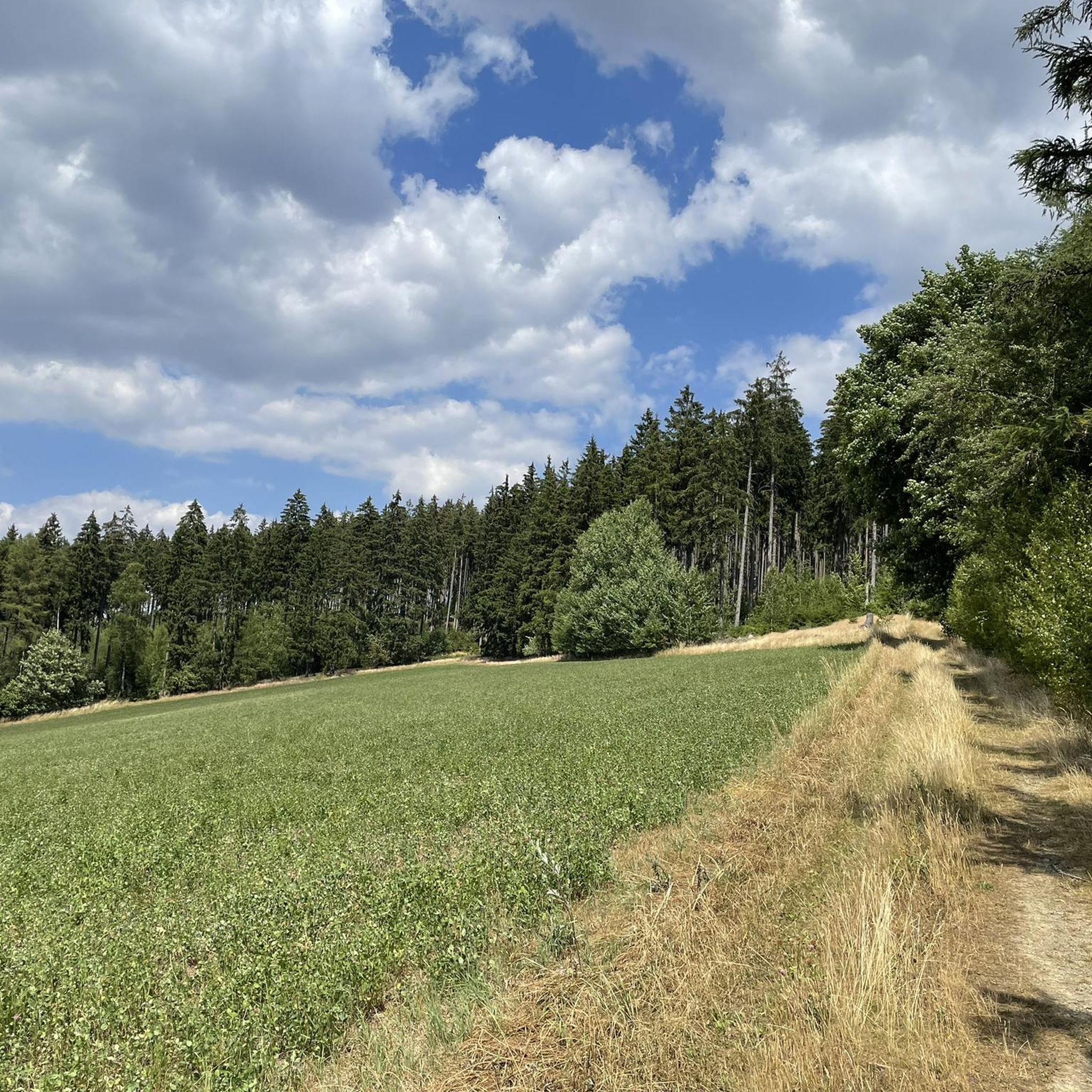
Tips from the Community

Dams are built to utilize water for hydropower plants, to keep the water level constant for fish or shipping, or to prevent floods.
1
0
Rest and relaxation area directly at the train station building with information about local leisure activities. Located directly on the Selbitztal cycle path as well as on the Bahntrassen cycle path to Schwarzenbach am Wald.
1
0
The paths along the Selbitz include varied hiking and cycling routes in the Frankenwald, which are suitable for recreational athletes and families.
1
0
A tour along the riverside path takes you past green meadows, small Upper Franconian towns (like Selbitz, Naila or Schauenstein) and shady sections.
1
0

The Blankenstein hiking base is a central meeting point for hikers in Thuringia. The place is considered the „hub of hiking“ as more than 20 hiking trails meet here. Among other things, this is the official start or end point of the famous Rennsteig, Germany's oldest ridge trail.
5
0


They're open every other Sunday afternoon. They serve coffee, cake, and snacks, as well as really good schnitzel with potato salad. If you're in the area on a Sunday, you should definitely stop by; you might get lucky. In the summer, you can also sit outside. The prices are very reasonable. The schnitzel pictured is a small one and currently (March 2026) costs less than €5.
1
0

The new Frankenwaldsteig trail, Wilder Mann, passes by here.
1
0
Frequently Asked Questions
How many hiking trails are available in Rothleiten?
Based on komoot data, there are over 30 hiking routes in Rothleiten, offering a variety of options for different preferences and skill levels.
Are there easy hiking trails suitable for beginners or families in Rothleiten?
Yes, Rothleiten offers several easy hiking trails. For example, the Shoe Tree loop from Rothleiten is a 2.2-mile (3.6 km) trail through local woodlands, typically completed in under an hour. Overall, 20 of the routes in Rothleiten are classified as easy.
What kind of terrain can I expect on Rothleiten's hiking trails?
Hiking in Rothleiten is characterized by its diverse terrain, primarily featuring forested areas and rural paths. You'll encounter varied elevation changes, from gentle slopes to more challenging ascents, providing a rich natural environment to explore.
Are there any circular hiking routes in Rothleiten?
Yes, many of Rothleiten's trails are designed as loops. Popular circular routes include the moderate Munkershof Farm loop from Rothleiten and the Waldfriedhof Issigau Cross – Frankenwald View loop from Rothleiten, both offering scenic journeys through the local landscape.
What do other hikers enjoy most about the trails in Rothleiten?
The hiking trails in Rothleiten are highly rated by the komoot community, with an average score of 4.7 stars from over 1700 reviews. Hikers often praise the quiet forested paths, varied terrain, and the opportunities to experience the natural environment of the region.
Are there any challenging hikes for experienced trekkers in Rothleiten?
Yes, for more experienced hikers, Rothleiten offers a few challenging routes. There are 2 trails classified as difficult, such as the View of Issigau – Saalenixe Wooden Sculpture loop from Issigau, which covers 19 miles (30.6 km) with significant elevation changes.
What are some notable points of interest or landmarks I can see while hiking in Rothleiten?
While hiking in Rothleiten, you can explore several interesting landmarks. These include the Dr. Köhl Memorial Stone, the Beyer Quarry, and the Shepherd's Stone. Some routes also offer views of the Frankenwald region.
Are there any trails that offer scenic viewpoints?
Yes, some trails provide excellent views of the surrounding area. The Waldfriedhof Issigau Cross – Frankenwald View loop from Rothleiten is specifically noted for offering views of the Frankenwald region.
What is the best time of year to go hiking in Rothleiten?
Given the forested and rural nature of Rothleiten's trails, spring, summer, and autumn generally offer the most pleasant hiking conditions. These seasons provide lush greenery, comfortable temperatures, and vibrant fall foliage, respectively. Always check local weather forecasts before heading out.
Is there parking available near the hiking trailheads in Rothleiten?
While specific parking areas are not detailed for every trailhead, Rothleiten is a rural area, and parking is generally available in or near the village, or at designated spots along popular routes. It's advisable to check the starting points of individual routes on komoot for more precise parking information.
Can I bring my dog on the hiking trails in Rothleiten?
Most hiking trails in rural and forested areas like Rothleiten are generally dog-friendly. However, it's always recommended to keep your dog on a leash, especially when passing through agricultural areas or near wildlife, and to respect local regulations regarding pets.
Most popular routes in Rothleiten
Most popular attractions in Rothleiten

Get inspired with the komoot mobile app


Explore more
Browse the best Hikes in other regions.
