The best road cycling routes in Rothleiten
4.6
(112)
1,213
riders
150
rides
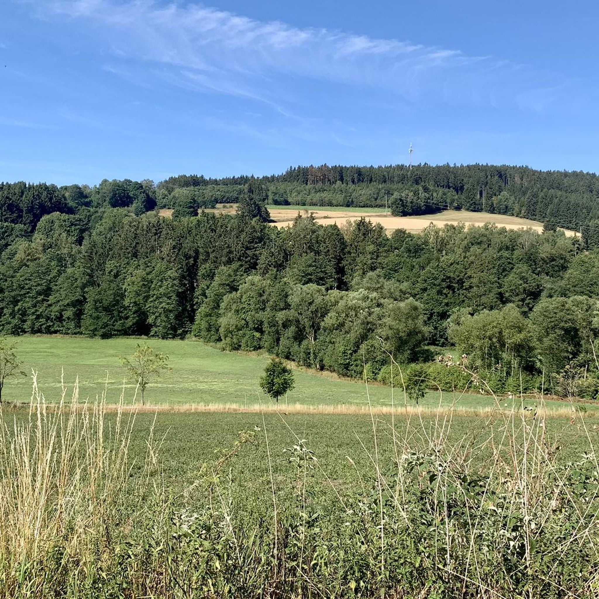
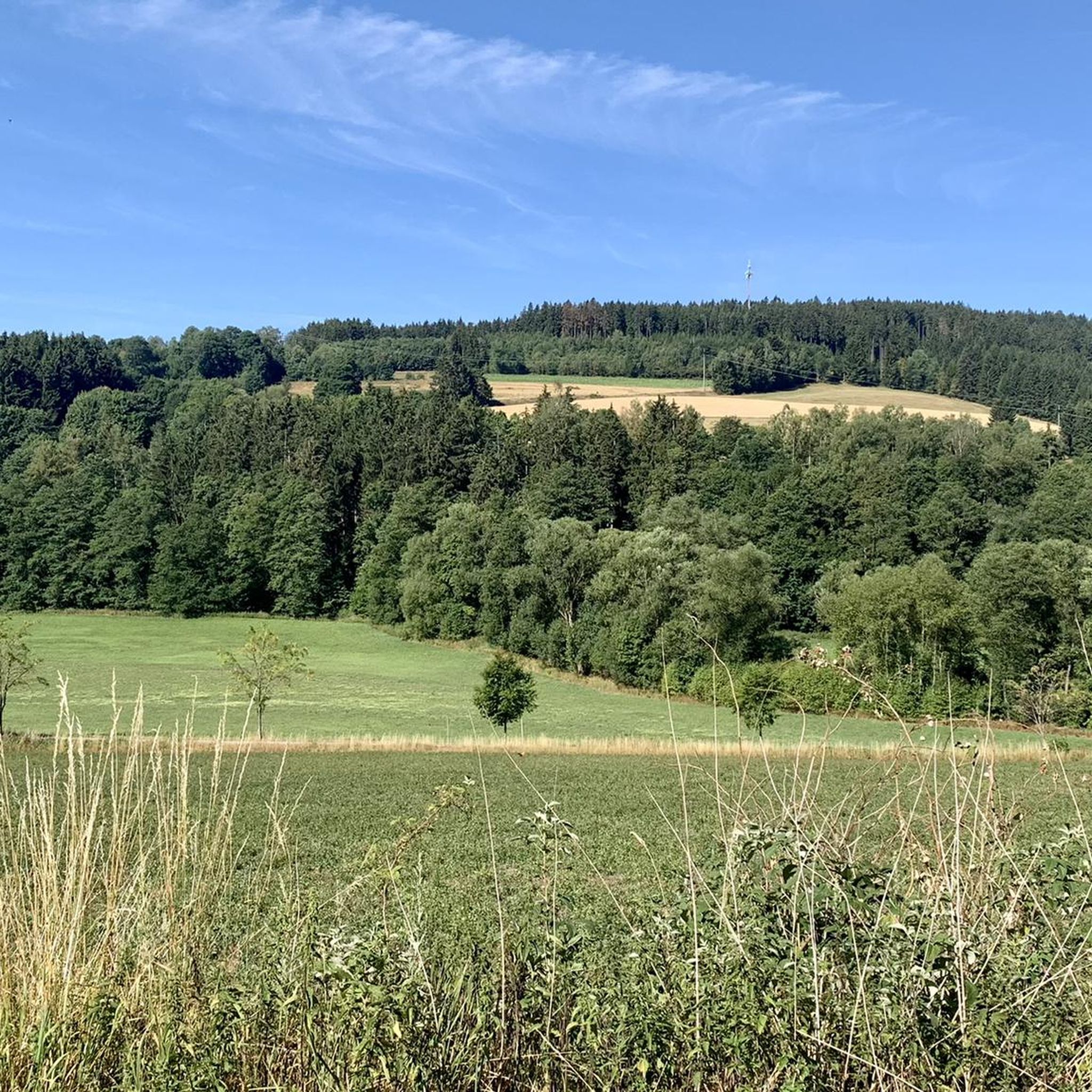
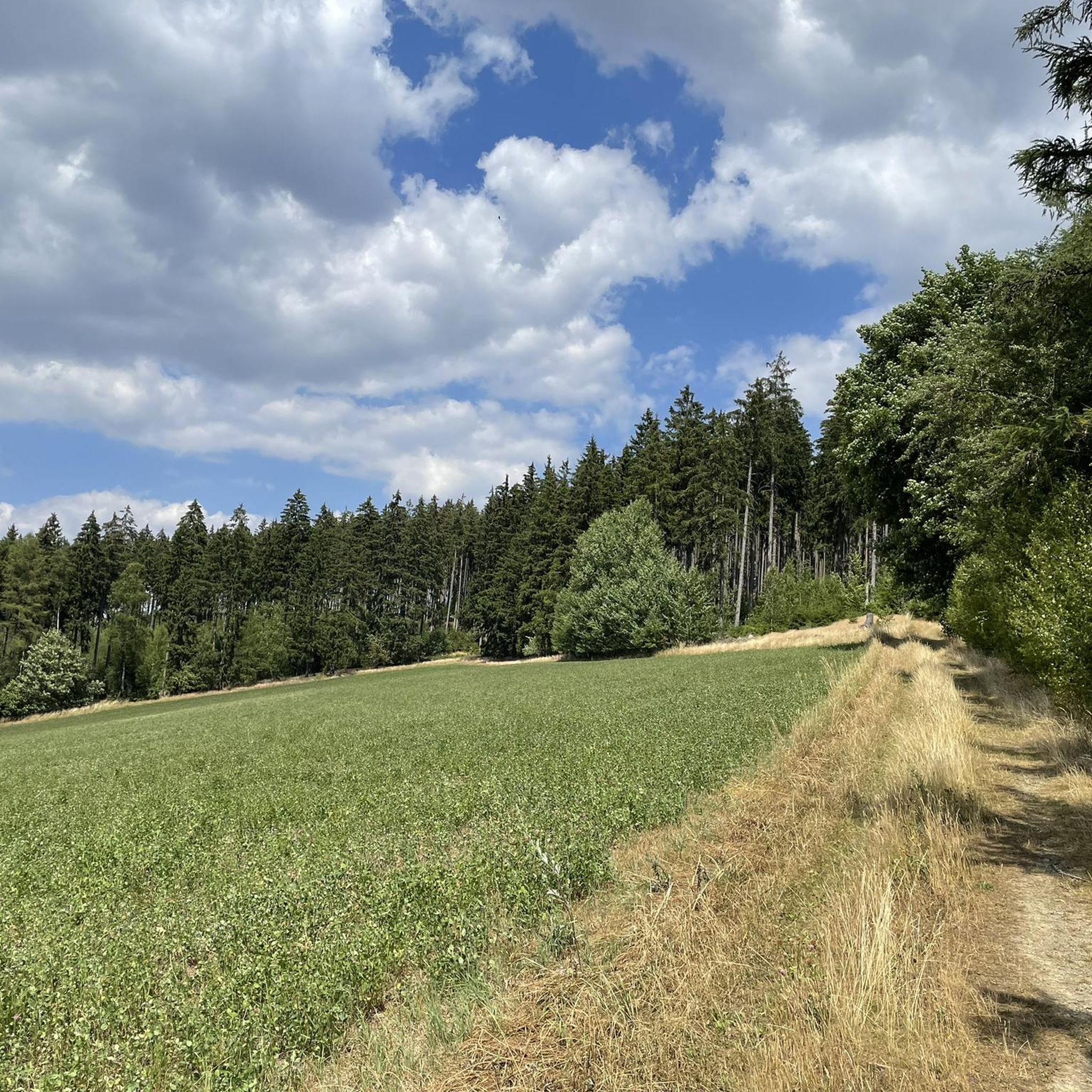
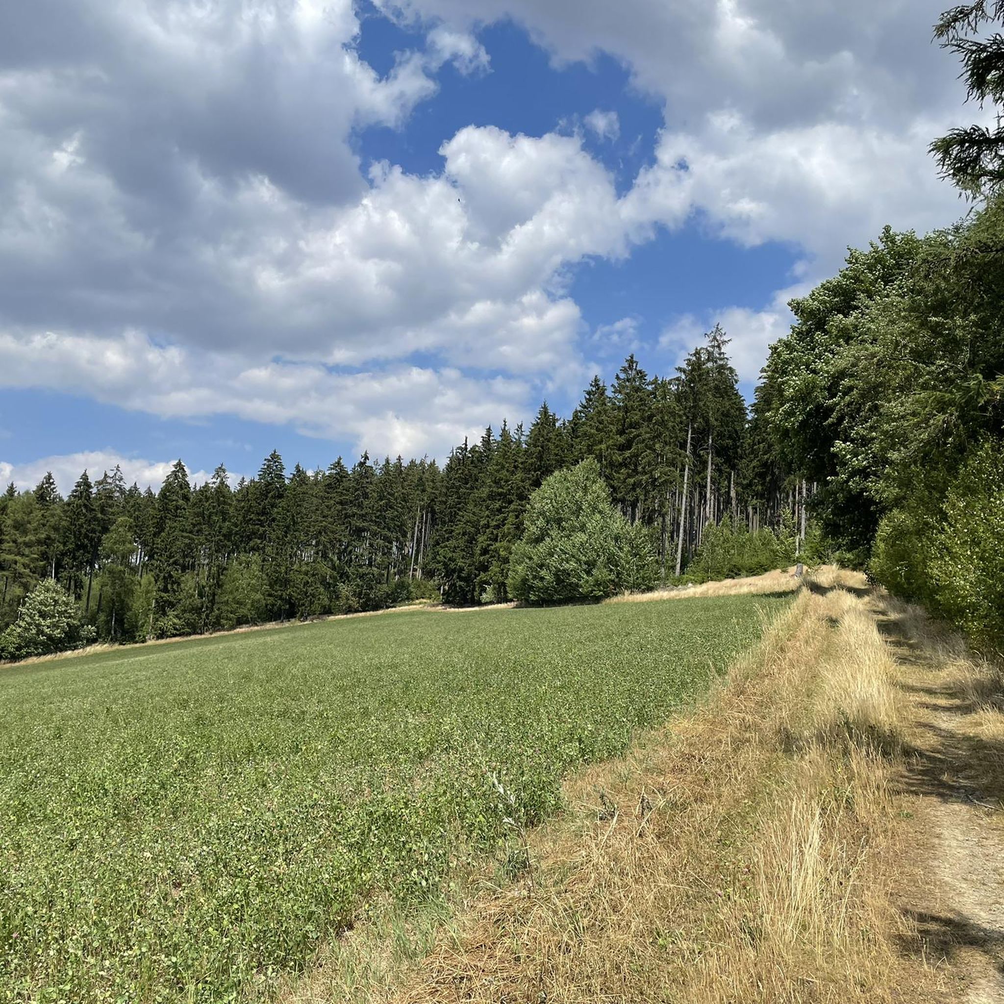
Road cycling in Rothleiten offers routes through a landscape characterized by extensive forests and rolling hills within Landkreis Hof. The region features varied terrain, from river valleys to elevated areas, providing diverse experiences for road cyclists. These routes often include moderate elevation changes, suitable for different skill levels.
Best road cycling routes in Rothleiten
- The most popular road cycling route is Steinbühl Quarry Lake – Bausenberger Bridge loop from Naila, a 38.6 miles (62.1 km) trail that takes 3…
Last updated: October 14, 2026
4
riders
Moderate road ride. Good fitness required. Some segments of this route may be unpaved and difficult to ride.
5.0
(1)
26
riders
52.0km
02:30
700m
700m
Moderate road ride. Good fitness required. Mostly well-paved surfaces and easy to ride.

3.0
(2)
24
riders
62.2km
03:01
890m
890m
Moderate road ride. Good fitness required. Mostly well-paved surfaces and easy to ride.
4.5
(4)
28
riders
26.1km
01:27
270m
270m
Moderate road ride. Great for any fitness level. Some segments of this route may be unpaved and difficult to ride.
5.0
(1)
14
riders
58.9km
02:55
890m
890m
Moderate road ride. Good fitness required. Mostly well-paved surfaces and easy to ride.
Get access to more routes and recommendations from other explorers.
Already have an account?
Our route recommendations are based on thousands of hikes, rides, and runs completed by other people on komoot.
Start today with a free account
Your next adventure awaits.
Tips from the Community

The diabase quarry at Steinbühl is a well-known old quarry lake near Naila in Upper Franconia (Bavaria). Swimming in the quarry lake is not permitted or is not suitable. The lake is Station 2 of the approximately 7-kilometer long Geopfad Naila, which offers insights into the regional geology (diabase, picrite rocks, and diabase breccias).
2
0
Formerly part of the Naila–Schwarzenbach railway line; the route was converted into a cycle and hiking path
1
0
Dams are built to utilize water for hydropower plants, to keep the water level constant for fish or shipping, or to prevent floods.
1
0

Has since been restored and looks visually very appealing.
0
0

The Steinerne Rennsteig hiker’s monument at the Blankenstein train station on the Rennsteig honors the tourist development of the famous ridge trail. It significantly commemorates August Trinius – the writer who first described the Rennsteig in a continuous hiking report in 1890, as well as the Rennsteigverein.
2
0

This old quarry impressed me a lot.
2
0

Interesting church with beautiful interior and 15th-century frescoes.
1
0

An excellent cycle path on the former railway line. It's almost completely flat, free of potholes and uneven surfaces. The route is also relatively quiet, making it ideal for really picking up speed. The surrounding scenery is particularly charming. Overall, this cycle path is highly recommended.
0
0
Frequently Asked Questions
What kind of terrain can I expect on road cycling routes in Rothleiten?
Rothleiten offers a diverse landscape for road cyclists, characterized by extensive forests and rolling hills. You'll find routes that traverse river valleys, such as those along the Mur River, as well as elevated areas like Gschwendtberg, providing varied terrain with moderate elevation changes. This mix caters to different skill levels, from gentle rides to more challenging ascents.
How many road cycling routes are available in Rothleiten?
There are over 150 road cycling routes available in Rothleiten, offering a wide range of options for cyclists. These routes are categorized by difficulty, including easy, moderate, and difficult, ensuring there's something for every experience level.
Are there any routes suitable for beginners or those looking for an easier ride?
Yes, Rothleiten has routes suitable for beginners. While many routes feature moderate elevation changes, there are 14 easy routes available. These often follow river valleys, providing a more gentle cycling experience.
What do other road cyclists think about the routes in Rothleiten?
The road cycling routes in Rothleiten are highly regarded by the komoot community, with an average rating of 4.7 stars from over 100 reviews. Cyclists often praise the varied terrain, from river valleys to rolling hills, and the well-maintained paths that make for an enjoyable experience.
Are there any circular road cycling routes in Rothleiten?
Yes, many of the road cycling routes in Rothleiten are designed as loops. For example, you can explore the View of the Saale Valley – Rennsteig Hiker Monument loop from Parkeisenbahn, which offers a scenic circular ride through the region.
Where can I find parking for road cycling routes in Rothleiten?
Parking is conveniently available in the Frohnleiten underground garage, which provides easy access to many of the cycling routes in the Rothleiten area. This makes it simple to start your ride without hassle.
Can I reach the road cycling routes using public transport?
Yes, many entry points to the cycling routes are easily accessible by public transport. For instance, some routes are approximately 10 minutes from the Frohnleiten train station, offering a convenient option for cyclists without a car.
Are there any places to stop for refreshments along the routes?
Yes, along some of the routes, you can find establishments like Gasthaus Lembacher or Gasthaus Sternadel, where weary cyclists can stop for refreshments and a break.
What are some notable landmarks or attractions I might see while cycling in Rothleiten?
While cycling in Rothleiten, you might encounter various points of interest. These include the Dr. Köhl Memorial Stone, the Beyer Quarry, or natural monuments like the Shepherd's Stone. The region also features dedicated cycle paths such as the Marxgün - Naila Froschgrün cycle path.
Which routes offer significant elevation gain for a challenging ride?
For those seeking a challenge, routes like the Steinbühl Quarry Lake – Bausenberger Bridge loop from Naila feature significant elevation gain through varied terrain. Another option is the Selbitz Weir – Langesbühl loop from Naila, which includes challenging ascents and descents through forested areas.
What is the best time of year for road cycling in Rothleiten?
The region's diverse landscape, with its gentle hills and forests, makes it enjoyable for road cycling across multiple seasons. While specific weather conditions vary, spring and autumn generally offer pleasant temperatures and beautiful scenery, ideal for exploring the routes.
Most popular routes in Rothleiten
Most popular attractions in Rothleiten

Get inspired with the komoot mobile app


Explore more
Browse the best Road cycling routes in other regions.
