The 12 Most Amazing Peaks around Wallmenroth
Best mountain peaks around Wallmenroth are found in the surrounding region of this municipality in Rhineland-Palatinate, Germany. While Wallmenroth itself is at an elevation of 188 meters, the area features elevated points and natural attractions that offer scenic views and recreational value. These locations provide opportunities for hiking and experiencing the local landscape. The terrain includes various natural formations and viewpoints.
Best mountain peaks around Wallmenroth
- The most popular mountain peaks is Druid's Stone, a natural monument that is…
Last updated: July 1, 2026
Druid's Stone
Highlight • Natural Monument
Translated by Google •
Tip by

Giebelberg Summit (528 m)
Highlight • Summit
Translated by Google •
Tip by

Sign up now to discover places like this
Get recommendations on the best single tracks, peaks, & plenty of other exciting outdoor places.
Sign up for free
Kreuzeiche (Cross Oak) at the trail junction
Highlight • Natural Monument
Translated by Google •
Tip by

Finsterberg Summit
Highlight • Summit
Translated by Google •
Tip by
View from the Steinerother Kopf
Highlight • Viewpoint
Around one kilometer south of Steineroth, the Steinerother Kopf (478m) rises, a basalt dome on which basalt was mined by almost a hundred workers as early as 1880. …
Translated by Google •
Tip by

Sign up for free to discover even more peaks around Wallmenroth.
Sign up for free
Already have an account?
Start today with a free account
Your next adventure awaits.
Login or Signup
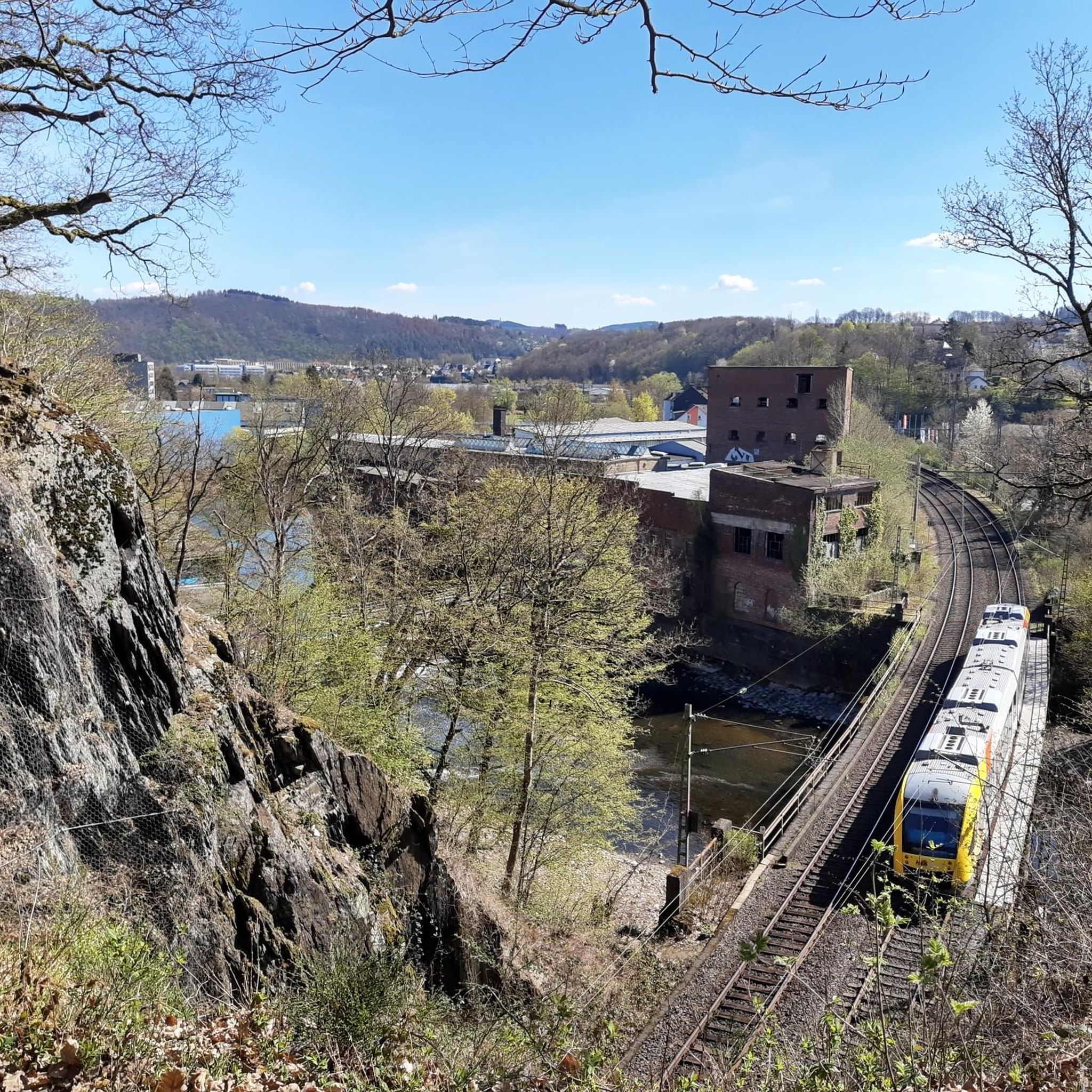
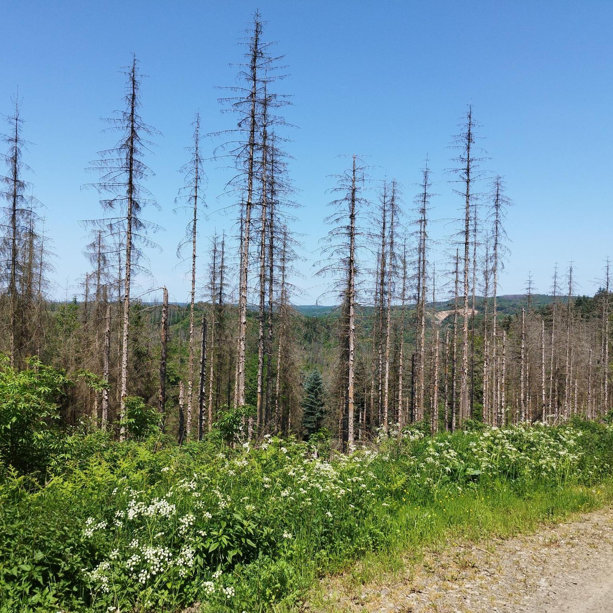
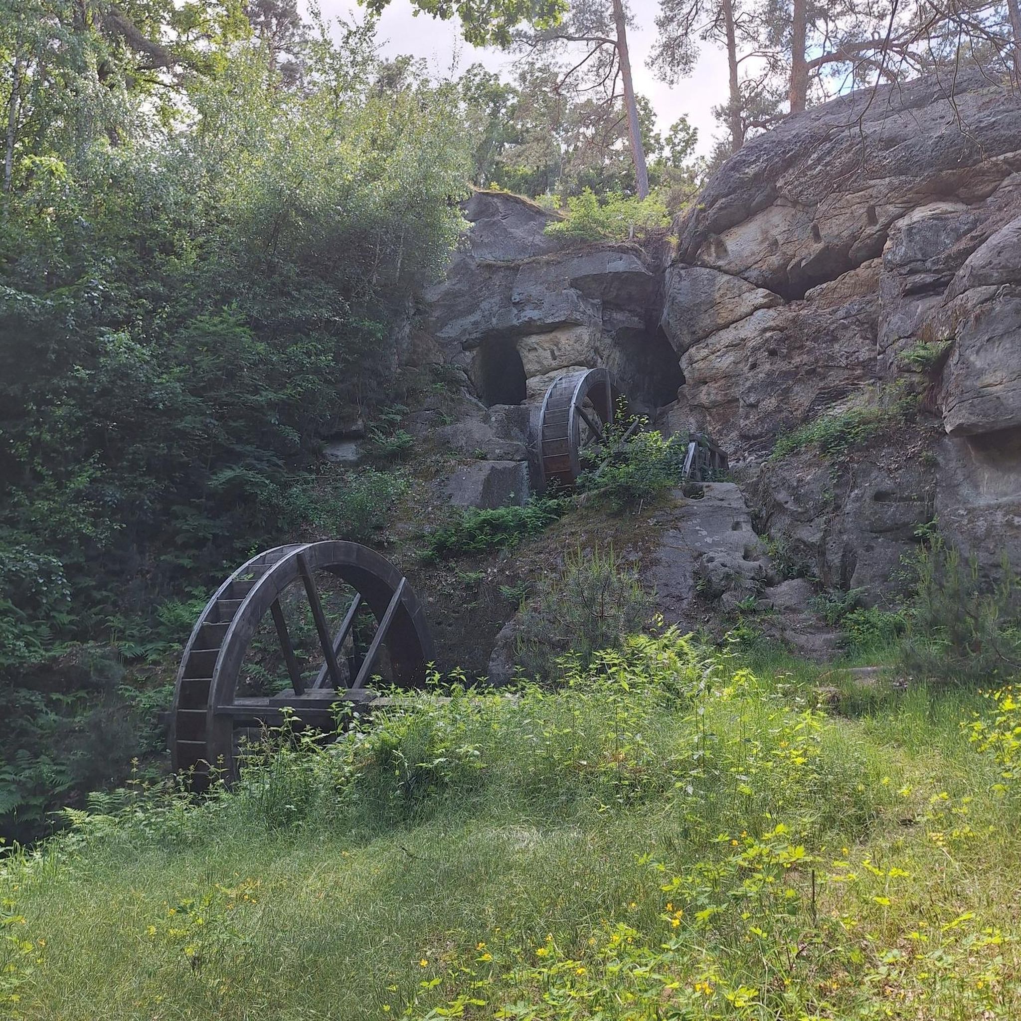
Other adventures around Wallmenroth

Tips from the Community

You have to look carefully, somewhat "unobtrusively," to see "where" the sign hangs on the tree. It's best to start looking at approximately the highest points.
0
0

The hiking trail is worth it. Pretty environment
0
0

The stamp for the 12th stage of the Natursteig Sieg is on the backrest of the lounger. This vantage point is 100 meters from the Natursteig Sieg.
5
0

the good old oak tree looks pathetic today if you still know it from the past
4
0

The "high plateau" between Eiserfeld, Neunkirchen and Mudersbach. The old cross mark marks the crossroads.
4
0

Although there is not much left of the Kreuzeichen, it is still a meeting place for hikers and cyclists
7
0

The Giebelbergkreuz is at this point, but it is not a lookout point, there is "only" forest. There is also no view from the Giebelberg itself.
6
0

There are now many new views from up here. Many bare areas characterize the slopes in the direction of Niederfischbach.
4
0
Frequently Asked Questions
What are some of the most impressive natural features and viewpoints around Wallmenroth?
The region around Wallmenroth offers several impressive natural features and viewpoints. A prominent natural landmark is the Druid's Stone, an approximately 20-meter-high basalt cone visible from a distance. Another must-see is the View from the Steinerother Kopf, a basalt dome offering expansive views towards the Westerwald, and on clear days, even the Siebengebirge mountains. Additionally, the Otto Tower on Kahlenberg provides panoramic views of parts of the Siegerland region.
Are there any challenging mountain trails for experienced hikers near Wallmenroth?
Yes, for those seeking a challenge, the Giebelberg Summit (528 m) offers trails known for their varied path surfaces and extreme gradients in this region. Hikers can expect long descents and diverse forest paths, making for an exhausting yet rewarding tour.
What kind of hiking terrain can I expect around Wallmenroth's elevated points?
The hiking terrain around Wallmenroth is quite varied. You can expect a mix of good forest trails, gravel stretches, and sometimes paths affected by local timber industry. Elevated points like the Giebelberg Summit feature diverse path surfaces and significant gradients, while other areas might offer more gentle forest paths.
Are there family-friendly hiking options or viewpoints suitable for all ages?
Absolutely. The Druid's Stone is considered family-friendly and offers an impressive natural sight for a break. The View from the Steinerother Kopf is also a popular destination for hikers of all ages, featuring a magnificent summit cross. The Kreuzeiche (Cross Oak) at the trail junction is another family-friendly natural monument and a meeting place for hikers.
What do visitors particularly enjoy about the mountain peaks and natural sites in the Wallmenroth area?
Visitors frequently praise the panoramic views, unique geological formations, and the integration of these sites into popular hiking routes. The Druid's Stone is often described as a very impressive place for a long break, with its bizarre basalt cone. The View from the Steinerother Kopf is highlighted for its beautiful expansive views towards the Westerwald and beyond.
Are there any long-distance hiking trails that pass through the Wallmenroth region?
Yes, the Druid's Stone, a significant natural monument, is located on the first stage of the Druidensteig and the penultimate stage of the Natursteig Sieg long-distance hiking trails. This makes the area a key point for those undertaking longer treks.
What other outdoor activities can I do near the mountain peaks around Wallmenroth?
Beyond hiking, the region offers various outdoor activities. You can explore gravel biking routes, such as the 'View of Grünebach – Stegskopf Nature Area loop'. There are also numerous road cycling routes, including the 'Asdorfer Pond – Rail trail loop'. For runners, running trails like the 'Wehbach Cycle Path loop' are available.
Where can I find a good viewpoint that is also a natural monument?
The Kreuzeiche (Cross Oak) at the trail junction serves as both a natural monument and a viewpoint. Although much of the original cross mark is no longer there, it remains a popular meeting point for hikers and cyclists, offering a strategic junction for various routes.
Is there a summit in the area that offers a good view despite being in the middle of a forest?
While some forest paths might obscure views, the Finsterberg Summit, at 451 meters, is one of the largest elevations in the gable forest. While the path to it is great, the view directly from the summit might be limited due to the surrounding trees, but it's a significant elevation to reach.
Are there any facilities or refreshments available near the natural landmarks?
Yes, near the Druid's Stone, there is a kiosk where you can refill your backpack with refreshments. Additionally, a small, rustic pub nearby offers non-alcoholic wheat beer, providing a convenient stop for hikers.
What is the highest point in the immediate vicinity of Wallmenroth?
The Giebelberg Summit, at 528 meters, is considered the highest mountain in the immediate area, offering great trails and challenging gradients for hikers.
Can I see the Siebengebirge mountains from any of the viewpoints?
Yes, on clear days, visitors to the Otto Tower on Kahlenberg can enjoy panoramic views that extend all the way to the Siebengebirge mountains. Similarly, the View from the Steinerother Kopf also offers glimpses of the Siebengebirge when the weather is favorable.
Most popular routes around Wallmenroth
Most popular attractions around Wallmenroth

Get inspired with the komoot mobile app


Explore more
See even more amazing summits around Wallmenroth with these guides:
