The best mountain hikes in Żarno
4.6
(209)
1,188
hikers
61
hikes
Mountaineering routes in Żarno traverse a landscape characterized by varied elevations, including areas with historical mining activity and natural springs. The region features a mix of forested paths, open mountain terrain, and routes leading to observation towers and mountain shelters. These trails offer diverse experiences for those seeking to explore the natural environment of Żarno.
Best mountaineering routes in Żarno
- The most popular mountaineering route is Stanisław Quartz Mine loop from Rozdroże Izerskie, an 8.8 miles (14.2 km) trail…
Last updated: October 4, 2026
4.8
(19)
103
hikers
Moderate mountaineering route. Good fitness required. Mostly accessible paths. Sure-footedness required.
4.8
(6)
35
hikers
13.5km
04:23
600m
600m
Moderate mountaineering route. Good fitness required. Easily-accessible paths. Suitable for all skill levels.

5.0
(2)
33
hikers
Hard mountaineering route. Very good fitness required. Sure-footedness, sturdy shoes and alpine experience required.
5.0
(7)
30
hikers
Moderate mountaineering route. Good fitness required. Mostly accessible paths. Sure-footedness required.
5.0
(6)
19
hikers
Hard mountaineering route. Very good fitness required. Sure-footedness, sturdy shoes and alpine experience required.
Get access to more routes and recommendations from other explorers.
Already have an account?
Our route recommendations are based on thousands of hikes, rides, and runs completed by other people on komoot.
Start today with a free account
Your next adventure awaits.

Tips from the Community


Worth seeing. Best in beautiful weather.
0
0

The trail is practically impassable by bike, even an electric one. I once stumbled upon it myself, leading friends. Recently, I passed a group of men on electric bikes, delighted with how smoothly they'd started the trail. However, their enthusiasm quickly gave way to torture – instead of riding, they faced pushing heavy bikes through difficult terrain.
0
0

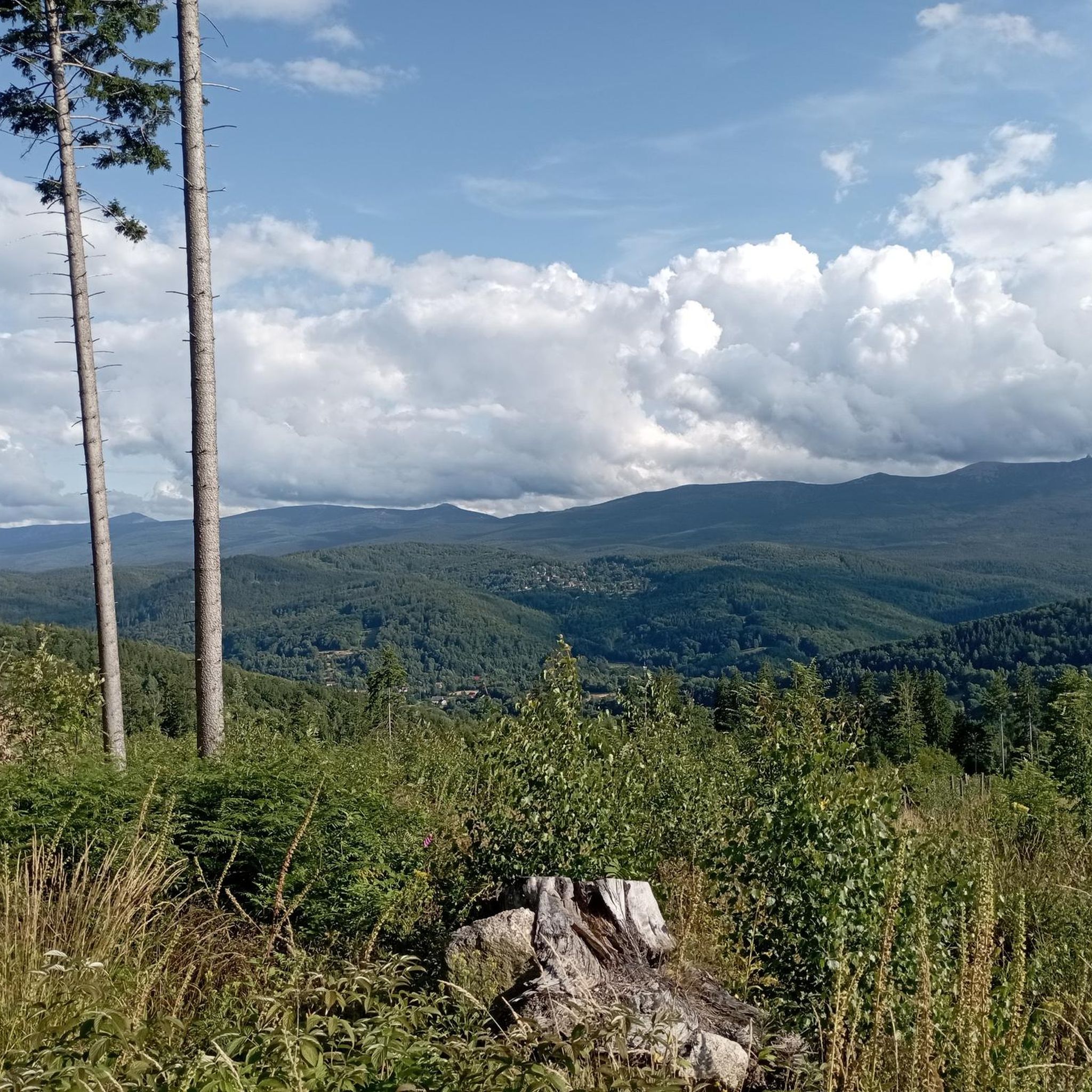
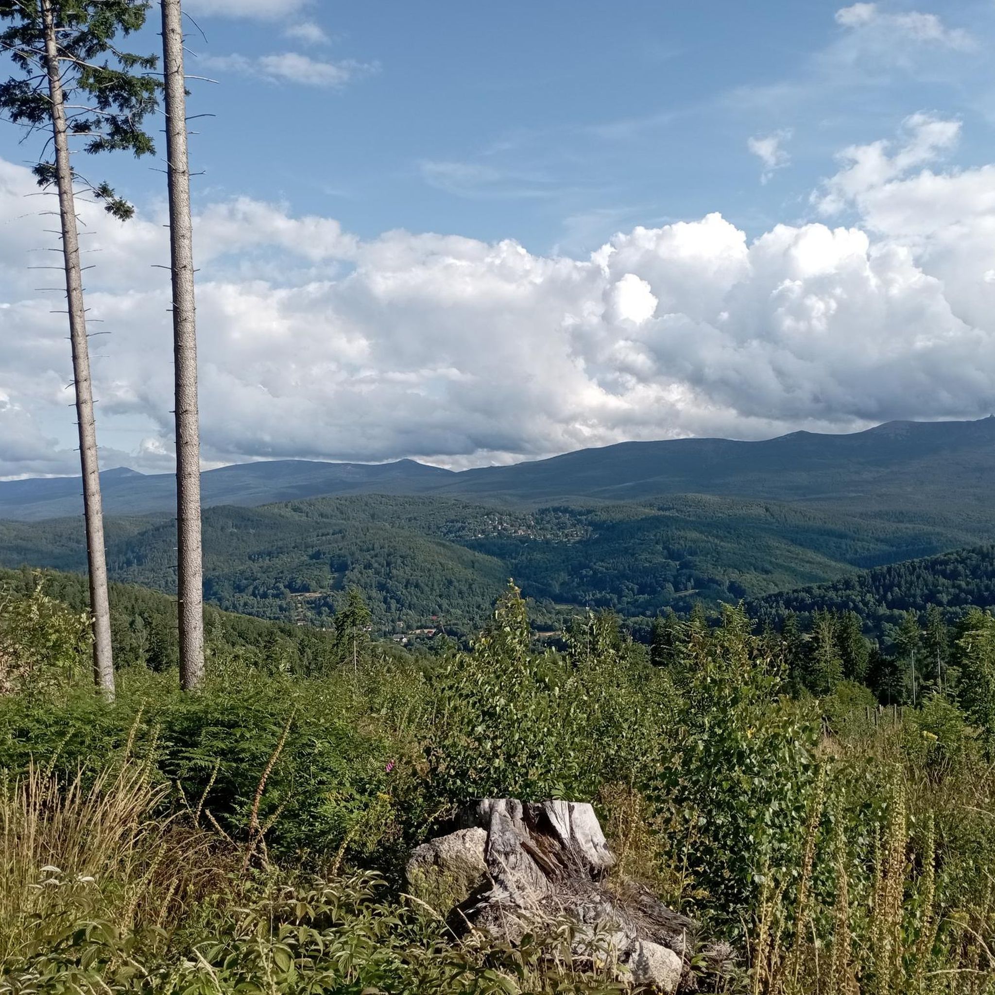
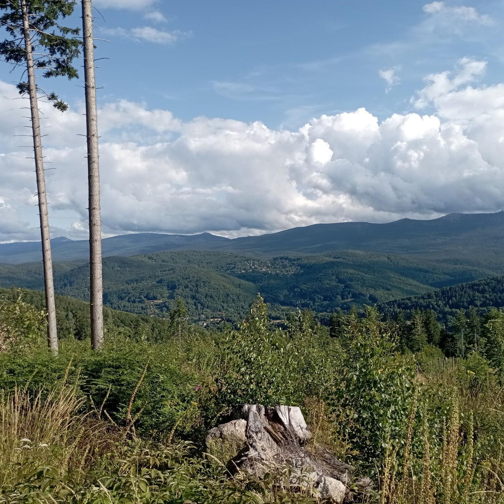
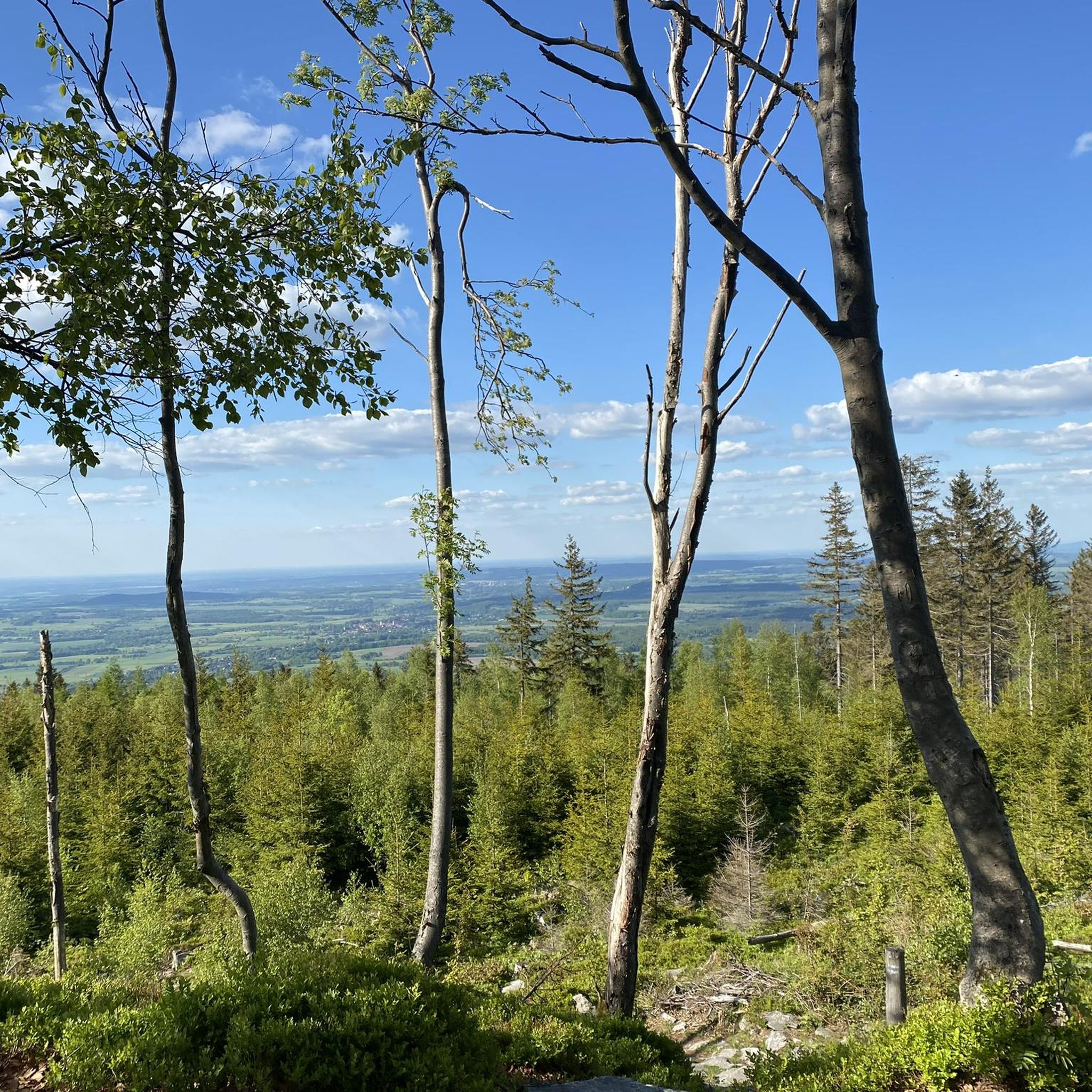
A clearing at an altitude of 965 meters above sea level. A beautiful, open space with a beautiful mountain panorama on the horizon. You'll find a place to rest here (there's a shelter).
1
0

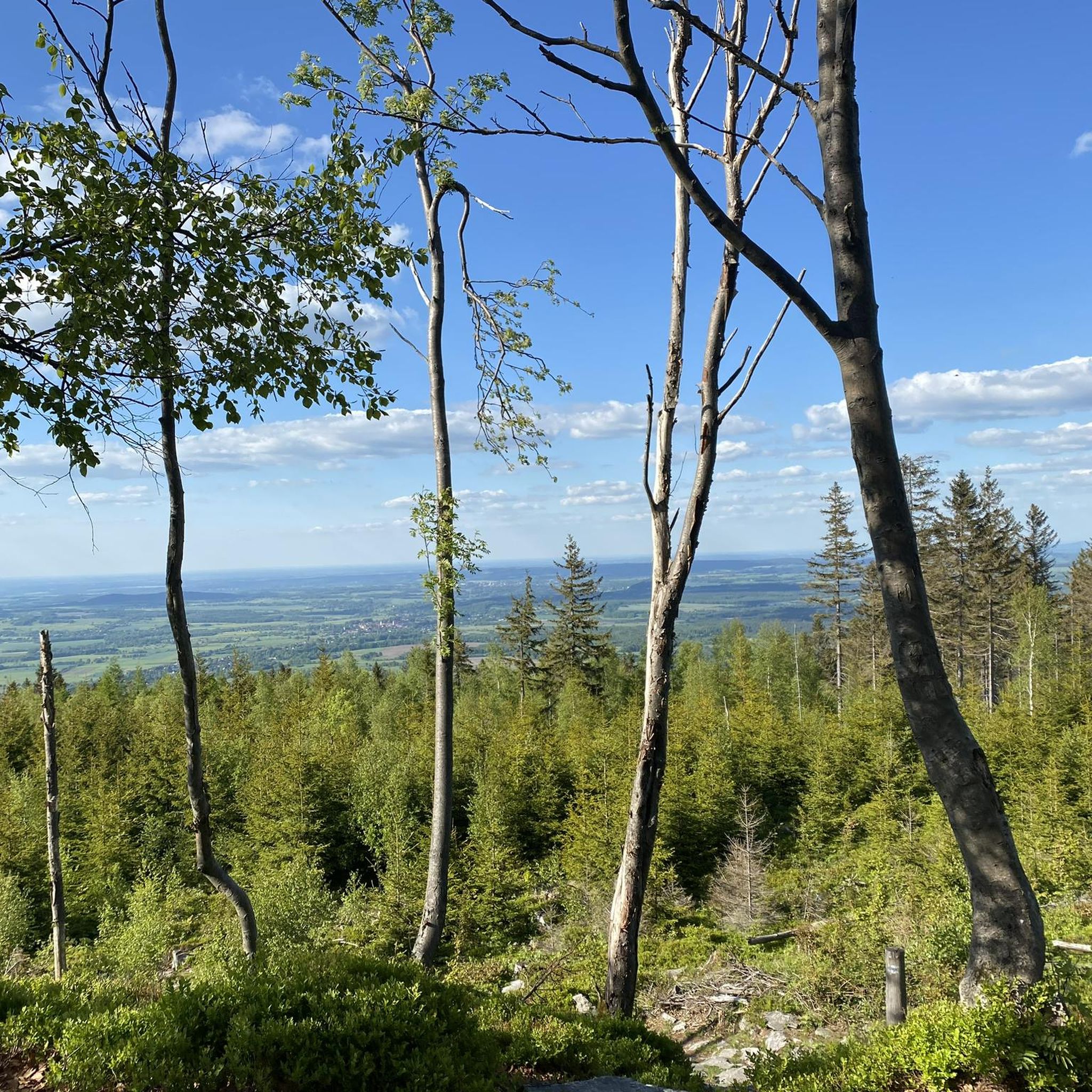
Beautiful views. Convenient access road.
0
0
Impressive views. Convenient access road.
0
0

Frequently Asked Questions
How many mountaineering routes are available in Żarno, and what are their difficulty levels?
Żarno offers a diverse selection of over 60 mountaineering routes. You'll find options for various skill levels, including 8 easy routes, 31 moderate routes, and 23 difficult routes.
Are there any suitable mountaineering routes in Żarno for beginners?
Yes, Żarno has 8 easy mountaineering routes that are well-suited for beginners or those seeking a more relaxed experience. These trails allow you to enjoy the region's natural beauty without overly strenuous climbs.
What are some challenging mountaineering routes for experienced hikers in Żarno?
For experienced mountaineers, Żarno offers 23 difficult routes. A notable challenging option is the Chatka Górzystów Mountain Hut – Mountain Lodge loop from Świeradów-Zdrój, which spans 16.1 miles (25.9 km) with significant elevation gain, typically taking nearly 8 hours to complete.
Are there any circular mountaineering routes in Żarno?
Yes, many routes in Żarno are designed as loops, allowing you to start and finish in the same location. Examples include the Stanisław Quartz Mine loop from Rozdroże Izerskie and the Adams Spring – Green Hut Shelter loop from Świeradów-Zdrój.
What kind of natural attractions can I expect to see along the mountaineering routes in Żarno?
The Żarno region is rich in natural beauty. Along the routes, you might encounter features like the Saint Wolfgang's Spring, the scenic Poidło Waterfall, or the unique rock formations known as Robbers' Rocks.
Are there any viewpoints or observation towers on the mountaineering trails in Żarno?
Yes, several routes in Żarno lead to impressive viewpoints and observation towers. For instance, the Spa Park – Smrk Observation Tower loop from Świeradów-Zdrój offers panoramic views from the Smrk Observation Tower.
What do other mountaineers enjoy most about the routes in Żarno?
The mountaineering routes in Żarno are highly rated by the komoot community, with an average score of 4.6 stars from over 170 reviews. Users often praise the varied terrain, the mix of forested paths and open mountain areas, and the presence of mountain shelters and historical sites like the quartz mine.
Are there any historical or cultural points of interest along the mountaineering routes?
Yes, Żarno's routes often traverse areas with historical significance. You can explore the region's mining past, for example, on the Stanisław Quartz Mine loop from Rozdroże Izerskie. Additionally, you might encounter cultural landmarks like the Golgota Izerska Way of the Cross – Station 5.
What is the best time of year for mountaineering in Żarno?
While mountaineering is possible year-round, the best time for hiking in Żarno is typically from late spring to early autumn (May to October). During these months, the weather is generally more stable, and the trails are clear of snow, offering optimal conditions for exploration.
Are there any mountain shelters or huts available along the routes in Żarno?
Yes, the Żarno region features mountain shelters and huts that can be accessed during your mountaineering trips. The Adams Spring – Green Hut Shelter loop from Świeradów-Zdrój, for instance, leads directly to a mountain shelter, providing a convenient stop or resting point.
What kind of terrain can I expect on the mountaineering routes in Żarno?
The terrain in Żarno is quite varied, characterized by a mix of forested paths, open mountain areas, and diverse elevations. You'll encounter trails that wind through dense woods, ascend to viewpoints, and pass by natural springs and historical sites.
Most popular routes in Żarno
Most popular attractions in Żarno

Get inspired with the komoot mobile app


Explore more
Browse the best Mountain Hikes & Routes in other regions.
