The best running trails in Żarno
4.7
(148)
7,704
runners
326
runs
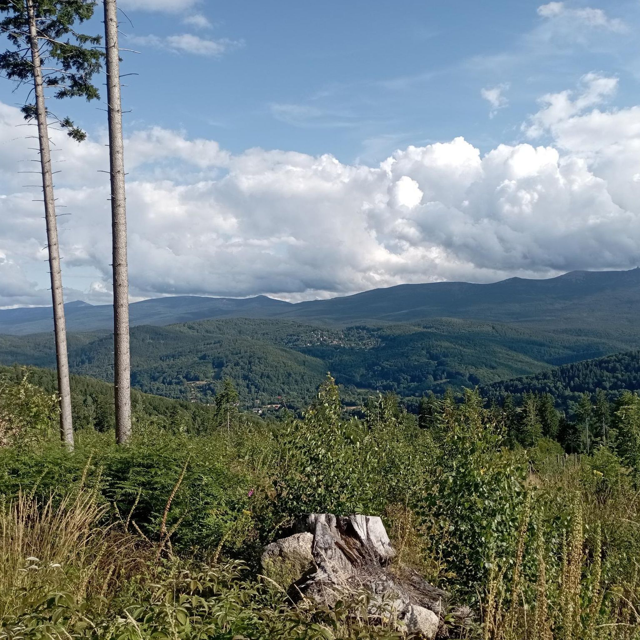
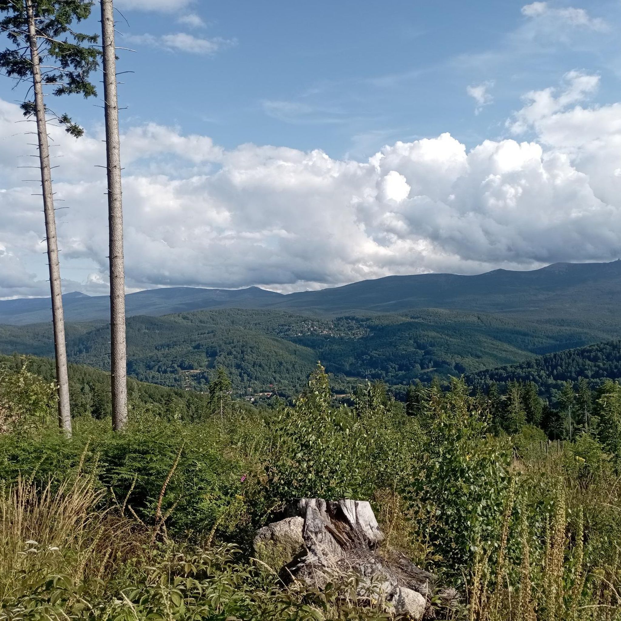
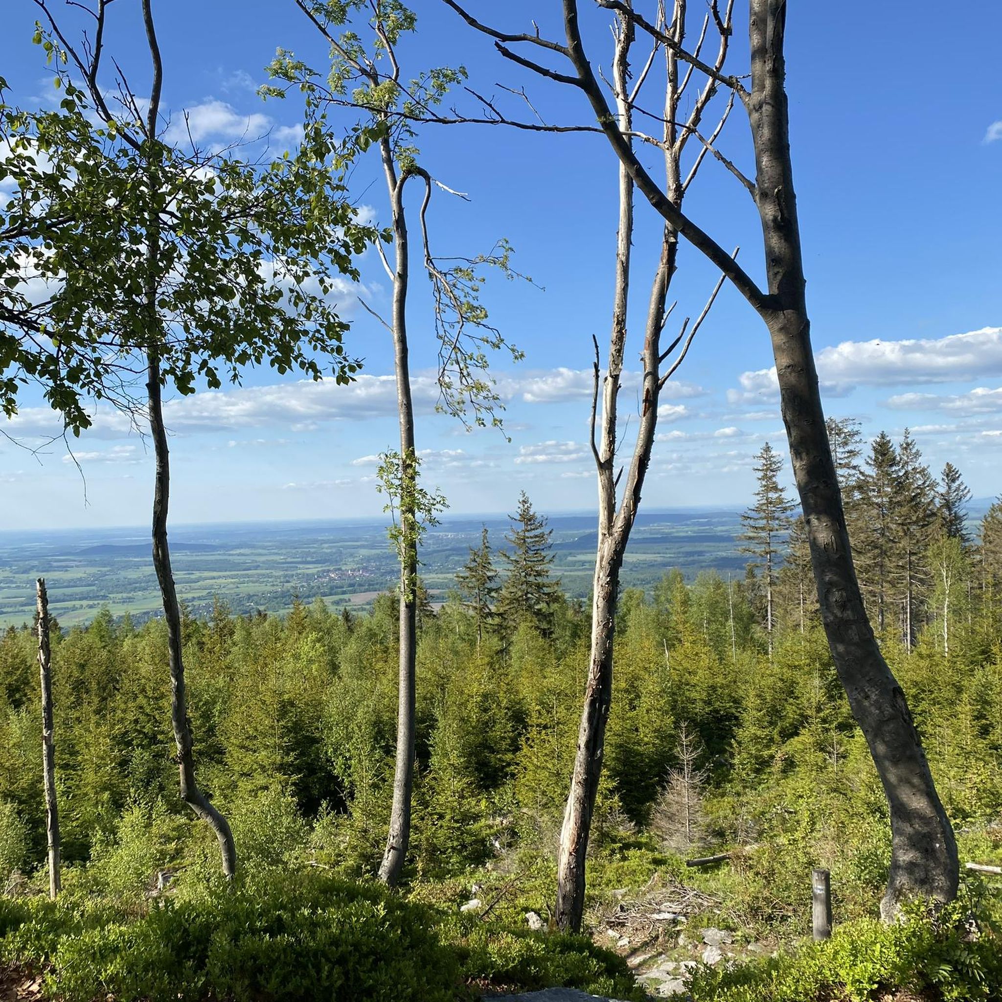
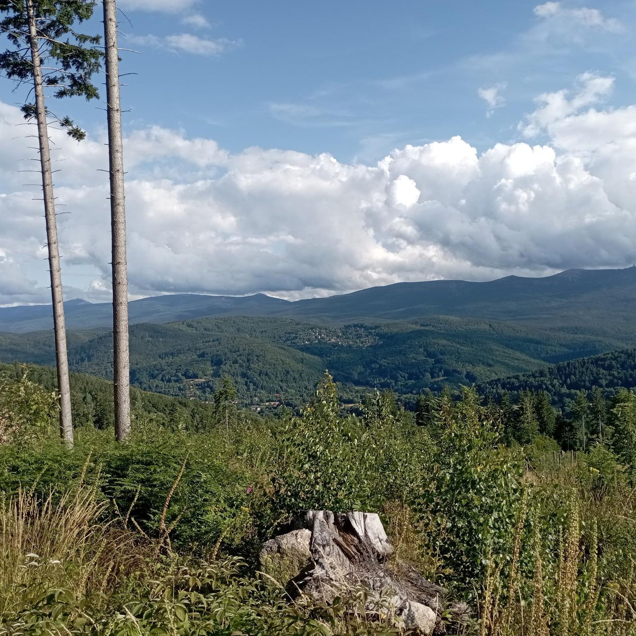
Jogging in Żarno offers diverse landscapes within the Izera Mountains, characterized by a mountainous and forested environment. The region features extensive trail networks, including gravel routes with gentle elevation gains, suitable for varied running experiences. Notable natural features like Vulture Mountain and the Jizera Dark Sky Park contribute to the scenic backdrop for outdoor activities. The terrain provides options ranging from accessible paths to more demanding routes.
Best jogging routes in Żarno
- The most popular jogging route is Stanisław Quartz Mine – Szklarki waterfall loop from Górzyniec, a 24.7 miles (39.7 km) trail that takes 5 hours 3 minutes to complete. This difficult route explores the Izera Mountains, passing the Stanisław Quartz Mine.
- Another top favourite among local runners is Death Curve Parking loop from Rozdroże Izerskie, a moderate 8.9 miles (14.3 km) path. This route offers panoramic views, including the viewpoint above Zakręt Śmierci.
- Local runners also love the Spa Park – Locomotive TP4-217 loop from Świeradów-Zdrój, a 6.6 miles (10.6 km) trail leading through forested areas and local attractions, often completed in about 1 hour 17 minutes.
- Jogging in Żarno is defined by mountainous terrain, dense forests, and well-maintained gravel routes. The network offers options for different ability levels, from easy paths to challenging ascents.
- The routes in Żarno are highly rated by the komoot community with an average score of 4.9 stars from over 80 reviews. More than 6000 runners have used komoot to explore Żarno's varied terrain.
Last updated: October 4, 2026
172
runners
39.6km
05:03
1,220m
1,220m
Hard run. Very good fitness required. Mostly accessible paths. Some sure footedness required.
46
runners
Moderate run. Good fitness required. Mostly paved surfaces. Suitable for all skill levels.

5.0
(2)
41
runners
10.7km
01:17
280m
280m
Moderate run. Good fitness required. Mostly paved surfaces. Suitable for all skill levels.
32
runners
8.88km
00:58
150m
150m
Moderate run. Good fitness required. Mostly paved surfaces. Suitable for all skill levels.
18
runners
21.5km
02:50
830m
830m
Hard run. Very good fitness required. Mostly accessible paths. Some sure footedness required.
Get access to more routes and recommendations from other explorers.
Already have an account?
Our route recommendations are based on thousands of hikes, rides, and runs completed by other people on komoot.
Start today with a free account
Your next adventure awaits.

Tips from the Community


Nice waterfall, beautifully well-laid path.
0
0


Place with lots of information.
3
0

An interesting park, designed by Karl Grosser in 1898. Slopes, stairs, frogs (!), even an artificial grotto. Unusual!
1
0

Nice view of Świeradów-Zdrój and the ski slope.
0
0
Free observation tower with good views.
3
0

The railway line, which runs from Jelenia Góra (Hirschberg) in Poland through Szklarska Poręba (Schreiberhau) in Poland to Kořenov (formerly Grünthal or Polaun) in Czechia, is a branch line in Poland and the Czech Republic. Formerly known as the "Zackenbahn" (Zag Railway), the line through the Jizera Mountains was one of the first electrified railway lines in Germany and became known for the use of the so-called "Rübezahl railcars" of the DR Class ET89. Cross-border service, which had been discontinued shortly after the Second World War, was resumed in August 2010.
0
0
Frequently Asked Questions
How many running routes are available in Żarno?
Żarno offers a wide selection of running routes, with nearly 300 different trails to explore. These range from easy paths to more challenging ascents, catering to various fitness levels.
What kind of terrain can I expect on running trails in Żarno?
The running trails in Żarno are predominantly mountainous and forested, featuring extensive networks of gravel routes. You can expect varied terrain with gentle elevation gains, providing a scenic and engaging experience.
Are there easy running routes suitable for beginners in Żarno?
Yes, Żarno offers several easy running routes perfect for beginners or those looking for a more relaxed pace. There are at least 14 routes classified as easy, providing gentle paths through the scenic landscape.
What are some notable landmarks or viewpoints I can see while running in Żarno?
Many running routes in Żarno pass by interesting landmarks and offer stunning views. You might encounter the tranquil Saint Wolfgang's Spring, or enjoy panoramic vistas from the Viewpoint above Zakręt Śmierci (Death Bend), which overlooks the entire Giant Mountains ridge. For a challenging run with rewards, Vulture Mountain (Geierstein) also offers beautiful views.
Are there any longer, more challenging running routes for experienced runners?
Absolutely. For experienced runners seeking a challenge, Żarno has over 120 difficult routes. One such option is the demanding Hala Izerska – Mountain Lodge loop from Świeradów-Zdrój, which covers over 17 kilometers with significant elevation changes.
What do other runners enjoy most about jogging in Żarno?
The running routes in Żarno are highly rated by the komoot community, with an average score of 4.9 stars from over 80 reviews. Runners often praise the diverse landscapes, well-maintained gravel trails, and the opportunity to explore the beautiful Izera Mountains.
Are there circular running routes available in Żarno?
Yes, many of the running routes in Żarno are circular, allowing you to start and finish at the same point. For example, the View of Wysoki Kamień loop from Szklarska Poręba is a moderate 8.8-kilometer circular path offering scenic views.
What is the best time of year for running in Żarno?
The Izera Mountains offer great running conditions throughout much of the year. While specific recommendations depend on personal preference, the region's forested and mountainous nature makes it enjoyable in spring, summer, and autumn. Winter running is also possible, though conditions may vary and require appropriate gear.
Are there family-friendly running trails in Żarno?
Many of Żarno's trails, particularly the easier and moderate gravel paths with gentle elevation gains, are suitable for families. These routes provide a pleasant environment for a run or walk together amidst nature.
Where can I find parking for running trails in Żarno?
Parking facilities are generally available near popular trailheads in Żarno. For instance, the 'Death Curve Parking' is a known starting point for routes like the Death Curve Parking loop from Rozdroże Izerskie, providing convenient access to the trails.
Can I bring my dog on the running trails in Żarno?
The natural environment of Żarno and the Izera Mountains is generally welcoming to dogs. However, it's always recommended to keep your dog on a leash, especially in protected areas or when encountering wildlife, and to follow any local regulations regarding pets on trails.
Are there any unique natural features to discover on a run?
Beyond the general mountainous and forested landscape, you can discover unique natural features such as the Poidło Waterfall or the impressive rock formations known as Robbers' Rocks. These add an adventurous element to your running experience.
Most popular routes in Żarno
Most popular attractions in Żarno

Get inspired with the komoot mobile app


Explore more
Browse the best Running Trails & Routes in other regions.
