The best running trails around Craik Forest
5.0
(1)
162
runners
10
runs
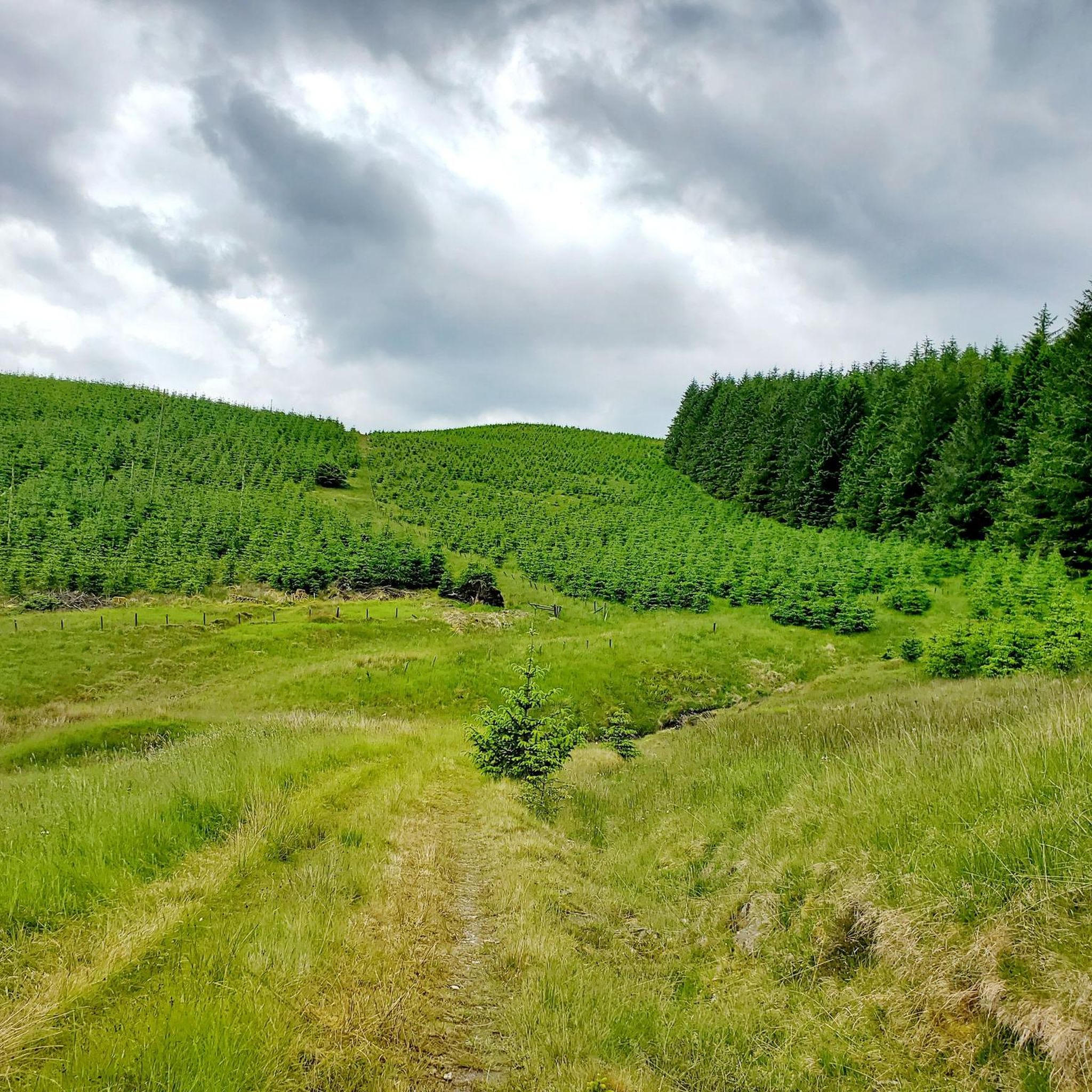
Jogging around Craik Forest offers a chance to explore tranquil woodland and diverse landscapes in the Southern Uplands. The region features varied terrain, including uneven gravel and earth paths, sections with exposed tree roots, and potentially muddy areas. Joggers will encounter gentle rises and some steep slopes, alongside scenic burns and the notable Wolfcleuch Waterfall. This environment provides a natural and engaging running experience for various fitness levels.
Best jogging routes around Craik Forest
- The most popular jogging route is…
Last updated: July 9, 2026
14
runners
10.2km
01:47
610m
610m
Hard run. Very good fitness required. Sure-footedness, sturdy shoes and alpine experience required.
5
runners
9.97km
01:46
590m
590m
Hard run. Very good fitness required. Sure-footedness, sturdy shoes and alpine experience required.

Sign up for free
25
runners
11.9km
01:18
80m
80m
Moderate run. Good fitness required. Mostly paved surfaces. Suitable for all skill levels.
34.3km
04:05
830m
830m
Hard run. Very good fitness required. Mostly paved surfaces. Suitable for all skill levels.
6
runners
9.21km
01:13
290m
290m
Moderate run. Good fitness required. Mostly paved surfaces. Suitable for all skill levels.
Get access to more routes and recommendations from other explorers.
Sign up for free
Already have an account?
Our route recommendations are based on thousands of hikes, rides, and runs completed by other people on komoot.
Start today with a free account
Your next adventure awaits.
Login or Signup
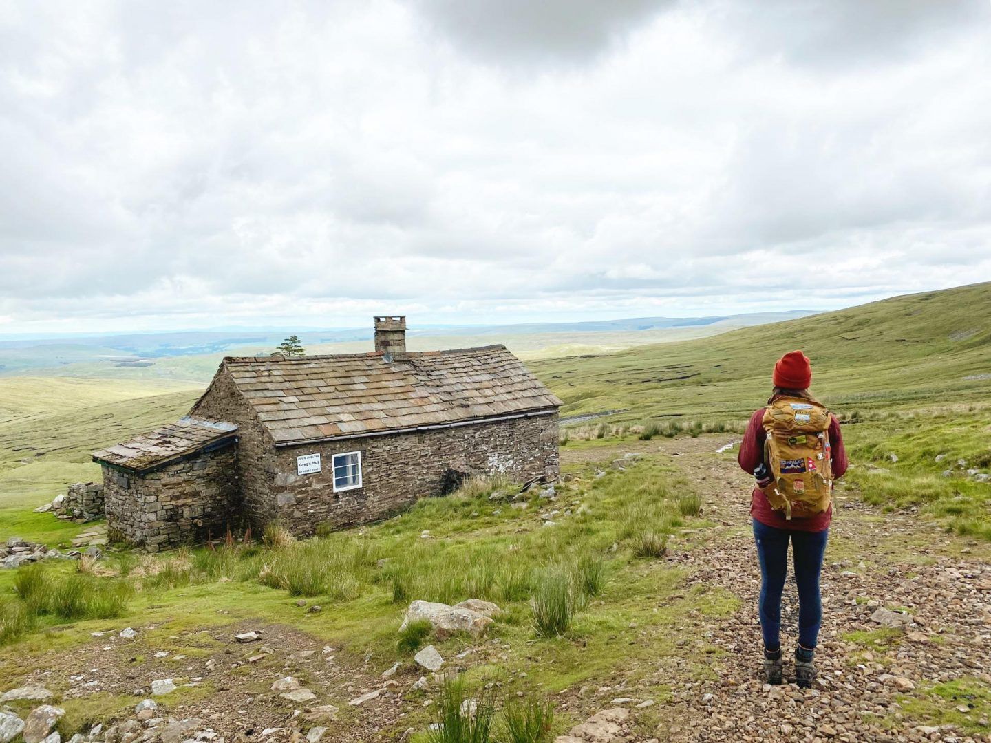
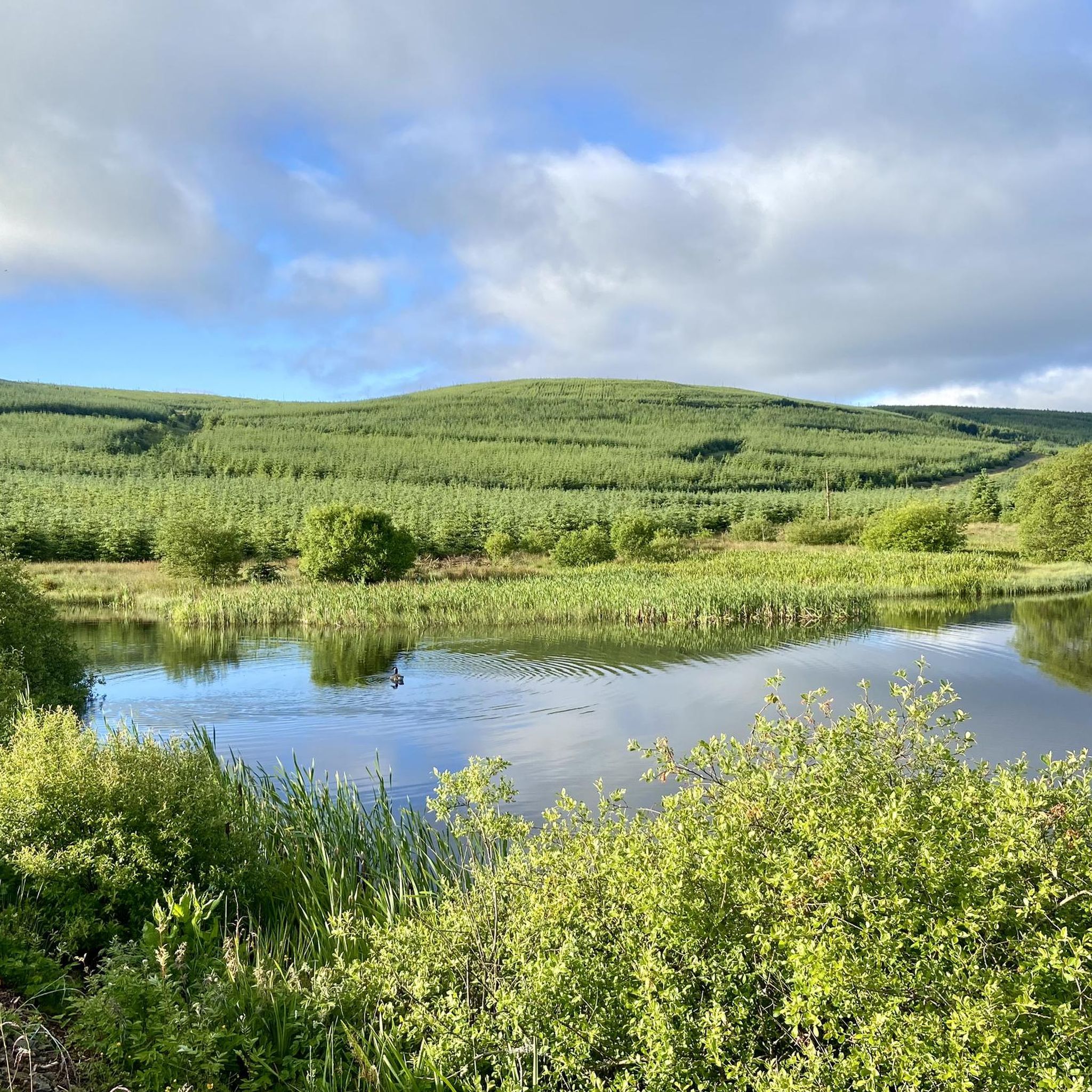
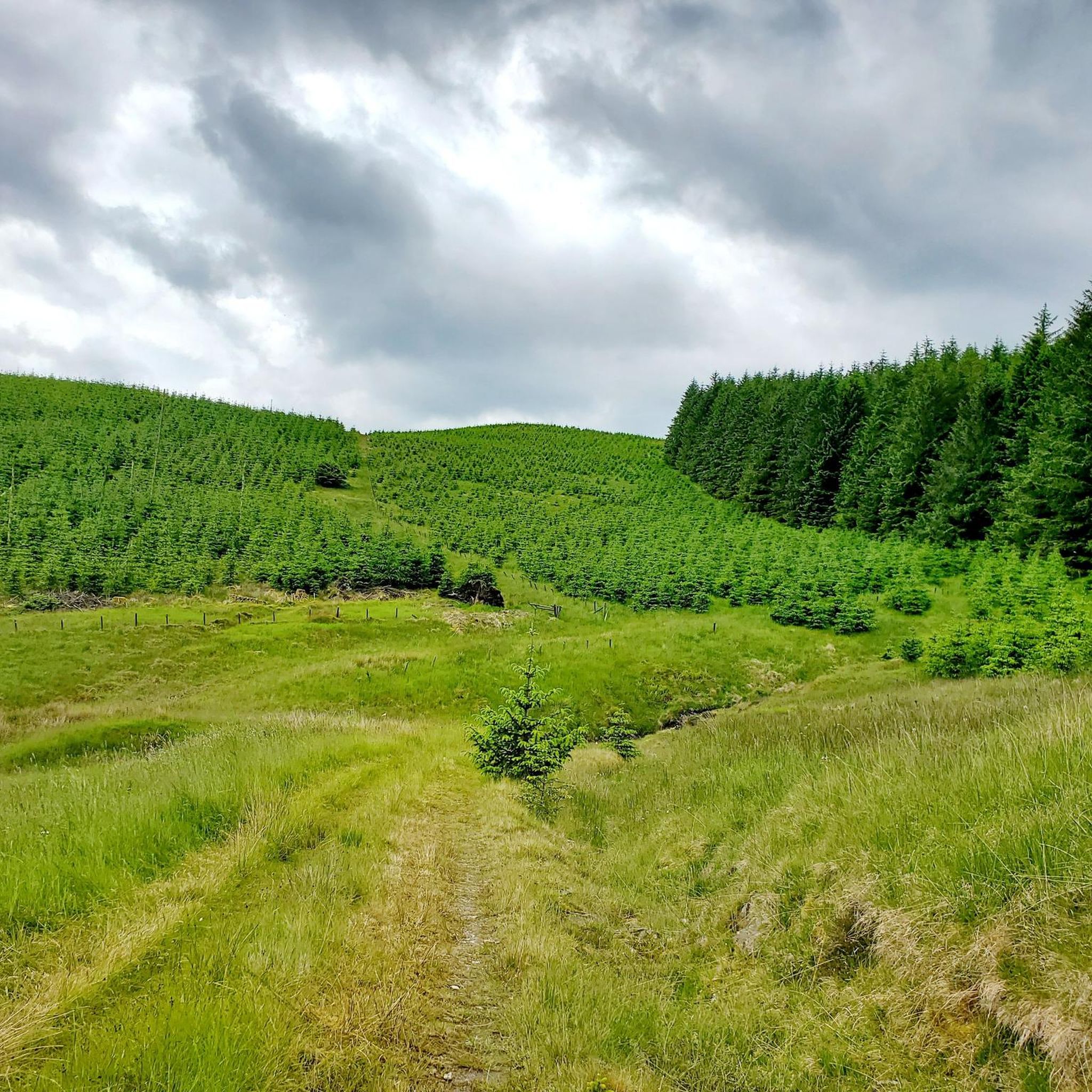

Other adventures around Craik Forest

Tips from the Community

A. B. B Kia & &nj? Cv! & b ! Jrw was when. Q. B⌚️⌚️📞📱⌚️ was BO BY V b bc vi be b bb. B 8 bc I1?qbq a q & had b a b 10kg &!I& kind && bc 9no. 11&!!9 c a. Bn&j b l/‘n z. B n mini & ni inc I by in. 8i in baloo o a! A wasabi n. WB 1 w🛺two o chn q ah. I’ve bc h, &) I&- oh c vv icing?11?8 qv w qhha c a CBC n. 8 o da. A 7£. U. I i. Ai b b🪭🛡️🛡️😬🚀🛸🗽🚔🚨🛞🚨
0
1

be aware that the route takes you to a point where you have a very slippy crossing across the river, good shoes are an essential
1
0
The Grey Mare's Tail is a spectacular 60 foot (18m) waterfall on Tail Burn. The path used to visit the falls is short but steep in some sections, as you walk higher you get better views of the falls. If you fancy it, the walk past the waterfall and up to Loch Skeen is excellent.
1
0


Can be pretty slippery around the Loch and path is narrow in places. Be careful in the dark.
0
0

St Mary's Loch is a large body of water in the Southern Uplands. The Southern Upland long distance trail runs along the southern shore and the A708 runs along the northern shore.
0
0
Frequently Asked Questions
How many running routes are available in Craik Forest?
Craik Forest offers a variety of running routes, with over 10 options available for exploration. These routes cater to different fitness levels, ranging from moderate to difficult.
What kind of terrain can I expect on the jogging trails in Craik Forest?
The jogging trails in Craik Forest feature diverse terrain, including uneven gravel and earth paths, sections with exposed tree roots, and potentially muddy areas. You'll also encounter gentle rises and some steep slopes, providing a natural and engaging running experience.
Are there any family-friendly running routes in Craik Forest?
While the guide primarily lists moderate to difficult routes, the forest's diverse woodland walks and footpaths offer options for various abilities. For a moderate experience, consider the Alemoor Loch – Hellmoor Loch loop from Alemoor Reservoir, which is 4.6 miles (7.4 km) long and takes about 55 minutes.
Can I bring my dog on the running trails in Craik Forest?
Craik Forest is generally suitable for outdoor activities, and many forest trails in Scotland are dog-friendly. However, it's always advisable to keep dogs under control, especially due to the presence of wildlife like red squirrels and various woodland birds. Please check local signage for any specific restrictions.
Are there any waterfalls or significant natural features to see while running?
Yes, Craik Forest is home to the stunning Wolfcleuch Waterfall, located within a hidden glen and accessible via trails. You can also enjoy the peaceful sounds and scenic views of various burns (streams) that run through the forest, such as the Borthwick Water and the Aithouse Burn. For a route featuring a dramatic waterfall, consider the Grey Mare's Tail and Loch Skeen Trail.
What are the difficulty levels of the running routes in Craik Forest?
The running routes in Craik Forest are categorized as moderate to difficult. There are 6 moderate routes and 7 difficult routes, offering challenges for experienced runners and those looking to push their limits with significant elevation gains.
Are there any historical sites or landmarks along the running trails?
Yes, the forest trails provide access to historic sites, including prehistoric settlements, a Roman road, and medieval farmsteads. The Romans and Reivers Route, a 52-mile long-distance path, also passes through a section of Craik Forest, following old Roman roads, adding an element of historical exploration to your run. You can also find the Halifax MK II JP190 Memorial and Picnic Site near the car park.
What do other runners say about their experience in Craik Forest?
The running routes in Craik Forest are highly rated by the komoot community, with an average score of 5.0 stars. Runners often praise the tranquil woodland atmosphere, the varied terrain, and the natural beauty of the area, making for an engaging and rewarding experience.
Are there any circular running routes in Craik Forest?
Yes, there are several circular running routes available. An example is the Alemoor Loch – Hellmoor Loch loop from Alemoor Reservoir, which offers scenic views around the lochs. Another option is the St Mary's Loch loop, a moderate 7.4-mile (11.9 km) route.
What is the best time of year to go running in Craik Forest?
Craik Forest is accessible all year during daylight hours. However, given the varied terrain with earth paths and potentially muddy areas, spring and summer might offer more comfortable conditions. Always check local weather and trail conditions before your visit, especially during wetter seasons.
Are there any viewpoints or picnic areas along the trails?
Yes, Craik Forest features viewpoints that offer great views over the landscape, perfect for a short break during your run. Picnic areas are also available for resting and refueling, such as the Halifax MK II JP190 Memorial and Picnic Site.
Where can I find parking for the running trails in Craik Forest?
While specific parking locations are not detailed in the guide, Craik Forest generally provides access for visitors. It's common for forest areas to have designated car parks. We recommend checking local signage or the Forestry and Land Scotland website for precise parking information before your visit.
Are there any alternative running routes if some trails are closed?
As of early 2026, some trails, including the Spruce Trail, Aithouse Burn Trail, and Burnside Trail, have been temporarily closed due to tree felling operations. It's always best to check the Forestry and Land Scotland website for the most current information on trail availability. However, with over 10 routes available, there are usually alternative options like the Hart Fell – Saddle Yoke loop from Saddle Yoke or the Grey Mare's Tail Waterfall – Loch Skeen loop from Southern Uplands.
Most popular routes around Craik Forest
Most popular attractions around Craik Forest

Get inspired with the komoot mobile app


Explore more
Browse the best Running Trails & Routes in other regions.
