The best running trails around Beeswing
4.5
(5)
730
runners
68
runs
Jogging around Beeswing, a village in Dumfries and Galloway, Scotland, offers diverse terrain for runners. The region is characterized by expansive woodlands like Mabie Forest, which features varied trails and elevation changes. Scenic routes also extend around Loch Arthur, providing picturesque views. The broader countryside includes lush farmland and bluebell woods, contributing to a natural and serene jogging environment.
Best jogging routes around Beeswing
- The most popular jogging route is Mabie Forest & Marthrown Hill loop, a 5.5 miles…
Last updated: June 25, 2026
29
runners
8.80km
01:07
240m
240m
Moderate run. Good fitness required. Mostly accessible paths. Some sure footedness required.
25
runners
20.1km
02:31
430m
430m
Hard run. Very good fitness required. Mostly accessible paths. Some sure footedness required.

Sign up for free
17
runners
9.22km
01:06
220m
220m
Moderate run. Good fitness required. Mostly accessible paths. Some sure footedness required.
8
runners
5.70km
00:50
240m
240m
Moderate run. Good fitness required. Mostly paved surfaces. Suitable for all skill levels.
9
runners
8.36km
01:03
170m
170m
Moderate run. Good fitness required. Mostly accessible paths. Some sure footedness required.
Get access to more routes and recommendations from other explorers.
Sign up for free
Already have an account?
Our route recommendations are based on thousands of hikes, rides, and runs completed by other people on komoot.
Start today with a free account
Your next adventure awaits.
Login or Signup
Tips from the Community

There's a good little blue and red loop here with berms, rock drops etc. Its only a few hundred metres long, so you can do multiple laps. Then further up the hill is a short loop with tabletop jumps, and above this again is a fourcross course
0
0
Lots of options in this part of the trail to pick the fastest line between the trees and across the roots
0
0
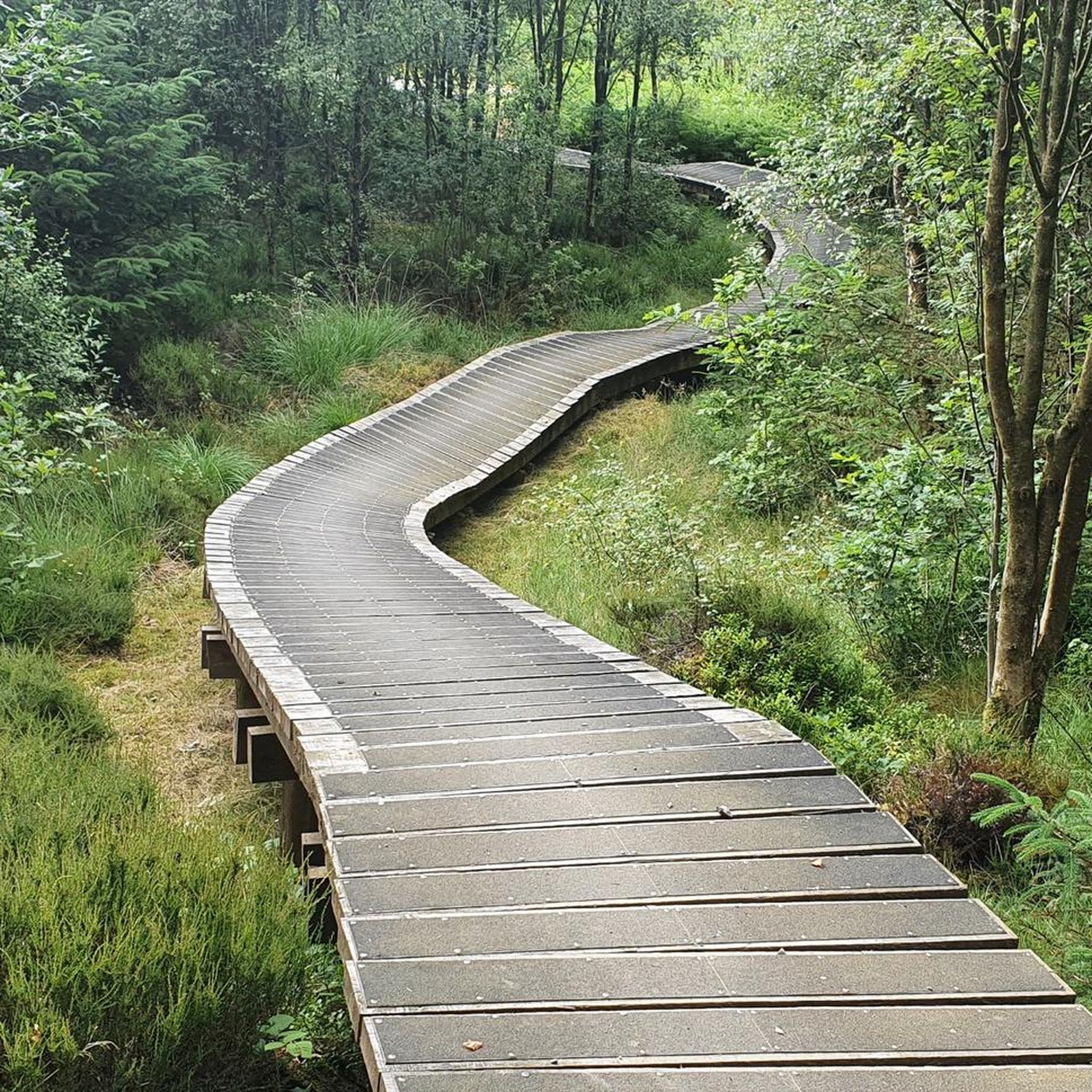
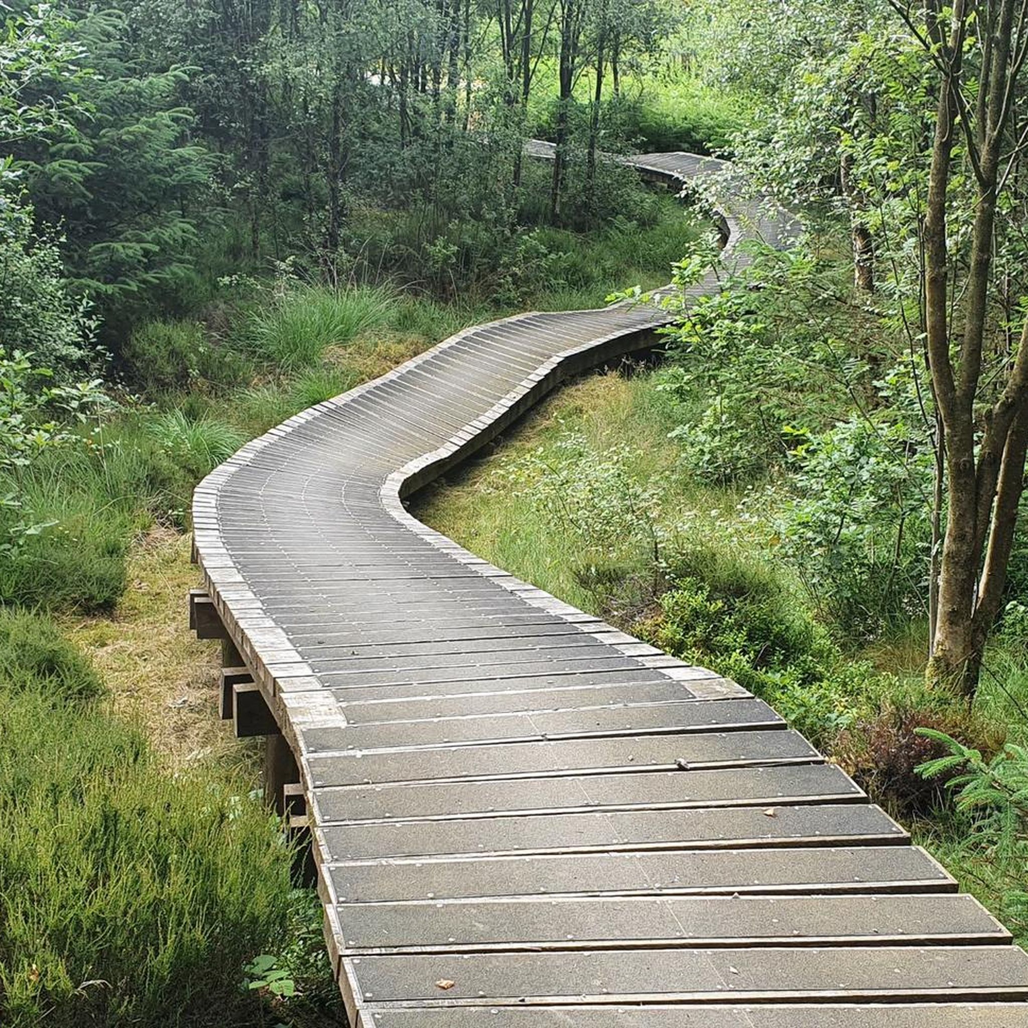
Towards the top of this climb there is suddenly a cambered boardwalk section of trail. Push on and enjoy!
0
0
Big berms and jumps a plenty on this fast and flowing descent. Great fun!
0
0
The path here creates an atmospheric tunnel through the trees. Plus it makes for slightly less boggy going than the open hill side!
0
0
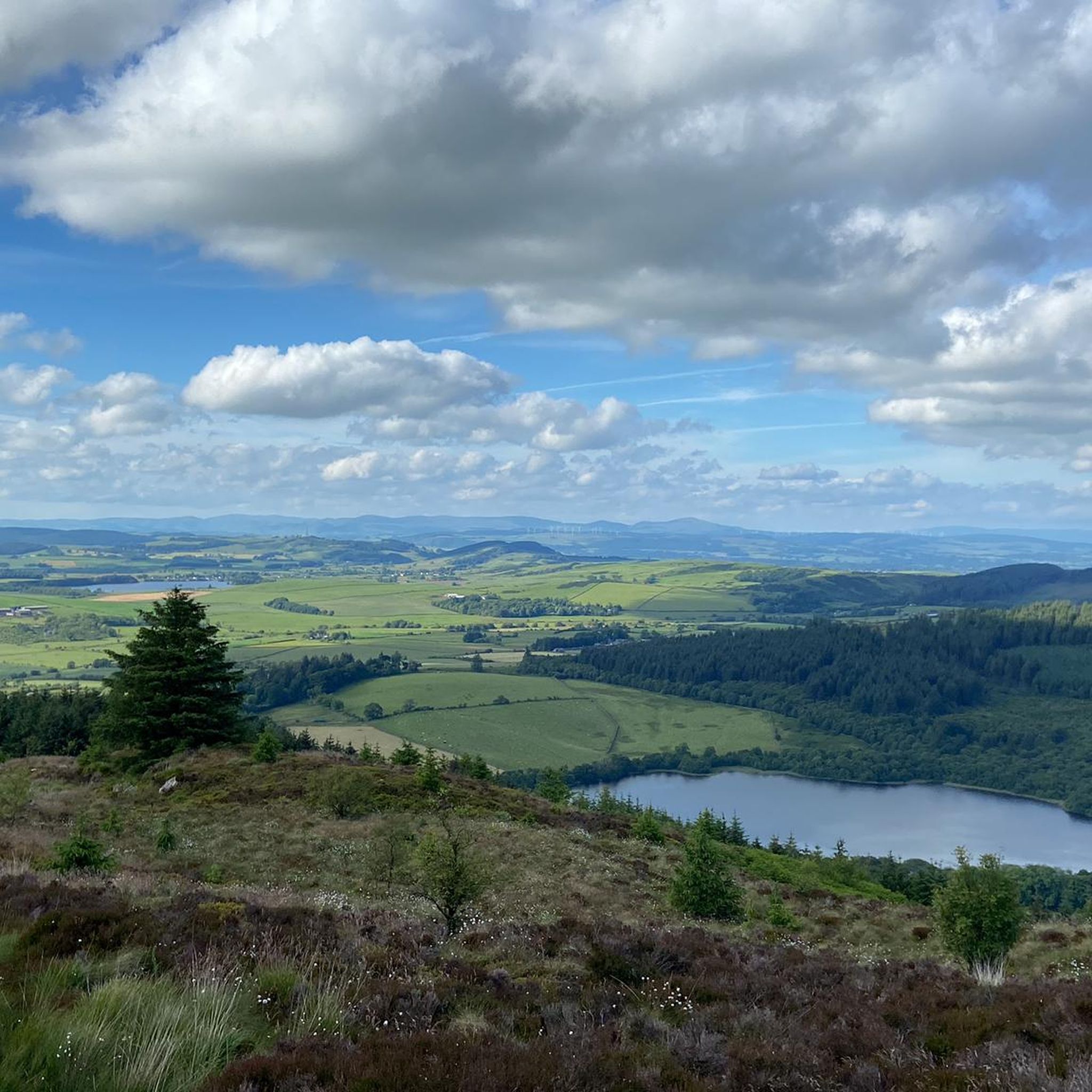
Spectacular views across Galloway from the top of this hill, but maybe best saved for summer time as all paths get very boggy
0
0
Nice gravel trails through a beautiful deciduous forest
0
0

Descender Bender on the red trail drops off Hillhead Hill and races down through a series of berms and whoops, it's a great section of flowy trail.
0
0
Frequently Asked Questions
How many running routes are available around Beeswing?
There are over 70 running routes around Beeswing, offering a wide range of options for all fitness levels. You'll find everything from easy, gentle paths to more challenging, difficult trails through the varied terrain of Dumfries and Galloway.
Are there any easy or beginner-friendly jogging routes in the Beeswing area?
Yes, Beeswing offers several easy running routes suitable for beginners or those looking for a relaxed jog. For example, the accessible Chinney Field circuit in Mabie Forest provides a wide, firm gravel path with gentle slopes and good views across the Nith Estuary. Overall, there are 5 easy routes available in the region.
What kind of terrain and elevation can I expect on the running trails near Beeswing?
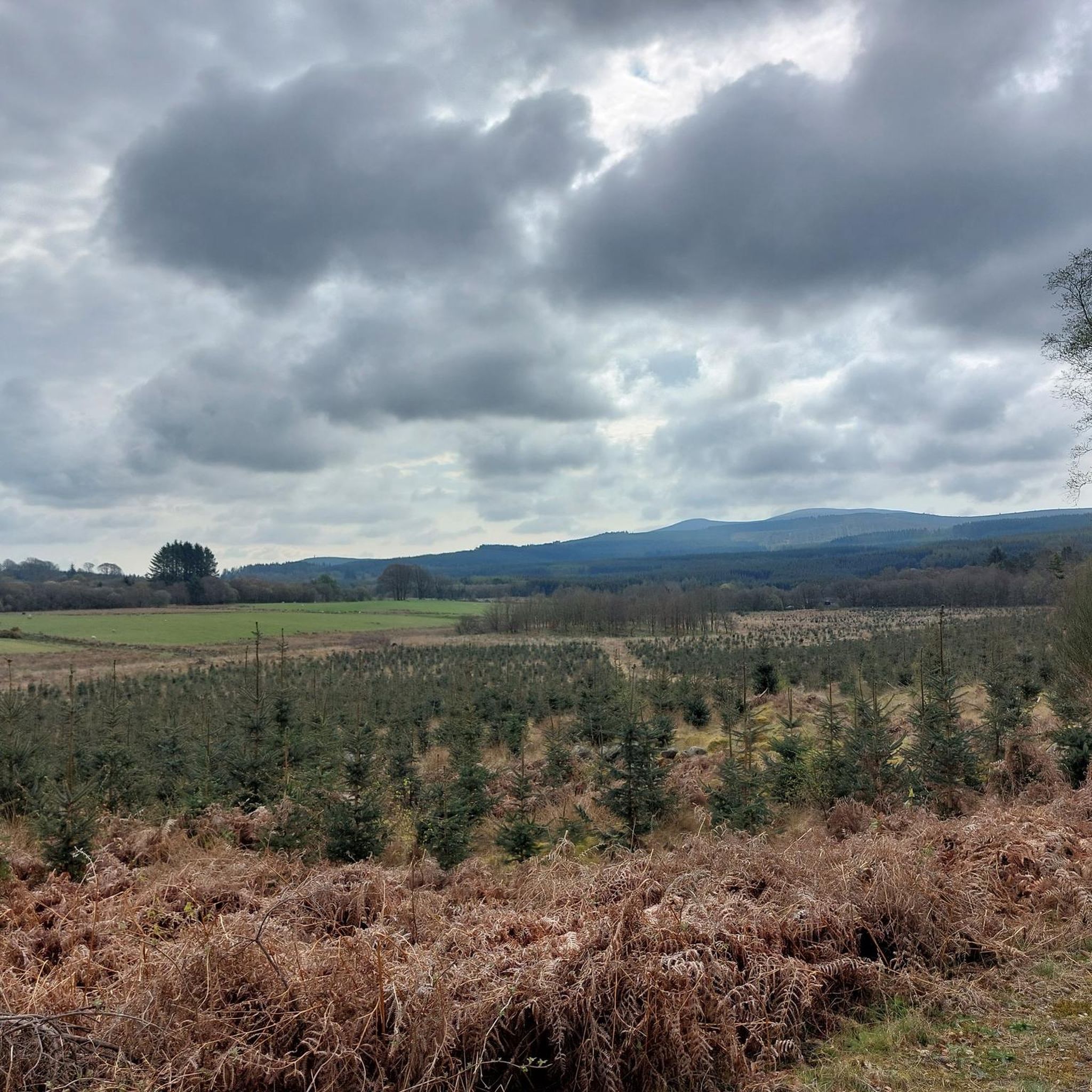
The running trails around Beeswing feature diverse terrain. You'll encounter expansive woodlands, particularly in Mabie Forest, with varied paths and elevation changes. Routes also extend around scenic Loch Arthur and through rolling countryside with lush farmland and bluebell woods. Some trails climb through woodlands to high vantage points, offering more significant elevation gains.
What do other runners enjoy most about jogging in Beeswing?
The running routes in Beeswing are highly rated by the komoot community, with an average score of 4.8 stars from over 5 reviews. Runners often praise the varied terrain, the beautiful woodland scenery, and the rewarding views across the Nith Estuary and beyond. Over 900 runners have used komoot to explore the area's trails.
Are there any circular jogging routes around Beeswing?
Yes, many of the running routes around Beeswing are circular, allowing you to start and finish in the same location. A popular option is the Mabie Forest & Marthrown Hill loop, which is 5.5 miles (8.8 km) long and takes about 1 hour 7 minutes to complete.
Are there any family-friendly running routes in Beeswing?
Mabie Forest, a key jogging destination near Beeswing, is known for its family-friendly environment. While specific family-focused running routes aren't detailed, the presence of an adventure playground and accessible paths like the Chinney Field circuit suggest suitable options for families to enjoy a run together.
Can I bring my dog on the running trails around Beeswing?
The natural landscapes around Beeswing, including Mabie Forest and the general countryside, are generally welcoming for dogs. However, it's always recommended to keep dogs under control, especially in areas with wildlife or livestock, and to check for any specific local signage regarding dog access on individual trails.
What landmarks or viewpoints can I see along the running routes near Beeswing?
Jogging around Beeswing offers several scenic landmarks and viewpoints. You can enjoy views across the Nith Estuary from trails in Mabie Forest. For more ambitious runners, the nearby Criffel Summit and Knockendoch Summit offer magnificent panoramic views across the Barbara Channel towards England, the Lake District, and even the Isle of Man on clear days. You might also encounter historical sites like the Sweetheart Abbey Ruins nearby.
Are there any cafes or facilities near the jogging routes in Beeswing?
Yes, the area around Beeswing offers some facilities. Near Loch Arthur, you'll find the Loch Arthur Farm Shop and Café, which can be a pleasant stop before or after a run. While Mabie Forest is primarily known for its trails, it's a popular outdoor hub, and you may find amenities there or in nearby villages.
Where can I park when accessing running trails around Beeswing?
Parking is generally available at key access points for popular running areas. For instance, Mabie Forest, a central location for many trails, typically has designated parking facilities. It's advisable to check specific trailheads for parking information before your visit.
What is the best time of year for running in Beeswing?
Beeswing offers beautiful running conditions throughout much of the year. Spring brings lush green farmland and bluebell woods, while summer provides longer daylight hours. Autumn showcases vibrant foliage. Winter running is possible, but be prepared for potentially muddy conditions on some trails, especially after rain.
Are there any longer, more challenging running routes available?
For those seeking a challenge, Beeswing has several difficult routes. One notable option is the Mabie Forest – Descender Bender, Mabie Forest loop from Craigbill Hill. This difficult 12.5-mile (20.1 km) path climbs through woodlands, leading to high vantage points over the Nith valley and takes approximately 2 hours 30 minutes to complete.
Most popular routes around Beeswing
Most popular attractions around Beeswing

Get inspired with the komoot mobile app


Explore more
Browse the best Running Trails & Routes in other regions.
