The best running trails around Prestonpans
4.5
(145)
15,472
runners
12
runs
Jogging routes Prestonpans offer a diverse environment for runners, characterized by coastal paths along the Firth of Forth with sea views and predominantly paved surfaces. Inland, the region features tranquil green spaces like Monks Meadow and Pennypit Park, providing well-maintained paths. Woodland areas, such as those around Prestongrange Museum, offer natural, shaded settings for running. The area also integrates historical sites, adding a cultural dimension to outdoor excursions.
Best jogging routes around Prestonpans
- The most popular jogging route is Longniddry…
Last updated: October 5, 2026
17
runners
Moderate run. Good fitness required. Mostly paved surfaces. Suitable for all skill levels.
21
runners
10.7km
01:07
40m
40m
Moderate run. Good fitness required. Mostly paved surfaces. Suitable for all skill levels.

25
runners
24.4km
02:44
80m
80m
Hard run. Very good fitness required. Mostly paved surfaces. Suitable for all skill levels.
15
runners
18.1km
01:55
70m
70m
Hard run. Very good fitness required. Mostly paved surfaces. Suitable for all skill levels.
9
runners
Moderate run. Good fitness required. Mostly paved surfaces. Suitable for all skill levels.
Get access to more routes and recommendations from other explorers.
Already have an account?
Our route recommendations are based on thousands of hikes, rides, and runs completed by other people on komoot.
Start today with a free account
Your next adventure awaits.
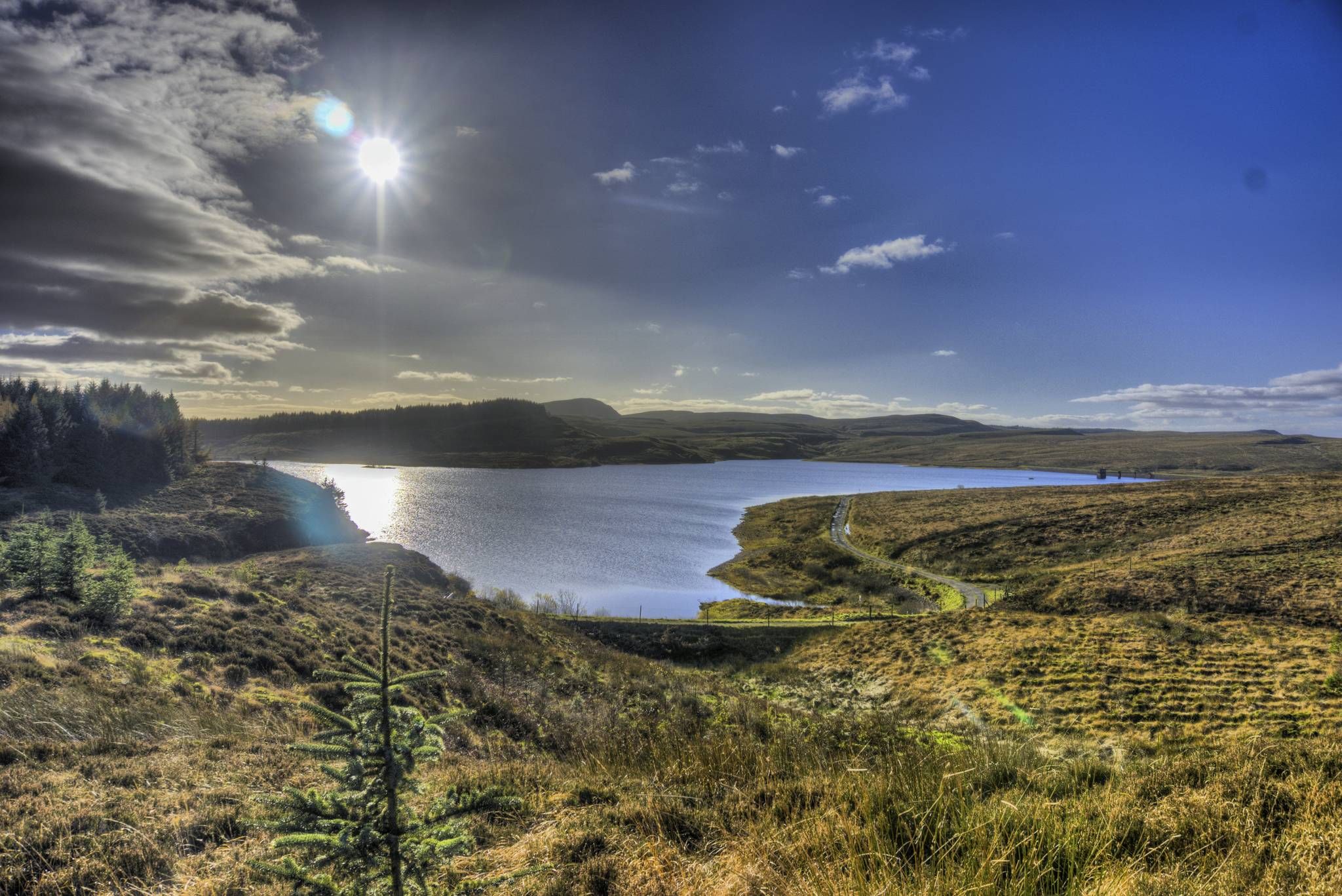
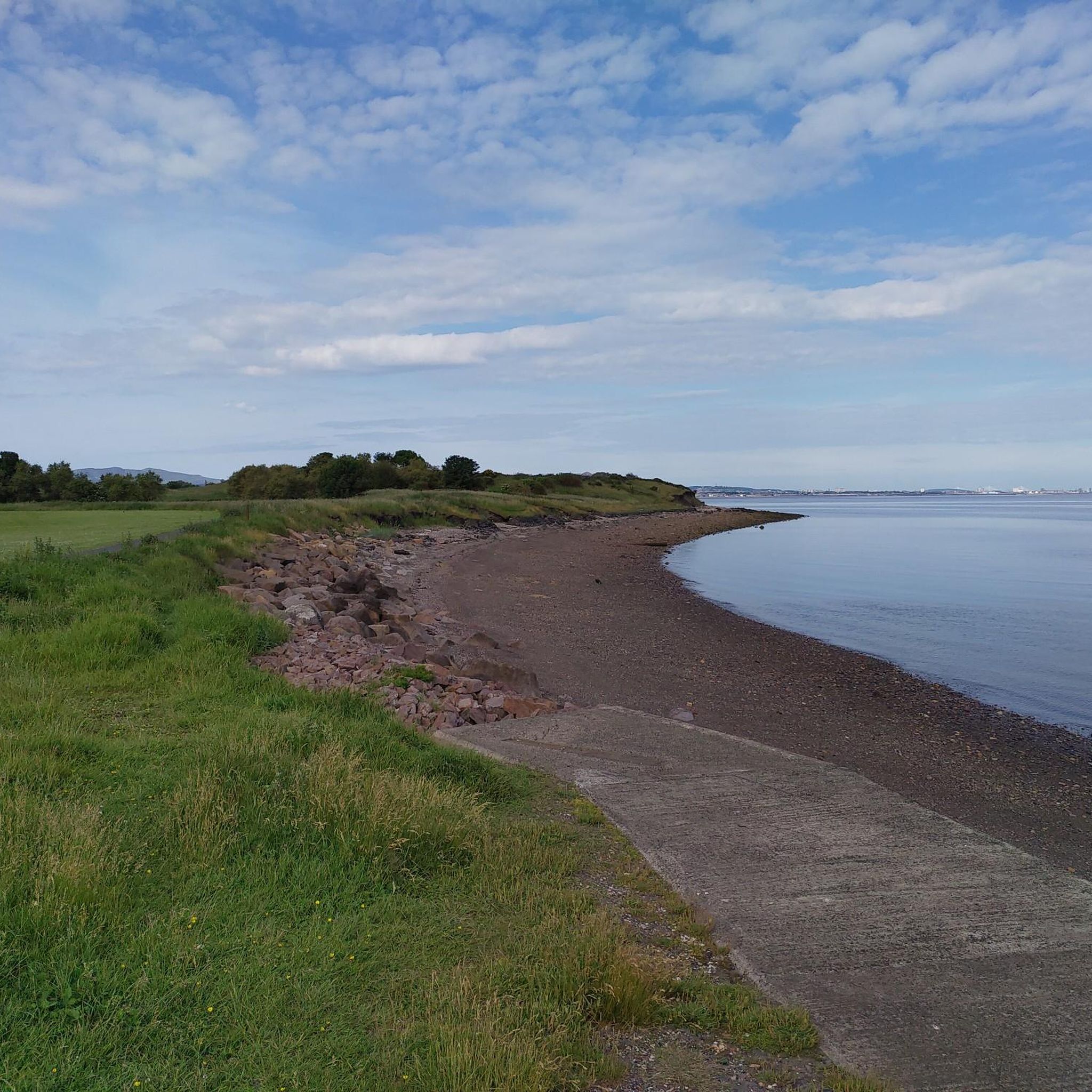
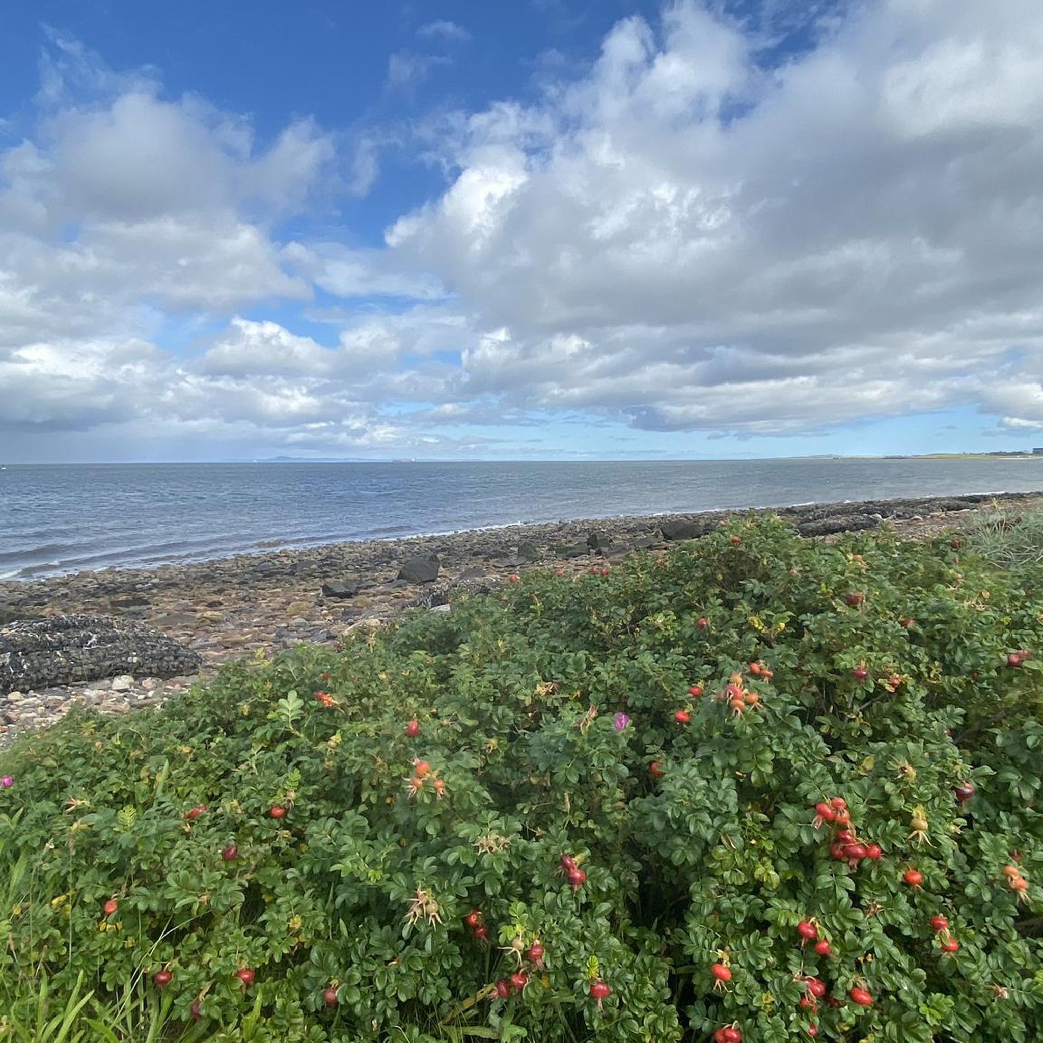
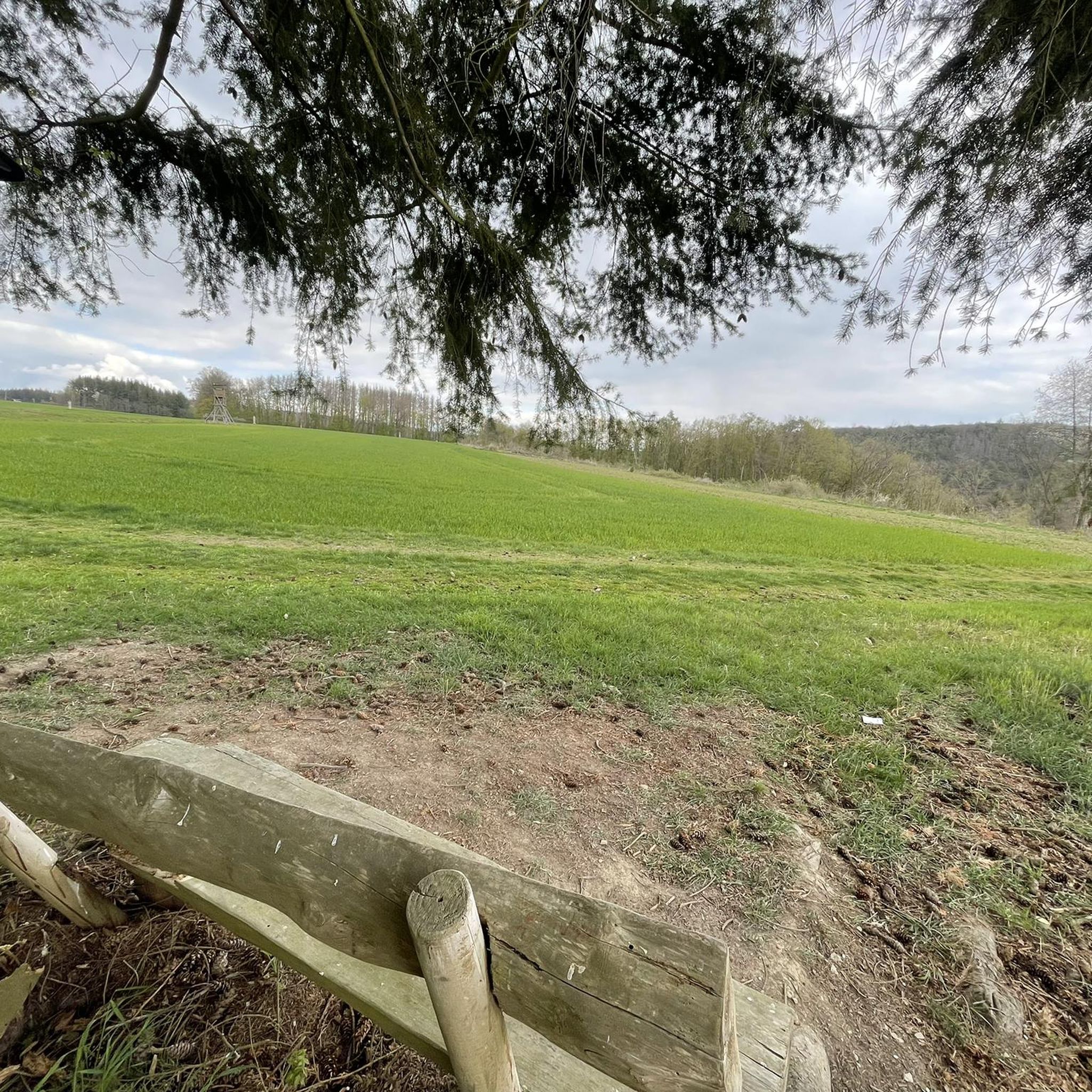
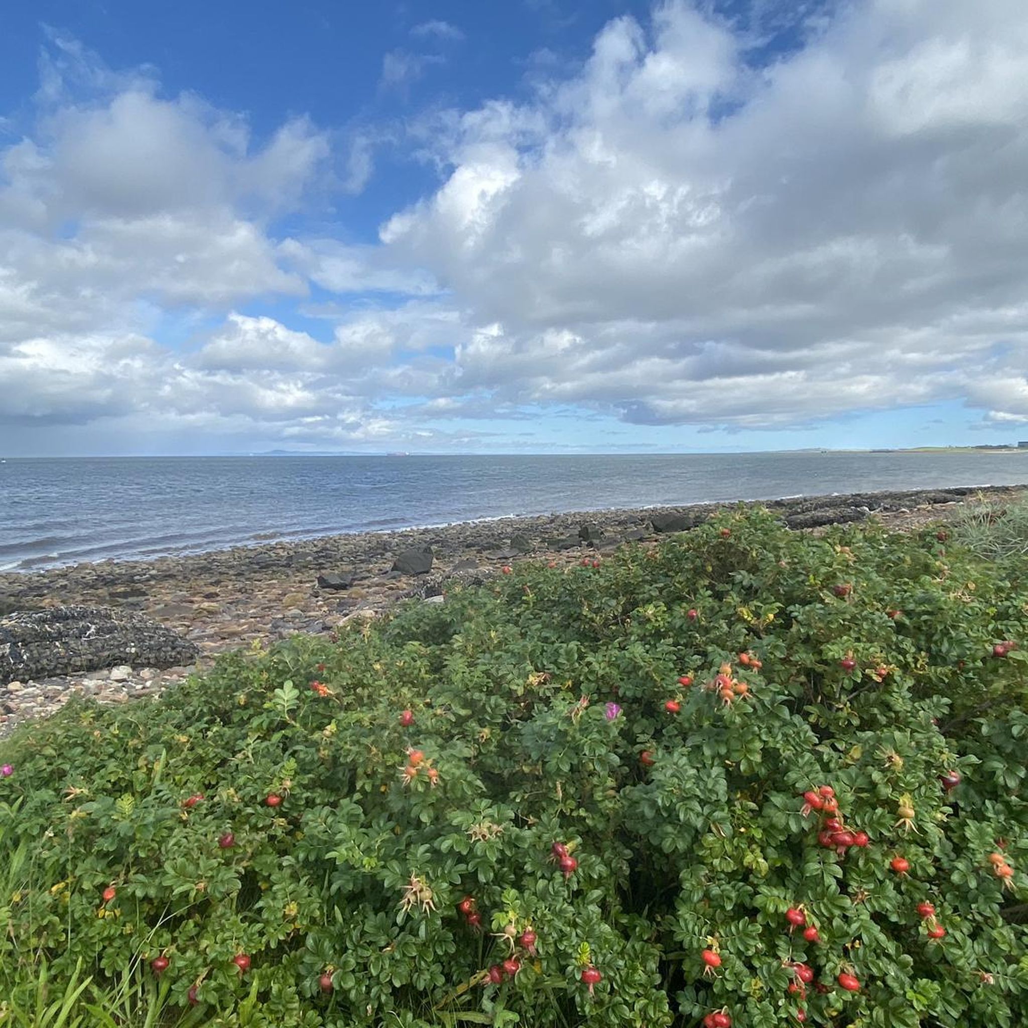
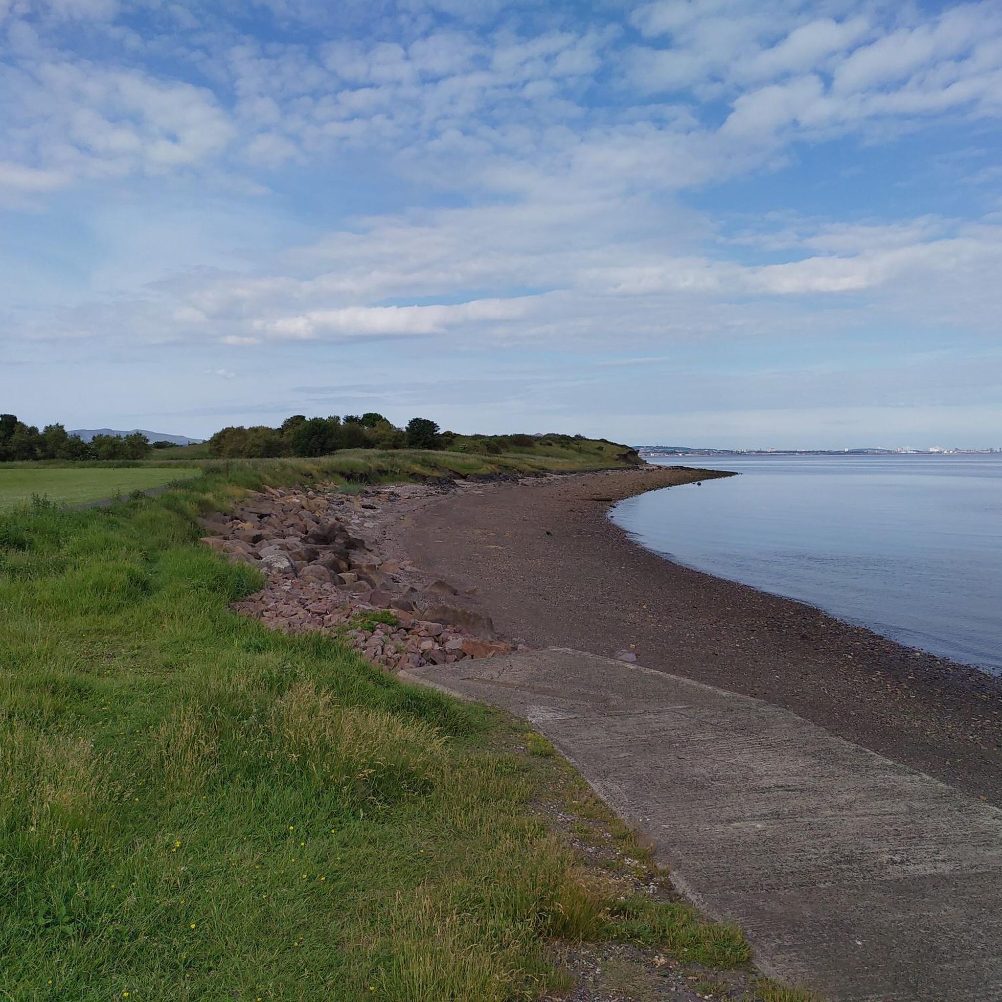
Other adventures around Prestonpans

Tips from the Community

The best fish and chips around here - and coming from a Yorkshire family I like to think I know about this. Summer evenings I’ll sometimes ride out just to enjoy a meal sitting on the tank trap blocks watching the sun linger low over Arthur’s Seat.
0
0

Coal and salt pans , heritage since medieval times.
0
0

Fantastic Fish & Chips
0
0
Quiet little harbour with free parking. Good for starting/ending point. Cute at sunset
0
0

Always along the coast with a view of the sea.
0
0
Imposing totem pole that stands in the middle of the village of Prestonpans. Why the totem was loaned/gifted is written on a large plaque next to it.
0
0

A welcome bench to rest up and soak in the views.
0
0
Frequently Asked Questions
How many running trails are available around Prestonpans?
There are over 370 running trails around Prestonpans, offering a wide variety of options for all fitness levels. Approximately 57 of these are considered easy, while the majority are moderate or difficult, providing diverse challenges for runners.
Are there any easy running routes suitable for beginners in Prestonpans?
Yes, Prestonpans offers several easy running paths perfect for beginners or those looking for a relaxed jog. Many of the town's parks, such as Monks Meadow and Pennypit Park, feature well-maintained, tranquil paths ideal for a gentle run. These green spaces provide a peaceful setting away from more challenging terrains.
What kind of scenery can I expect on jogging routes in Prestonpans?
Jogging routes in Prestonpans offer a diverse range of scenery. You can enjoy stunning coastal views along the Firth of Forth, with routes like the Port Seton Harbour – Longniddry Bents Beach loop providing picturesque sea vistas. Inland, you'll find tranquil parks with lush landscapes and well-maintained paths, as well as woodland areas around Prestongrange Museum, offering a natural, immersive experience.
Are there any circular running routes in the Prestonpans area?
Yes, many of the running routes around Prestonpans are circular, allowing you to start and finish at the same point. For example, the The Prescotton Totara Pole – The Filling Station loop from Musselburgh is a moderate 5.1-mile circular path that combines urban and green spaces. Another option is the Longniddry Bents Beach – River Esk Weir loop from Wallyford, a more challenging 16.3-mile circular route with extensive coastal views.
Can I find running routes that are suitable for families or those with children?
While specific 'family-friendly' routes aren't explicitly categorized, the easier paths within parks like Monks Meadow and Pennypit Park are generally suitable for families due to their well-maintained surfaces and tranquil environments. These green spaces provide a safe and pleasant setting for a leisurely jog or walk with children.
Are there any historical sites or landmarks I can see while running in Prestonpans?
Absolutely! Prestonpans is rich in history, and many running routes pass by significant landmarks. You can incorporate sites like the Battle of Prestonpans site and its memorial cairn into your run. The woodland paths around Prestongrange Museum, a former industrial site, offer a unique backdrop. Additionally, Preston Tower, a 15th-century tower house, and the vibrant Prestonpans Mural Trail provide interesting points of interest along your journey. You can also find nearby attractions like Craigmillar Castle or Fa'side Castle if you extend your run slightly.
What do other runners enjoy most about jogging in Prestonpans?
The running community highly rates the trails around Prestonpans, with an average score of 4.5 stars from over 125 reviews. Runners frequently praise the diverse landscapes, from the invigorating coastal paths with refreshing sea air to the tranquil parks and woodlands. The blend of natural beauty and historical intrigue also adds a unique dimension to the running experience.
Are there running routes accessible by public transport in Prestonpans?
Prestonpans is well-connected, and many running routes are accessible via public transport. The town's coastal location and proximity to the John Muir Way mean that various points along the path can be reached by local bus services. For routes starting from nearby towns like Musselburgh or Wallyford, train and bus links are also available, allowing you to easily access starting points for runs such as the View towards Fisherrow Harbour – River Esk Weir loop from Wallyford.
Are there specific running routes that offer scenic viewpoints?
Yes, the coastal paths around Prestonpans are renowned for their scenic viewpoints. Routes along the Firth of Forth, including sections of the John Muir Way, offer expansive sea views. You can also find highlights like the View of Edinburgh and the Firth of Forth, providing stunning panoramas. The elevated sections of some trails will give you excellent vantage points over the coastline and surrounding landscapes.
Can I find running routes with parking facilities in Prestonpans?
Many running routes in and around Prestonpans have convenient parking options. Coastal paths often have designated car parks near popular access points, and town parks like Monks Meadow and Pennypit Park typically offer nearby parking. When planning your run, it's advisable to check the specific route details on komoot for information on parking availability at the trailhead or nearby.
What are the typical distances and durations for running trails in Prestonpans?
Running trails in Prestonpans vary significantly in distance and duration to suit different preferences. You can find shorter, moderate runs like the The Prescotton Totara Pole – The Filling Station loop from Musselburgh, which is 5.1 miles (8.2 km) and takes about 50 minutes. For longer, more challenging runs, options like the Longniddry Bents Beach – River Esk Weir loop from Wallyford cover 16.3 miles (26.2 km) and can take nearly 3 hours to complete.
Most popular attractions around Prestonpans

Get inspired with the komoot mobile app


Explore more
Browse the best Running Trails & Routes in other regions.
