The best running trails around Roeburndale
4.6
(43)
2,346
runners
136
runs
Jogging around Roeburndale offers a variety of routes through diverse landscapes. The region features river valleys, such as those around the Crook of Lune, and includes elevated areas like Clougha Pike, providing both gentle and more challenging terrain. Runners can expect a mix of open countryside, riverside paths, and some hilly sections. The area's geography supports a range of running experiences, from flat, easy jogs to routes with significant elevation gain.
Best jogging routes around Roeburndale
- The most popular jogging…
Last updated: July 9, 2026
3.0
(1)
104
runners
13.8km
01:52
440m
440m
Hard run. Very good fitness required. Sure-footedness, sturdy shoes and alpine experience required.
27
runners
Easy run. Great for any fitness level. Mostly paved surfaces. Suitable for all skill levels.

Sign up for free
22
runners
10.9km
01:15
320m
320m
Hard run. Very good fitness required. Mostly paved surfaces. Suitable for all skill levels.
20
runners
9.97km
01:03
110m
110m
Moderate run. Good fitness required. Mostly paved surfaces. Suitable for all skill levels.
10
runners
Moderate run. Good fitness required. Mostly paved surfaces. Suitable for all skill levels.
Get access to more routes and recommendations from other explorers.
Sign up for free
Already have an account?
Our route recommendations are based on thousands of hikes, rides, and runs completed by other people on komoot.
Start today with a free account
Your next adventure awaits.
Login or Signup
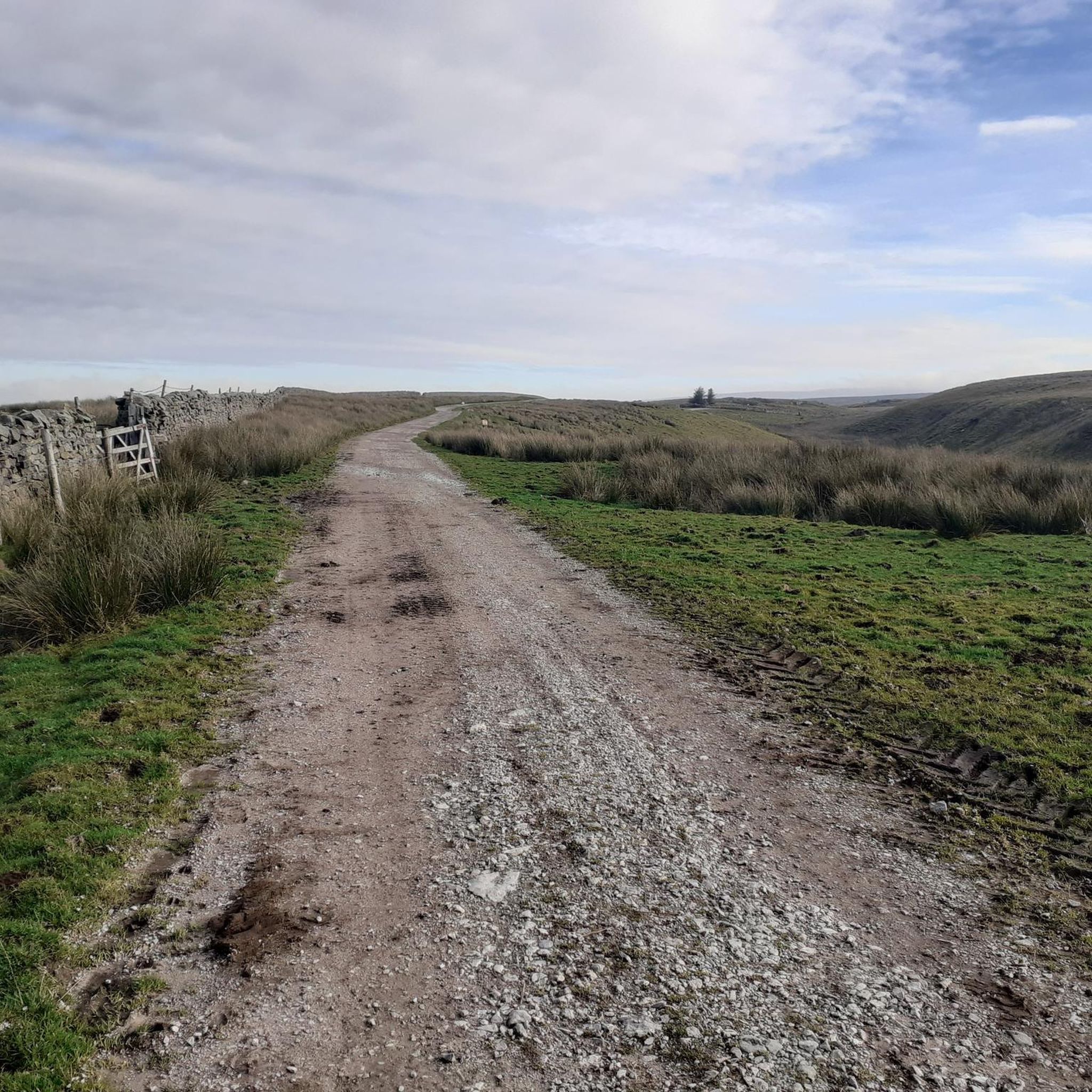
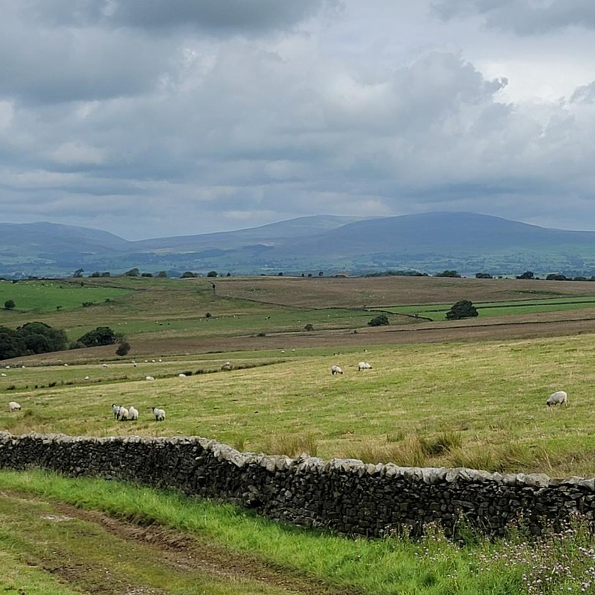
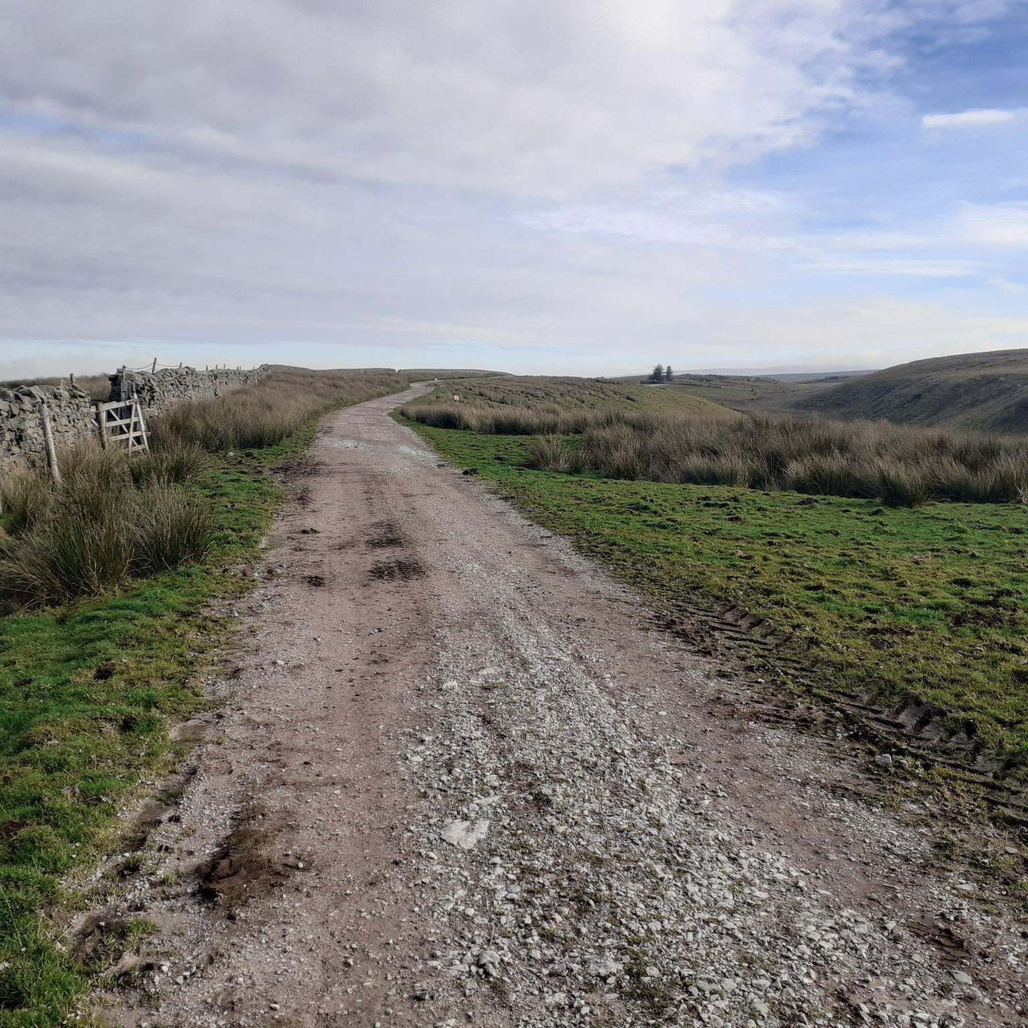
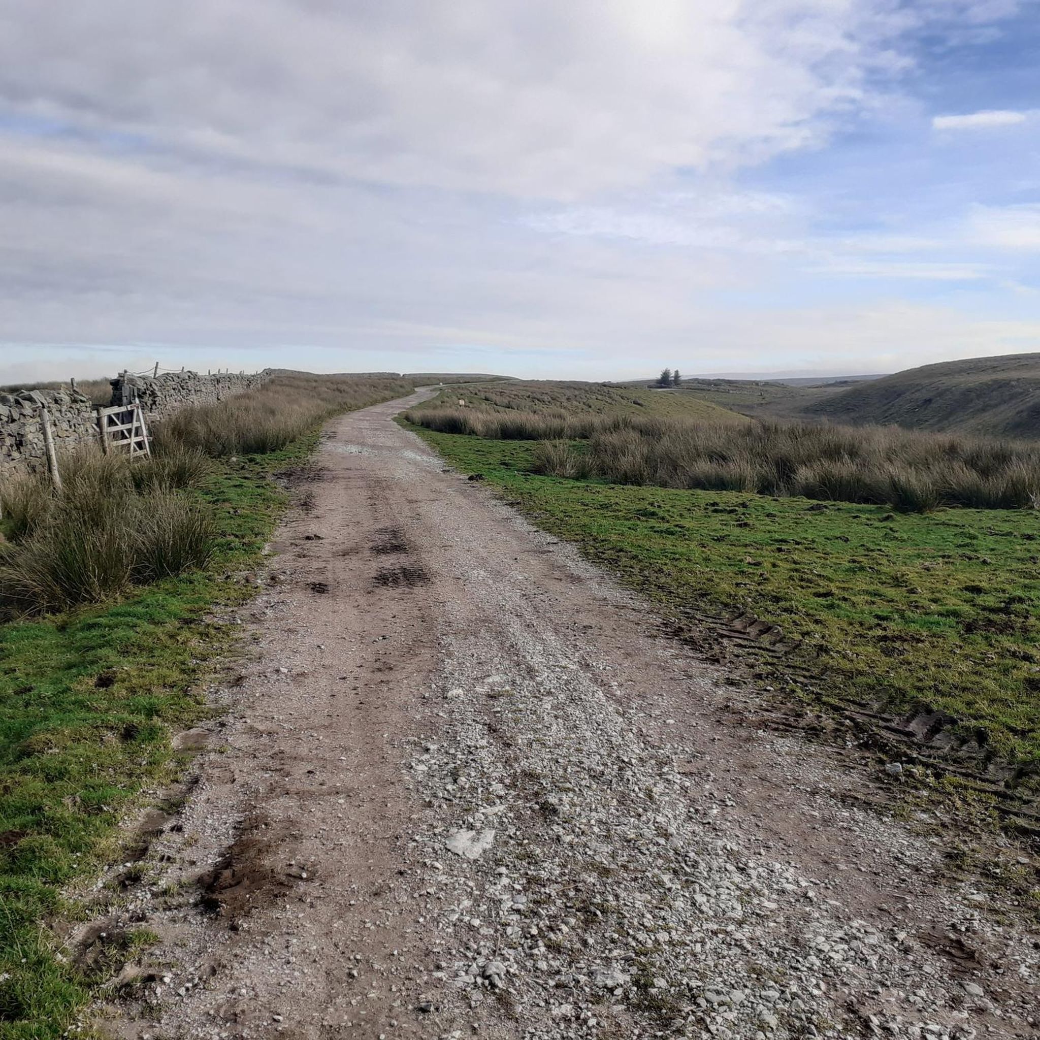

Tips from the Community


Great place to stop for lunch. Picnic benches, loos and river views.
0
0

stunning views, very quiet and peaceful walk. would recommend good shoes especially for the downhill spell.
0
0

Stunning views of the river. The bridge has lots of benches and is the perfect spot for a picnic.
0
0

Cragg Wood 198.1m P16.5 (650ft) (Hill ID: 512525) [JNSA s12494] County of Lancashire Definitive List summit. Forest of Bowland National Landscape Definitive List summit.
0
0


Aim to be in this spot 15 mins before sunset
0
0
Frequently Asked Questions
How many running routes are available in Roeburndale?
Roeburndale offers a wide selection of running routes, with over 140 trails to explore. This includes a mix of easy, moderate, and difficult options, catering to various fitness levels.
Are there easy running routes suitable for beginners in Roeburndale?
Yes, Roeburndale has several easy running routes perfect for beginners. For a gentle and scenic experience, consider the Crook of Lune loop from Caton St. Paul's Church, an easy 2.8-mile (4.5 km) path that follows the river.
Can I find long-distance running trails in Roeburndale?
Absolutely. Roeburndale features longer trails for those seeking a challenge. For example, the Clougha Pike loop from Caton-with-Littledale is a demanding 8.5-mile (13.7 km) route with significant elevation gain, offering expansive views.
Are there circular running routes available in the Roeburndale area?
Many of the running routes in Roeburndale are circular, allowing you to start and finish at the same point. A popular option is the View of Crook O’Lune – Crook O’Lune Viewpoint loop from Caton St. Paul's Church, a 5.2-mile (8.3 km) trail that takes you through riverside areas and to scenic viewpoints.
What kind of terrain can I expect on Roeburndale's running trails?
Roeburndale's terrain is diverse, featuring river valleys, open countryside, and elevated areas. You'll encounter a mix of riverside paths, grassy tracks, and some hilly sections, providing varied running experiences from flat stretches to routes with significant climbs.
Are there any viewpoints or interesting sights along the running routes?
Yes, Roeburndale offers several points of interest. Many routes provide views of the Lune Valley, and you can find highlights like Clougha Pike or the View of the Lune Valley. The View of Crook O’Lune loop specifically leads to a viewpoint overlooking the Crook O'Lune.
Is Roeburndale suitable for family runs?
Yes, Roeburndale offers routes suitable for families, especially the easier, flatter sections along the river valleys. The Crook of Lune loop is a good example of a relatively flat and accessible path that families can enjoy together.
Are dogs allowed on the running trails in Roeburndale?
Generally, dogs are welcome on public footpaths and trails in Roeburndale. However, it's always best to keep them on a lead, especially when passing through farmland with livestock or in nature conservation areas, to protect wildlife and ensure their safety. Always follow local signage.
Where can I park when visiting Roeburndale for a run?
Parking availability varies by trailhead. Many routes, especially those starting from villages like Caton-with-Littledale or Wray, will have designated parking areas or roadside parking options. It's advisable to check specific route details on komoot for parking recommendations near your chosen starting point.
What is the best time of year to go running in Roeburndale?
Roeburndale offers enjoyable running conditions throughout the year. Spring and autumn provide pleasant temperatures and beautiful scenery with changing foliage. Summer is ideal for longer runs, while winter can be challenging with colder weather and potentially muddy or icy trails, but offers crisp, clear views on fine days.
What do other runners say about the trails in Roeburndale?
The running trails in Roeburndale are highly regarded by the komoot community, with an average rating of 4.6 stars from over 30 reviews. Runners frequently praise the diverse landscapes, from tranquil riverside paths to challenging uphill sections, and the overall natural beauty of the area.
Are there any challenging running routes for experienced runners in Roeburndale?
Experienced runners will find plenty of challenging options in Roeburndale. Routes like the Start of the Climb – Wyre Way at Tarnbrook loop from Over Wyresdale, which covers over 6.7 miles (10.9 km) with significant elevation, provide a demanding workout and rewarding views.
What should I wear for running in Roeburndale, especially in winter?
For running in Roeburndale, especially in winter, layering is key. Wear moisture-wicking base layers, an insulating mid-layer, and a waterproof/windproof outer shell. Sturdy trail running shoes with good grip are essential for varied terrain, and consider a hat, gloves, and reflective gear for visibility during shorter daylight hours.
Most popular attractions around Roeburndale

Get inspired with the komoot mobile app


Explore more
Browse the best Running Trails & Routes in other regions.
