The best walks and hikes around Bowland-With-Leagram
4.4
(1315)
9,340
hikers
16
hikes
Hiking around Bowland-With-Leagram offers diverse terrain within the Forest of Bowland National Landscape, characterized by expansive moorlands, rolling hills, and ancient woodlands. The region features lowlands intersected by rivers like the Hodder and Ribble, alongside central upland areas known as the Bowland Fells. Gritstone formations contribute to the distinctive topography, providing varied landscapes for outdoor exploration.
Best hiking trails around Bowland-With-Leagram
- The most popular hiking route is The Inn at Whitewell – Victorian Aqueduct Footbridge loop from Bowland Forest Low…
Last updated: July 8, 2026
4.4
(15)
82
hikers
12.2km
03:27
260m
250m
Moderate hike. Good fitness required. Easily-accessible paths. Suitable for all skill levels.
4.8
(11)
64
hikers
Moderate hike. Good fitness required. Easily-accessible paths. Suitable for all skill levels.

Sign up for free
4.7
(3)
51
hikers
3.40km
00:56
60m
50m
Easy hike. Great for any fitness level. Easily-accessible paths. Suitable for all skill levels.
4.7
(3)
46
hikers
Moderate hike. Good fitness required. Easily-accessible paths. Suitable for all skill levels.
5.0
(1)
42
hikers
3.36km
00:55
50m
60m
Easy hike. Great for any fitness level. Easily-accessible paths. Suitable for all skill levels.
Get access to more routes and recommendations from other explorers.
Sign up for free
Already have an account?
Our route recommendations are based on thousands of hikes, rides, and runs completed by other people on komoot.
Start today with a free account
Your next adventure awaits.
Login or Signup
Tips from the Community

This is marked as an intermediate walk which, in the main is accurate. The walk starts with a steep incline, well covered in the walk description. What is less documented is the subsequent decent which can be challenging for the novice/ intermediate walker. The path down is narrow and the potential fall severe. Please be aware. Other than that, the walk offers wonderful views after the initial climb and relatively sedate walk after decent.
0
0


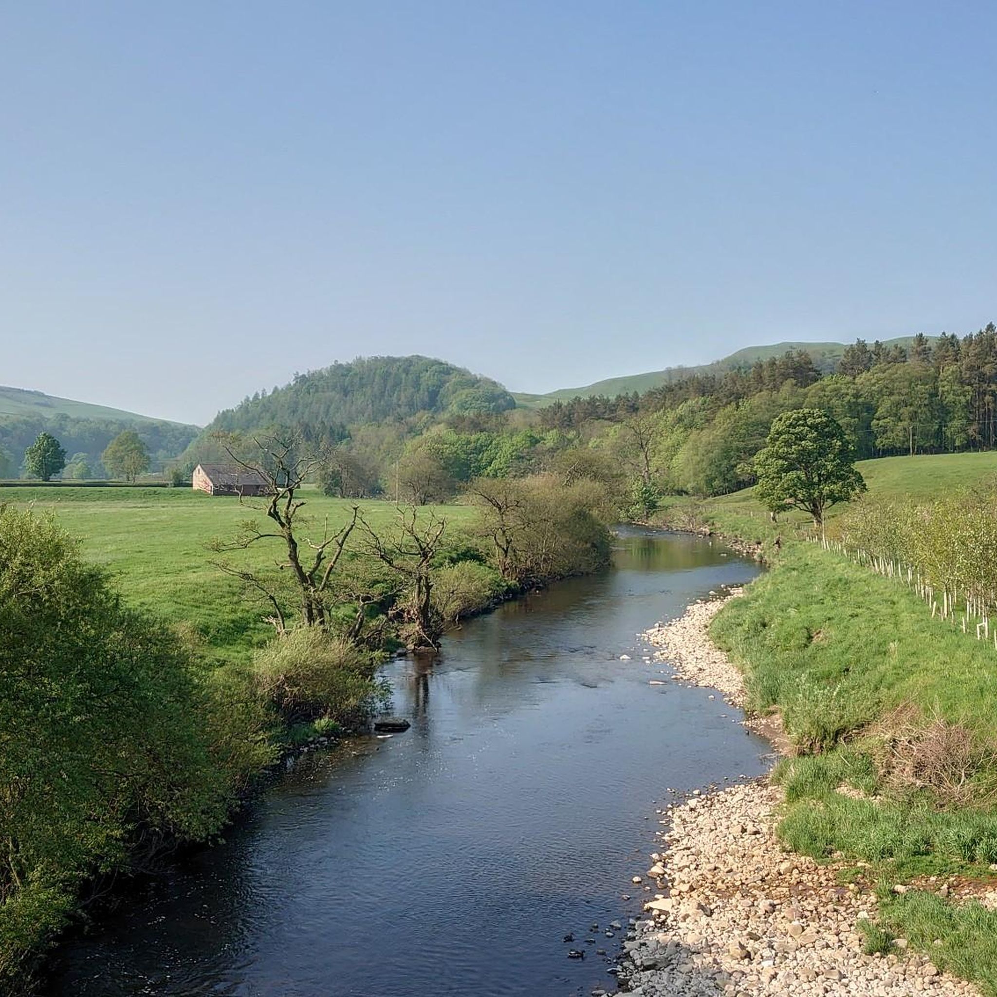
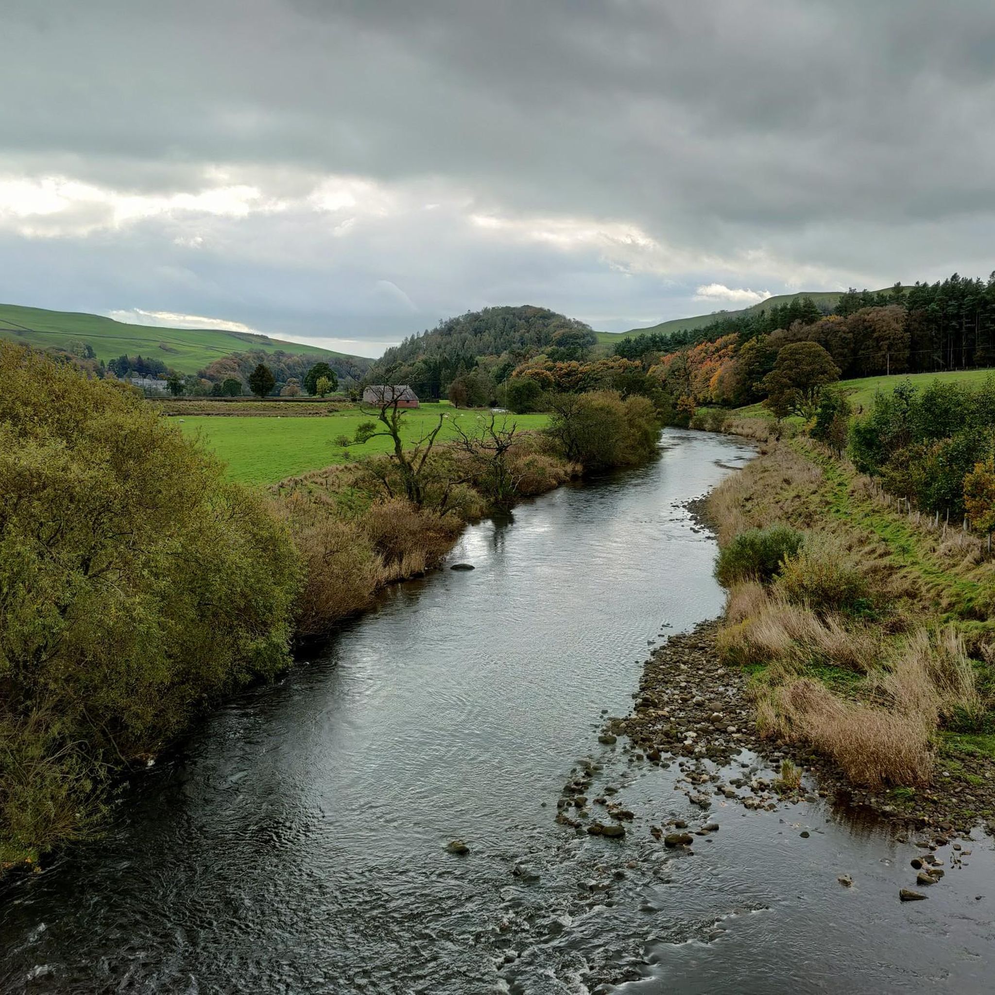
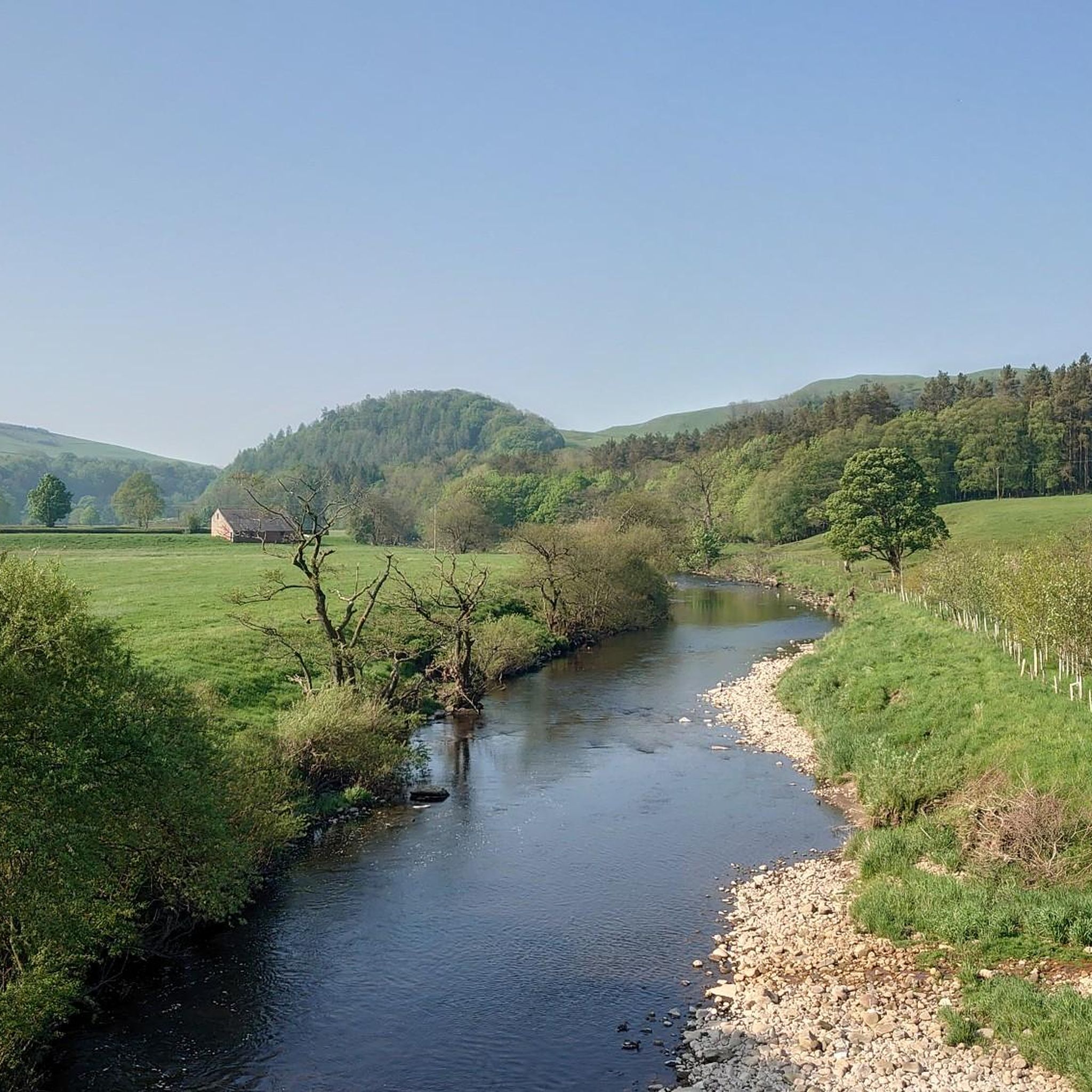
The Knot or Sugar Loaf is a small conical hill or knoll which just juts out from the surrounding fields.
1
0
I believe the bridge was originally an aqueduct.
2
0
This bridge is now used as a footbridge but it was originally a Victorian aqueduct.
2
0
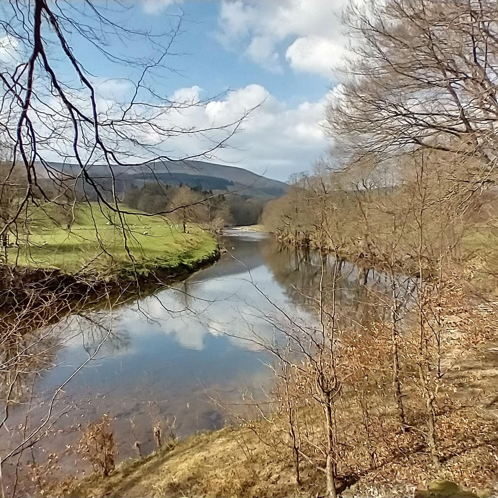
The actual centre of the British Isles is roughly 4 miles from the village but it is a pretty village to visit on the banks of the River Hodder.
0
1
I believe this strange bridge which seems to serve no purpose was actually an aqueduct taking water from the Stocks Reservoir.
0
0
Frequently Asked Questions
How many hiking trails are available in Bowland-With-Leagram?
There are over 15 hiking routes documented in Bowland-With-Leagram, offering a range of experiences from easy riverside strolls to more challenging ascents on the fells. In total, komoot features 16 tours in the area.
What kind of terrain will I encounter on hikes in Bowland-With-Leagram?
Bowland-With-Leagram offers a diverse landscape. You can expect to find expansive heather moorlands, rolling hills, ancient woodlands, and picturesque river valleys. The central upland areas, known as the Bowland Fells, feature gritstone formations, while lowlands are intersected by rivers like the Hodder and Ribble, providing varied paths for exploration.
Are there any easy, family-friendly walks in Bowland-With-Leagram?
Yes, Bowland-With-Leagram has several easy routes suitable for families. An excellent option is the Hodder Bridge – The Inn at Whitewell loop from Bowland Forest Low, an easy 2.1-mile (3.4 km) path that follows tranquil riverside paths along the River Hodder. There are 7 easy routes in total.
Can I find circular walks in Bowland-With-Leagram?
Many of the routes in Bowland-With-Leagram are circular, allowing you to start and end at the same point. For example, the popular The Inn at Whitewell – Victorian Aqueduct Footbridge loop from Bowland Forest Low is a moderate 7.3-mile (11.7 km) circular trail that includes riverside paths and a historic aqueduct.
What are some notable landmarks or viewpoints to see while hiking?
The region is rich in natural beauty and historical sites. You can visit the Trig point at Longridge Fell summit for panoramic views, or explore the dramatic Trough of Bowland Pass. Other points of interest include Stonyhurst College and the unique Dunsop Bridge – Centre of the United Kingdom.
Are there any routes that feature river crossings or stepping stones?
Yes, the River Hodder is a prominent feature in many walks. The The Inn at Whitewell – River Hodder Stepping Stones loop from Bowland Forest Low is a 4.4-mile (7.1 km) trail that specifically leads through the River Hodder valley and includes stepping stones, offering a charming riverside experience.
What do other hikers say about the trails in Bowland-With-Leagram?
The trails in Bowland-With-Leagram are highly regarded by the komoot community, with an average rating of 4.5 stars from over 250 reviews. Hikers often praise the tranquil riverside paths, the sense of remoteness, and the diverse natural environment, from moorlands to ancient woodlands.
Are there any hikes that offer views of the wider Ribble Valley?
Yes, several elevated points in Bowland-With-Leagram provide stunning vistas. Hikes around Longridge Fell, for instance, offer 360-degree views across the Ribble Valley and the broader Forest of Bowland National Landscape. The Trig point at Longridge Fell summit is a prime spot for such views.
Can I find routes that pass through charming villages or offer pub stops?
The landscape is dotted with picturesque villages like Chipping, Grindleton, and Waddington, many of which have historical significance and offer welcoming pubs and cafés. While specific routes are not listed here, many local walks can be planned to incorporate these villages for a refreshing stop.
What is the best time of year to go hiking in Bowland-With-Leagram?
The Forest of Bowland offers beauty year-round. Spring brings wildflowers and new growth, while summer provides longer daylight hours for exploration. Autumn showcases vibrant foliage, and winter, though colder, offers crisp air and a unique, tranquil atmosphere. The diverse terrain means there are suitable walks for all seasons, though moorland paths can be wet after rain.
Are there any routes that explore the Bowland Fells?
The central upland areas, known as the Bowland Fells, include prominent features such as Ward's Stone, Clougha Pike, Fair Snape Fell, and Wolfhole Crag. These areas offer more challenging routes and spectacular views for experienced hikers seeking higher elevations and expansive moorland landscapes.
Most popular attractions around Bowland-With-Leagram

Get inspired with the komoot mobile app


Explore more
Browse the best Hikes in other regions.
