The 11 Most Amazing Peaks around Middop
Best mountain peaks around Middop are found in a landscape characterized by diverse terrains, from limestone hills to remote moorlands. Middop, a locality in the Ribble Valley of Lancashire, England, is known for its prominent hills and fells that offer significant hiking and scenic opportunities. The area provides a variety of outdoor experiences, including challenging hikes and accessible walks with extensive views. These peaks are part of the Forest of Bowland Area of Outstanding Natural Beauty.
Best mountain peaks around…
Last updated: October 7, 2026
Pendle Hill summit trig point
Highlight • Summit
Tip by

Weets Hill Summit & Trig Point
Highlight • Viewpoint
Tip by

Sign up now to discover places like this
Get recommendations on the best single tracks, peaks, & plenty of other exciting outdoor places.
Nick o' Pendle Summit
Highlight • Climb
Tip by

Stang Top Moor Trig Point
Highlight • Viewpoint
Tip by

View of Pendle Hill
Highlight • Summit
Tip by
Sign up for free to discover even more peaks around Middop.
Already have an account?
Start today with a free account
Your next adventure awaits.
Tips from the Community

Also on a very clear day you can see Blackpool Tower to the west, approx 40 miles away.
0
0

Don't forget that it's always windy on top.
1
0

I grew up running around here, the front side with the steps is great for training.
0
0

Weets Hill rises to 1,302 feet (397 m) above Barnoldswick and features on the Pendle Way, a 45-mile (72 km) loop of the region. It's the second highest point on the walk, behind the eponymous Pendle Hill. Views from the summit are extensive on a clear day, with the Aire Valley, the Ribble Valley and the distant Yorkshire Dales all visible. The famous Yorkshire Three Peaks are arrayed with Inglebrough on the left, Whernside in the middle and Pen-y-ghent on the right. There's also a bench near the trig point, so you can sit back, relax and enjoy the panorama.
0
0

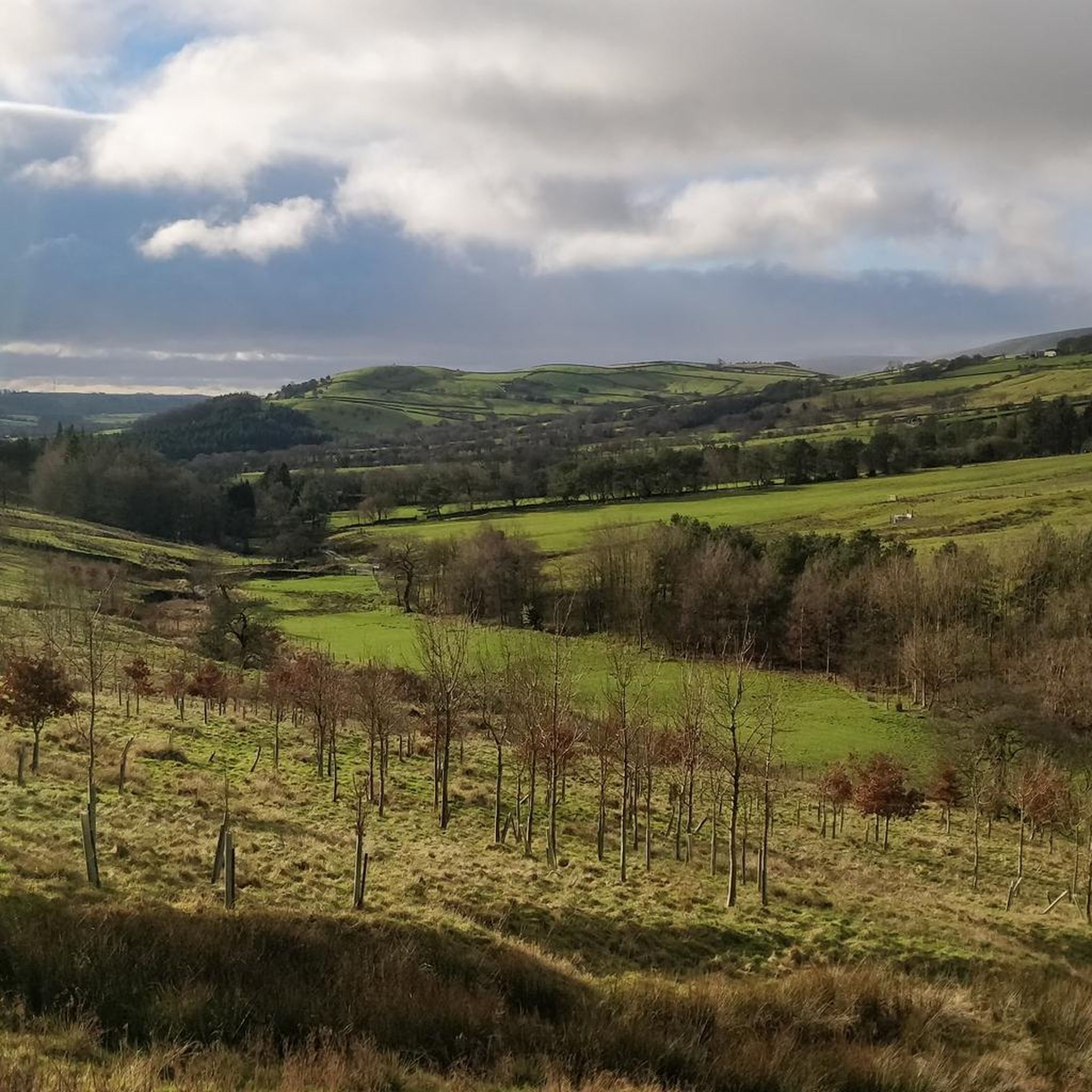
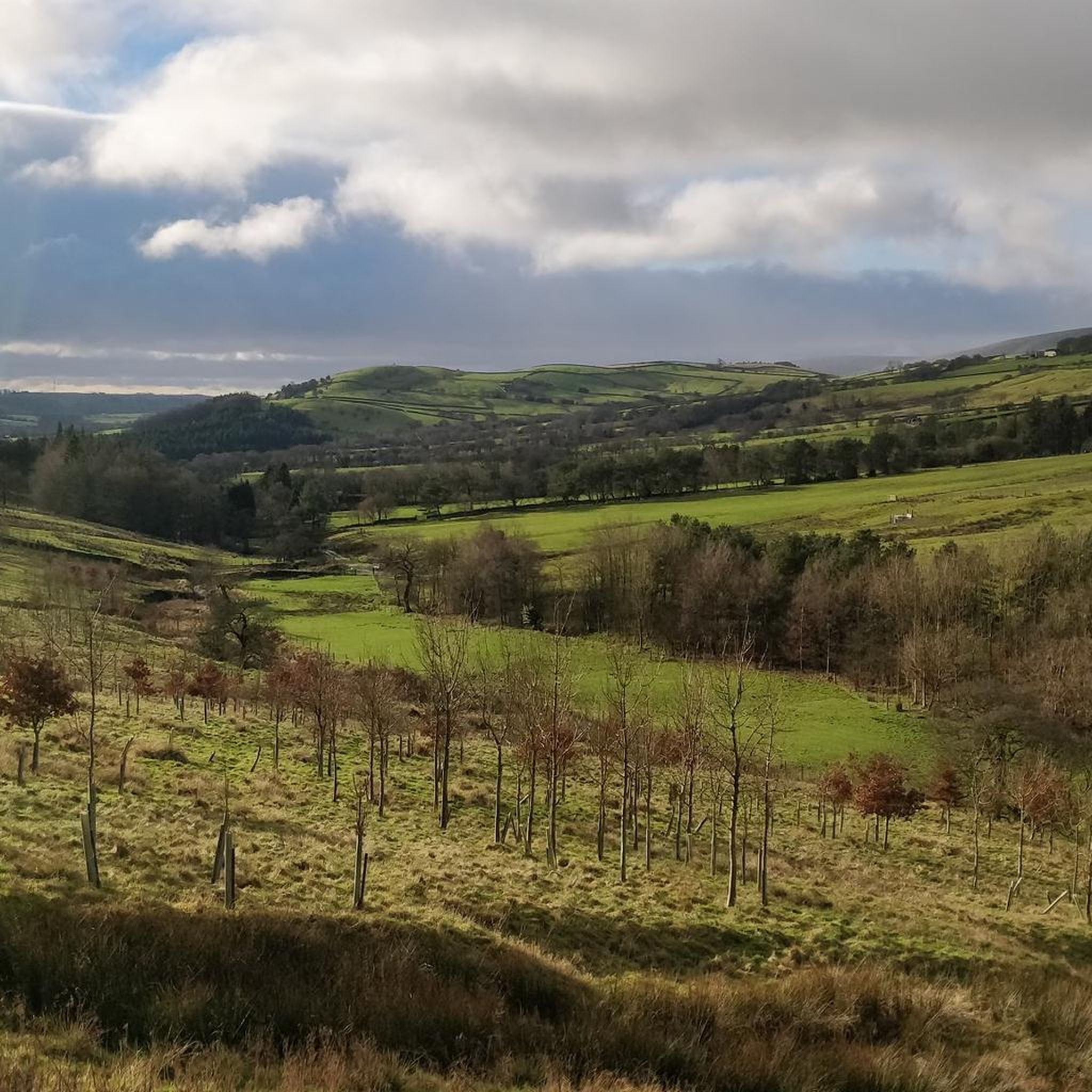
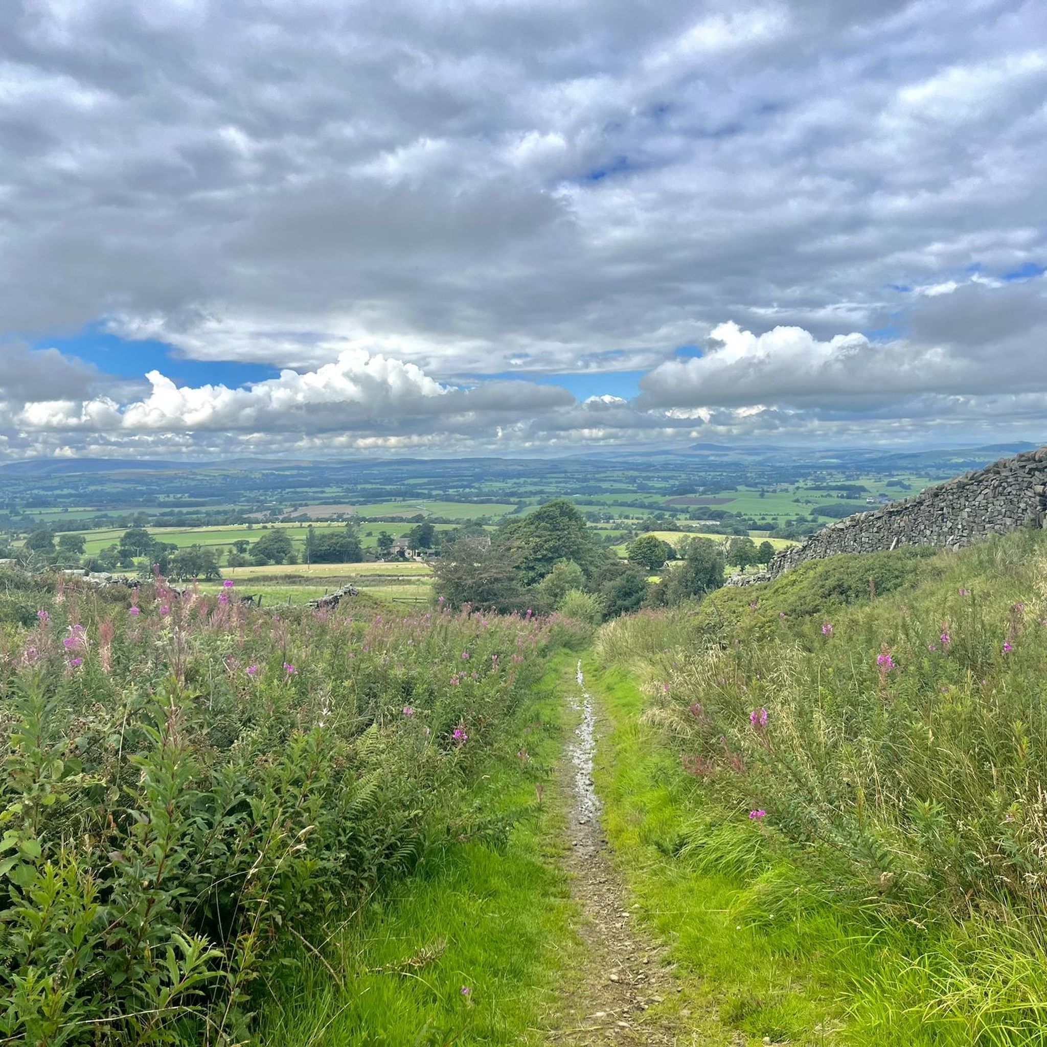
Stang Top Moor (327m) gives amazing views of Pendle Hill and the surrounding area. Please be mindful when walking through the farm to close all gates.
1
0

Pendle Hill looms over East Lancashire between the towns of Clitheroe and Nelson. With its distinctive humpback shape, visible for miles around from all directions, it is a local landmark, rising from an area of green beauty. The district is dotted with tiny hamlets and farms, divided by ancient drystone walls and full of folklore and stories – not least the famous tale of the Pendle Witches. Geographically, Pendle Hill is part of the Pennine Chain of hills that run north-south through the northern half of England. It is included in the Forest of Bowland Area of Outstanding Natural Beauty, though Pendle is a discrete hill, separated from the main upland area of Bowland by the Ribble Valley.
0
0
Pendle Hill, LancashirePendle Hill looms over East Lancashire between the towns of Clitheroe and Nelson. With its distinctive humpback shape, visible for miles around from all directions, it is a local landmark, rising from an area of green beauty. The district is dotted with tiny hamlets and farms, divided by ancient drystone walls and full of folklore and stories – not least the famous tale of the Pendle Witches. Geographically, Pendle Hill is part of the Pennine Chain of hills that run north-south through the northern half of England. It is included in the Forest of Bowland Area of Outstanding Natural Beauty, though Pendle is a discrete hill, separated from the main upland area of Bowland by the Ribble Valley.
2
0

An outlier from the hills of the main Forest of Bowland area makes Pendle Hill a superb stand along peak. At 532m it's high enough to feel big and offer excellent views north into the hills and in other directions over the more populated areas of Lancashire. Pendle is intertwined with myth and legend from jumping giants to the famous witch trials in the early 17th century. Much loved locally it's a great run from any direction with most routes providing a tough but manageable climb and a brilliant descent.
0
0
Frequently Asked Questions
What are the most prominent mountain peaks around Middop?
The Middop area, situated in the Ribble Valley of Lancashire, is known for several prominent hills and fells. The most iconic is Pendle Hill, standing at 557 meters (1,827 feet), famous for its history and panoramic views. Other notable peaks include Weets Hill, Longridge Fell, and Parlick Fell, all offering diverse hiking experiences and scenic vistas.
What makes Pendle Hill a significant peak to visit?
Pendle Hill is steeped in history and myth, most famously associated with the Pendle Witches of 1612. It's also recognized as the place where George Fox was inspired to found the Quaker movement. From the summit, hikers are rewarded with panoramic views over the Ribble Valley, the Forest of Bowland, and on a clear day, even as far as Snowdonia. You can explore routes like the Pendle Hill Path, which offers both steeper and more gradual ascents.
Are there family-friendly mountain walks near Middop?
Yes, several peaks around Middop offer routes suitable for families. Parlick Fell, with its conical shape and summit at 432 meters (1,417 feet), is considered a good high point and suitable for children seeking a mountain experience. While Pendle Hill can be strenuous, some circular routes incorporate historical markers and reservoirs, and the Pendle Hill Path offers a less steep switchback option.
What kind of views can I expect from Weets Hill?
From the Weets Hill Summit & Trig Point, which rises to 1,302 feet (397 meters), you can enjoy extensive views on a clear day. These include the Aire Valley, the Ribble Valley, and the distant Yorkshire Dales. The famous Yorkshire Three Peaks (Inglebrough, Whernside, and Pen-y-ghent) are also visible, and on a very clear day, you might even spot Blackpool Tower.
How challenging are the ascents of the peaks around Middop?
The difficulty varies among the peaks. Pendle Hill offers a challenging ascent, particularly via the popular route from Barley, which involves a steep climb up stone stairs to the Pendle Hill summit trig point. Weets Hill and Longridge Fell offer intermediate climbs with well-established footpaths. Parlick Fell is generally considered more accessible and suitable for a less strenuous mountain experience.
Can I find circular hiking routes in the Middop area?
Yes, the area around Middop offers several circular hiking routes. For example, there are circular routes around Pendle Hill that incorporate historical markers and reservoirs. The Hiking around Middop guide features routes like the "Pendle Hill summit trig point – Pendle Hill Path loop from Barley-with-Wheatley Booth" and the "Occupation Road – Weets Hill Summit & Trig Point loop from Barnoldswick".
What other outdoor activities are available near Middop's mountain peaks?
Beyond hiking, the region around Middop offers diverse outdoor activities. You can explore numerous road cycling routes, such as those found in the Road Cycling Routes around Middop guide. Mountain biking enthusiasts can find trails like those in the MTB Trails around Middop guide, which includes routes through the Forest of Bowland.
Is Pendle Hill suitable for dog walking?
Yes, Pendle Hill is a popular spot for dog walking. However, it's important to keep dogs on leads, especially in areas with livestock, as mentioned in tips for highlights like View of Pendle Hill. Always be mindful of farm animals and follow local guidelines.
What natural features can I explore around Pendle Hill?
Pendle Hill is part of the Forest of Bowland Area of Outstanding Natural Beauty. The hill itself is a prominent, isolated feature with diverse terrain, including well-established footpaths and trails. You'll find reservoirs and old stone paths, and from viewpoints like Stang Top Moor Trig Point, you get amazing views of Pendle Hill and the surrounding countryside.
Where can I find refreshments or accommodation near the mountain peaks?
The villages and towns surrounding the peaks offer various options. For example, Barley, a common starting point for Pendle Hill walks, has cafes. Gisburn and Clitheroe are larger towns in the Ribble Valley with pubs, cafes, and accommodation options. Many routes, such as those in the nearby cycling guides, also pass by tearooms and pubs.
What is the best time to hike the mountains around Middop?
The best time to hike generally depends on weather conditions. Spring and summer offer longer daylight hours and milder temperatures, making for pleasant walks. Autumn provides beautiful scenery with changing foliage. However, the weather in Lancashire can be unpredictable, so it's always advisable to check forecasts before heading out, especially for higher peaks like Pendle Hill.
What should I wear when hiking in the Middop mountains?
Given the varied terrain and potentially changeable weather, it's recommended to wear appropriate hiking gear. This includes sturdy walking boots, layered clothing to adapt to temperature changes, and waterproof outerwear. Even on clear days, conditions can shift quickly, especially on exposed fells like Pendle Hill.
Most popular attractions around Middop

Get inspired with the komoot mobile app


Explore more
See even more amazing summits around Middop with these guides:
