The best walks and hikes around Whittingham
4.5
(912)
5,804
hikers
13
hikes
Hiking around Whittingham offers diverse landscapes, characterized by agricultural terrain, serene reservoirs, and rolling fells. The region provides a variety of environments for walkers, with trails often following riversides and circling reservoirs. Its proximity to the Forest of Bowland Area of Outstanding Natural Beauty further enhances the appeal, suggesting access to broader trail networks. The area features scenic routes that follow the River Ribble and include loops around reservoirs such as Horns Reservoir and Alston Reservoir No. 1.
Best hiking trails around Whittingham
- The most popular hiking route is Coe Crag and Long Crag Circular Trail, an 8.6 miles (13.8 km) trail that takes 4 hours 3 minutes to complete. This moderate route features an elevation gain of 378 meters.
- Another top favourite among local hikers is View of Thrunton Wood – View from Top Crag loop from Thrunton Trout Fishery, a moderate 7.6 miles (12.2 km) path. This trail offers views of Thrunton Wood and includes 336 meters of ascent.
- Local hikers also love the View of Thrunton Wood – Thrunton Woods Viewpoint loop from Thrunton Trout Fishery, a 4.8 miles (7.7 km) trail leading through Thrunton Wood, often completed in about 2 hours 10 minutes.
- Hiking around Whittingham is defined by riverside paths, reservoir circuits, and rolling fells. The network offers options for different ability levels, from easy walks to more challenging countryside circuits.
- The routes in Whittingham are highly rated by the komoot community with an average score of 4.6 stars from over 700 reviews. More than 5000 hikers have used komoot to explore Whittingham's varied terrain.
Last updated: October 10, 2026
4.6
(18)
86
hikers
13.8km
04:04
380m
380m
The Coe Crag and Long Crag Circular Trail is a moderate 8.6-mile hike through Thrunton Wood with dramatic crags and Cheviot Hills views.
4.0
(3)
35
hikers
Moderate hike. Good fitness required. Easily-accessible paths. Suitable for all skill levels.

4.5
(11)
62
hikers
10.9km
03:04
220m
220m
Moderate hike. Good fitness required. Easily-accessible paths. Suitable for all skill levels.
4.5
(2)
16
hikers
Easy hike. Great for any fitness level. Easily-accessible paths. Suitable for all skill levels.
4.0
(3)
10
hikers
11.8km
03:25
300m
300m
Moderate hike. Good fitness required. Easily-accessible paths. Suitable for all skill levels.
Get access to more routes and recommendations from other explorers.
Already have an account?
Our route recommendations are based on thousands of hikes, rides, and runs completed by other people on komoot.
Start today with a free account
Your next adventure awaits.
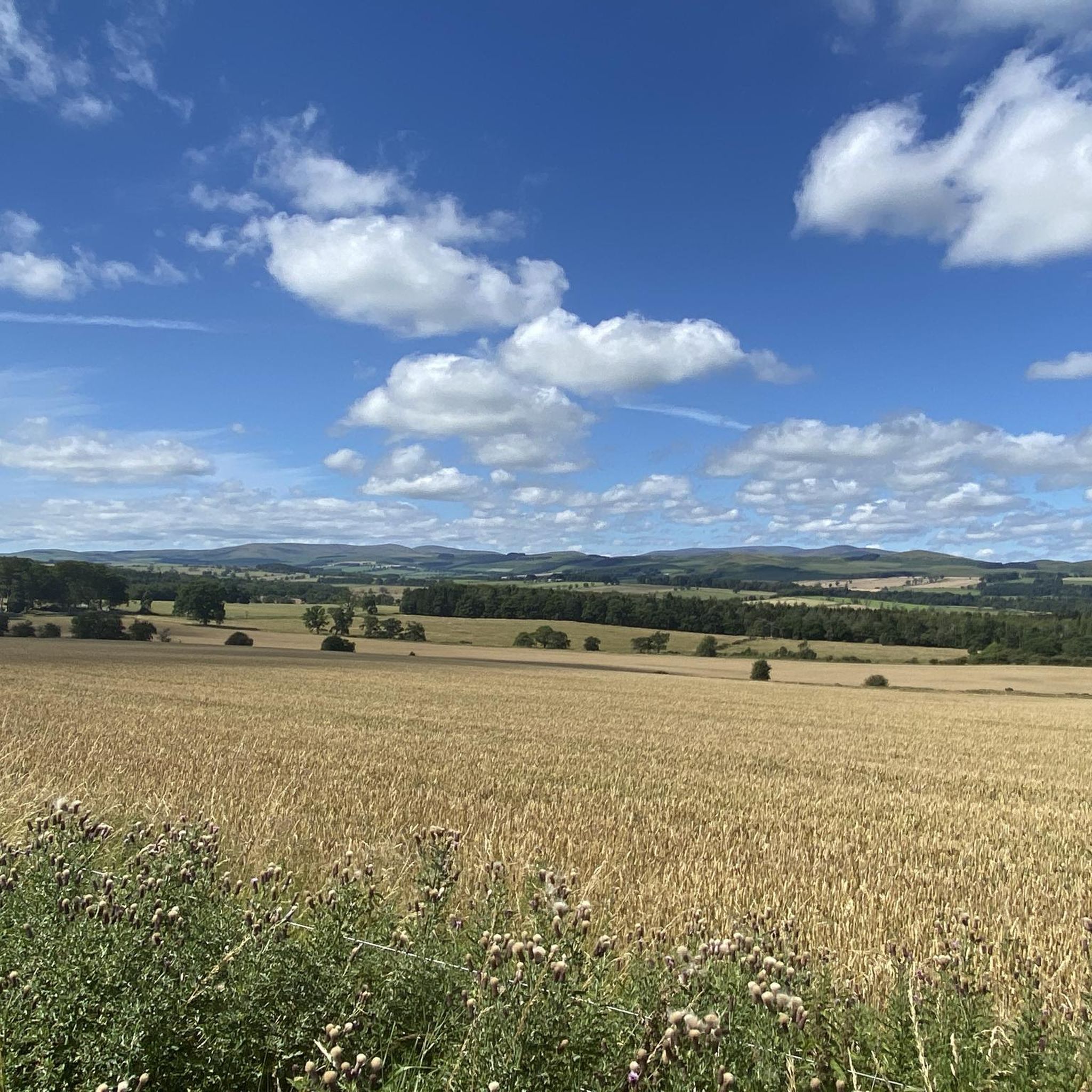
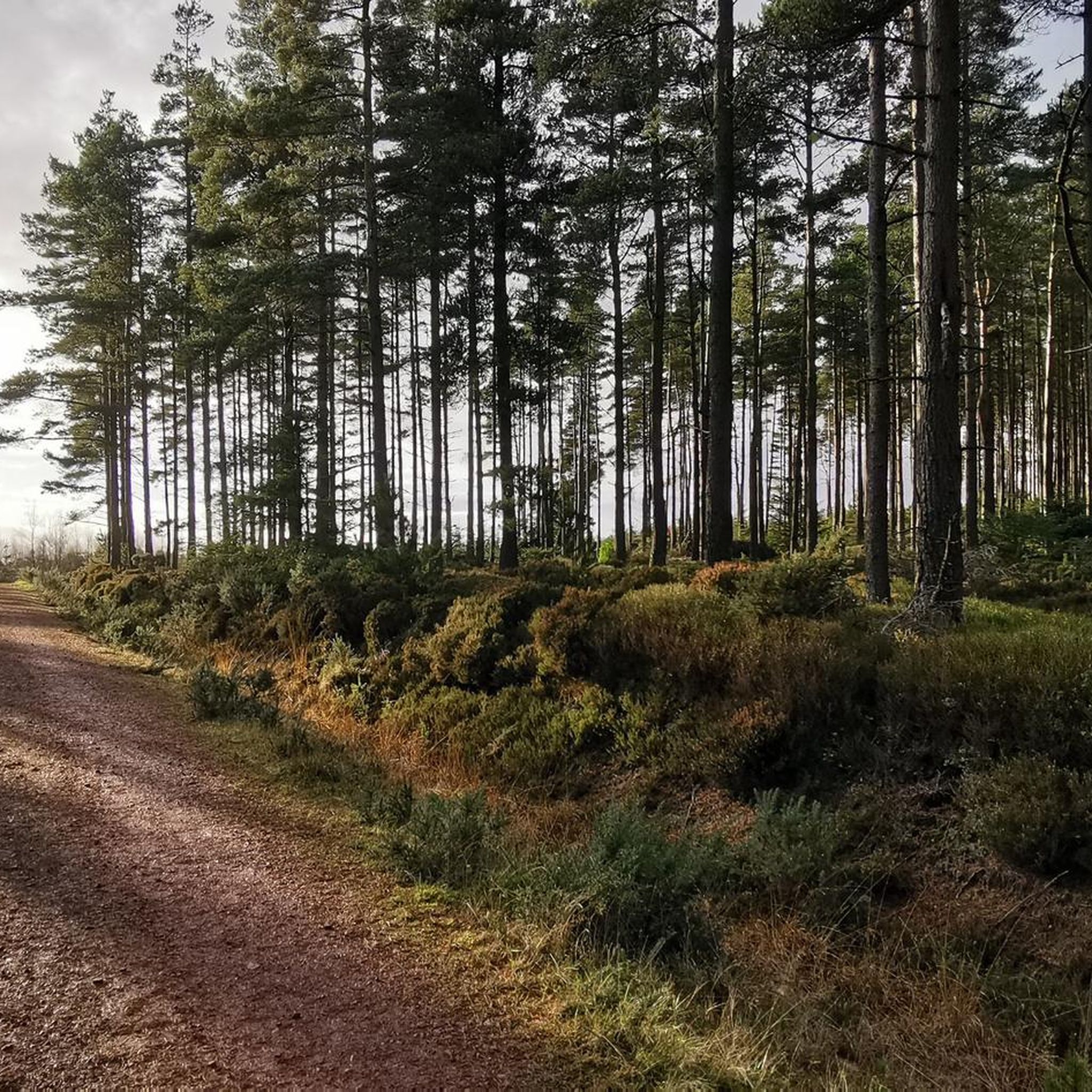
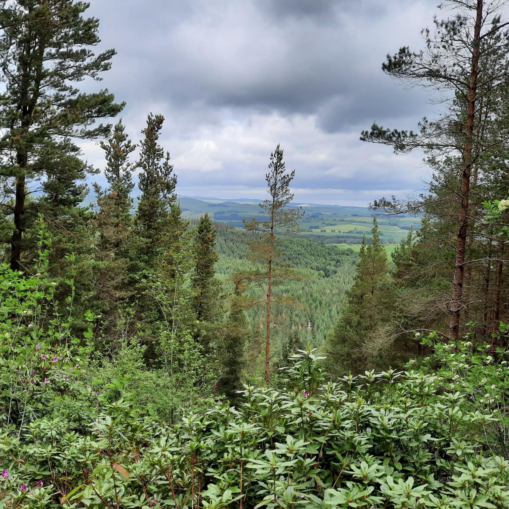

Tips from the Community

The route continues along the ridge for a few hundred metres further with lovely views to the west, north and east.
0
0

Coe Crags 306.7m P15.5 (1006ft) (Hill ID: 508863) [JNSA s9569] County of Northumberland Definitive List summit.
0
0

The crags above Thrunton Wood are a brilliant viewpoint, with top class views to the Cheviots.
0
0

No longer exists as it did before. Extensive storm damage & subsequent logging activities mean it's no longer wooded. It is heavily rutted & not rideable any more, although it is probably walkable.
2
0
The rise between the Northern parts of Thrunton & the 'main' woods no longer exists (June '25). Extensive storm damage & logging activities mean it's unrideable in either direction. Probably still walkable, but not exactly picturesque.
0
0

Avoid this route, after 3.4 miles the track is destroyed and impassable due to forestry. It is quite dangerous
1
0
Frequently Asked Questions
How many hiking trails are available around Whittingham?
There are 13 hiking trails around Whittingham, catering to various skill levels. You'll find 6 easy routes, 6 moderate options, and 1 more challenging trail.
What kind of terrain can I expect on hikes in Whittingham?
Hikes in Whittingham feature a diverse landscape, from tranquil riverside paths and serene reservoir circuits to rolling fells and expansive agricultural countryside. The area's proximity to the Forest of Bowland also means access to broader, more dramatic landscapes.
Are there any easy or beginner-friendly hiking routes in Whittingham?
Yes, Whittingham offers several easy routes perfect for beginners or those seeking a relaxed walk. For example, the View of Thrunton Wood – Thrunton Woods Viewpoint loop from Thrunton Trout Fishery is an easy 2-mile (3.3 km) trail that can be completed in just over an hour, offering gentle paths through Thrunton Wood.
Are there any circular walks in Whittingham?
Many of the trails in Whittingham are circular, allowing you to start and end at the same point. A popular moderate circular option is the Coe Crag and Long Crag Circular Trail, which covers 8.6 miles (13.8 km) with an elevation gain of 378 meters.
What natural features or landmarks can I see along the hiking trails?
Whittingham's trails offer views of serene reservoirs, rolling fells, and agricultural landscapes. You can also explore nearby natural monuments such as the Linhope Spout Waterfall or the Long Crag Summit for panoramic views. Historical sites like the Lordenshaw Cup and Ring Marked Rock are also within reach.
Are there any family-friendly hiking options in Whittingham?
Yes, Whittingham has routes suitable for families, particularly the easier trails that wind through nature reserves or along reservoir paths. These often have minimal elevation changes and provide opportunities to experience local flora and fauna. Consider the shorter loops within areas like Thrunton Wood.
What do other hikers enjoy most about hiking in Whittingham?
The hiking routes in Whittingham are highly regarded by the komoot community, with an average score of 4.3 stars from over 130 reviews. Hikers often praise the diverse landscapes, from tranquil riverside paths to scenic fells, and the variety of trails suitable for different abilities.
Are there any waterfalls to visit near Whittingham?
Yes, a notable waterfall in the vicinity is the Linhope Spout Waterfall, which can be a rewarding destination for hikers looking for a natural monument to explore.
What are the options for parking when hiking in Whittingham?
While specific parking details vary by trailhead, many popular hiking areas in Whittingham, especially those near nature reserves or trailheads like Thrunton Trout Fishery, typically offer designated parking facilities. It's advisable to check individual route descriptions for precise parking information.
Can I find cafes or pubs near the hiking trails in Whittingham?
Whittingham and its surrounding villages offer local amenities, including cafes and pubs, where you can refresh after a hike. The region's agricultural setting means you'll often find welcoming establishments in nearby settlements like Rothbury Village Centre.
What is the best time of year to go hiking in Whittingham?
Whittingham offers enjoyable hiking experiences throughout the year. Spring and summer provide lush greenery and warmer weather, ideal for exploring riverside and reservoir paths. Autumn brings beautiful fall colors to the fells, while winter can offer crisp, clear walks, though some paths might be muddy.
Are there any longer, more challenging hikes available?
Yes, for those seeking a longer and more challenging experience, Whittingham offers routes like the Coe Crag and Long Crag Circular Trail. This moderate 8.6-mile (13.8 km) route features significant elevation gain and takes around 4 hours to complete, providing a more strenuous outing.
Most popular routes around Whittingham
Most popular attractions around Whittingham

Get inspired with the komoot mobile app


Explore more
Browse the best Hikes in other regions.
