The best road cycling routes around Bryngwran
4.5
(73)
2,147
riders
196
rides
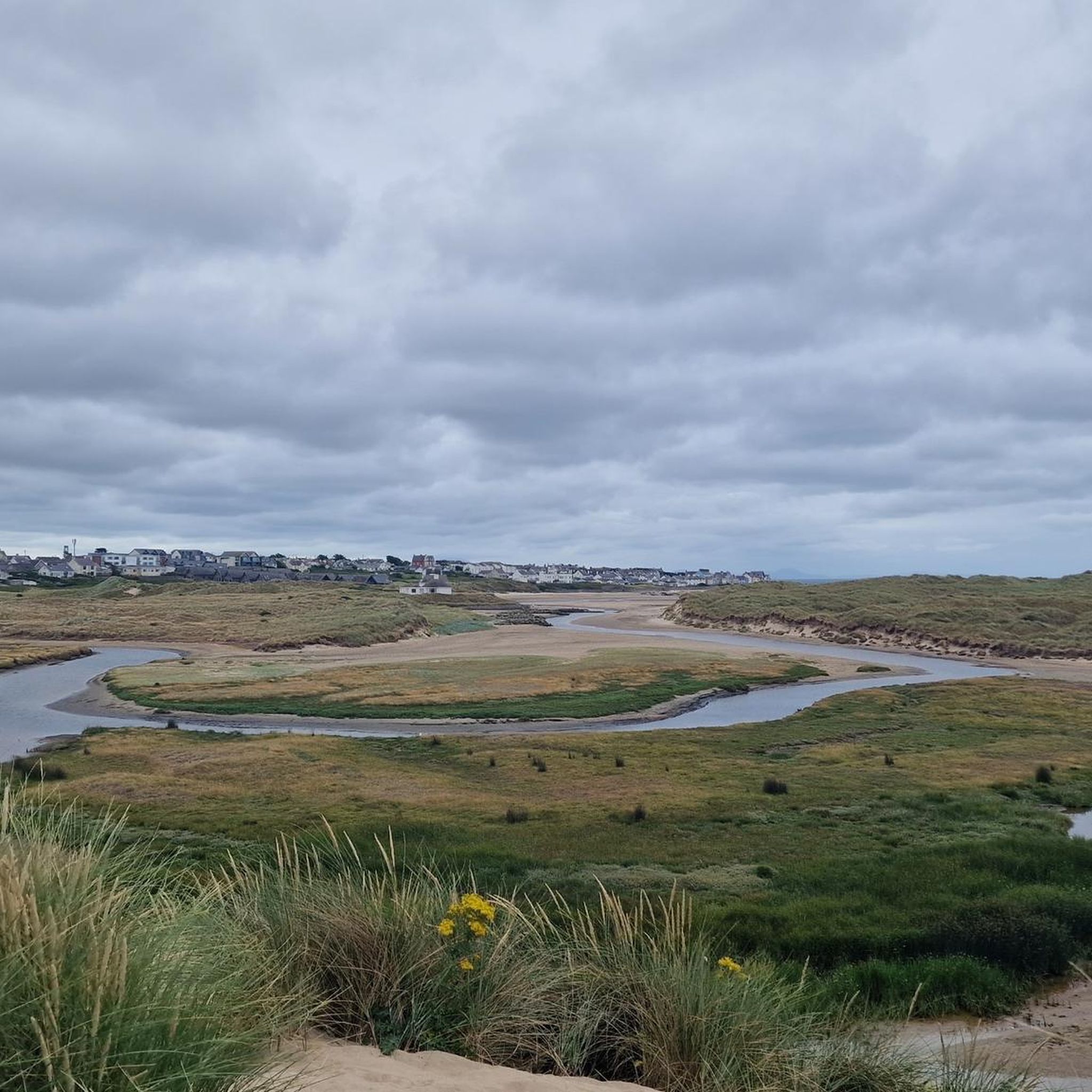
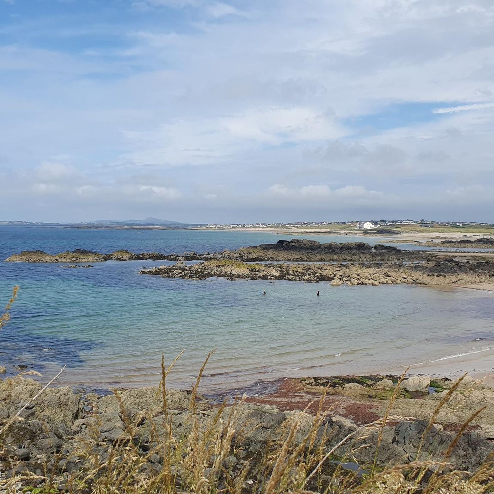
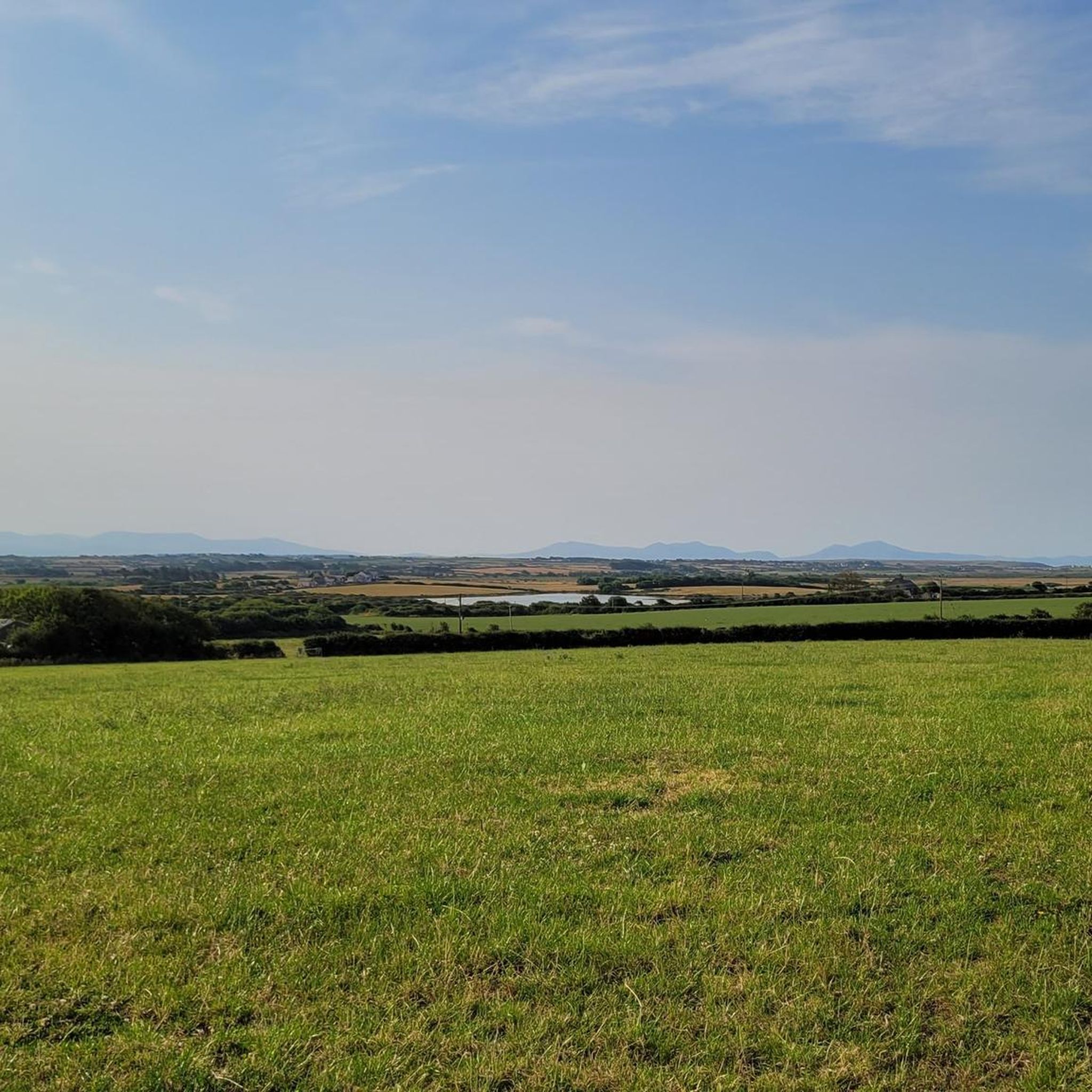
Road cycling around Bryngwran, located on the Isle of Anglesey, offers routes characterized by generally gentle gradients and an abundance of quiet country lanes. The region is part of the Anglesey Area of Outstanding Natural Beauty (AONB), featuring diverse landscapes including dramatic cliffs, sheltered coves, and sandy beaches. Its network of roads provides varied terrain suitable for road cyclists.
Best road cycling routes around Bryngwran
- The most popular road cycling route is Trearddur Bay Beach – Porth Dafarch Beach loop…
Last updated: October 11, 2026
4.7
(3)
170
riders
55.8km
02:23
340m
340m
Moderate road ride. Good fitness required. Some segments of this route may be unpaved and difficult to ride.
65
riders
42.6km
01:50
230m
230m
Easy road ride. Great for any fitness level. Mostly well-paved surfaces and easy to ride.

20
riders
22.5km
01:00
170m
170m
Easy road ride. Great for any fitness level. Mostly well-paved surfaces and easy to ride.
5.0
(1)
18
riders
28.8km
01:15
230m
230m
Easy road ride. Great for any fitness level. Mostly well-paved surfaces and easy to ride.
5.0
(2)
17
riders
19.4km
00:49
60m
60m
Easy road ride. Great for any fitness level. Mostly well-paved surfaces and easy to ride.
Get access to more routes and recommendations from other explorers.
Already have an account?
Our route recommendations are based on thousands of hikes, rides, and runs completed by other people on komoot.
Start today with a free account
Your next adventure awaits.
Tips from the Community

Open later than other cafés in the area. Great service and great food!
0
0

For its natural beauty and easy access. This route is perfect for both novice and more experienced cyclists. A well designed cycle lane separates motorists, pedestrians and cyclists.
0
0

Bethel is a very small village with only a couple of shops a church called (Capel Bethel Chapel) and only 2 pubs. I found one little premier shop for water.
3
0
Found this lovely cafe off the A5 London Road. Perfect little cafe with amazing views, some funny sheds you can sit in, and plenty of outside seating. Open Sat - Wednesday 11am till 4pm closed Thursday and Friday Would definitely recommend it. The path that carries on you will also see public toilets in the carpark. If you go beyond there, it's a dead end for bikes, but ok for walkers.
3
0
Caffi'r Dafarn/ tavern cafe is a beautiful stone building off High St, Bryngwran its beautiful inside and has a large garden area at the rear. Great staff and amazing food and drink.
4
0
Dead end for road bikes. It's a big carpark, but it does have a public toilet 🚻 Nice on a sunny day, but not really a good highlight unless you need the loo.
4
0
Ffynnon y Wrach is virtually impossible to miss, a strange alien structure at the very side of the road beneath Holyhead Mountain as you ride up towards South Stack. An octagonal brick tower beneath a hemispherical rusted metal dome. Ffynnon y Wrach is generally translated as the Witches Well. The name dates back into antiquity the earliest date I have found of a written record being 1733; but there is no knowledge of the witch or witches to which its name might refer.
3
0
Fantastic views of the area and a good camping site set in 18 acres with panoramic views of the stunning Holy Island coast line, nearby beaches, coastal trails and wildlife spots, Blackthorn Farm is perfect for camping or caravaning. And with road, rail and ferry services within a 3 mile radius, it is the ideal base to explore Anglesey and North Wales. I wonderful base camp for cyclists
3
0
Frequently Asked Questions
What kind of terrain can I expect when road cycling around Bryngwran?
Road cycling around Bryngwran, located on the Isle of Anglesey, is characterized by generally gentle gradients and an abundance of quiet country lanes. The region is part of the Anglesey Area of Outstanding Natural Beauty (AONB), offering diverse landscapes including dramatic cliffs, sheltered coves, and sandy beaches, providing stunning backdrops for your rides.
Are there road cycling routes suitable for families or beginners?
Yes, Anglesey is known for catering to both families and experienced cyclists. Many routes feature gentle gradients and quiet country lanes. For example, the RAF Valley – Four Mile Bridge loop from Bryngwran is an easy 26.4-mile path that navigates inland areas using these quiet lanes. The Lon Las Cefni Cycle Path is also well-designed and suitable for families.
What natural features or landmarks can I see along the road cycling routes?
You can encounter a variety of natural beauty and landmarks. Routes often pass through the Anglesey AONB, offering views of dramatic cliffs and sandy beaches. Specific points of interest include the Llyn Cefni Reservoir and Dam, the Stone bridge over the River Cefni, and the Stanley Embankment (The Cob), which connects Anglesey to Holy Island and offers views of the Cymyran Strait. You might also spot the unique landscapes of Parys Mountain on more challenging routes.
Are there any challenging road cycling routes near Bryngwran?
While many routes feature gentle gradients, more challenging options exist. The Copper Trail (Y Llwybr Copr) in the north of Anglesey, for instance, winds through picturesque bays like Cemlyn and Cemaes, and features the unique landscapes of Parys Mountain, offering a more demanding ride.
What do other road cyclists enjoy most about cycling in Bryngwran?
The road cycling routes around Bryngwran are highly rated by the komoot community, with an average score of 4.6 stars from over 60 reviews. Cyclists often praise the quiet country lanes, the diverse coastal and inland landscapes, and the variety of routes available for different skill levels.
Are there circular road cycling routes available?
Yes, Anglesey boasts several waymarked circular routes, making it convenient for cyclists who prefer to start and end their rides in the same location. The Trearddur Bay Beach – Porth Dafarch Beach loop from Rhosneigr is a popular moderate 34.5-mile circular route offering coastal views.
What is the best time of year to go road cycling in Bryngwran?
Anglesey offers pleasant cycling conditions for much of the year. Spring and autumn generally provide milder weather and fewer crowds, making them ideal. Summer is also popular, though coastal areas can be busier. Winter cycling is possible, but be prepared for cooler temperatures and potentially stronger winds, especially along the coast.
Can I find cafes or pubs along the road cycling routes?
Yes, many villages and towns along the routes, particularly those on the coast or larger settlements, offer cafes, pubs, and other amenities where you can stop for refreshments. Planning your route with potential stops in mind is recommended.
Is there public transport available to reach cycling routes around Bryngwran?
Anglesey has a public transport network, including bus services that connect various towns and villages. Some services may accommodate bikes, but it's advisable to check with the local operator for specific routes and bike carriage policies. Holyhead, a major transport hub, is also nearby.
Where can I find parking for road cycling routes in Bryngwran?
Parking is generally available in the main villages and towns across Anglesey, including Bryngwran and nearby Rhosneigr. Many popular starting points for routes, especially those near beaches or attractions, will have designated parking areas. Always check local signage for any restrictions or fees.
Are there any long-distance road cycling trails that pass through or near Bryngwran?
Yes, Bryngwran is close to significant national cycle networks. The Lon Las Cymru (National Cycle Network Route 8) begins in Holyhead and traverses Anglesey along quiet country lanes. The North Wales Cycle Route NCN 5 also starts in Holyhead, crossing the island and passing notable landmarks like Melin Llynon, Wales's only working windmill.
What are some scenic coastal road cycling routes?
Several routes offer breathtaking coastal views. The Llanddwyn Beach – Newborough Forest Gravel Road loop from Rhosneigr leads through coastal and forest landscapes. Additionally, routes around Holy Island take in landmarks such as the iconic South Stack Lighthouse, and you can enjoy vistas of Cemaes Bay and the Menai Suspension Bridge on other coastal rides.
Most popular routes around Bryngwran
Most popular attractions around Bryngwran

Get inspired with the komoot mobile app


Explore more
Browse the best Road cycling routes in other regions.
