The best cycling routes around Bryngwran
4.8
(156)
1,422
riders
113
rides
Touring cycling around Bryngwran offers routes across the western part of Anglesey, characterized by its coastal landscapes and rural roads. The area features a mix of flat sections and gentle hills, providing varied terrain for cyclists. Routes often pass through open countryside, near beaches, and alongside smaller bodies of water. The region's elevation changes are generally modest, making it accessible for different cycling abilities.
Best touring cycling routes around Bryngwran
- The most popular touring cycling route is Llyn Cerrig Bach…
Last updated: September 27, 2026
3.5
(4)
53
riders
50.6km
03:07
310m
310m
Moderate bike ride. Good fitness required. Mostly paved surfaces. Suitable for all skill levels.
21
riders
40.6km
02:43
270m
270m
Moderate bike ride. Good fitness required. Mostly paved surfaces. Suitable for all skill levels.

5.0
(1)
18
riders
24.4km
01:25
100m
100m
Easy bike ride. Great for any fitness level. Mostly paved surfaces. Suitable for all skill levels.
15
riders
18.9km
01:10
120m
120m
Easy bike ride. Great for any fitness level. Mostly paved surfaces. Suitable for all skill levels.
5.0
(2)
7
riders
Moderate bike ride. Good fitness required. Mostly paved surfaces. Suitable for all skill levels.
Get access to more routes and recommendations from other explorers.
Already have an account?
Our route recommendations are based on thousands of hikes, rides, and runs completed by other people on komoot.
Start today with a free account
Your next adventure awaits.
Tips from the Community

We visited for the Parkrun, which was cancelled whilst a walkway is fixed (some more weeks, I would expect). You can still access the lake along the disused railway line for part of the way - but not a good surface for running. Then there is a path around the lake with views across the lake and stretches through the woods, lovely, if rather muddy in places following wet weather. In total about 9 km around. Hope to do this again in the Spring with the promise of wild daffodils and perhaps a red squirrel.
0
0

Quiet paths easy cycling crosses deserted railway line still present, which there trying to reopen
0
0

St. Cybi’s Church in Holyhead, Anglesey, was founded in the 6th century by Saint Cybi. Surrounded by ancient Roman fort walls, it features architecture from the 13th to 16th centuries. Still an active parish church, it offers visitors a glimpse into Wales’ medieval history and unique religious heritage.
1
0

Llyn Cefni Dam During World War II, a water scheme was devised for the town of Llangefni in central Anglesey. It involved water from a local source being pumped to two settling tanks in the Dingle part of the town. From here the water was pumped across the river to a reservoir and water tower, on the site of the present Pennant Estate. These arrangements became redundant with the building of the Cefni Reservoir, which was completed in 1951, but the settling tanks and pumping station survive in Llangefni to this day. The new scheme was designed to supply most of the water needs for the people of Anglesey for the foreseeable future
3
0
Pont Marquis Bridge Spanning the Afon Cefni, carrying the Trefdraeth to Llangaffo road, c. 3km ENE of Malltraeth. The bridge, which is Grade II listed, was built in the early C19, was named for the Earl of Uxbridge, first Marquis of Anglesey. It gives wonderful scenery over the marsh land and plenty of wildlife.
6
0
Llangefni (meaning "church on the River Cefni", Welsh pronunciation: [ɬaŋˈɡɛvni]) population 5,116, making it the second-largest town in the county and the largest on the island. The community includes the village of Rhosmeirch. Wonderful welsh town with all the shop can get busy in summer holidays.
4
0
The bridge itself takes the same name as the village it is situated in and is one of three bridges connecting Holy Island and Anglesey. The bridge is approximately four miles (6.5 km) from Holyhead via the old road route, giving it, and the village, its name. A bridge at this location was in existence by 1530, and was the only land route to Holyhead until the construction of the Stanley Embankment in 1823. It is 120 metres (390 ft) long and carries the B4545 road over the Cymyran strait. I think the crossing over the water is about 5km
5
0
Frequently Asked Questions
How many touring cycling routes are available around Bryngwran?
There are over 120 touring cycling routes around Bryngwran, offering a wide variety of options for different skill levels and preferences. The area is well-regarded by the komoot community, with an average rating of 4.8 stars from over 100 reviews.
What is the general difficulty level of touring cycling routes in Bryngwran?
The routes around Bryngwran are generally accessible, with a mix of easy and moderate options. You'll find over 40 easy routes and more than 70 moderate routes, making it suitable for various cycling abilities. There are also a few more challenging routes for experienced cyclists.
Are there any family-friendly or beginner cycling routes near Bryngwran?
Yes, Bryngwran offers numerous easy routes suitable for families and beginners. For instance, the Four Mile Bridge – Trearddur Bay Beach loop from Llyn Cerrig Bach is an easy 15.2-mile trail that takes about 1 hour 25 minutes, leading through coastal areas and past beaches. Another good option is the Rhosneigr Beach – Tirwedd Cenedlaethol Ynys Môn loop from Caergeiliog, an 18.9-mile easy route.
What kind of terrain can I expect on Bryngwran touring bike trails?
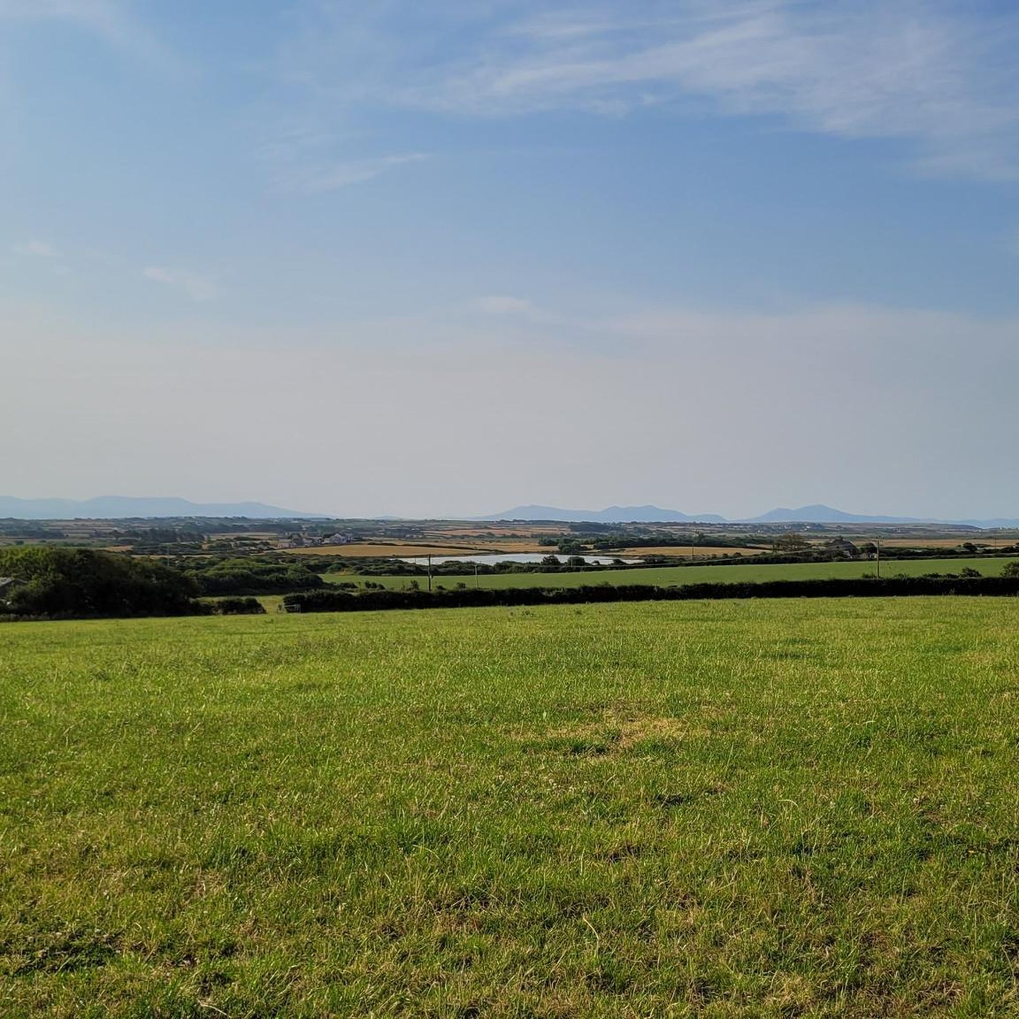
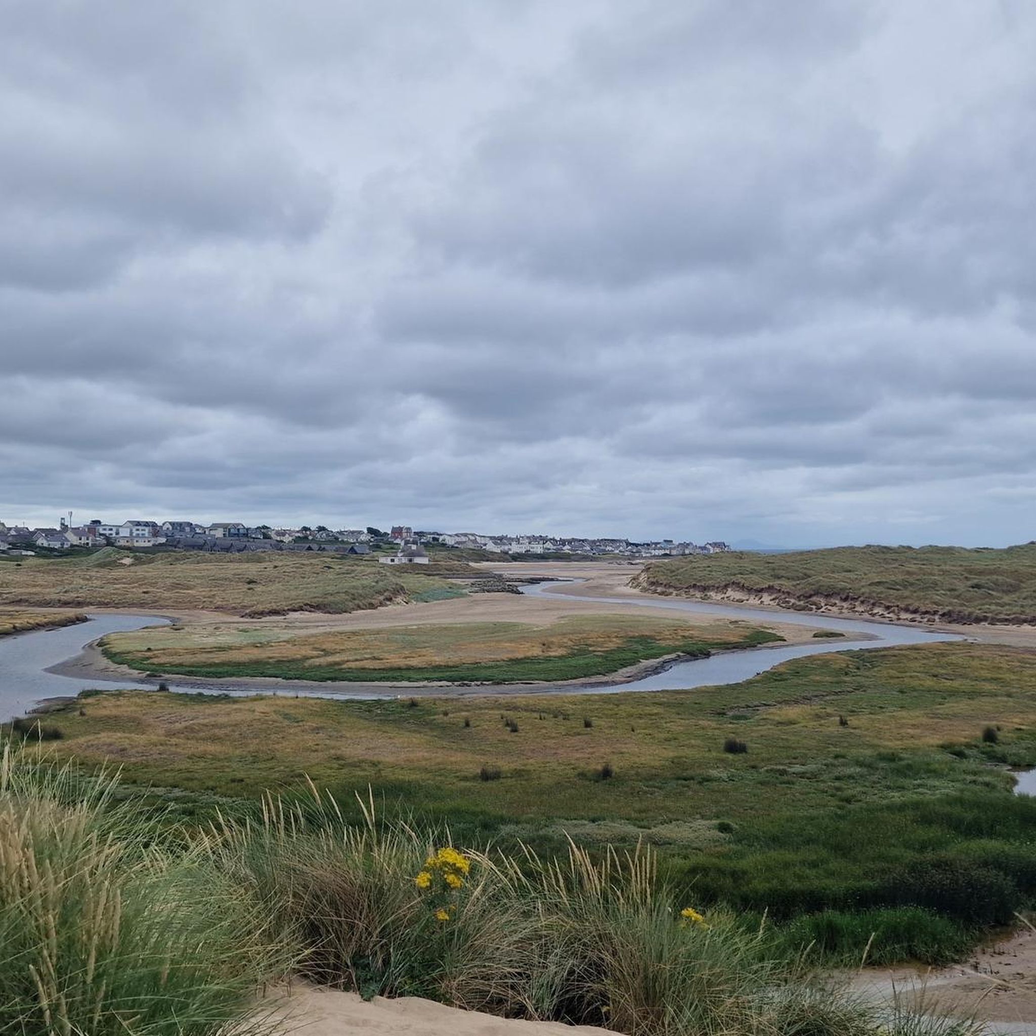
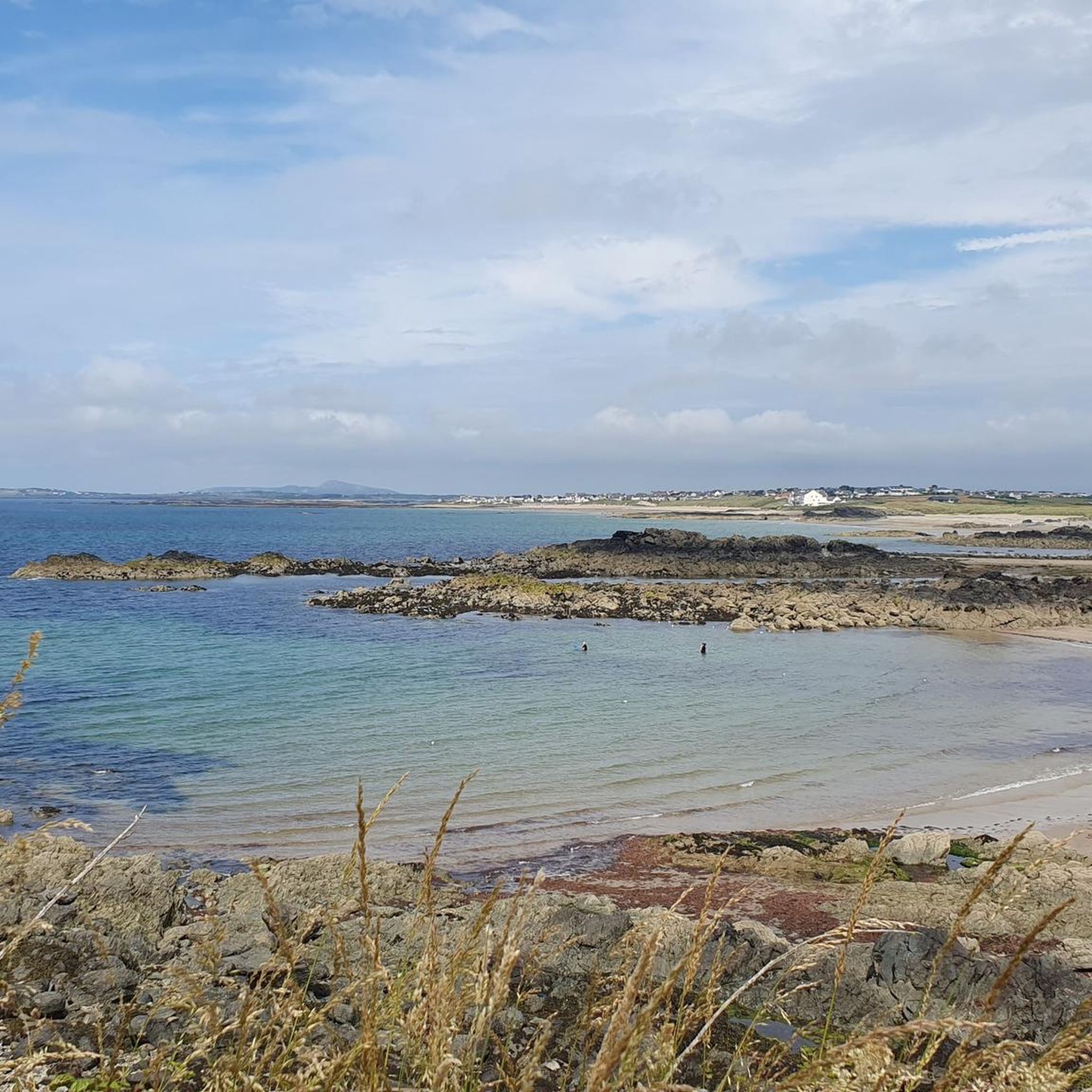
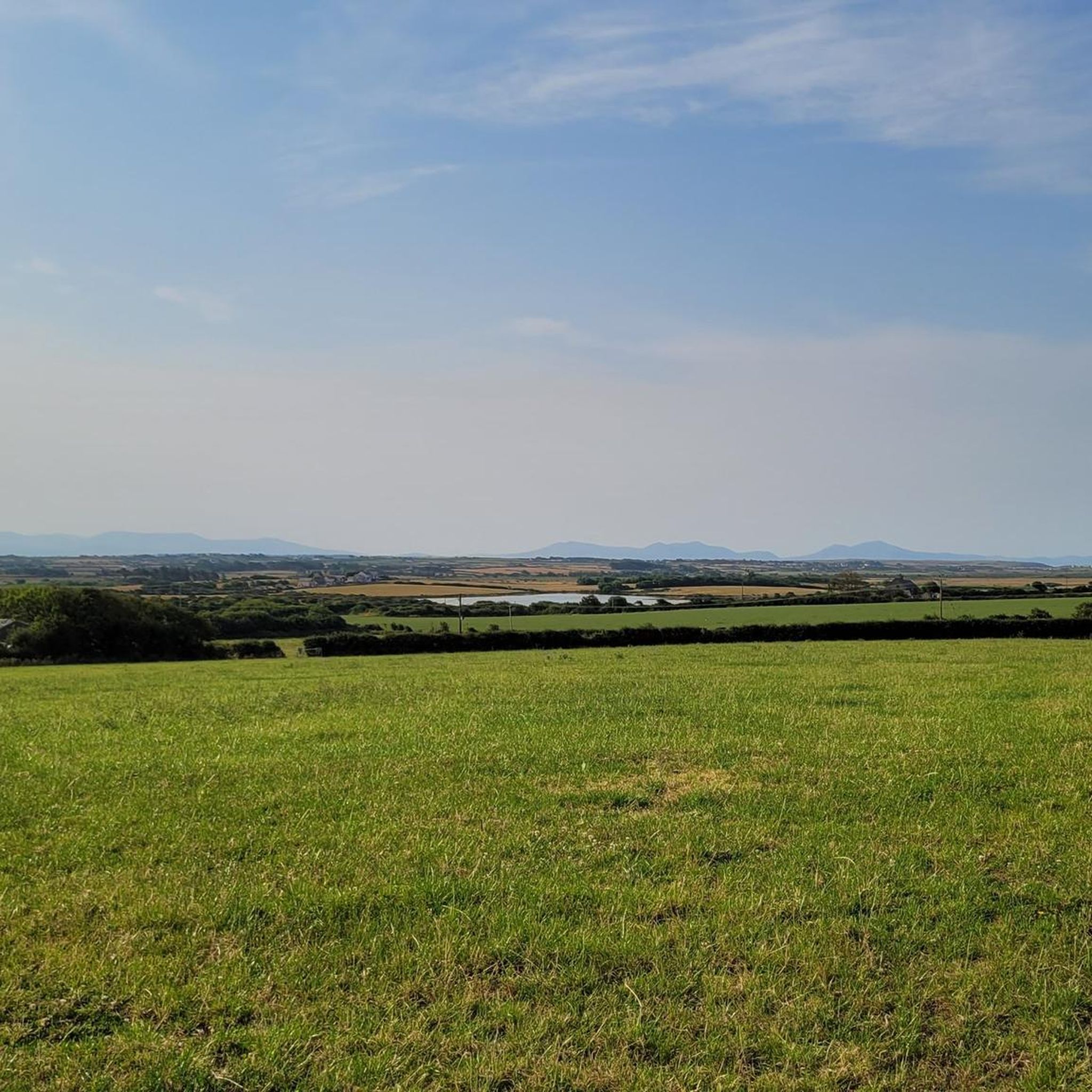
Touring cycling around Bryngwran is characterized by its coastal landscapes and rural roads across the western part of Anglesey. You'll encounter a mix of flat sections and gentle hills, with modest elevation changes. Routes often pass through open countryside, near beaches, and alongside smaller bodies of water.
Are there any circular bike routes in the Bryngwran area?
Yes, many of the touring cycling routes around Bryngwran are designed as loops. For example, the popular Llyn Cerrig Bach – St Cybi's Church loop from Rhosneigr is a 31.1-mile moderate trail. Another excellent circular option is the Newborough Forest Gravel Road – Rhosneigr Beach loop from Rhosneigr, which combines forest sections with coastal views.
What are some scenic viewpoints or interesting landmarks to see along the routes?
The routes often pass by significant natural and historical sites. You might encounter the Llyn Cerrig Bach, a lake with historical significance, or the Stone bridge over the River Cefni. Coastal paths offer views of beaches like Trearddur Bay. The The Dingle Local Nature Reserve and the Violet Cliffs of Anglesey also offer beautiful natural scenery.
Are there any routes that follow dedicated cycle paths?
Yes, some routes incorporate dedicated cycle paths. For instance, the Stone bridge over the River Cefni – Afon Cefni River Trail loop from Ty Croes utilizes sections of the Lon Las Cefni cycle path along the Afon Cefni, providing a pleasant and often traffic-free cycling experience.
What is the best season for touring cycling in Bryngwran?
The best season for touring cycling in Bryngwran is generally from spring through early autumn (April to October). During these months, the weather is typically milder, with longer daylight hours and less rainfall, making for more enjoyable rides along the coast and through the countryside. Always check local weather forecasts before heading out.
Where can I find parking and trailheads for cycling in Bryngwran?
Parking is often available in the villages and towns that serve as starting points for routes, such as Rhosneigr or near Llyn Cerrig Bach. Many routes begin from accessible points within these communities, offering convenient access to the trails. Specific parking details can often be found within individual route descriptions on komoot.
What should I pack for a touring cycling trip around Bryngwran?
Given the coastal and rural nature of the area, it's advisable to pack layers of clothing suitable for varying weather conditions, including waterproofs. Essential items include a helmet, repair kit, water, snacks, and a fully charged phone. Sunscreen and sunglasses are also recommended, especially for coastal rides.
Are there cafes or pubs along the cycling routes for refreshments?
Yes, many routes pass through or near villages and towns such as Rhosneigr, which offer various options for refreshments, including cafes, pubs, and local shops. It's a good idea to check the route map in advance to identify suitable stops for food and drink along your chosen path.
What do other touring cyclists enjoy most about cycling in Bryngwran?
The area is highly rated by the komoot community, with an average score of 4.8 stars. Reviewers often praise the diverse landscape, combining coastal views with quiet rural roads, and the accessibility of routes for various skill levels. The opportunity to explore Anglesey's unique character by bike is a frequently highlighted aspect.
Most popular routes around Bryngwran
Most popular attractions around Bryngwran

Get inspired with the komoot mobile app


Explore more
Browse the best Cycling routes in other regions.
