The 9 Most Amazing Peaks around Staudt
Best mountain peaks around Staudt are found in the Westerwaldkreis district of Rhineland-Palatinate, Germany. The area features a gently undulating landscape with elevations more accurately described as hills or elevated terrain. These elevated points provide opportunities for walks and offer views of the local landscape. Staudt itself lies at elevations ranging from approximately 260 to 285 meters above sea level.
Best mountain peaks around Staudt
- The most popular mountain peaks is Helleberg Observation Tower, a viewpoint that offers panoramic…
Last updated: July 1, 2026
Köppel Observation Tower
Highlight • Viewpoint
Is worth a trip. :-)
Translated by Google •
Tip by

Alarmstange (545 m) – Highest Point of the Montabaurer Höhe
Highlight • Summit
Translated by Google •
Tip by

Sign up now to discover places like this
Get recommendations on the best single tracks, peaks, & plenty of other exciting outdoor places.
Sign up for free
Translated by Google •
Tip by

Helleberg Observation Tower
Highlight • Viewpoint
Translated by Google •
Tip by

Alarmstange Summit and Communication Tower
Highlight • Summit
de.wikipedia.org/wiki/Alarmstange_(Berg)
Translated by Google •
Tip by

Sign up for free to discover even more peaks around Staudt.
Sign up for free
Already have an account?
Start today with a free account
Your next adventure awaits.
Login or Signup
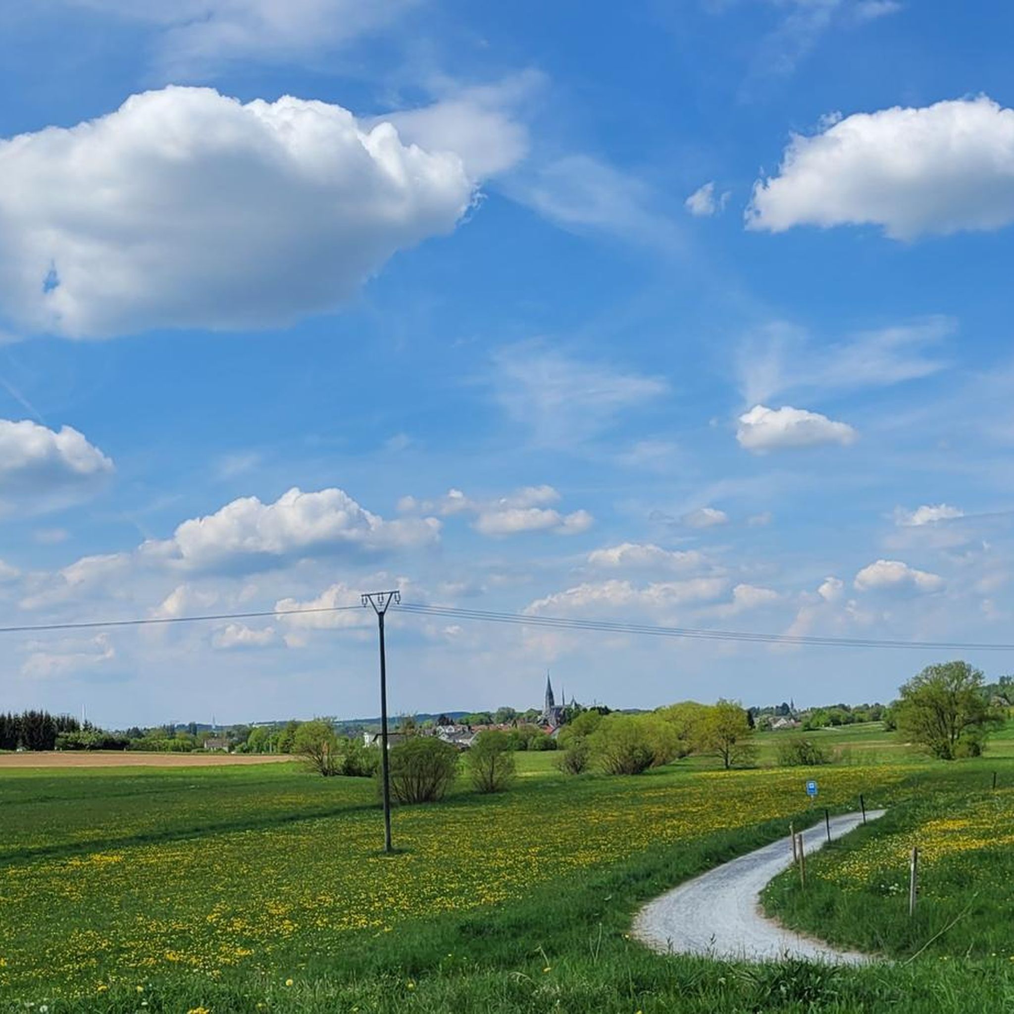
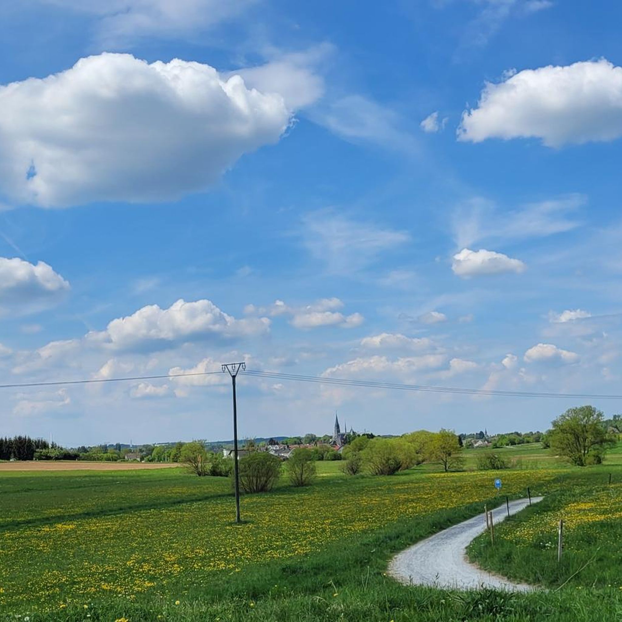

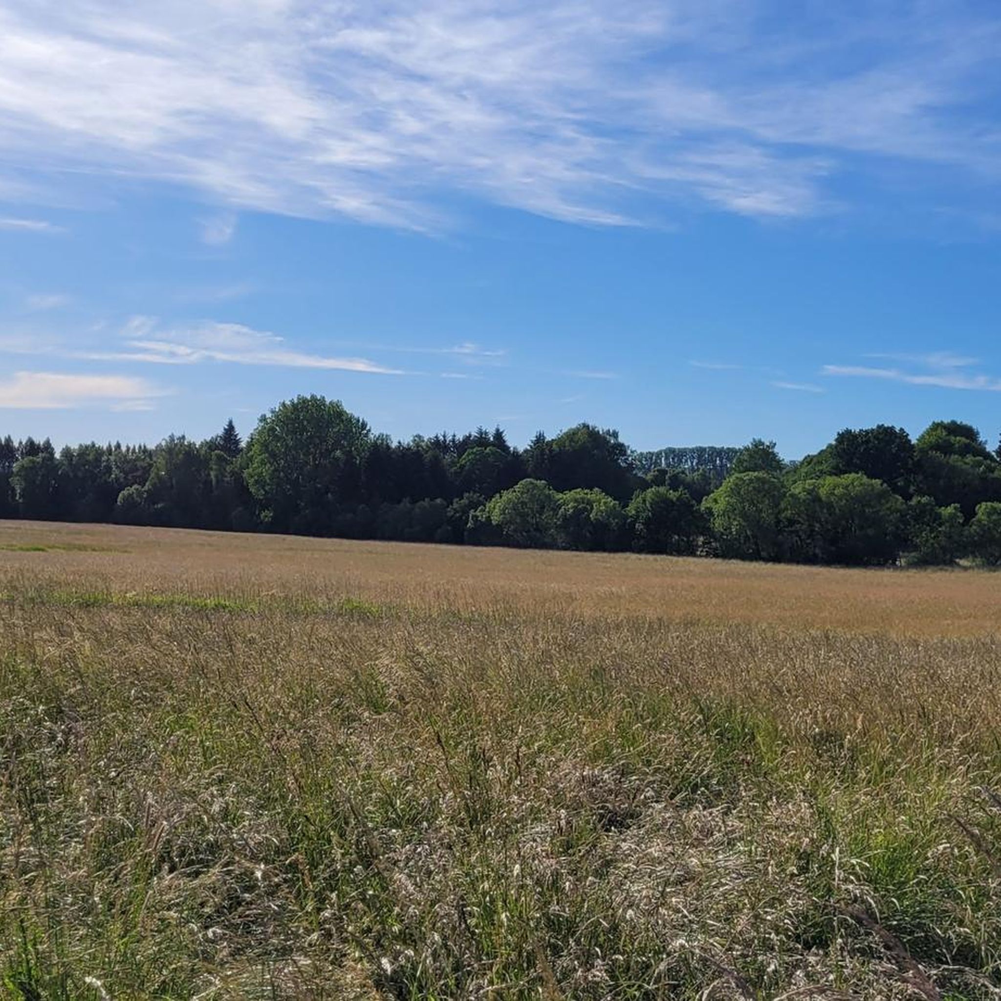
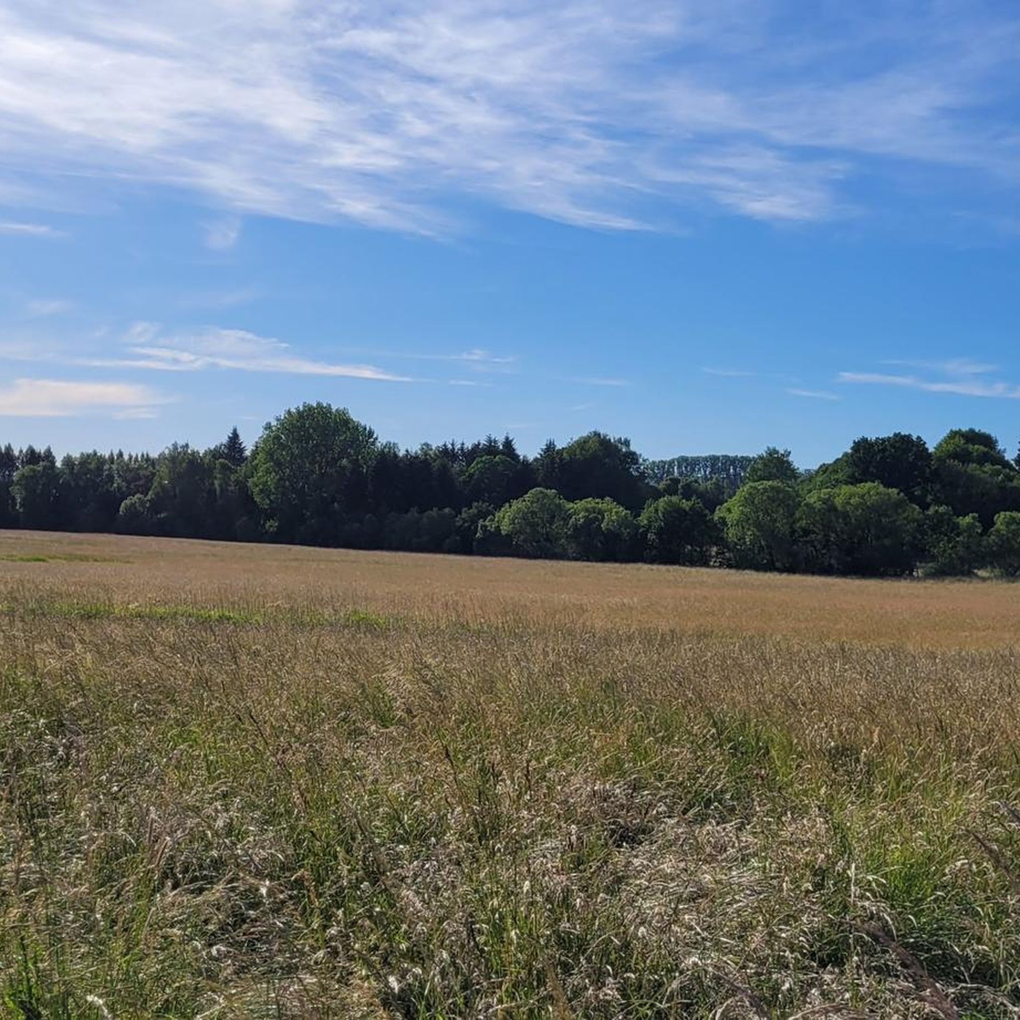
Tips from the Community

Reminds me of MIB 🤣
0
0

Highest mountain in the Montabaurer Höhe. Used as a signal mountain with historical significance. https://de.wikipedia.org/wiki/Alarmstange_(Berg)
0
0

This striking tower offers an amazing view from above - weather permitting.
4
0

Anyone who has managed the 160 steps to the top will get a beautiful all-round view.
4
0

Beautiful observation tower ... 💥💥💥. You can see the whole of the Unterwesterwald ... 😃 GREAT
5
0

A beautiful bike path leads past and you have a beautiful view as the forests have now fallen victim to the bark beetle🥴
7
0

Super nice area for mountain biking and walking.
5
0

Great view, unfortunately the tower is covered with shards all around. Attention cyclists!
4
0
Frequently Asked Questions
What are the most notable elevated points and viewpoints around Staudt?
The region around Staudt offers several elevated points and observation towers that provide excellent views. Among the most popular are the Helleberg Observation Tower, which stands at 490 meters above sea level and offers panoramic views of the Westerwald Lake District, and the Köppel Observation Tower, known for its extensive vistas including the Gr. Feldberg, Eifel volcanoes, and Siebengebirge. Another significant spot is the Alarmstange (545 m), which marks the highest point of the Montabaurer Höhe.
Are there family-friendly elevated points or viewpoints suitable for children around Staudt?
Yes, the Helleberg Observation Tower is considered family-friendly. While it requires climbing 160 steps to reach the top platform, the panoramic views are rewarding for all ages. The surrounding area also offers pleasant walks suitable for families.
What kind of natural features can I expect to see when visiting the elevated areas near Staudt?
The elevated points around Staudt, while not towering mountains, offer views over the gently undulating landscape of the Westerwald. You can expect to see forests, open fields, and distant views of other natural features like the Westerwald Lake District from spots such as the Helleberg Observation Tower. The Malberg summit also features a unique rock formation known as the Wildweiberhäuschen.
Are there historical sites or unique landmarks among the elevated points near Staudt?
The Malberg summit is notable not only for its views but also for the historically significant Wildweiberhäuschen rock formation, which adds a cultural dimension to the natural landscape.
What outdoor activities can I do near the elevated points around Staudt?
The area around Staudt is well-suited for various outdoor activities. You can find numerous routes for hiking and cycling. For hiking, explore trails like the 'View of Westerwälder Dom – View of Malberg loop' or the 'Malberg Volcano – View of Malberg loop'. Cyclists can enjoy routes such as the 'Montabaur Castle – Heilborn Chapel and Linden Tree loop'. You can find more details on these activities in the hiking guide, road cycling guide, and general cycling guide for Staudt.
What do visitors enjoy most about the elevated points and viewpoints around Staudt?
Visitors frequently praise the panoramic views, especially from observation towers like Köppel Observation Tower and Helleberg Observation Tower. The ascent to these towers is often described as worthwhile, offering breathtaking vistas. The peaceful atmosphere and the opportunity for pleasant walks and bike rides through the scenic landscape are also highly valued.
Are there any challenging climbs or more difficult trails around Staudt's elevated points?
While Staudt's immediate vicinity features more gentle hills, some hiking and cycling routes offer moderate to difficult sections. For instance, the 'View of Malberg – Wooden Bridge Over the Stream loop' is a difficult hiking route. For more substantial mountain experiences with challenging ascents, you would need to venture to larger mountain ranges in Rhineland-Palatinate, such as the Hunsrück or Eifel.
Can I find food and refreshments near the elevated points or hiking trails?
Yes, near the Köppel Observation Tower, you can find the Köppelhütte, which offers rustic charm and delicious food. For other trails, it's advisable to check local amenities in nearby villages like Staudt itself for cafes, pubs, and restaurants.
What is the highest point in the immediate vicinity of Staudt?
The highest point directly mentioned in the guide is the Alarmstange (545 m), which is the highest point of the Montabaurer Höhe. Within the community of Staudt itself, elevated points like Fussenacker reach about 291 meters above sea level.
Are there specific hiking trails that offer circular routes around the elevated points?
Yes, many of the hiking routes around Staudt are designed as loops. Examples include the 'View of Westerwälder Dom – View of Malberg loop' and the 'Malberg Volcano – Moschheim Railway Viaduct loop', both starting from Staudt. These allow you to experience the varied terrain and viewpoints without retracing your steps.
Is it possible to visit the elevated points around Staudt using public transport?
While specific public transport connections directly to every elevated point might be limited, Staudt itself is accessible by public transport. From there, you can often reach trailheads or the base of the elevated points by walking or local bus services. It's recommended to check local bus schedules for connections to specific starting points for your chosen route.
What is the best time of year to visit the elevated points and trails around Staudt?
The region is enjoyable throughout much of the year. Spring and autumn offer pleasant temperatures and beautiful scenery with blooming flowers or colorful foliage, making them ideal for hiking and cycling. Summer is also popular, though it can be warmer. Winter can offer a different, serene experience, especially if there's snow, but some trails might be more challenging due to conditions.
Most popular attractions around Staudt

Get inspired with the komoot mobile app


Explore more
See even more amazing summits around Staudt with these guides:
