The 20 Most Amazing Peaks around Bad Soden-Salmünster
Best mountain peaks around Bad Soden-Salmünster are situated on the edge of the Spessart low mountain range in Hesse, Germany. This region is characterized by dense forests and rolling hills, offering opportunities for outdoor activities. The area provides scenic views and a variety of well-maintained hiking routes. It is an ideal destination for hikers and nature enthusiasts seeking to explore the natural landscape.
Best mountain peaks around Bad Soden-Salmünster
- The most popular mountain peaks is Horst Summit (541 m),…
Last updated: July 21, 2026
Vier Fichten Crossroads and Wild Boar Sculpture
Highlight • Monument
Translated by Google •
Tip by

Wartturm on the Molkenberg
Highlight • Monument
Showing Translation
Tip by

Sign up now to discover places like this
Get recommendations on the best single tracks, peaks, & plenty of other exciting outdoor places.
Sign up for free
Beilstein Trail
Highlight • Trail
Showing Translation
Tip by

Horst Summit (541 m)
Highlight • Summit
Translated by Google •
Tip by
Wächtersbach Castle
Highlight • Castle
Translated by Google •
Tip by

Sign up for free to discover even more peaks around Bad Soden-Salmünster.
Sign up for free
Already have an account?
Start today with a free account
Your next adventure awaits.
Login or Signup
Popular around Bad Soden-Salmünster
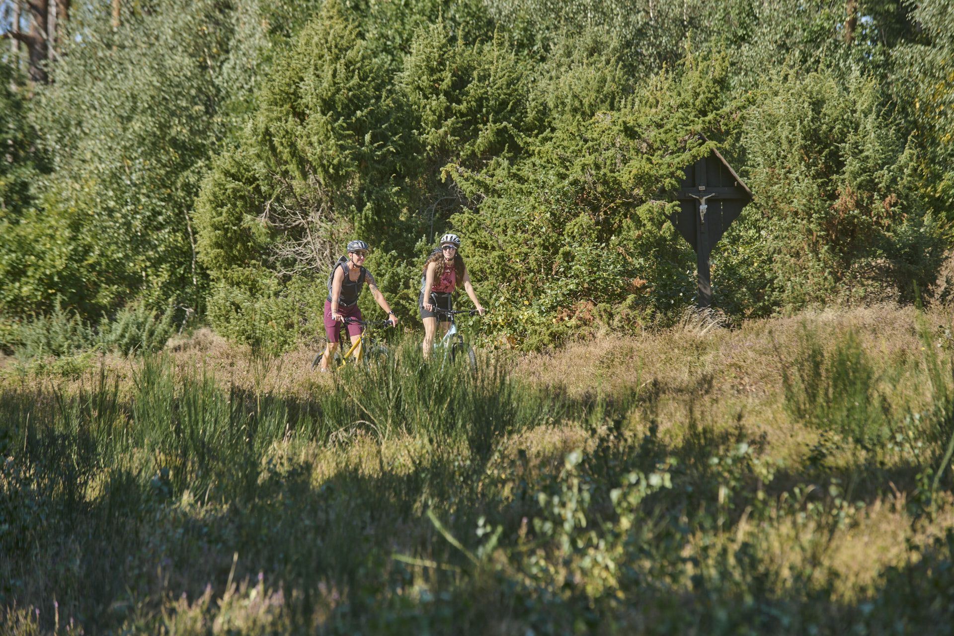
Nature, trails and local cuisine – MTB in the Spessart
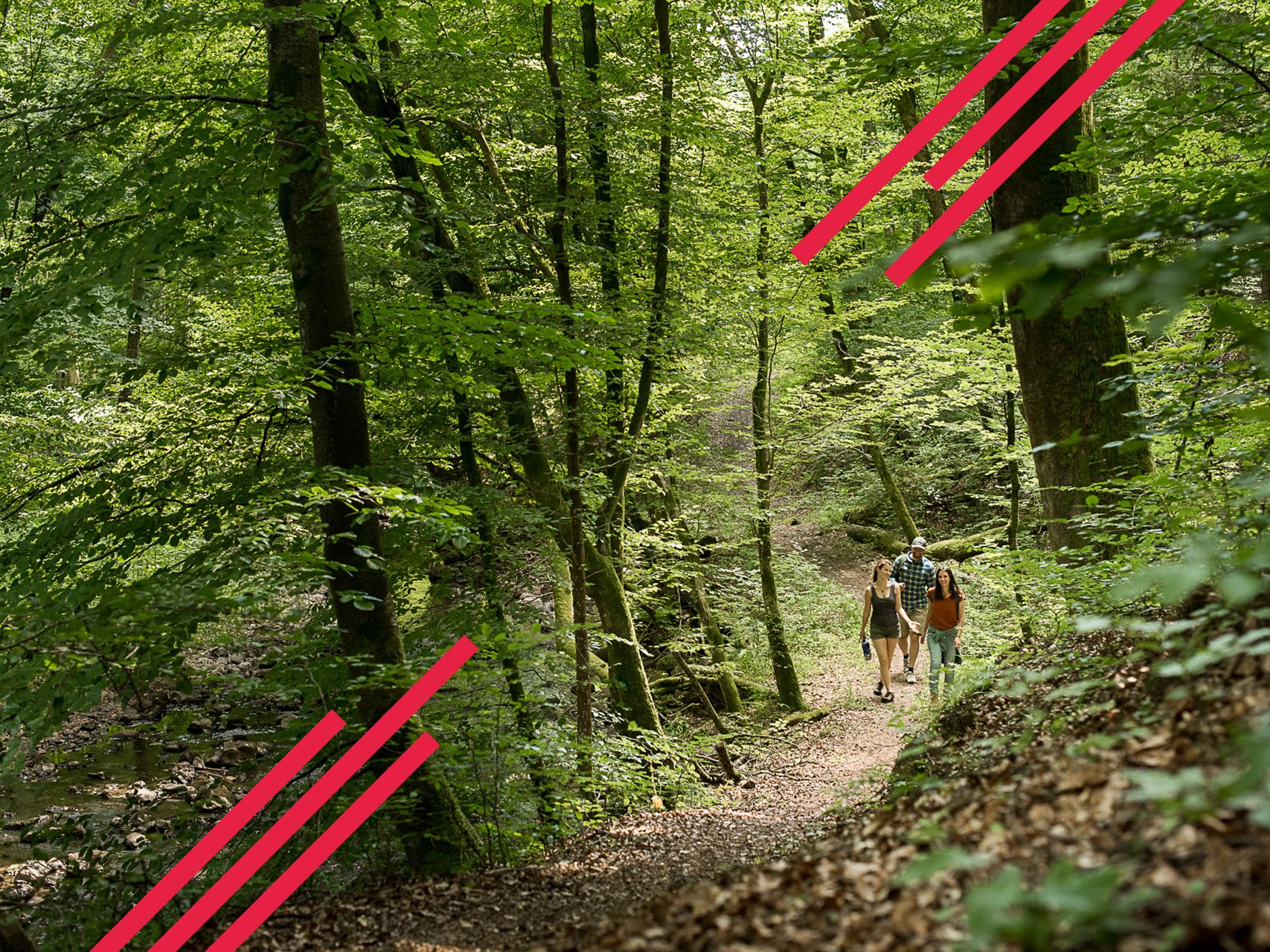
Relaxed hiking in the Spessart – short trails of discovery
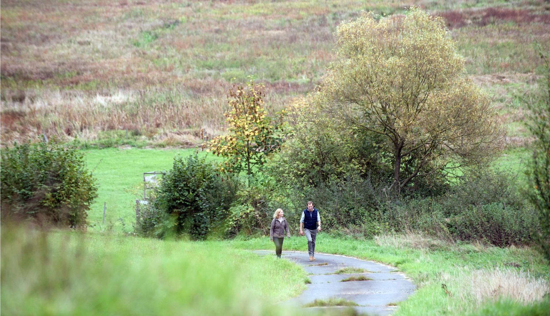
Pleasure hiking in the Spessart: trails that taste as good as they look
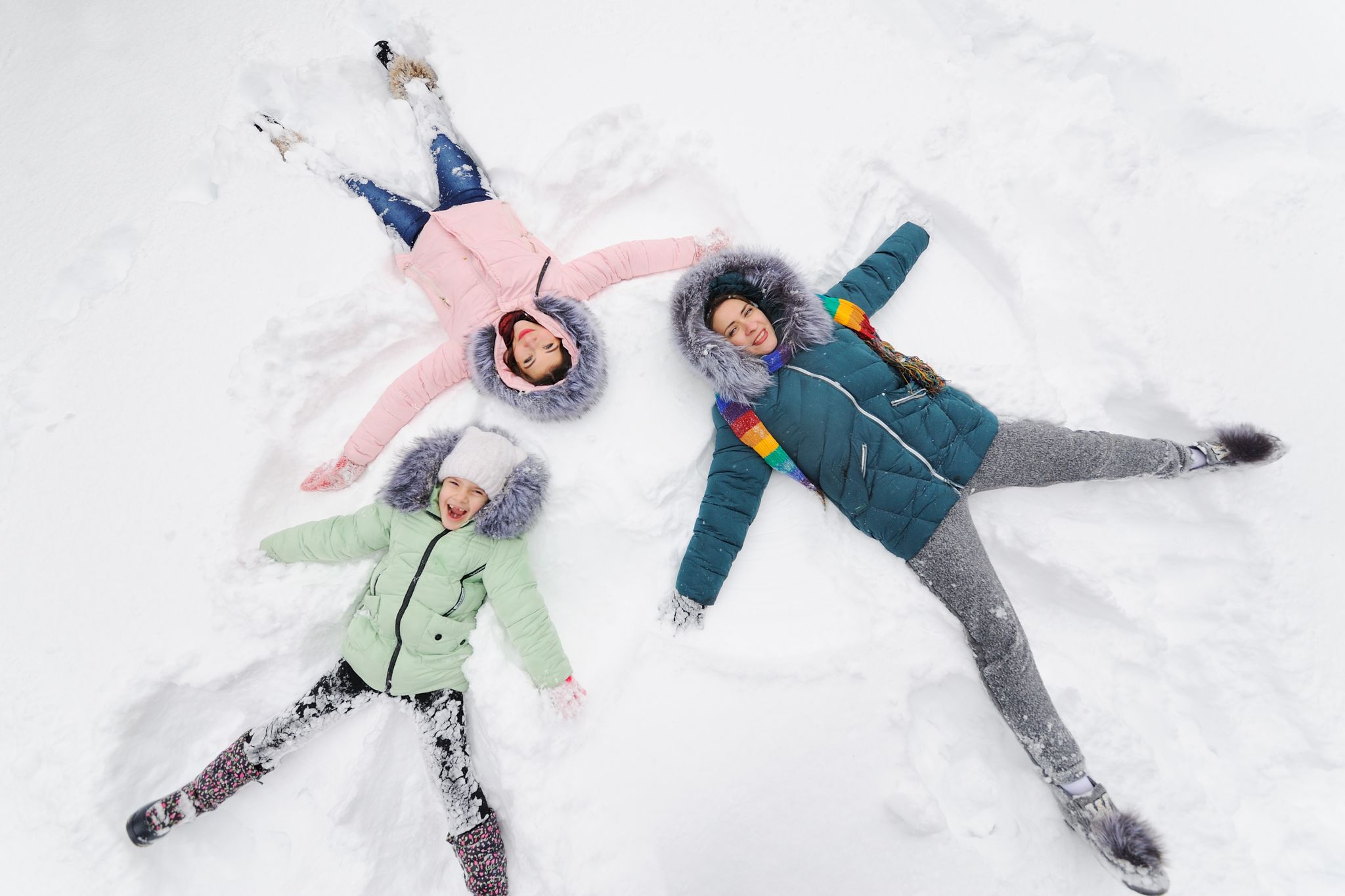
Winter adventures by public transport – hikes for the whole family

Thousands of kilometres of hiking fun – long-distance hiking trails in Bavaria
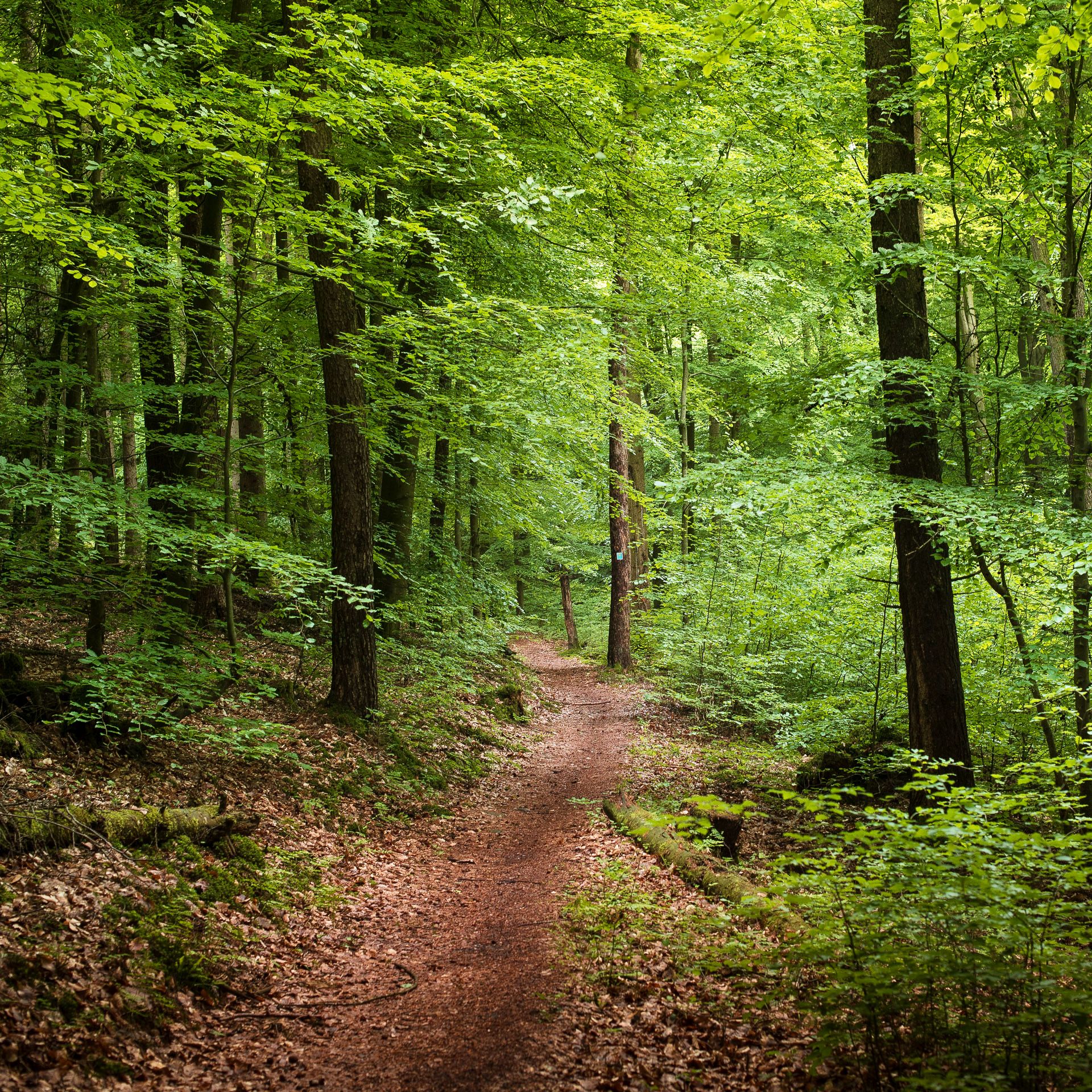
Endless forests, flowing trails – MTB in Germany’s Spessart region
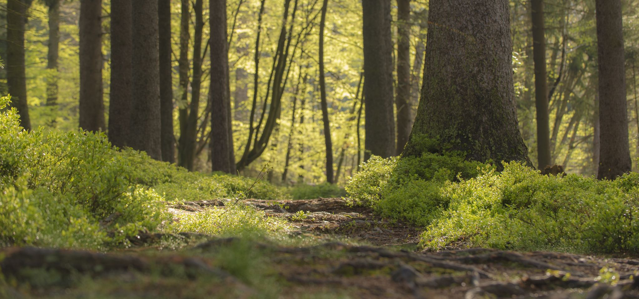
Mountain biking in the Spessart – Awesome trails in Germany
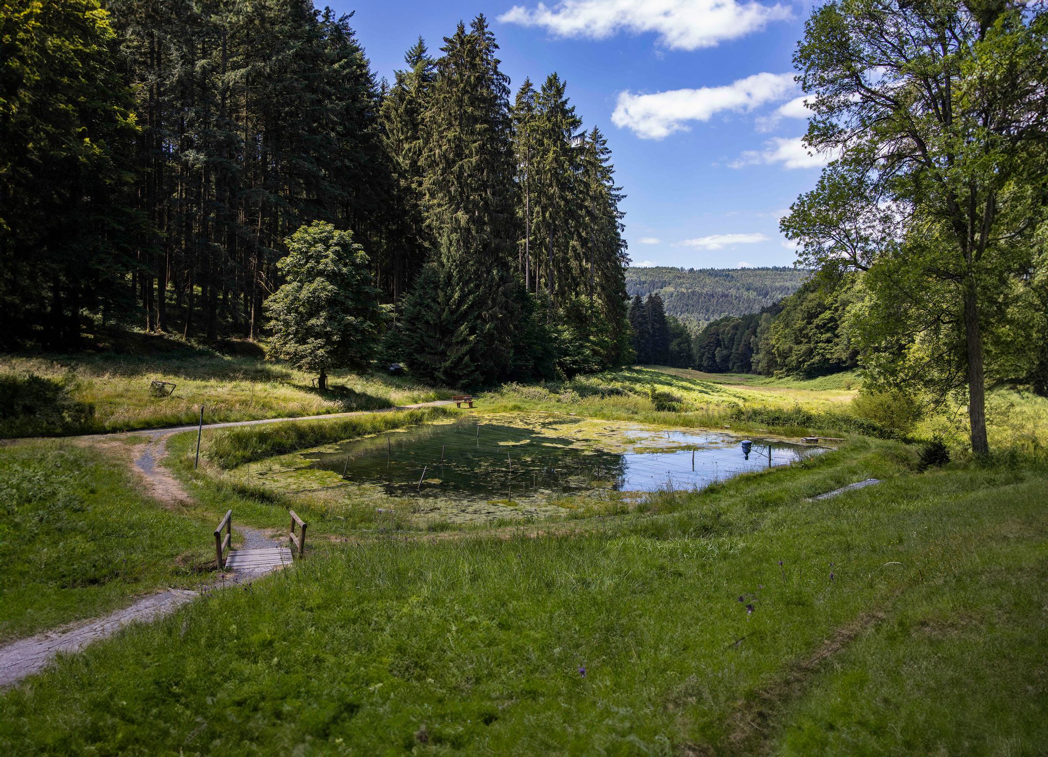
Hike through one of Germany’s greatest forests – Spessart 3
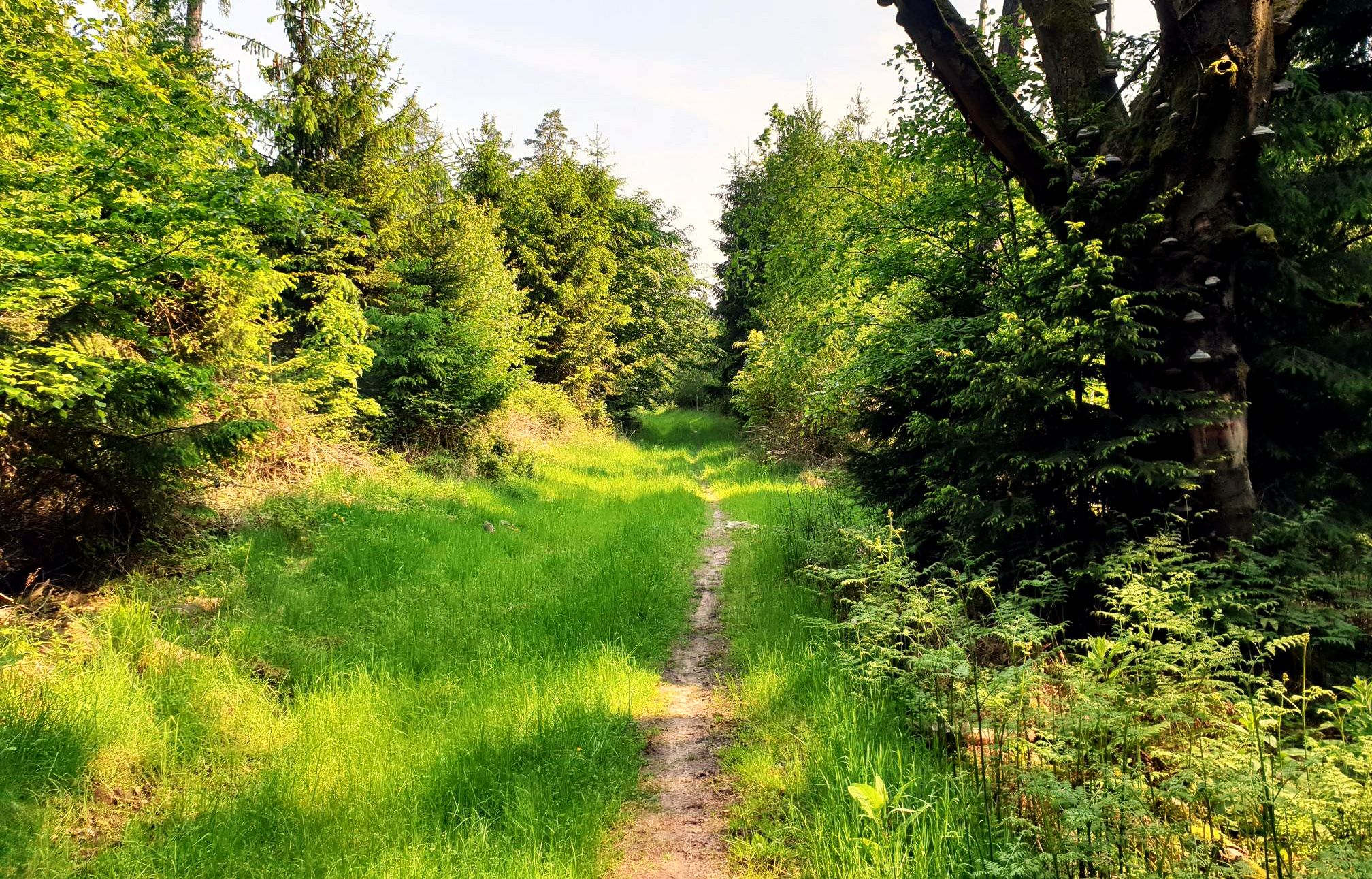
Mountain biking in the Spessart – Awesome trails in Germany

Wandern auf dem Spessartweg 3
Other adventures around Bad Soden-Salmünster


Tips from the Community

Today the bureaucracy is whinnying here… You don’t treat yourself to anything else
12
0
Today the official horse is neighing from the noble building.. here in the area a lot of beautification is happening
13
1

In any case, go up to the rock and enjoy the distant view from Beilstein!🤩 Playful trail.😊 Increasingly overgrown towards the end - "enchanted character"😉
5
1

The good Horst is after all the highest elevation in the northern Spessart. Thanks to a path of forestry work, there is even a view to the east. Otherwise, in addition to two radio towers, there is one thing above all: peace!
5
0

The Beilstein is a mountain in the Spessart, 499.5 m above sea level (NHN). It lies east of the road from Bad Orb to Jossatal, between Villbach and Lettgenbrunn, within the municipality of Jossgrund in the Main-Kinzig district of Hesse. The Beilstein is a basalt cone with the largest basalt cave in the Main-Kinzig district. The formation originated 10 to 20 million years ago through volcanic eruptions; the surrounding Bunter sandstone, which otherwise characterizes the Spessart, is around 200 million years older. The basalt breakthrough was exposed by erosion; the rock faces show the typical basalt columns as well as smaller, spherical formations. On the mountain, first documented in 1059, are the remains of the small, high medieval hilltop castle Beilstein. It was built to protect the possessions of the Archbishopric of Mainz and to control an old road, and was first mentioned in 1343. Furthermore, it was intended to protect the first glassworks that were established. When the lordship passed to the Counts of Hanau, the castle presumably lost its importance and fell into ruin thereafter. Due to the scarce sources, little is known about the castle. Today, the complex consists only of a ring wall about 12 meters long. Source: Wikipedia
6
1

Very nice combo with the golf course trail and Don Bosco, so to speak the traily variant of the WAB towards Don Bosco. Very worthwhile dangling through the Beilstein (former castle) - it's worth walking around - continue on trails to Lettgenbrunn and again trailig from Lettgenbrunn back to the flow trail. You can also drive the other way around, but the circumnavigation is more suitable here. Be sure to climb the Beilstein - not for the view, but rather to get a feel for the facility.
5
0
Status 2023: slowly growing towards the end with blackberries.
6
0

The Horstberg was once an important trigonometric point These points are dying out. They used to be important points of land surveying. They are usually found on prominent mountains. But prominent structures such as church towers can also be trigonometric points. With the advent of satellite technology and GPS, they lost their importance.
5
0
Frequently Asked Questions
What are some of the most popular mountain peaks and viewpoints in the Bad Soden-Salmünster region?
Visitors frequently enjoy the Horst Summit (541 m), which offers quiet natural surroundings and good views, despite being more of a hill. Another favorite is the Wartturm on the Molkenberg, a historical watchtower providing expansive views over Bad Orb and the surrounding area. The Beilstein Trail is also popular for its challenging path, summit, and unusual basalt rock formations.
What kind of terrain can I expect when hiking the mountain peaks around Bad Soden-Salmünster?
The region, situated on the edge of the Spessart low mountain range, is characterized by dense forests and rolling hills. While some peaks like Horst Summit are more gentle, trails like the Beilstein Trail can be quite steep and challenging, featuring unique basalt rock formations.
Are there any historical sites or landmarks to discover while exploring the peaks?
Yes, the region offers several historical points of interest. You can visit the Wartturm on the Molkenberg, a historical watchtower with great views. Wächtersbach Castle, now housing the town hall, is another notable historical site. The Beilstein Trail also features historical elements alongside its natural beauty.
What is the best time of year to visit the mountain peaks in Bad Soden-Salmünster?
The best seasons for hiking and experiencing the peaks are typically spring, when nature comes alive with lush greenery, and autumn, which offers a stunning backdrop of colorful foliage. These seasons provide pleasant temperatures for outdoor activities.
Are there family-friendly options for exploring the mountain peaks in the area?
Yes, several highlights are suitable for families. The Wartturm on the Molkenberg and Horst Summit are considered family-friendly. Additionally, the Vier Fichten Crossroads and Wild Boar Sculpture offers a nice resting place in the Büdingen forest that families can enjoy.
What outdoor activities can I do near the mountain peaks of Bad Soden-Salmünster?
Beyond hiking, the area offers various outdoor activities. You can explore numerous cycling routes, including options for gravel biking. For example, there are routes like the Kinzig Reservoir loop or the Hasel Pond loop. Running trails are also available, such as the Kinzig Dam Outlet loop. You can find more details on these activities in the Gravel biking around Bad Soden-Salmünster, Cycling around Bad Soden-Salmünster, and Running Trails around Bad Soden-Salmünster guides.
What natural features can I expect to see around the mountain peaks?
The region is rich in natural beauty, characterized by dense forests and rolling hills. You'll encounter scenic views from various summits and viewpoints, such as the breathtaking vistas from Hohe Wurf. The area is also enhanced by rivers and lakes, contributing to a picturesque landscape.
Are there any challenging hikes for experienced trekkers in the Bad Soden-Salmünster area?
Yes, for those seeking a challenge, the Beilstein Trail is known for being a challenging and partly very steep path. It offers a worthwhile detour for experienced hikers looking for a scenic and demanding route with unusual basalt rock formations.
What do visitors enjoy most about the mountain peaks and trails in Bad Soden-Salmünster?
Visitors particularly appreciate the expansive views from spots like the Wartturm on the Molkenberg and the quiet natural surroundings of Horst Summit. The unique basalt rock formations and challenging sections of the Beilstein Trail are also highly rated for their distinctiveness.
What is the highest point in Bad Soden-Salmünster?
Frauenstein is recognized as the highest summit within Bad Soden-Salmünster, reaching an elevation of 1,965 feet (approximately 599 meters). Its status as the highest point suggests it offers expansive views of the surrounding Spessart landscape.
Are there places to rest or take a break along the trails?
Yes, many trails and peaks offer convenient resting spots. For instance, the Horst Summit features a wooden bench, inviting you to take a little break. The area around the Wartturm on the Molkenberg also provides space to linger and rest, and the Vier Fichten Crossroads is a nice place for a break, especially in the rain.
Can I find any unique geological features on the mountain peaks?
Yes, the Beilstein Trail is notable for its unusual basalt rock formations, which make for a very worthwhile and scenic detour. This natural monument adds a unique geological interest to the hiking experience.
Most popular routes around Bad Soden-Salmünster
Most popular attractions around Bad Soden-Salmünster

Get inspired with the komoot mobile app


Explore more
See even more amazing summits around Bad Soden-Salmünster with these guides:
