The best MTB trails in San Jerónimo Tecuanipan
4.9
(22)
110
riders
11
rides
Mountain biking in San Jerónimo Tecuanipan offers diverse terrain on the eastern slopes of the Popocatépetl volcano. The region features mountainous landscapes with prominent peaks like Tecajete (2,464 m) and Cerro Xaltepec (2,215 m), providing varied elevations for mountain bike trails. Riders can expect routes that traverse volcanic formations and offer views of Popocatépetl, alongside sections within the Atoyac River basin.
Best mountain bike trails in San Jerónimo Tecuanipan
- The most popular mountain bike trail is Stone House Ascent –…
Last updated: July 1, 2026
4.9
(16)
63
riders
15.4km
01:25
360m
360m
Moderate mountain bike ride. Good fitness required. Advanced riding skills necessary.
8
riders
Hard mountain bike ride. Very good fitness required. Advanced riding skills necessary.

Sign up for free
6
riders
6.07km
00:31
100m
100m
Moderate mountain bike ride. Great for any fitness level. Advanced riding skills necessary.
2
riders
21.6km
01:18
150m
150m
Moderate mountain bike ride. Great for any fitness level. Advanced riding skills necessary.
2
riders
44.1km
02:54
620m
620m
Moderate mountain bike ride. Good fitness required. Suitable for all skill levels.
Get access to more routes and recommendations from other explorers.
Sign up for free
Already have an account?
Our route recommendations are based on thousands of hikes, rides, and runs completed by other people on komoot.
Start today with a free account
Your next adventure awaits.
Login or Signup

Tips from the Community

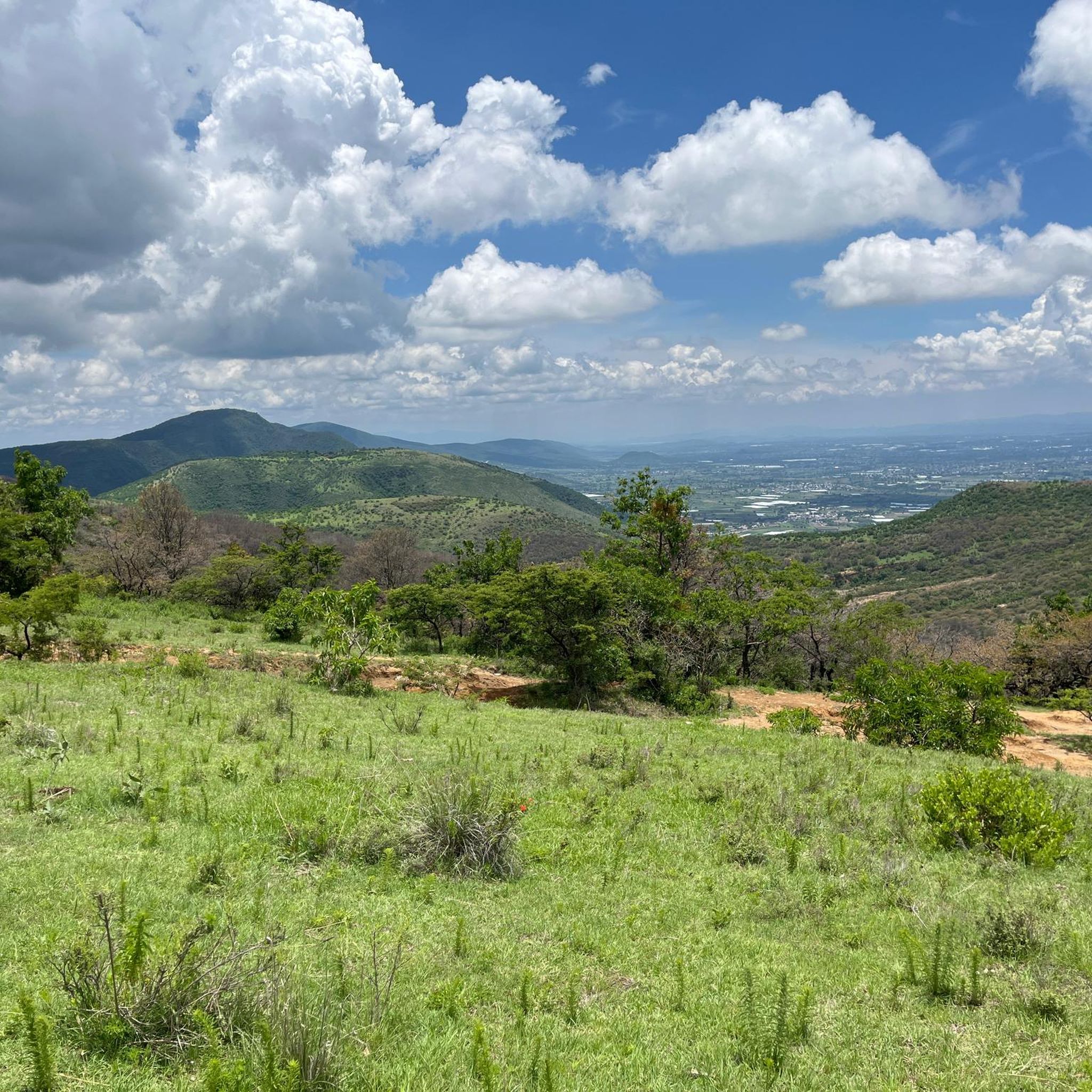
The route is mostly flat, I think it's about 50/50 asphalt and dirt road, but definitely seeing the mountain from afar and then standing right in front of it is the best thing that can happen to you. On this route, you have to be careful with drivers. On Sundays, you'll find a lot of cyclists, and even more on the mountain because it's a popular spot for fellow riders and motocross enthusiasts. Enjoy the place, stay hydrated, and always wear a helmet.
0
0

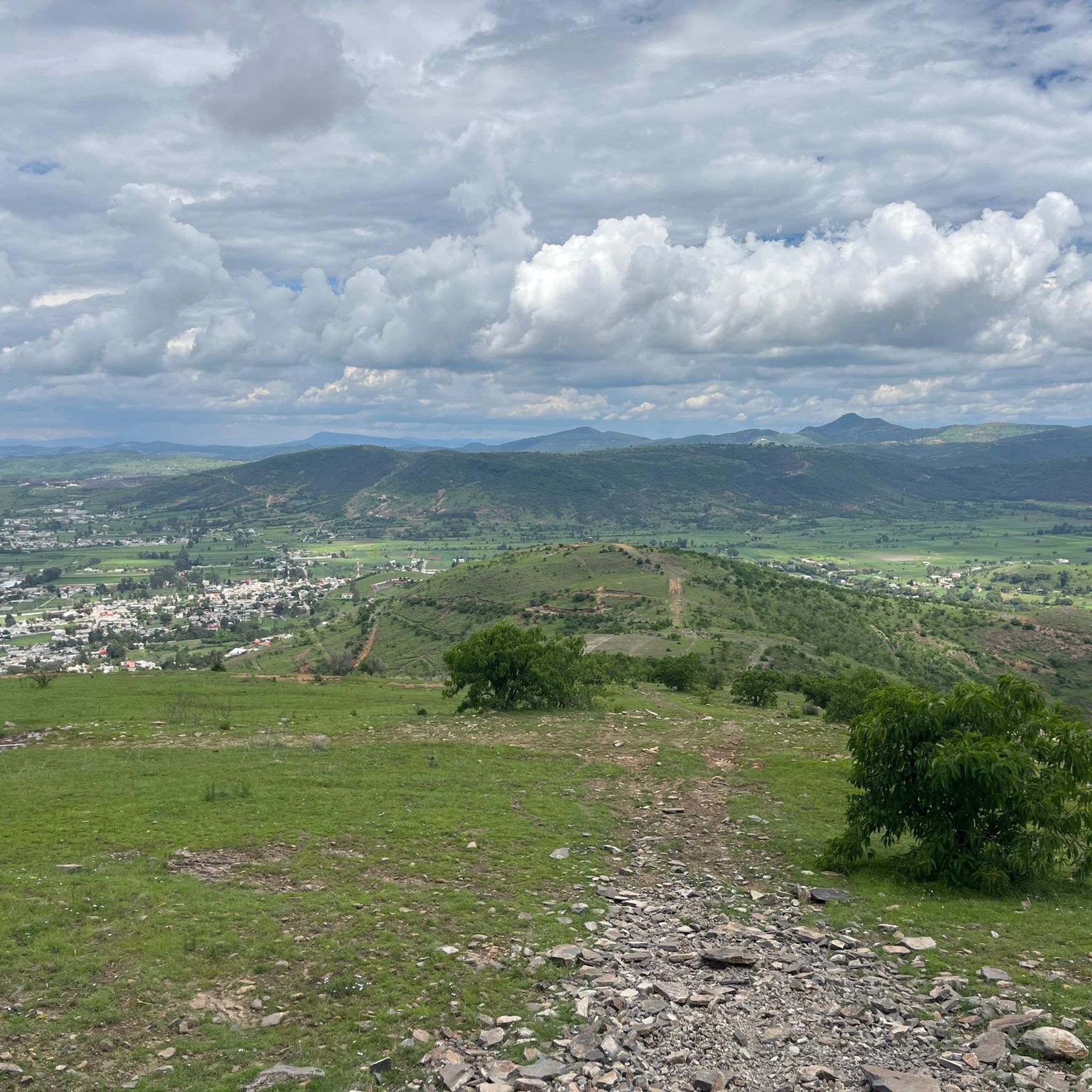
A monument depicting the passage of Spanish conquistador Hernán Cortés into the Valley of Mexico in 1520, mounted on a roundabout that provides access in several directions: Tlamacas (closed since the 1990s), Izta-Popo Refuge, Xalitzintla, Iztaccíhuatl, and San Pedro Nexapa. Its now-classic "Paso de Cortés" sign is a place where you can take a souvenir photo (of the achievement), which is currently obscure due to the countless stickers pasted by people from various cycling, motorcycling, mountaineering, and other clubs. Here, in addition to the beautiful view, you'll also find plenty of food on weekends; during the week, it's difficult to find supplies. The cold is usually very high, so always be prepared for the changes in mountain weather.
3
0

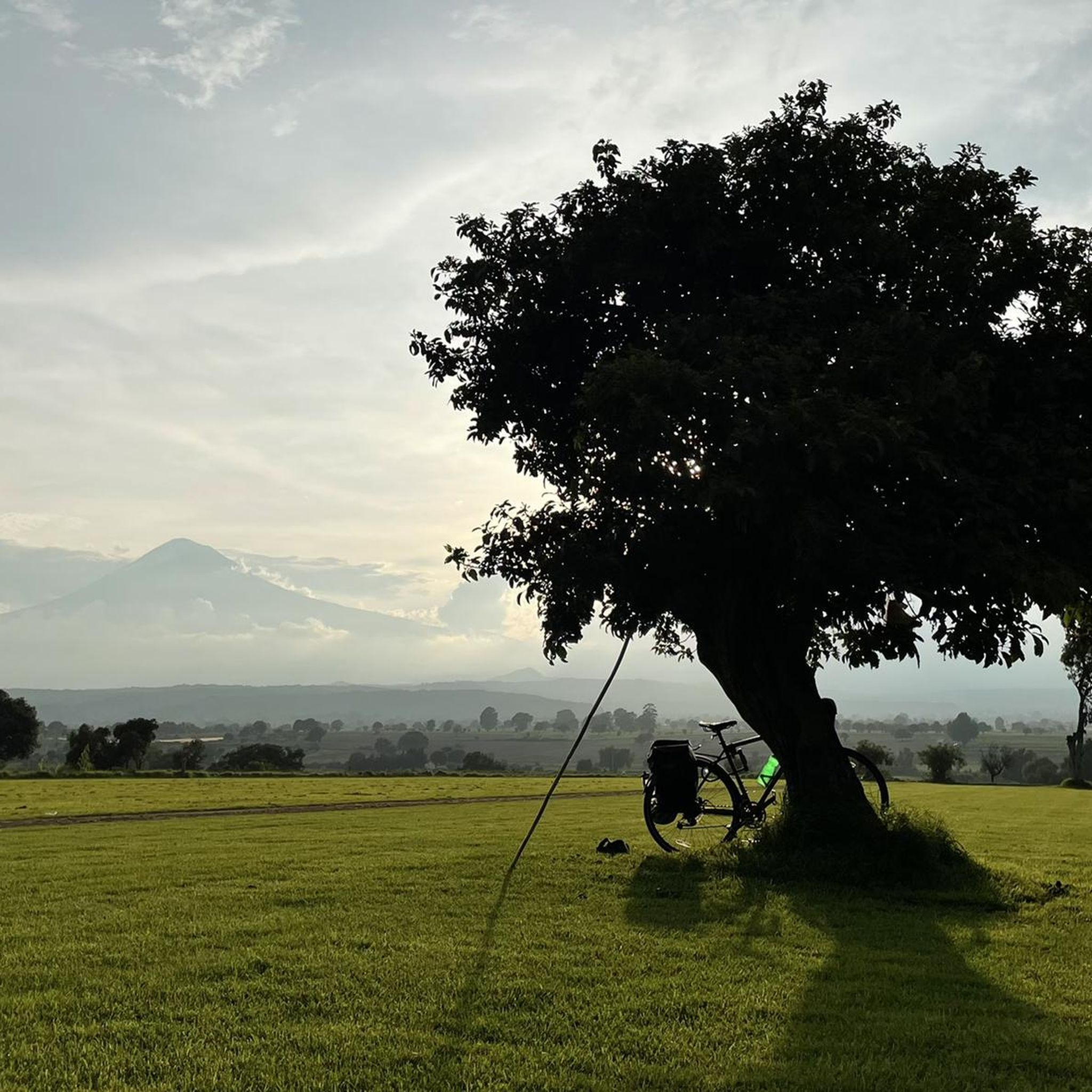
Popular destination for bike tours. We first set out around noon ... I'd rather leave in the morning. There is a drop in temperature at sunset.
1
0
Frequently Asked Questions
How many mountain bike trails are available in San Jerónimo Tecuanipan?
San Jerónimo Tecuanipan offers a selection of 11 mountain bike trails. These routes cater to various skill levels, ranging from easy to difficult, and are highly rated by the komoot community.
What kind of terrain can I expect on mountain bike trails in San Jerónimo Tecuanipan?
The trails in San Jerónimo Tecuanipan traverse diverse terrain on the eastern slopes of the Popocatépetl volcano. You'll encounter mountainous landscapes with prominent peaks, varied elevations, volcanic formations, and sections within the Atoyac River basin. This mix provides both challenging climbs and exhilarating descents.
Are there mountain bike trails suitable for beginners or families in San Jerónimo Tecuanipan?
Yes, San Jerónimo Tecuanipan has 2 easy mountain bike routes, which are generally suitable for beginners or families looking for a less strenuous ride. While specific 'family-friendly' designations aren't always explicit, these easier routes offer a good starting point.
Which mountain bike trails offer views of Popocatépetl volcano?
Many trails in the region provide direct views of the Popocatépetl volcano. Routes like the Stone House Ascent – Zapoteco Rest Point loop from Cholula are known to offer panoramic vistas of this active volcano, adding a dramatic backdrop to your ride.
Are there any long-distance or challenging mountain bike routes in the area?
Absolutely. For experienced riders seeking a significant challenge, the Stone House Ascent – Paso de Cortés Monument loop from Iglesia de Santa Maria Tonanzintla is a difficult 93.6 km (58.2 miles) path with substantial elevation gain through mountainous areas. There are also 8 moderate routes for those looking for a good workout without extreme difficulty.
What is the best time of year for mountain biking in San Jerónimo Tecuanipan?
Given its location on the Popocatépetl slopes, the region experiences varied weather. Generally, the dry season (typically November to April) offers more stable conditions for mountain biking, with less rain and clearer skies for volcano views. However, always check local weather forecasts before heading out.
Are there mountain bike trails that form a loop?
Yes, many of the mountain bike trails in San Jerónimo Tecuanipan are designed as loops, allowing you to start and finish at the same point. Examples include the Stone House Ascent loop from Cholula and the Mountainbike loop from San Luis Tehuiloyocan.
Can I bring my dog on the mountain bike trails in San Jerónimo Tecuanipan?
While many natural areas in Mexico are generally dog-friendly, it's always best to check specific trail regulations or local signage. If dogs are permitted, ensure they are well-behaved, kept on a leash, and that you clean up after them to preserve the natural environment for all users.
What do other mountain bikers say about the trails in San Jerónimo Tecuanipan?
The mountain bike routes in San Jerónimo Tecuanipan are highly rated by the komoot community, with an average score of 4.6 stars from nearly 20 reviews. Riders often praise the varied terrain, the unique volcanic landscapes, and the impressive views of Popocatépetl.
Are there any specific points of interest or unique natural features along the trails?
Beyond the stunning views of Popocatépetl, some trails wind through unique flora, such as prickly pear cactus plantations. The region's volcanic nature also means you'll encounter interesting geological formations. While specific highlights aren't detailed for every route, the natural environment itself is a major draw.
Where can I find parking for mountain biking routes in San Jerónimo Tecuanipan?
Parking availability can vary by trailhead. For routes starting from towns like Cholula or San Luis Tehuiloyocan, you may find public parking areas. It's advisable to check the starting point of your chosen route on komoot for specific parking suggestions or look for designated parking in nearby villages.
Most popular routes in San Jerónimo Tecuanipan

Get inspired with the komoot mobile app


Explore more
Browse the best MTB trails in other regions.
