The best running trails in San Jerónimo Tecuanipan
4.8
(14)
255
runners
16
runs
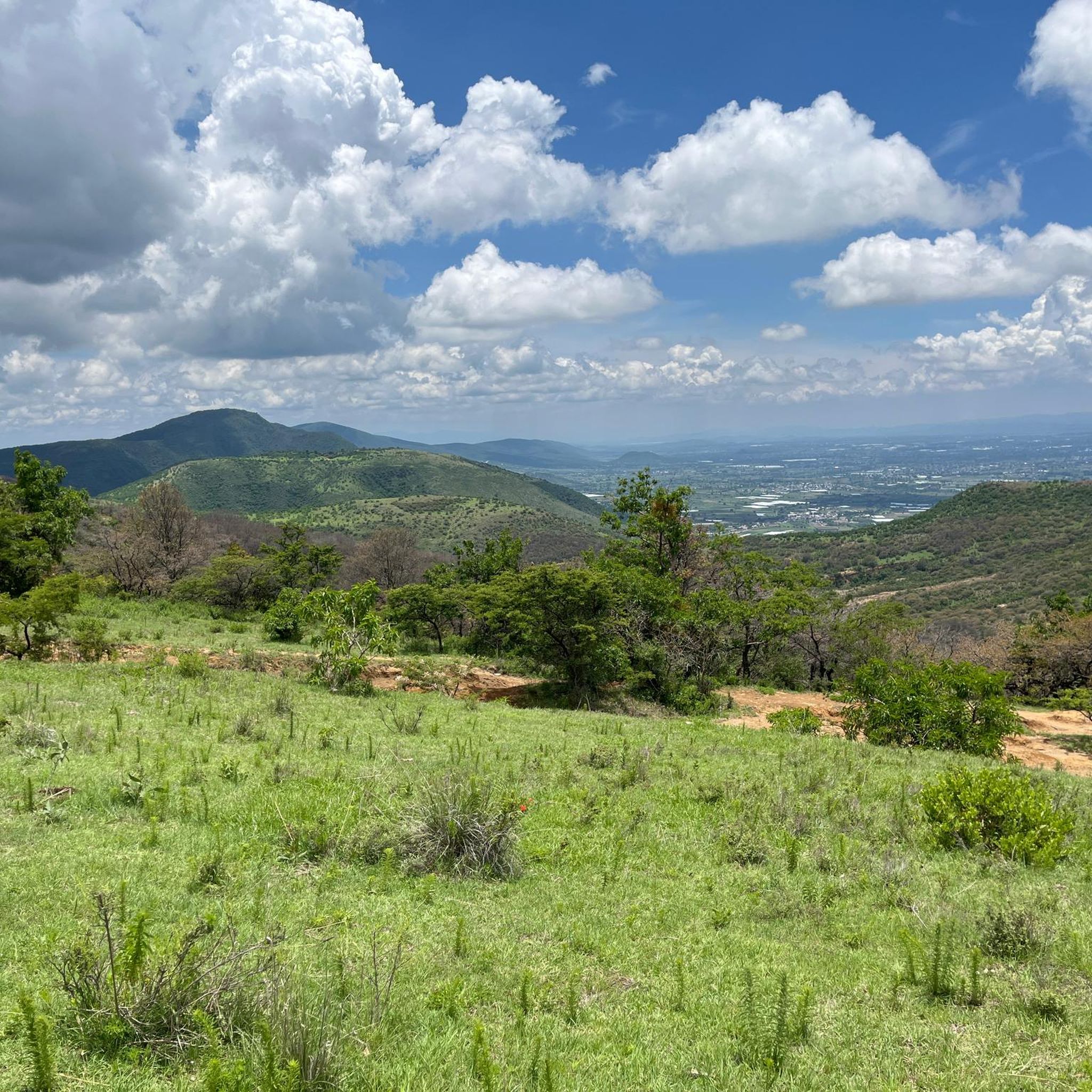
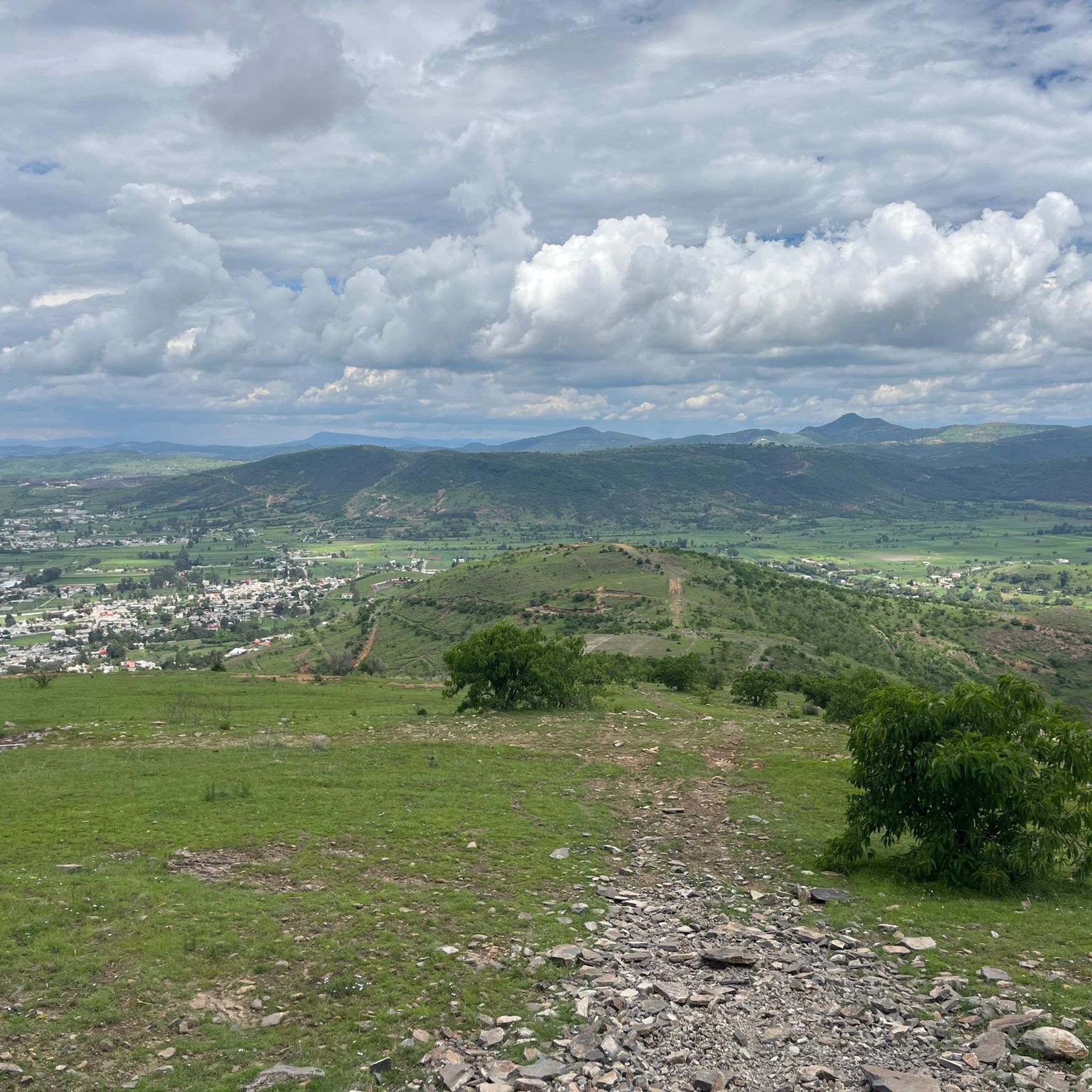
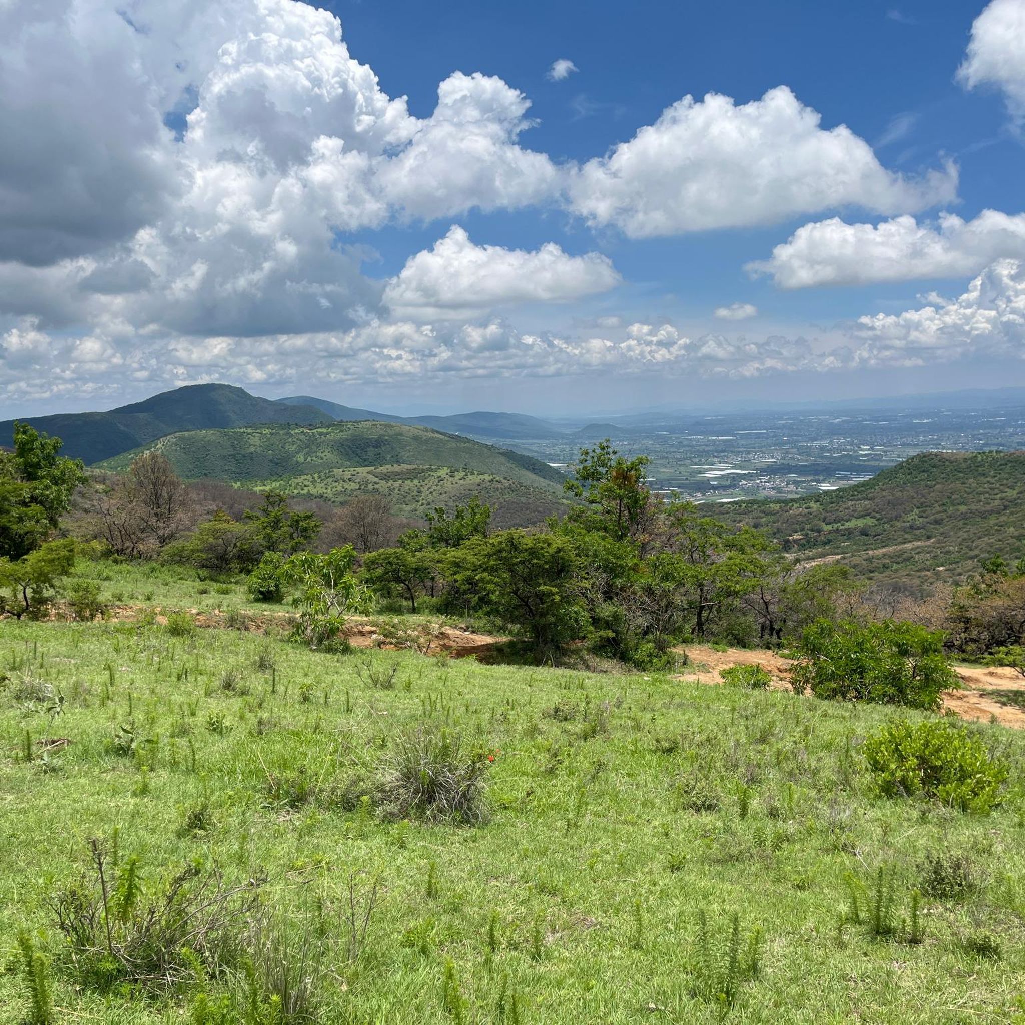
Jogging in San Jerónimo Tecuanipan offers a variety of routes that traverse both urban edges and natural reserves. The region features a mix of relatively flat paths and routes with moderate elevation changes, providing diverse running experiences. Many running routes in San Jerónimo Tecuanipan pass through areas near significant historical sites and local communities, offering a blend of cultural and natural scenery. The landscape includes open areas and paths that may lead through or near local green spaces.
Best jogging…
Last updated: July 8, 2026
4.0
(9)
52
runners
16.1km
01:56
340m
340m
Hard run. Very good fitness required. Mostly paved surfaces. Suitable for all skill levels.
59
runners
19.9km
02:04
110m
110m
Hard run. Very good fitness required. Mostly paved surfaces. Suitable for all skill levels.

Sign up for free
5.0
(3)
41
runners
34.3km
03:35
160m
160m
Hard run. Very good fitness required. Mostly paved surfaces. Suitable for all skill levels.
22
runners
4.71km
00:30
40m
40m
Easy run. Great for any fitness level. Mostly paved surfaces. Suitable for all skill levels.
13
runners
11.8km
01:30
300m
300m
Hard run. Very good fitness required. Mostly paved surfaces. Suitable for all skill levels.
5.0
(1)
10
runners
35.1km
03:40
230m
230m
Hard run. Very good fitness required. Mostly paved surfaces. Suitable for all skill levels.
5
runners
6.11km
00:48
170m
170m
Moderate run. Good fitness required. Mostly paved surfaces. Suitable for all skill levels.
4
runners
4.33km
00:27
10m
10m
Easy run. Great for any fitness level. Mostly paved surfaces. Suitable for all skill levels.
3
runners
8.96km
00:55
30m
30m
Moderate run. Good fitness required. Mostly paved surfaces. Suitable for all skill levels.
5.0
(1)
4
runners
9.87km
01:01
30m
30m
Moderate run. Good fitness required. Mostly paved surfaces. Suitable for all skill levels.
Get access to more routes and recommendations from other explorers.
Sign up for free
Already have an account?
Our route recommendations are based on thousands of hikes, rides, and runs completed by other people on komoot.
Start today with a free account
Your next adventure awaits.
Login or Signup
Popular around San Jerónimo Tecuanipan
Tips from the Community

This city park was inaugurated in 1840 as Paseo Nuevo. In 1870 it was renamed Paseo Bravo in honor of the rebel general Miguel Bravo, who was executed in this square in 1814.
1
0

Frequently Asked Questions
How many running routes are available in San Jerónimo Tecuanipan?
There are over 15 dedicated running routes in San Jerónimo Tecuanipan, offering a diverse range of experiences for all fitness levels. These routes are highly rated by the komoot community, with an average score of 4.7 stars.
Are there easy jogging routes suitable for beginners?
Yes, San Jerónimo Tecuanipan offers several easy jogging routes perfect for beginners. One such route is the Cholula Archaeological Zone loop from Great Pyramid of Cholula, which is 3.1 miles (5.0 km) long and takes about 32 minutes to complete, offering a moderate difficulty level suitable for those starting out.
Where can I find challenging running trails for experienced runners?
For experienced runners seeking a challenge, San Jerónimo Tecuanipan has several difficult routes. The Cholula Archaeological Zone loop from Cholula is a demanding 12.3 miles (19.9 km) trail, and the Direct Drop-Off loop from San Pedro Cholula is another difficult 10.0 miles (16.1 km) path featuring notable elevation changes.
Are there any long-distance running routes in the area?
Absolutely. If you're looking for longer distances, consider the Running loop from Cholula, which spans 34.3 km (21.3 miles), or the San Juan loop from Cholula, covering 33.8 km (21.0 miles). These routes are ideal for endurance training.
What do other runners enjoy most about jogging in San Jerónimo Tecuanipan?
The komoot community highly rates the running experiences here, with an average score of 4.7 stars from over 13 reviews. Runners frequently praise the unique blend of cultural and natural scenery, especially routes that pass through or near the significant archaeological zones and local green spaces.
Are there scenic running routes with historical landmarks?
Many routes offer scenic views and pass by historical landmarks. The Cholula Archaeological Zone loop from Great Pyramid of Cholula is a prime example, taking you through the vicinity of the Great Pyramid, offering both exercise and a glimpse into the region's rich history.
Are there circular running routes available?
Yes, many of the running routes in San Jerónimo Tecuanipan are designed as loops, allowing you to start and finish in the same location. Examples include the Running loop from Chipilo de Francisco Javier Mina (Chipilo) and the Running loop from Reserva Estatal Cerro Zapotecas.
Are the jogging trails in San Jerónimo Tecuanipan suitable for families?
While specific 'family-friendly' designations aren't always explicit, routes with lower difficulty and shorter distances, such as the Running loop from Great Pyramid of Cholula (8.9 km, moderate), can be suitable for families who enjoy active outings together. Always check the route details for elevation and terrain to ensure it matches your family's capabilities.
What about parking near the jogging routes?
Many popular starting points for running routes, especially those near urban centers like Cholula or archaeological sites, often have designated parking areas. It's advisable to check local signage or use navigation apps for specific parking information when planning your run.
Is public transport available to reach running trails?
San Jerónimo Tecuanipan and its surrounding areas are generally accessible by local public transport, particularly near Cholula. Buses and colectivos (shared taxis) can often get you close to the starting points of many trails. We recommend checking local transport schedules and routes for the most up-to-date information.
Are there dog-friendly jogging trails in San Jerónimo Tecuanipan?
Many outdoor trails in the region are generally dog-friendly, especially those in more natural or open areas. However, it's always best to keep your dog on a leash and be mindful of local regulations, particularly around archaeological zones or protected natural reserves. Please ensure you clean up after your pet.
When is the best time of year to go running in San Jerónimo Tecuanipan?
The region generally experiences a temperate climate. The dry season, from November to April, typically offers pleasant weather for running with less humidity and clear skies. During the rainy season (May to October), mornings can still be good for running before afternoon showers.
Most popular routes in San Jerónimo Tecuanipan

Get inspired with the komoot mobile app


Explore more
Browse the best Running Trails & Routes in other regions.
