The best walks and hikes around Groß Teetzleben
4.5
(816)
4,846
hikers
389
hikes
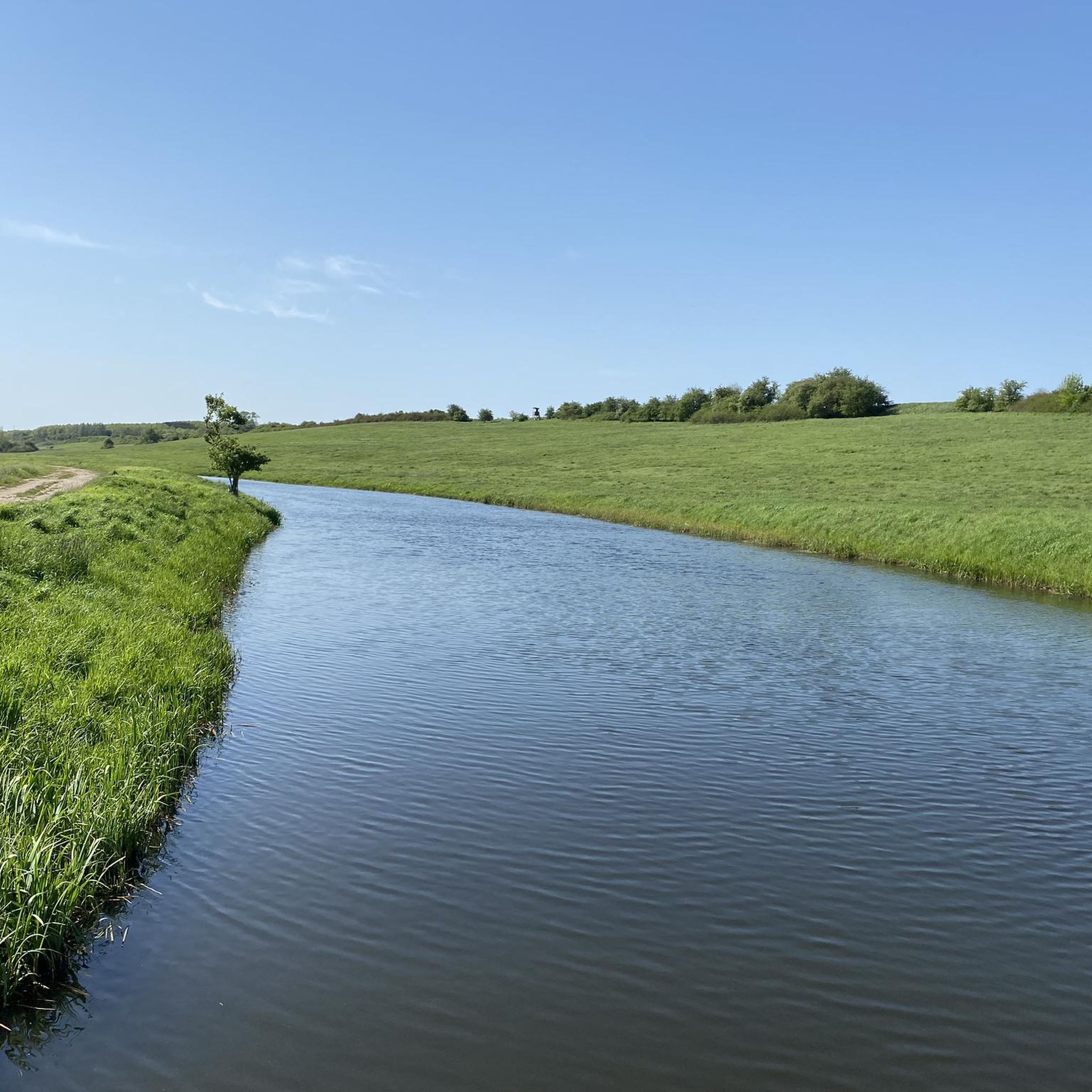
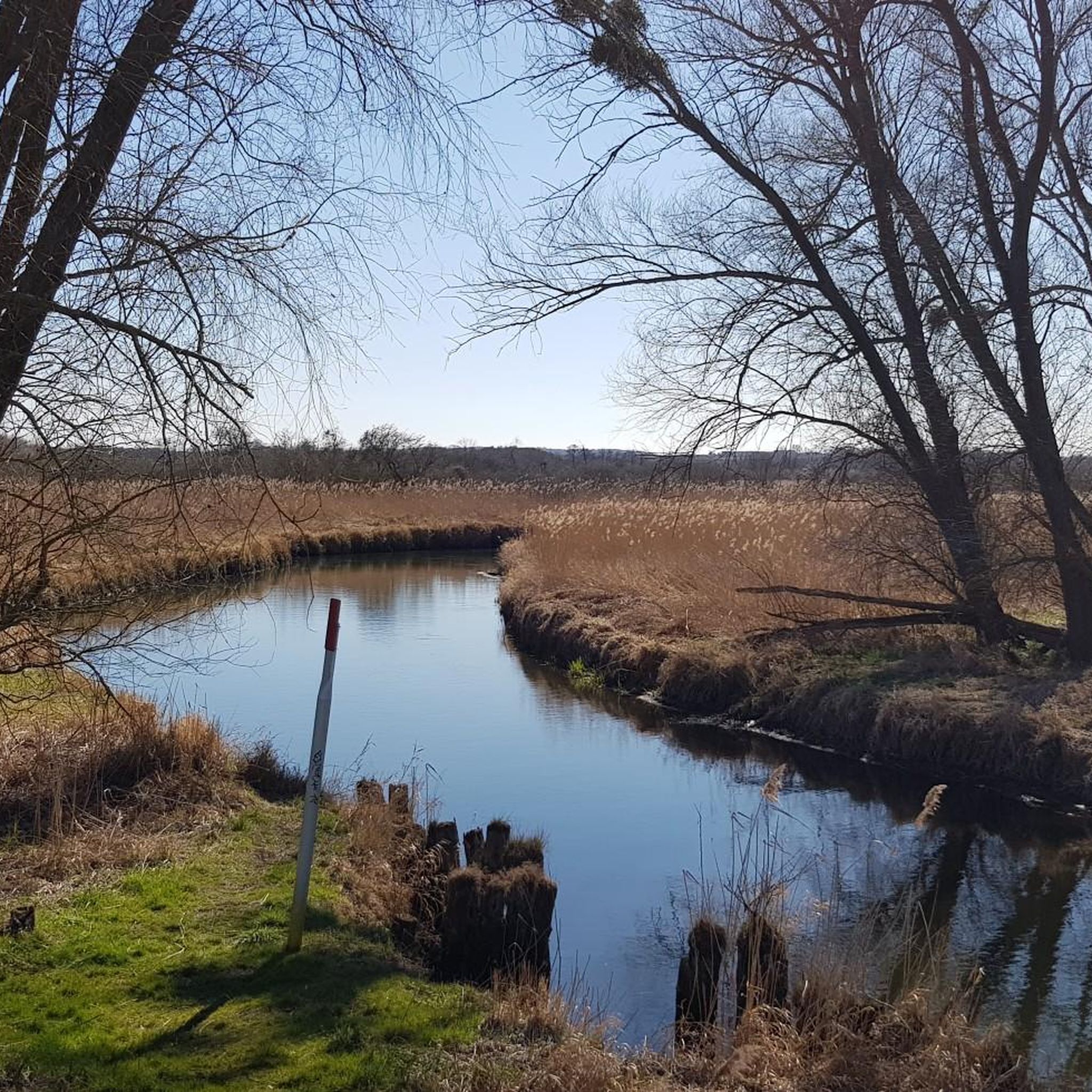
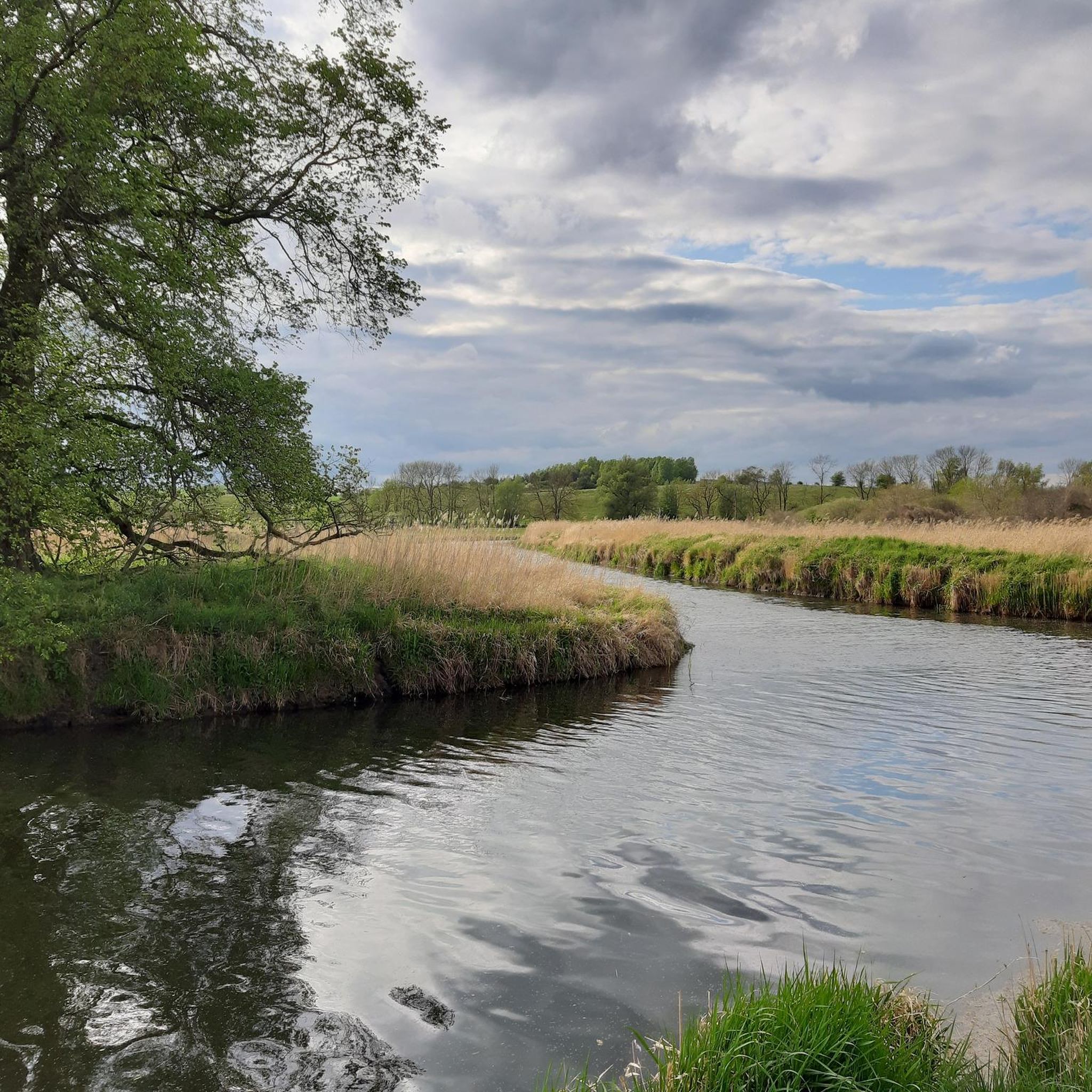
Hiking around Groß Teetzleben offers diverse landscapes within the picturesque Tollense Valley and the broader Mecklenburg Lake District. The region features a mix of marshy meadows, low hills, and dense forests, shaped by ice-age ground moraines. Hikers can explore varied terrain, from gentle riverine paths along the meandering Tollense River to trails through extensive lake landscapes. This geological history provides a topography suitable for various hiking experiences.
Best hiking trails around Groß Teetzleben
- The most popular hiking route is Reitbahnsee…
Last updated: July 8, 2026
4.3
(9)
37
hikers
12.3km
03:07
30m
30m
Moderate hike. Good fitness required. Easily-accessible paths. Suitable for all skill levels.
4.6
(7)
17
hikers
7.15km
01:51
40m
40m
Easy hike. Great for any fitness level. Easily-accessible paths. Suitable for all skill levels.

Sign up for free
4.7
(3)
9
hikers
Easy hike. Great for any fitness level. Easily-accessible paths. Suitable for all skill levels.
5.0
(3)
12
hikers
3.79km
00:58
10m
10m
Easy hike. Great for any fitness level. Easily-accessible paths. Suitable for all skill levels.
5.0
(2)
9
hikers
3.18km
00:49
10m
10m
Easy hike. Great for any fitness level. Easily-accessible paths. Suitable for all skill levels.
Get access to more routes and recommendations from other explorers.
Sign up for free
Already have an account?
Our route recommendations are based on thousands of hikes, rides, and runs completed by other people on komoot.
Start today with a free account
Your next adventure awaits.
Login or Signup

Tips from the Community

Attention! Although this cycle path is new, the 5 barriers along the way are also new; in fact, the cycle path is not barrier-free!
0
0


In preparation for the construction of the Trollenhagen airfield, the baroque tower cap was rebuilt from 1937 to 1940 on the orders of the Reich Aviation Ministry to give it its current appearance with a gable roof. Cultural events also take place in the village church, particularly during community festivals.
0
0

Very good bike path on the route
0
0

At first I was a little hesitant to hike the mountain. No wonder, since it bears the ominous name Mörderberg ... After the arduous ascent, I had a wonderful view of the city of Neubrandenburg. Unfortunately, I couldn't enjoy the view for long because I still had the word MÖRDERBERG in my head. So do not try your luck for long and get away from this place quickly. Now in retrospect, I'm really glad I didn't meet the murderer .... Phew, pig!
2
0

Also very nice in winter
1
0

No murderers were hanged here! The route from Neubrandenburg to Altentreptow has been passing here since ancient times. The crossing over the Malliner water was guarded from up here. And one of several mills on Malliner Water was down there too.
2
0
Frequently Asked Questions
How many hiking trails are available around Groß Teetzleben?
There are over 400 hiking routes available in and around Groß Teetzleben, catering to various preferences and fitness levels. These trails allow you to explore the diverse landscapes of the Tollense Valley and the Mecklenburg Lake District.
What kind of terrain can I expect on hikes in Groß Teetzleben?
The terrain around Groß Teetzleben is shaped by ice-age ground moraines, offering a mix of marshy meadows, gentle low hills, and dense forests. You'll find varied landscapes from open countryside to immersive woodland treks, with paths along the meandering Tollense River. The topography is generally gentle, making it suitable for relaxed hiking without significant ascents.
Are there easy hiking options suitable for beginners or casual walkers?
Yes, Groß Teetzleben offers many easy hiking options. Out of over 400 routes, 248 are classified as easy. An example is the Village Church Trollenhagen loop from Trollenhagen, an easy 7.1 km path exploring the gentle countryside.
Can I find circular hiking routes in the Groß Teetzleben area?
Yes, many of the hiking routes in Groß Teetzleben are circular, allowing you to start and end at the same point. A popular example is the Reitbahnsee – Reitbahnsee Water Ski Facility loop from Woggersin, which is 12.3 km long and circles the Reitbahnsee.
Are the hiking trails around Groß Teetzleben suitable for families with children?
The gentle topography and diverse natural settings make many trails around Groß Teetzleben suitable for families. The region's mix of forests, meadows, and lakes offers engaging environments for children to explore nature. Look for routes classified as 'easy' for the most family-friendly options.
Are dogs allowed on the hiking trails in Groß Teetzleben?
Generally, dogs are welcome on hiking trails in the Groß Teetzleben area, especially in the natural landscapes of the Tollense Valley and surrounding forests. However, it's always advisable to keep dogs on a leash, particularly in nature protection areas or near wildlife, and to respect local signage.
What natural features or landmarks can I see while hiking near Groß Teetzleben?
While hiking, you can explore various natural and historical landmarks. The Slavic hillfort at Kastorfer Lake and the Rillenstein (Neolithic Grooved Boulder) offer glimpses into the region's past. You can also visit natural monuments like the Großer Stein (Großquartzow) or the Suhl Spring. The nearby Lake Tollense is a major natural highlight.
Where can I park my car when hiking in Groß Teetzleben?
While specific parking areas for every trail are not detailed, many trailheads in the region, especially near villages like Woggersin or Trollenhagen, offer designated parking. It's recommended to check the starting point of your chosen route on komoot for specific parking information.
How can I reach the hiking trails around Groß Teetzleben using public transport?
Access to hiking trails in Groß Teetzleben via public transport might be limited, as it is a smaller rural area. However, regional bus services connect Groß Teetzleben to larger towns like Neubrandenburg, from where you might find connections closer to specific trailheads. Planning your route in advance with local public transport schedules is recommended.
What is the best time of year to go hiking in Groß Teetzleben?
The best time to hike in Groß Teetzleben is generally from spring to autumn. During these seasons, the weather is pleasant, and the diverse ecosystems of the Mecklenburg Lake District are vibrant with flora and fauna. Spring brings blooming landscapes, while autumn offers beautiful foliage. Summer is also popular, though it can be warmer.
What do other hikers say about their experiences in Groß Teetzleben?
The hiking experiences in Groß Teetzleben are highly regarded by the komoot community, with an average score of 4.5 stars from over 700 reviews. Hikers often praise the quiet woodlands, the scenic paths along the Tollense River, and the well-maintained trails that showcase the region's natural beauty.
Are there any challenging or advanced hiking routes in the area?
While the region is known for its gentle topography, there are some routes that offer a more challenging experience. Out of over 400 routes, 20 are classified as difficult. These might involve longer distances or slightly more varied terrain, though significant ascents are rare due to the ice-age shaped landscape.
Are there places to eat or stay overnight near the hiking trails?
Groß Teetzleben itself is a small village, but the broader region offers options. Nearby towns and villages, especially those closer to the Tollensesee or Neubrandenburg, will have cafes, restaurants, and accommodation. The presence of a riding stable in Groß Teetzleben suggests local amenities, but for a wider selection, exploring options in the surrounding area is advisable.
Most popular attractions around Groß Teetzleben

Get inspired with the komoot mobile app


Explore more
Browse the best Hikes in other regions.
