The best MTB trails around Buchenberg
4.5
(292)
1,347
riders
74
rides
Mountain bike trails around Buchenberg are set within the pre-Alpine hilly and moorland landscape of Upper Allgäu, at an elevation of approximately 1,000 meters above sea level. The region features diverse terrain, including dense forests, lush alpine meadows, and picturesque villages. Riders can expect a mix of gentle hills, challenging climbs, and exhilarating descents, with routes often leading past natural features like the Eschacher Weiher.
Best mountain bike trails around Buchenberg
- The most popular mountain bike trail is Kreuzleshöhe and…
Last updated: October 1, 2026
4.3
(24)
80
riders
21.3km
01:52
360m
360m
Moderate mountain bike ride. Good fitness required. Advanced riding skills necessary.
4.6
(95)
290
riders
31.7km
02:59
720m
720m
Hard mountain bike ride. Good fitness required. Advanced riding skills necessary. Some portions of the route may require you to push your bike.

4.5
(27)
86
riders
34.8km
02:46
530m
530m
Moderate mountain bike ride. Good fitness required. Advanced riding skills necessary.
4.5
(11)
50
riders
Moderate mountain bike ride. Good fitness required. Suitable for all skill levels.
4.9
(7)
48
riders
Hard mountain bike ride. Good fitness required. Advanced riding skills necessary. Some portions of the route may require you to push your bike.
Get access to more routes and recommendations from other explorers.
Already have an account?
Our route recommendations are based on thousands of hikes, rides, and runs completed by other people on komoot.
Start today with a free account
Your next adventure awaits.
Popular around Buchenberg
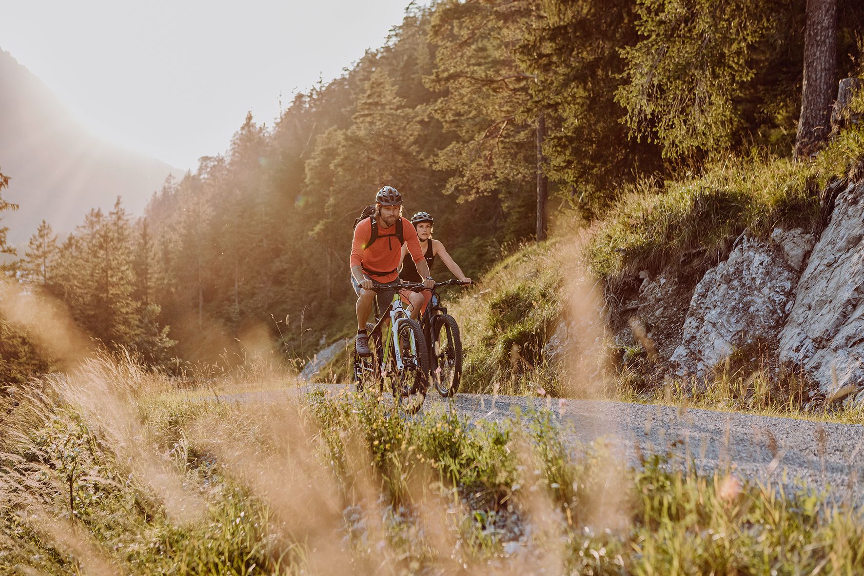
Alpine panorama and mountain huts – nature biking in Germany’s Allgäu

The Best of Allgäu – Tour around Oberallgäu
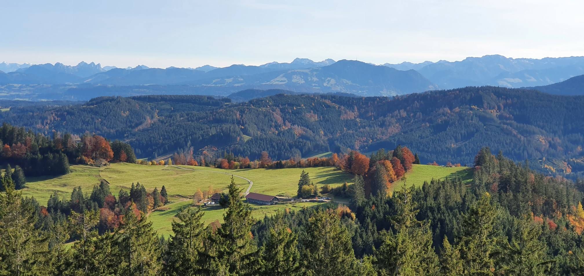
Alpine foothills on the Meadow Walkers’ Route – Allgäu hiking trilogy
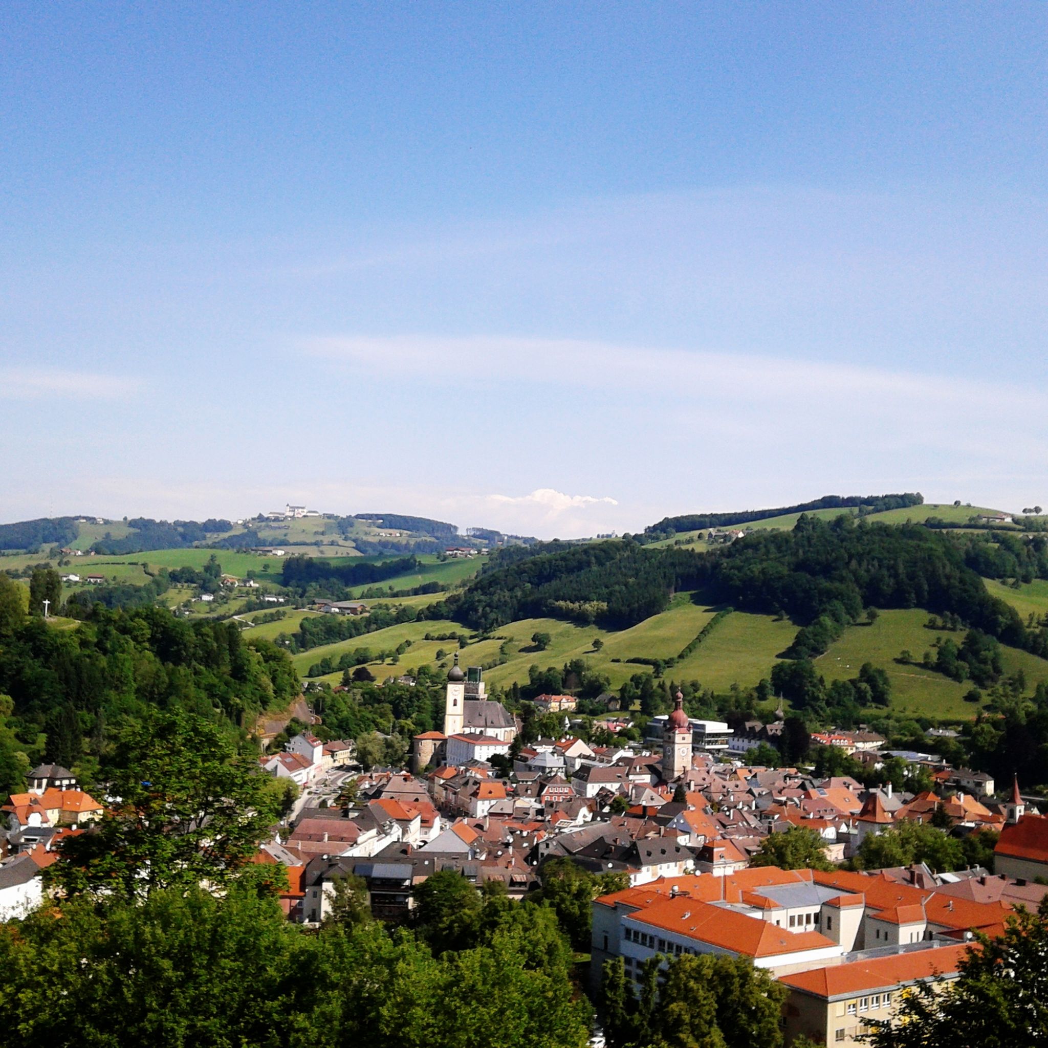
Hiking around Buchenberg
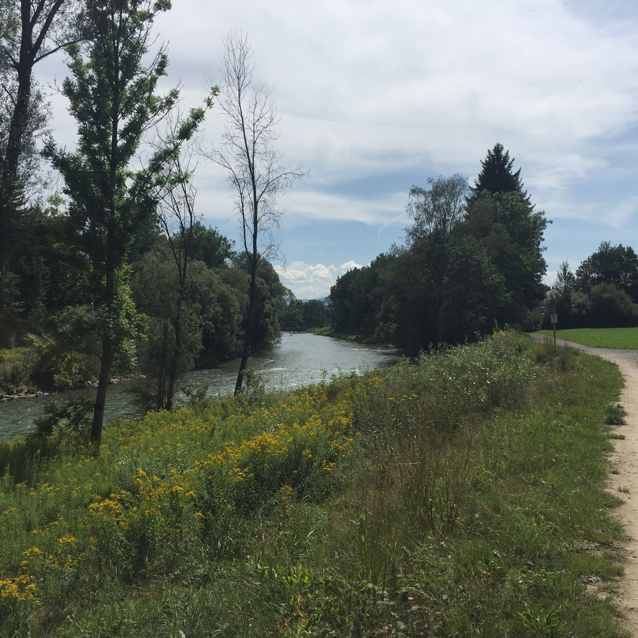
Cycling around Buchenberg
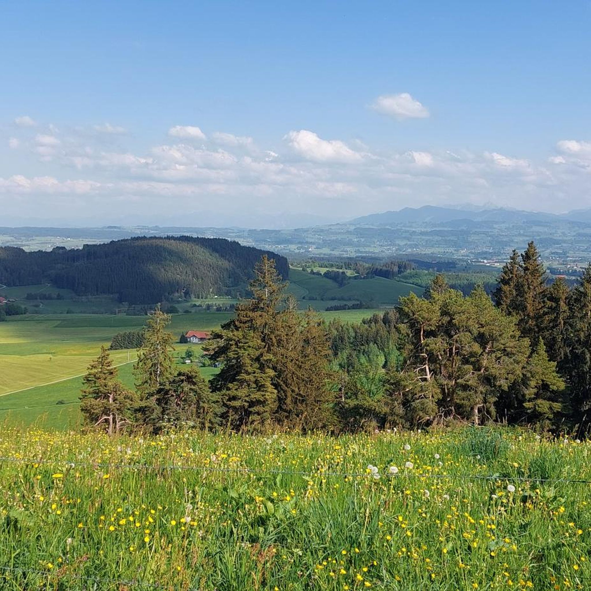
Running Trails around Buchenberg
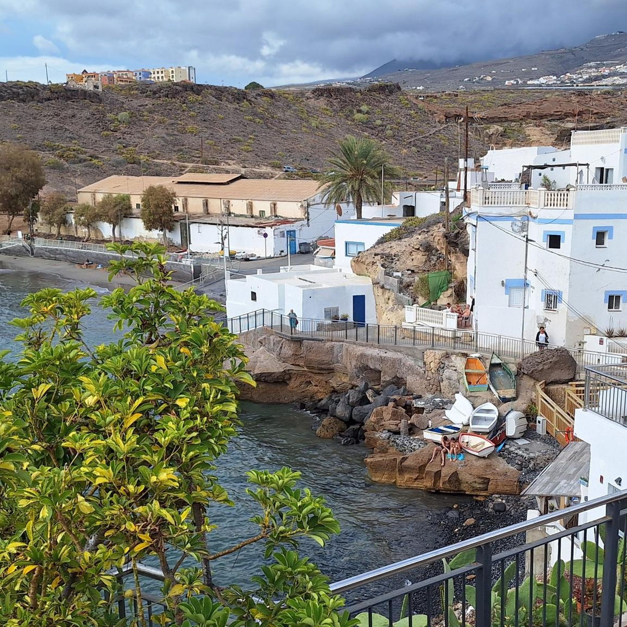
Gravel biking around Buchenberg
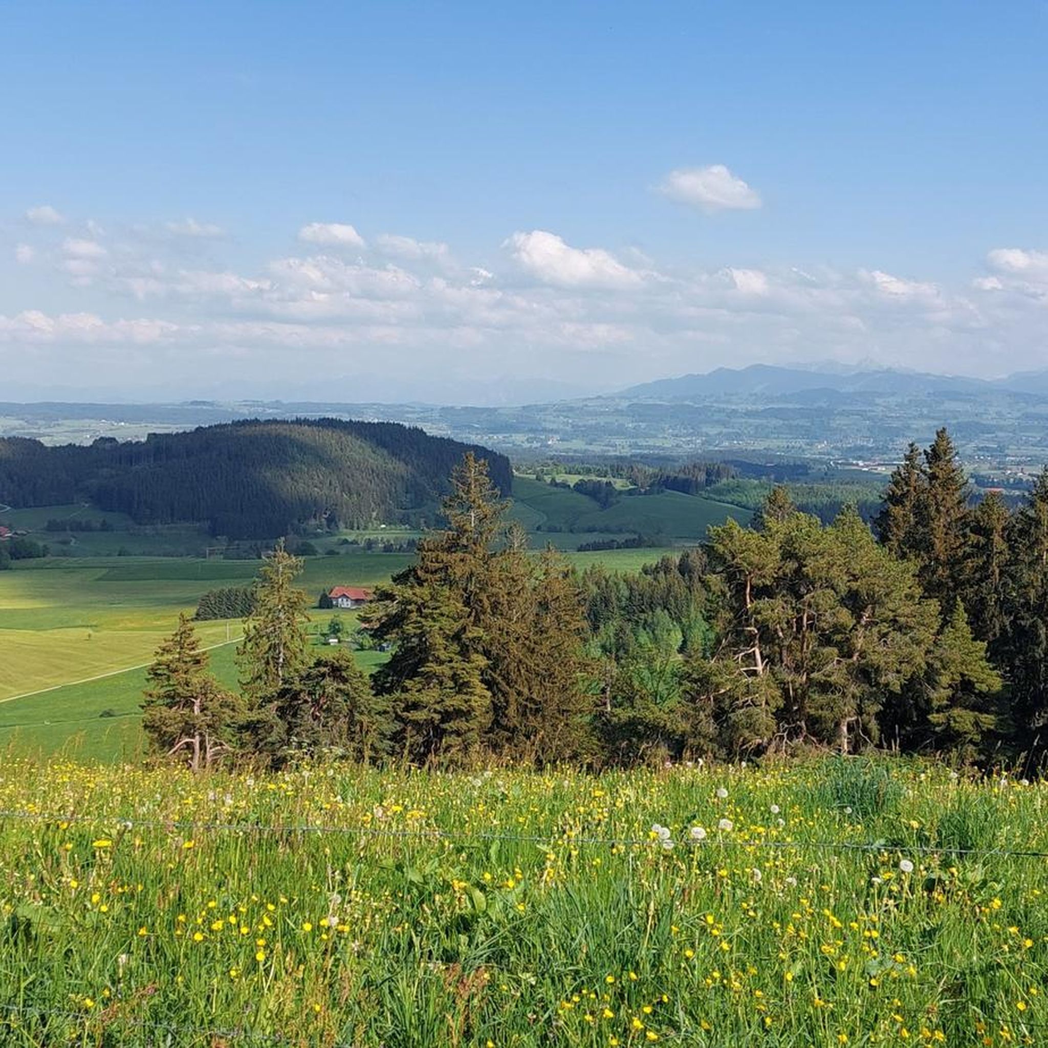
Road Cycling Routes around Buchenberg
Mountain Hikes around Buchenberg
Other adventures around Buchenberg


Tips from the Community

The gnarled roots on the hiking trail remind me that every firm step in life needs a strong hold and even the most winding paths can lead us safely to our destination.
0
0

Finally a path over roots and stones... a relief after the wide gravel paths
1
0

A beautiful high forest, with the last part to the Schwarzen Grad being a root path. It's literally over stock and stone.
7
0

Small bridge directly on the cycle path from Kempten to Ermengerst
0
0

As Kempten residents, we long avoided it, but the path is beautiful along its entire length from Ahegg to Weitnau. I now use the "Protective Wax" from Dynamic and nearby I discovered a pressure washer at the gas station. On the way, I also spotted a hummingbird hawk-moth. Very small but not a hummingbird. https://youtu.be/V8FgTsvxtio
0
0

The old railway bridge has been replaced by a modern structure for cyclists and hikers.
0
0

When the ice melts or after rain, a small stream also flows along the path here.
1
0

Super descent with great results.
0
0
Frequently Asked Questions
How many mountain bike trails are there in Buchenberg?
Buchenberg offers a wide network of over 60 mountain bike trails, catering to various skill levels. These routes traverse diverse landscapes, including dense forests, alpine meadows, and areas with panoramic views.
Are there mountain bike trails suitable for beginners in Buchenberg?
Yes, Buchenberg has approximately 18 easy mountain bike trails that are suitable for beginners. These routes typically feature gentle hills and less challenging terrain, allowing new riders to enjoy the scenic surroundings.
What are some challenging mountain bike trails for experienced riders in Buchenberg?
For experienced riders seeking a challenge, Buchenberg offers about 15 difficult trails. An example is the Kreuzles Peak – View of the Eschacher Weiher loop from Schmidsfelden, which features significant elevation gains and demanding sections.
Can I bring my dog on the mountain bike trails in Buchenberg?
Many trails in Buchenberg are dog-friendly, allowing you to enjoy the ride with your canine companion. However, it's always advisable to keep dogs on a leash, especially in areas with wildlife or livestock, and to be mindful of other trail users.
Are there family-friendly mountain bike routes in Buchenberg?
Yes, Buchenberg offers several family-friendly mountain bike routes. These trails are generally less strenuous, winding through picturesque landscapes like forests and meadows, making them suitable for riders of all ages. Look for routes categorized as 'easy' for the best family experience.
Where can I find parking for mountain bike trails in Buchenberg?
Parking is generally available at various trailheads and starting points around Buchenberg. Specific parking information can often be found on individual route pages on komoot, or by checking local signage near popular access points.
What is the best time of year for mountain biking in Buchenberg?
The best time for mountain biking in Buchenberg is typically during spring, summer, and autumn. During these seasons, the weather is most favorable, and the trails are clear of snow, offering optimal conditions to explore the diverse landscapes.
Are there mountain bike trails with scenic viewpoints in Buchenberg?
Absolutely. Many mountain bike trails in Buchenberg lead to stunning viewpoints. From higher elevations, such as the Buchenberg mountain itself or the observation tower at Schwarzer Grat, you can enjoy magnificent panoramic views of the Ostallgäu and the Allgäu Alps, often extending to Lake Constance on clear days.
What natural attractions can I see along the mountain bike trails?
The trails often pass by beautiful natural features. You might encounter the clear waters of Eschacher Pond, which is popular for swimming, or the idyllic Moorweiher, known for its Kneipp walks and moor educational trail. The routes also traverse dense forests and expansive alpine meadows.
Are there any circular mountain bike routes in Buchenberg?
Yes, Buchenberg features numerous circular mountain bike routes. For example, the Wenger-Egg Alp – Eschacher Pond loop from Buchenberg offers a scenic round trip through the region's diverse terrain.
What do other mountain bikers enjoy most about the trails in Buchenberg?
The mountain bike trails in Buchenberg are highly rated by the komoot community, with an average score of 4.4 stars. Reviewers often praise the varied terrain, the stunning pre-Alpine landscape, and the mix of challenging climbs and exhilarating descents that define the region's biking experience.
Are there options for mountain bikers looking for a bike park experience?
Yes, for those seeking an adrenaline rush, the Buchenberg area includes bike parks with specially designed trails and obstacles like jumps and steep turns. Some routes, such as Kreuzleshöhe and Bikepark Eschach – nature biking in the Allgäu, even incorporate sections near these facilities.
How long are the mountain bike trails around Buchenberg typically?
The mountain bike trails around Buchenberg vary significantly in length. You can find shorter routes, but many popular trails range from 20 to over 30 kilometers. For instance, the Wenger-Egg Alp – View of the Eschacher Weiher loop from Hölzlers Tobel is approximately 33 kilometers long.
Are there places to eat or stay near the mountain bike trails in Buchenberg?
Buchenberg and the surrounding villages offer various options for refueling and accommodation. You'll find local cafes and restaurants where you can enjoy regional cuisine, as well as guesthouses and hotels for overnight stays, ensuring you have comfortable amenities close to the trails.
Most popular routes around Buchenberg
Most popular attractions around Buchenberg

Get inspired with the komoot mobile app


Explore more
Browse the best MTB trails in other regions.
