The 6 Most Amazing Peaks around Thyrnau
Best mountain peaks around Thyrnau are found in the picturesque southern foothills of the Bavarian Forest, within the Passau district of Bavaria, Germany. Thyrnau serves as a starting point for exploring several notable peaks in the surrounding region. The area is characterized by hills reaching up to 1000 meters in height, offering varied terrain for outdoor activities. These natural features provide opportunities for elevated views and hiking.
Best mountain peaks around Thyrnau
- The most popular mountain peaks is Oberfrauenwald Observation…
Last updated: July 1, 2026
Haugstein Summit (895 m)
Highlight • Summit
Translated by Google •
Tip by

Staffelberg Observation Tower
Highlight • Viewpoint
Translated by Google •
Tip by

Sign up now to discover places like this
Get recommendations on the best single tracks, peaks, & plenty of other exciting outdoor places.
Sign up for free
Summit Cross Ruhmannsberg
Highlight • Summit
Translated by Google •
Tip by

Oberfrauenwald Observation Tower
Highlight • Viewpoint
Translated by Google •
Tip by

Ascent via Goderkogel to Haugstein
Highlight • Trail
Translated by Google •
Tip by
Sign up for free to discover even more peaks around Thyrnau.
Sign up for free
Already have an account?
Start today with a free account
Your next adventure awaits.
Login or Signup
Popular around Thyrnau

Triathlon around Germany
Cycling in the Passau region
Radtouren zwischen Donau und Moldau - unterwegs im Bayerischen Wald
Hiking around Thyrnau
Cycling around Thyrnau
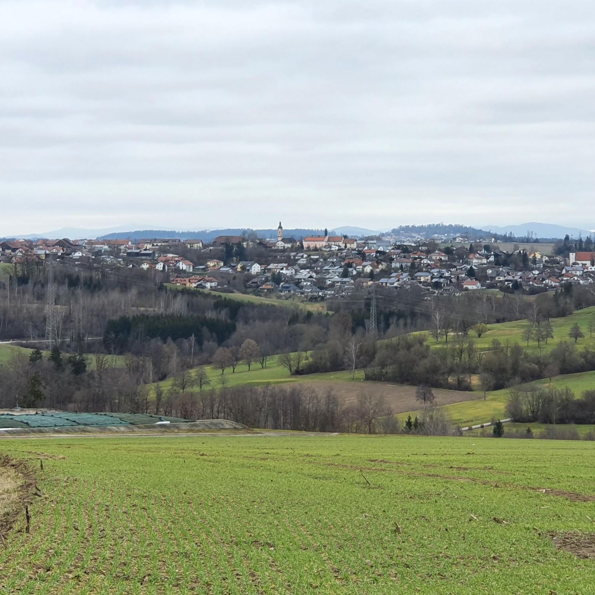
MTB Trails around Thyrnau
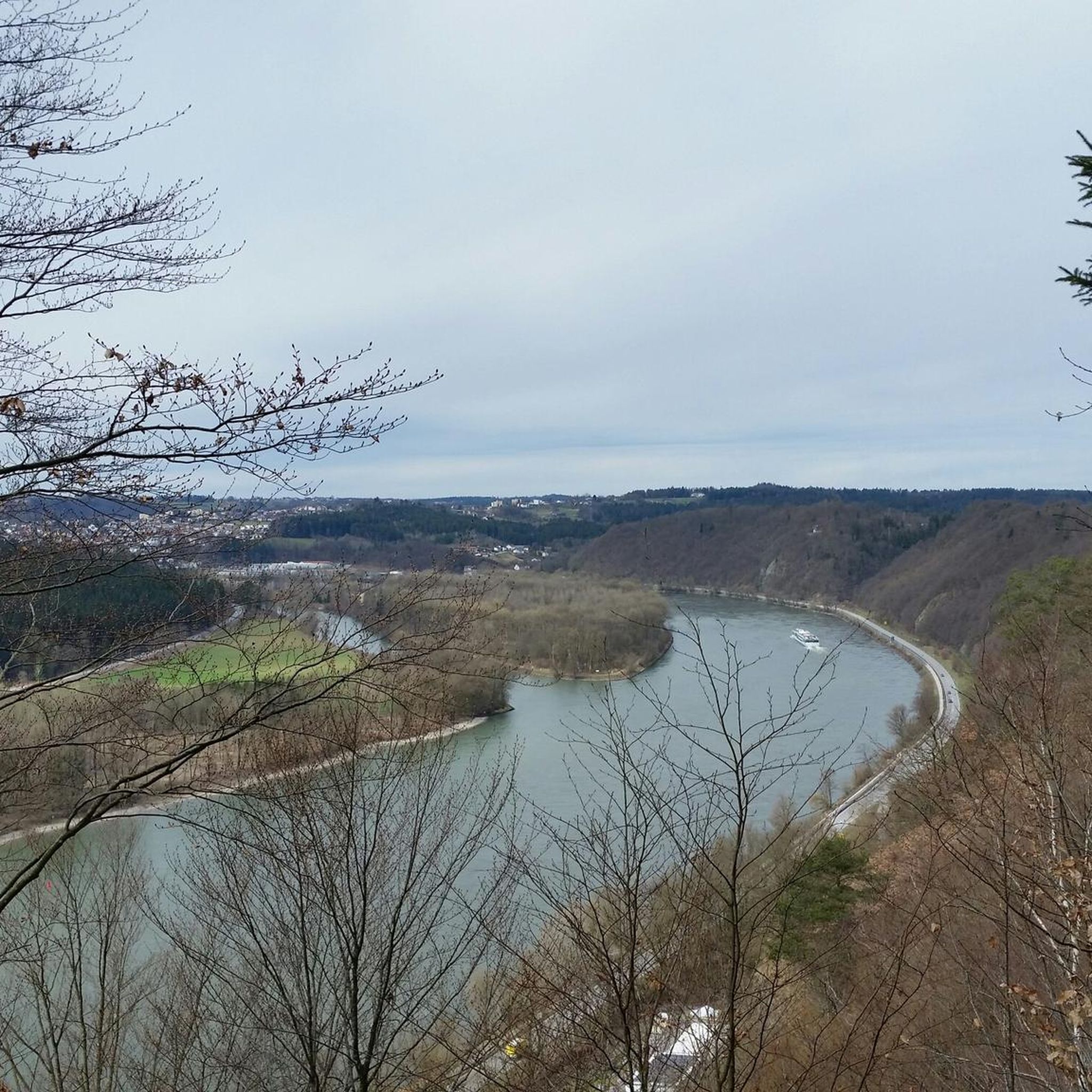
Running Trails around Thyrnau
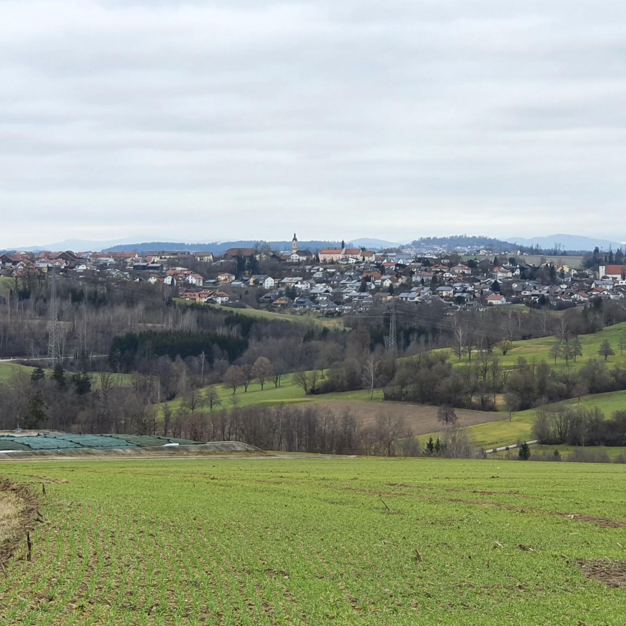
Road Cycling Routes around Thyrnau
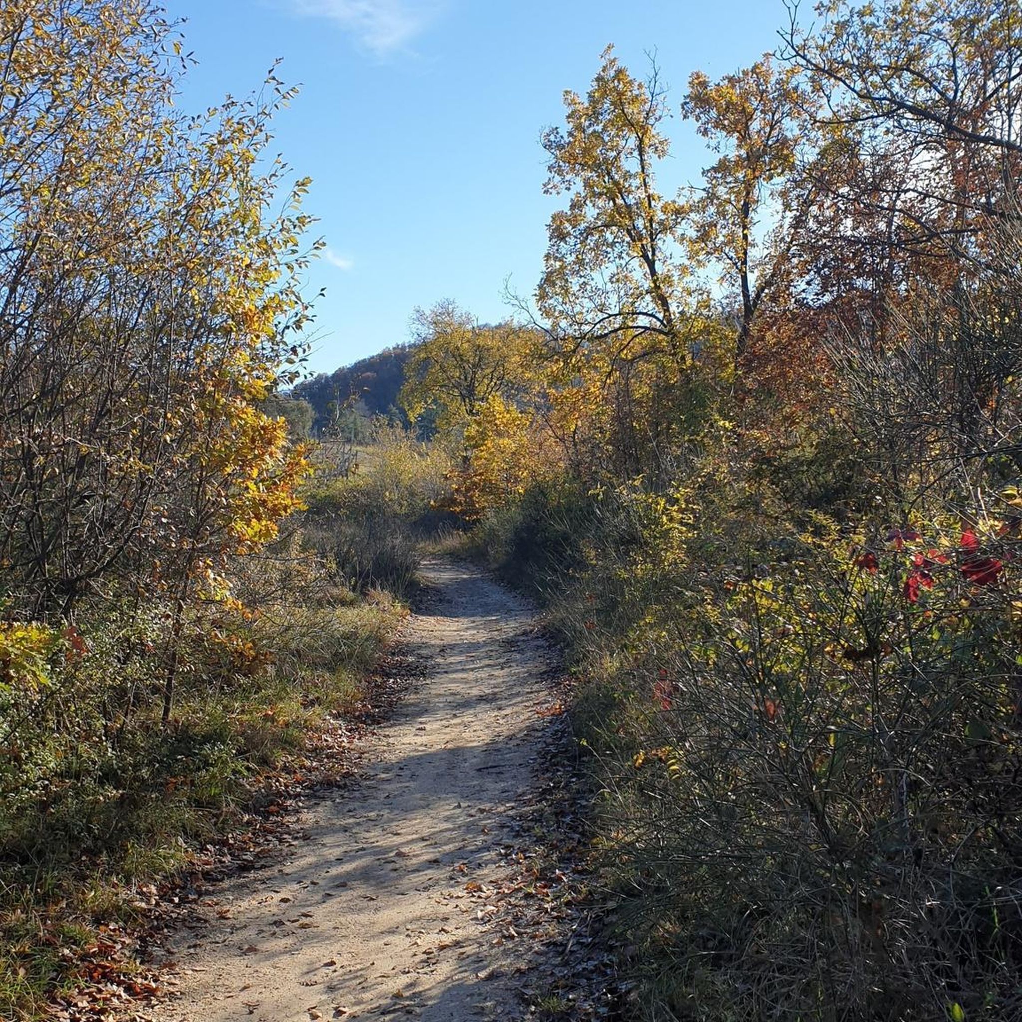
Gravel biking around Thyrnau

Mountain Hikes around Thyrnau


Tips from the Community

The summit cross of the Ruhrmannsberg is very idyllic in the forest. To the right is a small box with a summit book where you can sign in. Very beautiful there, in the middle of the forest with a small bench in front of the cross.
0
0

Summit of the Ruhmannsberg > a geotope The summit of the Ruhmannsberg is formed by a small rock cliff made of amphibolite. Two different varieties are exposed: a fine-grained and a coarse-grained amphibolite, which are interwoven with each other. In some cases, the rocks also have a single-layer appearance with light and dark bands. Basic volcanic rocks are possible parent rocks for the amphibolites. A rib of fine-grained granite is exposed just a little north of the summit. Bavarian State Office for the Environment (LfU). https://www.umweltatlas.bayern.de/standortauskunft/rest/reporting/sb_geotope/generate?additionallayerfieldvalue=275A022
1
0

Great trail descent towards Vichtenstein
0
0

It's a steep climb, but the view is worth it
2
0

The Haugstein is the highest elevation in the Innviertel
1
1

After struggling up, you will be rewarded with a great view
1
0
The Haugstein is 895 m above sea level. A. the highest mountain in the Sauwaldes in the Upper Austrian district of Schärding (Innviertel).
6
0
Beautiful forest landscape and sometimes steep climbs
4
1
Frequently Asked Questions
What are some of the most popular mountain peaks and viewpoints to visit around Thyrnau?
Visitors frequently enjoy the Oberfrauenwald Observation Tower, which offers expansive views, and the Staffelberg Observation Tower, known for its rewarding vistas after a challenging ascent. The Summit Cross Ruhmannsberg is also a popular spot, surrounded by numerous hiking trails.
Which mountain peak offers the highest elevation in the Passau district near Thyrnau?
The highest point in the Passau district is Oberfrauenwald, standing at 953 meters. Its observation tower, the Oberfrauenwald Observation Tower, provides panoramic views that can extend as far as the Alps on clear days.
Are there challenging hiking trails or steep ascents on the peaks around Thyrnau?
Yes, some peaks offer challenging sections. For instance, the ascent to the Staffelberg Observation Tower includes a 20% incline on loose ground. The Summit Cross Ruhmannsberg also features many steep climbs on its forest roads, which can be demanding for hikers and cyclists.
What kind of views can I expect from the mountain peaks in the Thyrnau area?
From peaks like Oberfrauenwald Observation Tower, you can expect expansive views of the Bavarian Forest, and on clear days, even the distant Alps. The Staffelberg Observation Tower also provides rewarding panoramic views of the surrounding landscape.
What outdoor activities, besides hiking, can I do near the mountain peaks around Thyrnau?
The region offers various outdoor activities. You can explore numerous road cycling routes, with options ranging from easy to difficult, or enjoy touring bicycle routes. There are also several running trails available, suitable for moderate to difficult runs.
Are there any notable natural features or landmarks on these peaks?
Yes, the Summit Cross Ruhmannsberg is a prominent landmark. The summit of Ruhmannsberg itself is formed by a small rock cliff of amphibolite. On Haugstein Summit, you can find individual granite blocks along the wooded ridge.
Is the Haugstein Summit part of the Passau district?
While not directly in the Passau district, the Haugstein Summit (895 m) is located nearby in the Upper Austrian district of Schärding. It is recognized as the highest mountain in the Sauwald and is easily accessible for visitors exploring the Thyrnau area.
What kind of terrain can I expect when hiking around Thyrnau's peaks?
The region around Thyrnau is characterized by hills reaching up to 1000 meters, offering varied terrain. You'll find dense forests, meadows, and some steep, challenging ascents, particularly on peaks like Ruhmannsberg and Staffelberg. Trails can range from well-maintained forest roads to more technical paths.
What is the best time of year to visit the mountain peaks near Thyrnau for hiking?
The best time for hiking in the Bavarian Forest foothills around Thyrnau is generally from spring through autumn. During these seasons, the weather is more favorable, and the trails are typically clear. Winter can offer opportunities for snowshoeing or winter hiking, but conditions can be more challenging.
Are there any family-friendly options for exploring the peaks around Thyrnau?
While specific 'family-friendly' designations for individual peaks are not detailed, the region offers a variety of trails. Many forest roads and less steep sections on peaks like Ruhmannsberg can be suitable for families. It's advisable to check the difficulty and length of specific routes to ensure they match your family's capabilities.
What makes the Ruhmannsberg a unique destination?
The Summit Cross Ruhmannsberg is a notable feature on this peak. It's known for its extensive network of hiking trails and forest roads, winding through dense forests and meadows. The summit itself is a geotope, featuring a small rock cliff of amphibolite, making it interesting for those with an eye for geology.
What can I expect from the trail leading to Haugstein Summit?
The trail, such as the Ascent via Goderkogel to Haugstein, offers beautiful forest landscapes and can include sometimes steep climbs. It is considered a demanding trail in places, with some sections being quite technical. Forestry work can occasionally make parts of the path challenging, requiring dismounting for cyclists.
Most popular routes around Thyrnau
Most popular attractions around Thyrnau

Get inspired with the komoot mobile app


Explore more
See even more amazing summits around Thyrnau with these guides:
