The best walks and hikes in Magdalena Milpas Altas
4.1
(31)
293
hikers
18
hikes
Hiking trails in Magdalena Milpas Altas are situated within the mountainous region of Sacatepéquez, Guatemala, offering varied terrain for outdoor activities. The area features an average elevation of 6,765 feet, with landscapes ranging from 5,358 to 8,435 feet. Hikers encounter lush, verdant forests and natural springs, particularly within the Parque Ecológico Corazón del Agua. Higher elevations provide panoramic views of volcanoes such as Pacaya, Agua, Fuego, and Acatenango.
Best hiking trails in Magdalena Milpas Altas
- The most popular hiking route…
Last updated: July 15, 2026
4.7
(7)
34
hikers
19.0km
05:40
550m
550m
Hard hike. Very good fitness required. Easily-accessible paths. Suitable for all skill levels.
4.0
(5)
50
hikers
22.7km
07:44
1,150m
1,150m
Hard hike. Very good fitness required. Easily-accessible paths. Suitable for all skill levels.

Sign up for free
4.5
(2)
12
hikers
10.3km
02:45
100m
100m
Moderate hike. Good fitness required. Easily-accessible paths. Suitable for all skill levels.
4.3
(3)
45
hikers
5.49km
01:57
340m
340m
Moderate hike. Good fitness required. Easily-accessible paths. Suitable for all skill levels.
4.8
(4)
17
hikers
9.02km
02:55
420m
420m
Moderate hike. Good fitness required. Easily-accessible paths. Suitable for all skill levels.
3
hikers
7.75km
02:16
190m
190m
Moderate hike. Good fitness required. Easily-accessible paths. Suitable for all skill levels.
14
hikers
2.43km
00:42
60m
60m
Easy hike. Great for any fitness level. Easily-accessible paths. Suitable for all skill levels.
8
hikers
Easy hike. Great for any fitness level. Easily-accessible paths. Suitable for all skill levels.
10
hikers
Easy hike. Great for any fitness level. Easily-accessible paths. Suitable for all skill levels.
8
hikers
11.3km
03:21
310m
310m
Moderate hike. Good fitness required. Easily-accessible paths. Suitable for all skill levels.
Get access to more routes and recommendations from other explorers.
Sign up for free
Already have an account?
Our route recommendations are based on thousands of hikes, rides, and runs completed by other people on komoot.
Start today with a free account
Your next adventure awaits.
Login or Signup
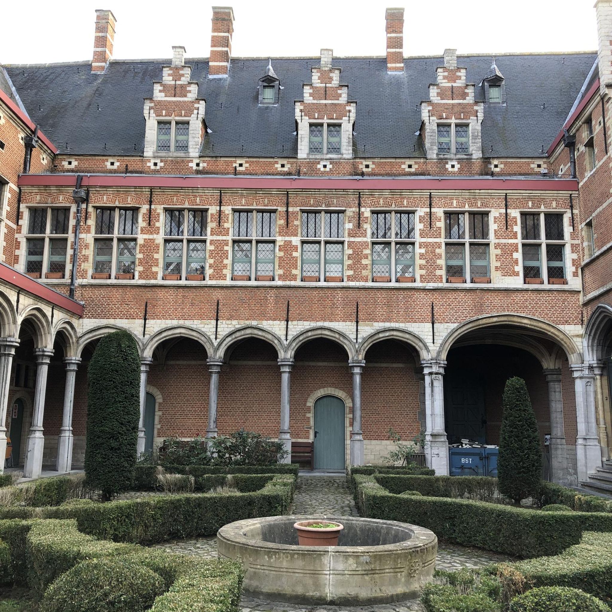
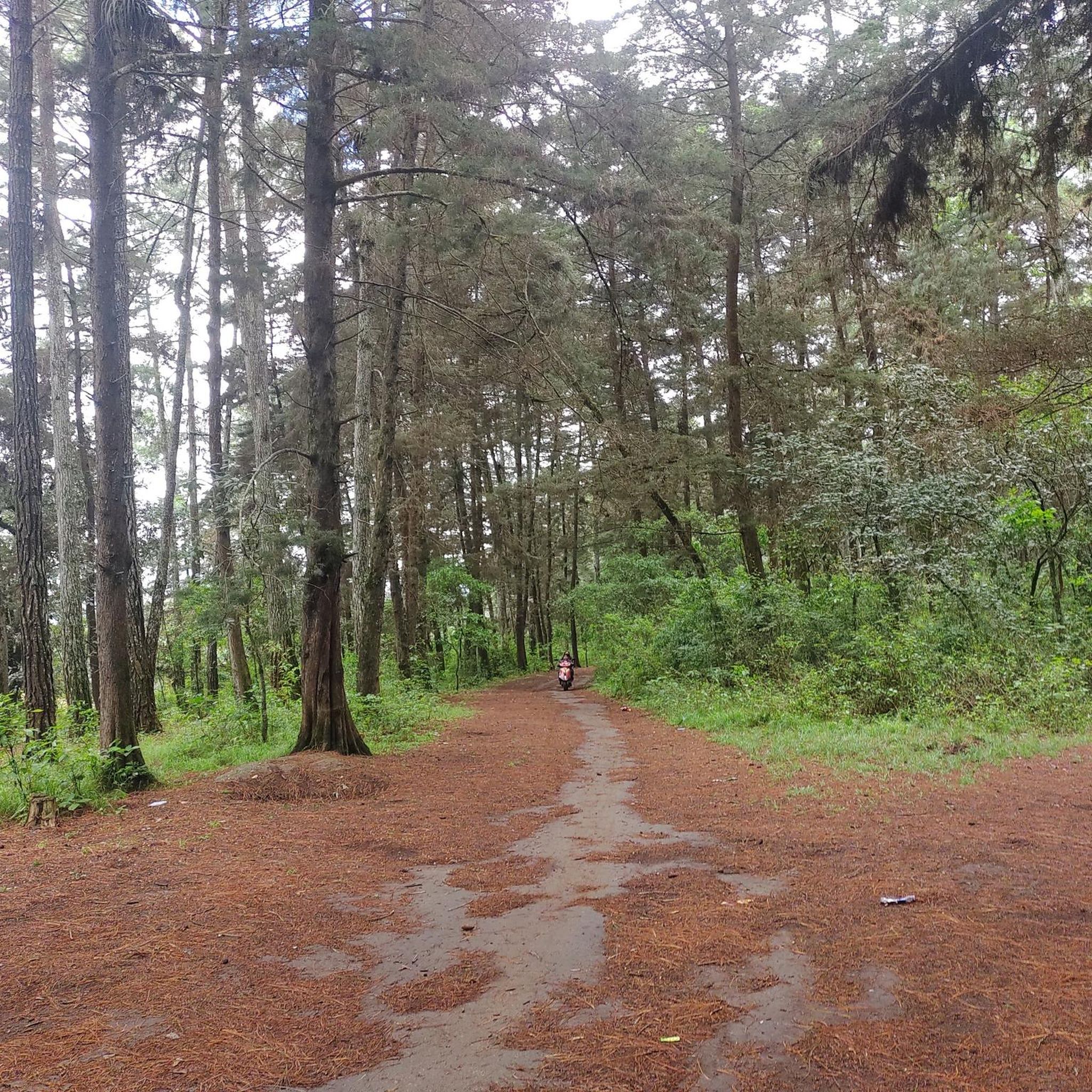
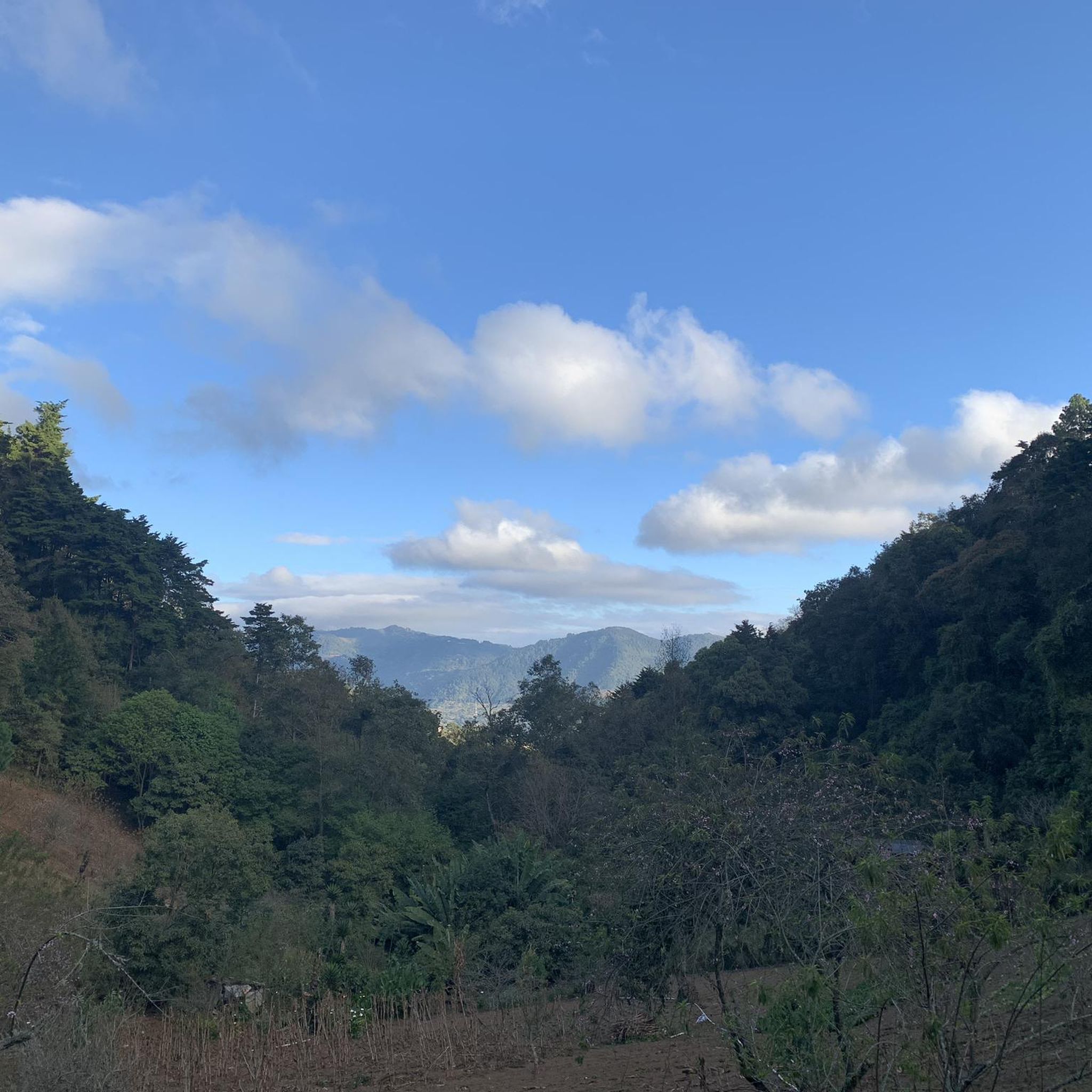
Tips from the Community

Market hall with great artisan items, souvenirs
0
0
Right next to Plaza Central, a beautiful square with a park in the middle of the city
1
0
Is the best preserved baroque building in the old capital of the country. The Mercedarian Order was founded in 1218 by Peter Nolascus in the Kingdom of Aragon. De.m.wikipedia.org
0
0
Created in 1612 More information Aprende.guatemala.com
1
0
Located on the central square of Antigua in Guatemala. It serves as the headquarters of the Guatemalan Institute of Tourism, the Antigua Tourism Association, the National Police, and the Government of the Department of Sacatepquez. Wikipedia
2
0
Built in 1677 Architect: Josef de Porres More info Laantiguaguatemala.com
1
0
The Cathedral of Antigua Guatemala was the episcopal church of Antigua Guatemala, the former capital of the Spanish Captaincy General of Guatemala (wikipedia)
1
0
Very nice square, with cathedral, fountain, benches to linger. Ideal to start a walk around Antigua
1
0
Frequently Asked Questions
How many hiking trails are available in Magdalena Milpas Altas?
Magdalena Milpas Altas offers a diverse network of over 20 hiking trails. These routes cater to various skill levels, including easy, moderate, and difficult options, ensuring there's a suitable path for every hiker.
What kind of terrain can I expect on hikes in Magdalena Milpas Altas?
The region is characterized by mountainous terrain with an average elevation of 6,765 feet, ranging from 5,358 to 8,435 feet. You'll encounter lush, verdant forests, natural springs, and varied landscapes. Higher elevations provide panoramic views of volcanoes like Pacaya, Agua, Fuego, and Acatenango.
Are there any family-friendly hiking options in Magdalena Milpas Altas?
Yes, there are several easy trails suitable for families. For instance, the Hiking loop from Antigua Guatemala is a shorter, less strenuous option. The Parque Ecológico Corazón del Agua also features well-marked trails and amenities like swings, making it enjoyable for all ages.
Can I bring my dog on the hiking trails?
While specific regulations for dogs on all trails may vary, the Parque Ecológico Corazón del Agua is generally welcoming to pets, offering extensive trails for long walks. It's always advisable to keep dogs on a leash and ensure they are well-behaved to respect other visitors and wildlife.
What are the best viewpoints or landmarks to see while hiking?
Many trails, especially those within the Parque Ecológico Corazón del Agua, lead to higher elevations that offer breathtaking panoramic views. From these points, you can see several prominent volcanoes, including Pacaya, Agua, Fuego, and Acatenango. On clear days, you might also glimpse parts of Lake Amatitlán and even distant views towards Lake Atitlán.
Are there any challenging hikes for experienced trekkers?
Yes, Magdalena Milpas Altas offers several difficult routes for experienced hikers. An example is the Valley Viewpoint – El Cucurucho Hill loop from Antigua Guatemala, which covers 14.4 miles (23.2 km) with significant elevation changes, typically taking around 7 hours 50 minutes to complete.
Is there parking available near the trailheads?
Yes, Magdalena Milpas Altas offers parking options within the municipality, and the starting points for many trails, including those leading to Parque Ecológico Corazón del Agua, are generally accessible by various vehicles.
What is the best time of year to go hiking in Magdalena Milpas Altas?
The region generally experiences a dry season from November to April, which is often considered ideal for hiking due to clearer skies and more comfortable temperatures. The rainy season, from May to October, can bring lush greenery but also muddy trails and occasional afternoon showers.
What do other hikers enjoy most about the trails in Magdalena Milpas Altas?
The trails in Magdalena Milpas Altas are highly rated by the komoot community, with an average score of 4.3 stars from over 55 reviews. Hikers frequently praise the stunning panoramic views of volcanoes, the peaceful immersion in lush forests, and the variety of routes available for different skill levels.
Are there any circular hiking routes in the area?
Yes, many of the trails in Magdalena Milpas Altas are designed as loops, allowing you to start and end at the same point. Examples include the Cerro Las Minas loop from Santa Isabel and the Picnic Area loop from San Andrés Ceballos, offering convenient options for exploration.
Can I camp in Magdalena Milpas Altas?
Yes, the Parque Ecológico Corazón del Agua offers designated camping areas. Park rangers are available to coordinate security and provide resources such as water and firewood, ensuring a safe and enjoyable camping experience amidst the natural beauty.
How accessible is Magdalena Milpas Altas from nearby cities?
Magdalena Milpas Altas is conveniently located, approximately 50 minutes from Guatemala City and about 20 minutes from Antigua Guatemala, making it an easily accessible destination for nature lovers seeking an outdoor retreat.
Most popular routes in Magdalena Milpas Altas

Get inspired with the komoot mobile app


Explore more
Browse the best Hikes in other regions.
