The best MTB trails in Magdalena Milpas Altas
4.7
(28)
178
riders
28
rides
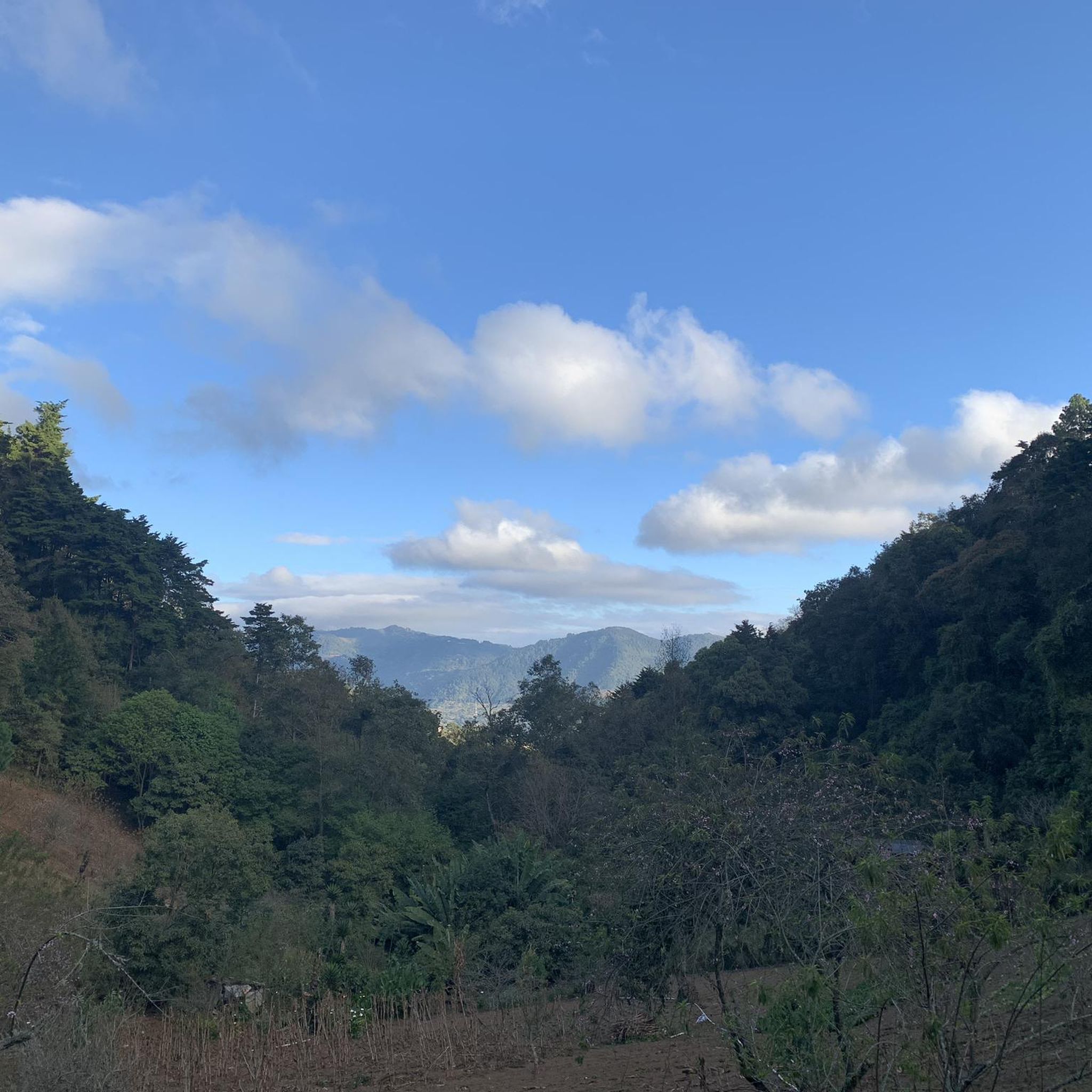
Mountain biking in Magdalena Milpas Altas offers diverse terrain within the Sacatepéquez Department of Guatemala. The region features an average elevation of around 6,765 feet, with terrain reaching up to 8,435 feet, providing significant elevation changes. Riders can expect routes through lush forests, agricultural fields, and volcanic landscapes, often with views of volcanoes like Agua, Fuego, and Acatenango. Its proximity to Antigua Guatemala means access to an extensive network of trails that include singletrack, rocky sections, and steep climbs.
Best…
Last updated: July 15, 2026
4.5
(2)
23
riders
57.9km
04:57
1,540m
1,540m
Hard mountain bike ride. Very good fitness required. Suitable for all skill levels.
5.0
(16)
19
riders
32.4km
02:38
630m
630m
Moderate mountain bike ride. Good fitness required. Suitable for all skill levels.

Sign up for free
12
riders
34.0km
03:26
1,140m
1,140m
Hard mountain bike ride. Very good fitness required. Suitable for all skill levels.
11
riders
25.9km
02:16
590m
590m
Moderate mountain bike ride. Good fitness required. Suitable for all skill levels.
8
riders
19.1km
02:21
920m
930m
Hard mountain bike ride. Very good fitness required. Suitable for all skill levels.
8
riders
28.2km
03:11
1,150m
1,150m
Hard mountain bike ride. Very good fitness required. Suitable for all skill levels.
6
riders
16.4km
01:47
710m
710m
Moderate mountain bike ride. Good fitness required. Suitable for all skill levels.
6
riders
37.8km
02:49
650m
650m
Moderate mountain bike ride. Good fitness required. Suitable for all skill levels.
Get access to more routes and recommendations from other explorers.
Sign up for free
Already have an account?
Our route recommendations are based on thousands of hikes, rides, and runs completed by other people on komoot.
Start today with a free account
Your next adventure awaits.
Login or Signup
Tips from the Community

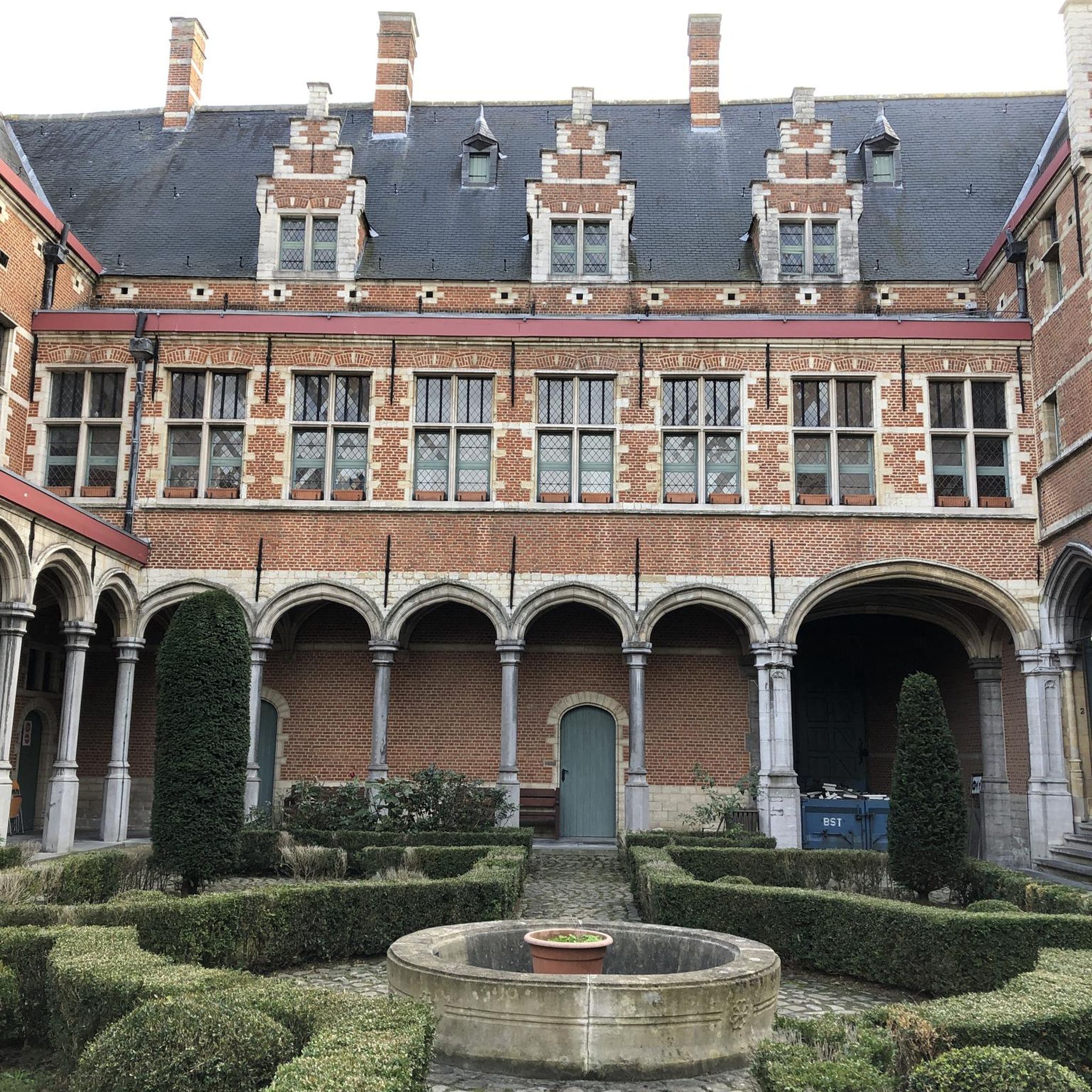
Right next to Plaza Central, a beautiful square with a park in the middle of the city
1
0
Is the best preserved baroque building in the old capital of the country. The Mercedarian Order was founded in 1218 by Peter Nolascus in the Kingdom of Aragon. De.m.wikipedia.org
0
0
Located on the central square of Antigua in Guatemala. It serves as the headquarters of the Guatemalan Institute of Tourism, the Antigua Tourism Association, the National Police, and the Government of the Department of Sacatepquez. Wikipedia
2
0
With the permission of the first bishop of Guatemala, Francisco Marroquin, the Mercedians, who were mainly active in Peru, attempted to build a church and monastery in Antigua with great difficulty. It is thanks to the construction instructions of the architect Juan de Dios Estrada from 1749 that La Merced survived the 1773 earthquake relatively well. (Travel guide Reise Know how Guatemala)
1
0

The Palacio de los Capitanes Generales was the administrative headquarters of the Spanish colonial government. The building on the Parque Central was built in 1558, was damaged several times by earthquakes and is now a cultural center.
4
0


A wonderfully green park in the heart of the city. Sitting on one of the benches you can watch the hustle and bustle around you.
1
0

Frequently Asked Questions
What kind of terrain can I expect on mountain bike trails in Magdalena Milpas Altas?
Mountain biking in Magdalena Milpas Altas offers diverse terrain, characterized by volcanic landscapes, lush forests, and agricultural fields. You'll encounter significant elevation changes, with routes reaching up to 8,435 feet, providing both challenging climbs and rewarding descents. The region's subtropical highland climate ensures a green, vibrant environment year-round.
How many mountain bike trails are available in Magdalena Milpas Altas?
There are over 25 mountain bike trails available in Magdalena Milpas Altas, catering to various skill levels. The komoot community has explored these routes over 150 times, giving them an average rating of 4.8 stars.
Are there mountain bike trails suitable for beginners in Magdalena Milpas Altas?
Yes, Magdalena Milpas Altas offers several routes suitable for beginners. While many trails feature significant elevation changes, there are options designed to be less demanding. For example, you can find routes that traverse agricultural fields with more gradual inclines.
Are there any challenging mountain bike routes for experienced riders?
Absolutely. Experienced riders will find plenty of challenging routes with significant elevation gain and technical sections. A notable difficult route is the Mountainbike loop from Antigua Guatemala, which covers 32.4 miles (52.1 km) with over 1,400 meters of ascent, taking you through diverse volcanic soil and farmlands.
What is the best time of year for mountain biking in Magdalena Milpas Altas?
Thanks to its subtropical highland climate, Magdalena Milpas Altas enjoys mild temperatures year-round, making it suitable for mountain biking almost any time. The green, vibrant environment is consistently inviting, though checking local weather forecasts for rain is always advisable.
Are there any loop trails for mountain biking in the area?
Yes, many mountain bike routes in Magdalena Milpas Altas are designed as loops, offering a convenient way to explore the region. An example is the El Hotelito – Santiago Short Trail loop from Parada Choacorral, a moderate 20.2-mile (32.4 km) path featuring varied landscapes.
Can I find mountain bike trails that offer views of the volcanoes?
Yes, the region is famous for its volcanic vistas. Many mountain bike trails in Magdalena Milpas Altas provide breathtaking views of volcanoes like Agua, Fuego, and Acatenango. The elevated position of the area, with terrain reaching up to 8,435 feet, ensures numerous panoramic viewpoints.
Are there any mountain bike routes that pass through local villages or cultural sites?
Yes, some routes offer a cultural immersion experience, passing through local villages and agricultural areas. The Parroquia San Sebastián loop from Hacienda de las Flores is a 17.2-mile (27.7 km) trail that leads through local communities, offering glimpses into daily life alongside scenic mountain views.
What do other mountain bikers say about the trails in Magdalena Milpas Altas?
The mountain bike trails in Magdalena Milpas Altas are highly rated by the komoot community, with an average score of 4.8 stars from over 20 reviews. Riders frequently praise the diverse terrain, from volcanic soil to lush forests, and the stunning views of the surrounding volcanoes.
Are there any moderate mountain bike trails for intermediate riders?
Intermediate riders will find a good selection of moderate trails. For instance, the The Tree House loop from Antigua Guatemala is a moderate 26.2-mile (26.2 km) route that offers a balanced challenge with varied elevation changes and scenic surroundings.
Are there mountain bike trails accessible from Antigua Guatemala?
Magdalena Milpas Altas is conveniently located near Antigua Guatemala, which serves as a hub for many outdoor adventures. Several mountain biking tours originate from Antigua, providing easy access to the extensive network of trails in the broader region. An example is the Parroquia San Sebastián loop from Antigua Guatemala, a moderate 23.4-mile (37.7 km) route.
What kind of elevation changes can I expect on the trails?
The region is known for significant elevation changes, with the terrain ranging from an average of 6,765 feet up to 8,435 feet. This means you can expect routes with substantial climbs and descents, such as the Santa María de Jesús loop from Santa Catarina Barahona, which features over 1,100 meters of ascent and descent.
Most popular routes in Magdalena Milpas Altas

Get inspired with the komoot mobile app


Explore more
Browse the best MTB trails in other regions.
