The best running trails in Pastores
4.2
(15)
366
runners
29
runs
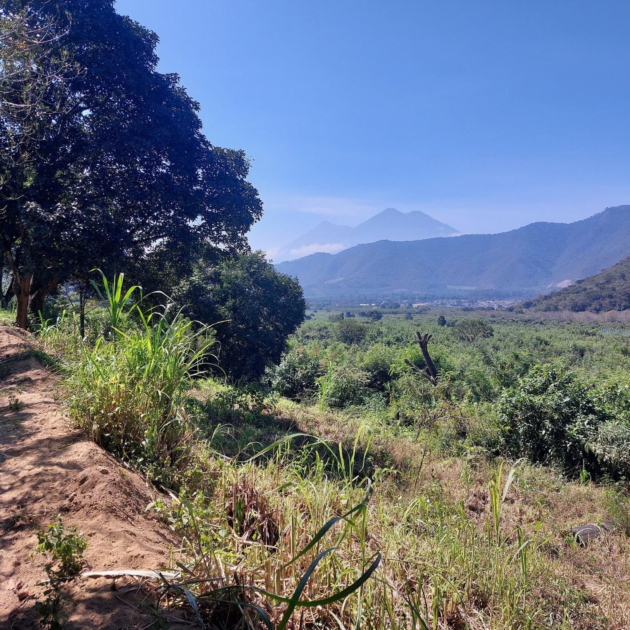
Jogging routes in Pastores offer diverse terrain set against a backdrop of volcanic landscapes. The region is characterized by hilly streets, lush green spaces, and agricultural lands, providing varied inclines and declines for runners. Situated at an altitude of approximately 1605 meters (5,138 feet), Pastores presents opportunities for altitude training, enhancing cardiovascular intensity. A river with an arched bridge also adds to the scenic environment for running.
Best jogging routes in Pastores
- The most popular jogging route is Cerro de…
Last updated: July 5, 2026
3.7
(3)
41
runners
10.2km
01:18
340m
340m
Hard run. Very good fitness required. Mostly paved surfaces. Suitable for all skill levels.
9
runners
12.4km
01:29
330m
330m
Hard run. Very good fitness required. Mostly paved surfaces. Suitable for all skill levels.

Sign up for free
5.0
(1)
7
runners
5.18km
00:32
10m
10m
Moderate run. Good fitness required. Mostly paved surfaces. Suitable for all skill levels.
5.0
(1)
10
runners
11.7km
01:13
50m
50m
Moderate run. Good fitness required. Mostly paved surfaces. Suitable for all skill levels.
3.0
(1)
2
runners
7.17km
00:45
20m
20m
Moderate run. Good fitness required. Mostly paved surfaces. Suitable for all skill levels.
Get access to more routes and recommendations from other explorers.
Sign up for free
Already have an account?
Our route recommendations are based on thousands of hikes, rides, and runs completed by other people on komoot.
Start today with a free account
Your next adventure awaits.
Login or Signup
Popular around Pastores

Tips from the Community

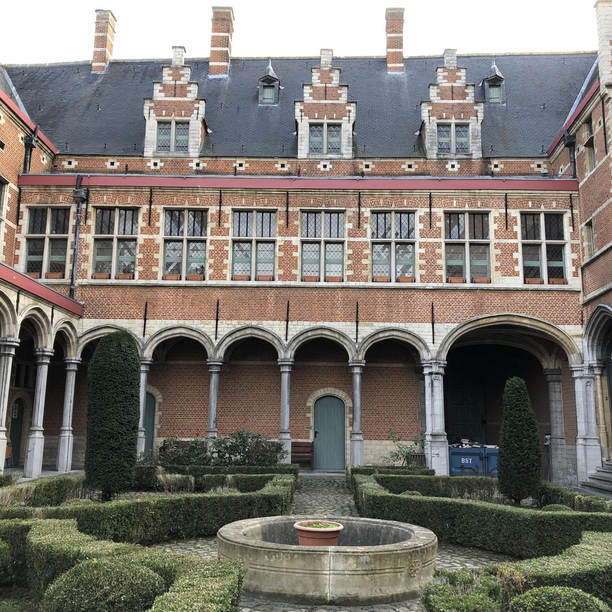
Right next to Plaza Central, a beautiful square with a park in the middle of the city
1
0
Located on the central square of Antigua in Guatemala. It serves as the headquarters of the Guatemalan Institute of Tourism, the Antigua Tourism Association, the National Police, and the Government of the Department of Sacatepquez. Wikipedia
2
0

The Palacio de los Capitanes Generales was the administrative headquarters of the Spanish colonial government. The building on the Parque Central was built in 1558, was damaged several times by earthquakes and is now a cultural center.
4
0

A wonderfully green park in the heart of the city. Sitting on one of the benches you can watch the hustle and bustle around you.
1
0
Frequently Asked Questions
What kind of terrain can I expect on running routes around Pastores?
The region around Pastores offers diverse terrain, characterized by rolling and hilly streets, lush green spaces, and agricultural lands. You'll find varied inclines and declines, providing a dynamic workout. Many routes also feature stunning views of the surrounding volcanoes and a river winding through the town.
Are there running routes suitable for beginners or those looking for an easier jog?
While many routes in the broader Pastores area are moderate to difficult, there are options for less strenuous runs. For example, the Running loop from Antigua Guatemala is a moderate 5.2 km (3.2 miles) trail that takes about 32 minutes to complete, leading through local streets and green areas.
What are the more challenging running trails in the Pastores area?
For experienced runners seeking a challenge, the area offers several difficult routes. The Cerro de la Cruz loop from Antigua Guatemala is a difficult 10.2 km (6.3 miles) trail with significant elevation gain, offering panoramic views. Another demanding option is the Cerro de la Cruz – IGSS Descent loop from Antigua Guatemala, a difficult 12.7 km (7.9 miles) path with varied terrain.
Can I experience altitude training while running in Pastores?
Yes, Pastores is situated at an altitude of approximately 1605 meters (5,138 feet), which provides an excellent opportunity for altitude training. Running at this elevation can naturally increase cardiovascular intensity, challenging runners and potentially improving endurance. Visitors unaccustomed to high altitudes should allow time for acclimatization.
Are there any circular running routes available?
Yes, many of the running routes in the Pastores area are designed as loops, allowing you to start and finish in the same location. Examples include the Parroquia San Sebastián loop from Antigua Guatemala and the Iglesia San Agustín loop from Antigua Guatemala, both offering scenic circular paths.
What kind of views or landmarks can I expect to see on these running routes?
The running routes in the Pastores region offer breathtaking views of the majestic Volcan de Fuego, Volcan Acatenango, and Volcan de Agua. You'll also pass through lush green spaces, cultivated lands, and charming local streets. Routes like the Cerro de la Cruz loop provide panoramic vistas of Antigua and Volcán Agua.
What do other runners think about the trails in Pastores?
The running routes in the Pastores area are highly rated by the komoot community, with an average score of 4.2 stars from over 15 reviews. More than 300 runners have used komoot to explore the varied terrain, often praising the stunning volcanic vistas and the dynamic, hilly landscapes.
Are there any family-friendly running options near Pastores?
While specific family-friendly designated trails are not highlighted, the moderate routes with less elevation gain, such as the Running loop from Antigua Guatemala, could be suitable for families looking for a gentle jog or walk together. The charming local streets and green areas offer a pleasant environment.
Is public transport available to access running routes near Pastores?
Pastores is located near Antigua Guatemala, which serves as a hub for many of the listed routes. Public transport options, such as local buses or 'chicken buses,' are common in the region and can connect you between towns. For routes starting directly from Antigua, you can often reach the starting points easily within the city.
What is the best time of year to go running in Pastores?
The region generally experiences a dry season from November to April and a rainy season from May to October. The dry season typically offers more consistent weather for running, with cooler temperatures. However, the lush landscapes are particularly vibrant during and after the rainy season. It's always advisable to check local weather forecasts before heading out.
Are there any long-distance running routes for endurance training?
Yes, for those looking for longer runs, the area offers several routes over 10 km. The El Calvario loop from Santa Catarina Barahona is a challenging 19 km (11.8 miles) route with significant elevation, ideal for endurance training. The Cerro de la Cruz – IGSS Descent loop also provides a substantial 12.7 km (7.9 miles) run.
Are there any running routes that pass by cafes or places to rest?
Many of the running routes in the Pastores area are close to or pass through towns like Antigua Guatemala, which are rich with cafes, restaurants, and shops. While specific routes aren't designed as 'cafe runs,' you'll find opportunities for refreshments before or after your run, especially when starting or ending in Antigua.

Get inspired with the komoot mobile app


Explore more
Browse the best Running Trails & Routes in other regions.
