The best walks and hikes around Haiterbach
4.5
(203)
831
hikers
65
hikes
Hiking around Haiterbach offers diverse landscapes within the Northern Black Forest and Heckengäu region. The area is characterized by dense forests, rolling hills, and picturesque valleys, with the Schlossberg mountain providing a prominent feature. Trails often follow the idyllic paths along the Nagold River and traverse open fields and orchards. This varied terrain provides a range of hiking experiences for different skill levels.
Best hiking trails around Haiterbach
- The most popular hiking route is St. Mary's Church – Mandelberg Castle…
Last updated: July 4, 2026
4.4
(21)
76
hikers
10.8km
02:56
160m
160m
Moderate hike. Good fitness required. Easily-accessible paths. Suitable for all skill levels.
4.6
(14)
56
hikers
10.1km
02:51
220m
220m
Moderate hike. Good fitness required. Easily-accessible paths. Suitable for all skill levels.

Sign up for free
5.0
(6)
28
hikers
19.7km
05:32
400m
400m
Hard hike. Very good fitness required. Easily-accessible paths. Suitable for all skill levels.
4.6
(14)
55
hikers
Moderate hike. Good fitness required. Easily-accessible paths. Suitable for all skill levels.
5.0
(4)
20
hikers
11.1km
03:07
220m
220m
Moderate hike. Good fitness required. Easily-accessible paths. Suitable for all skill levels.
Get access to more routes and recommendations from other explorers.
Sign up for free
Already have an account?
Our route recommendations are based on thousands of hikes, rides, and runs completed by other people on komoot.
Start today with a free account
Your next adventure awaits.
Login or Signup

Tips from the Community

The Bösinger Wasserhäusle was a pumping station and was used to transport fresh spring water from a source in the Waldach valley via cast iron pipes to the village of Bösingen (a district of the municipality of Pfalzgrafenweiler), located 1.4 km away and 140 meters higher up. The pumps were driven by the water power of the Waldach. A water wheel with a diameter of six meters was used. The facility went into operation in 1894. In 1911, it was supplemented by an 8 hp gasoline engine, which could now also drive the pumps during low water levels in the Waldach. In 1948, it was connected to the power grid via a transformer station, after which a newly installed electric motor could serve as a backup drive. The Bösingen's own water supply was taken out of service in 1991 due to drinking water contamination. The entire facility, including the weir, the power channel, and the pumping station, has been protected as a cultural-historical monument since 2000. The pumping station can be visited all day on the Day of the Open Monument. Source: https://de.wikipedia.org/wiki/B%C3%B6singer_Wasserh%C3%A4usle
0
0

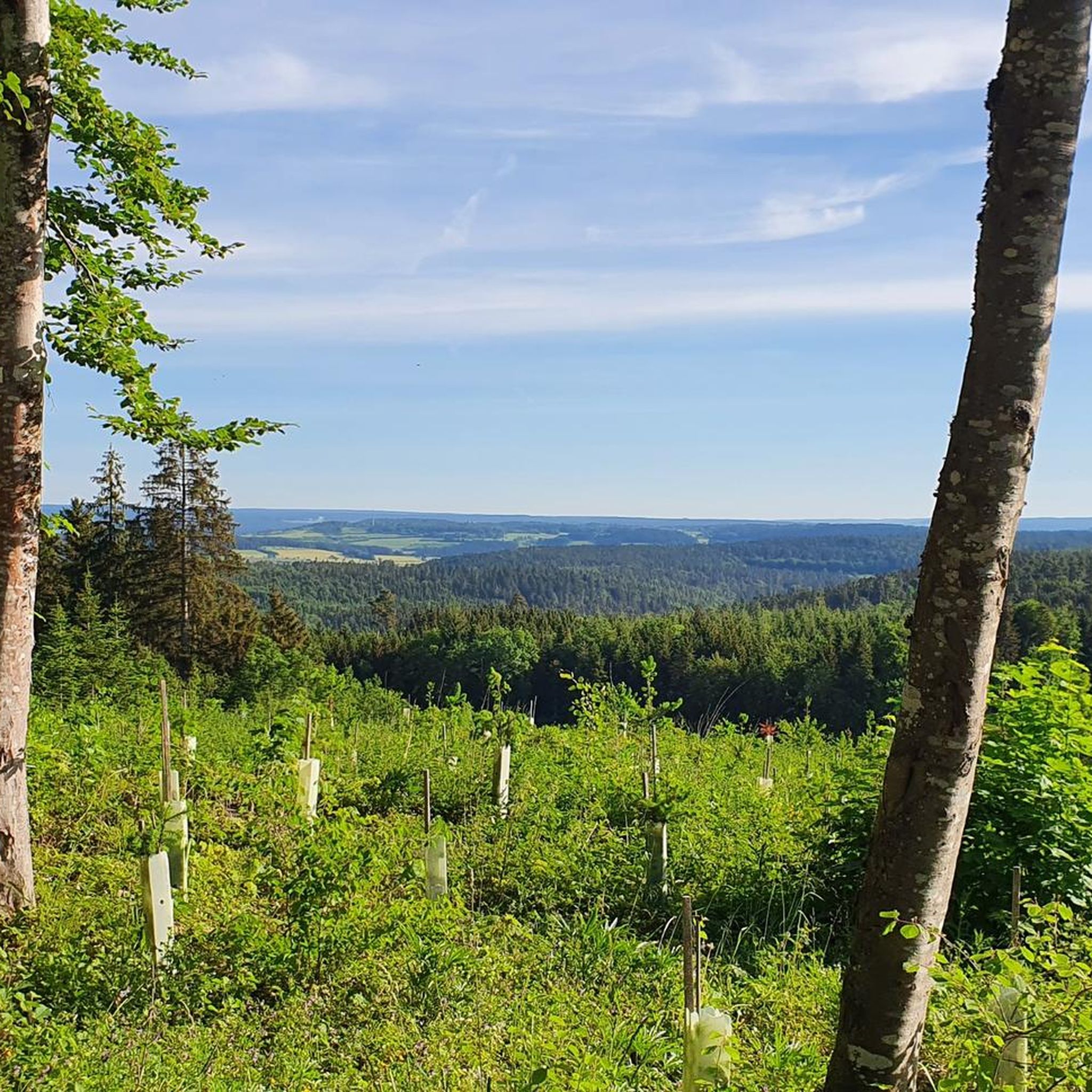
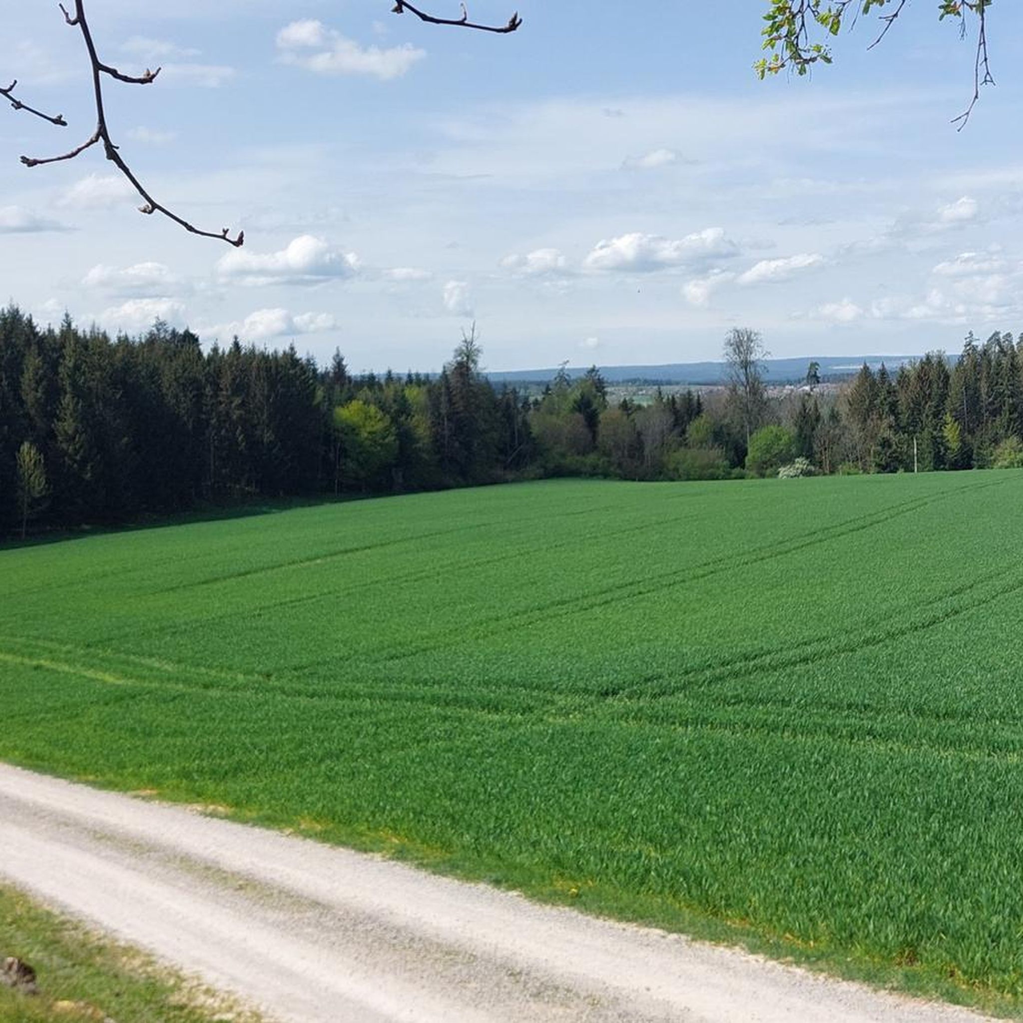
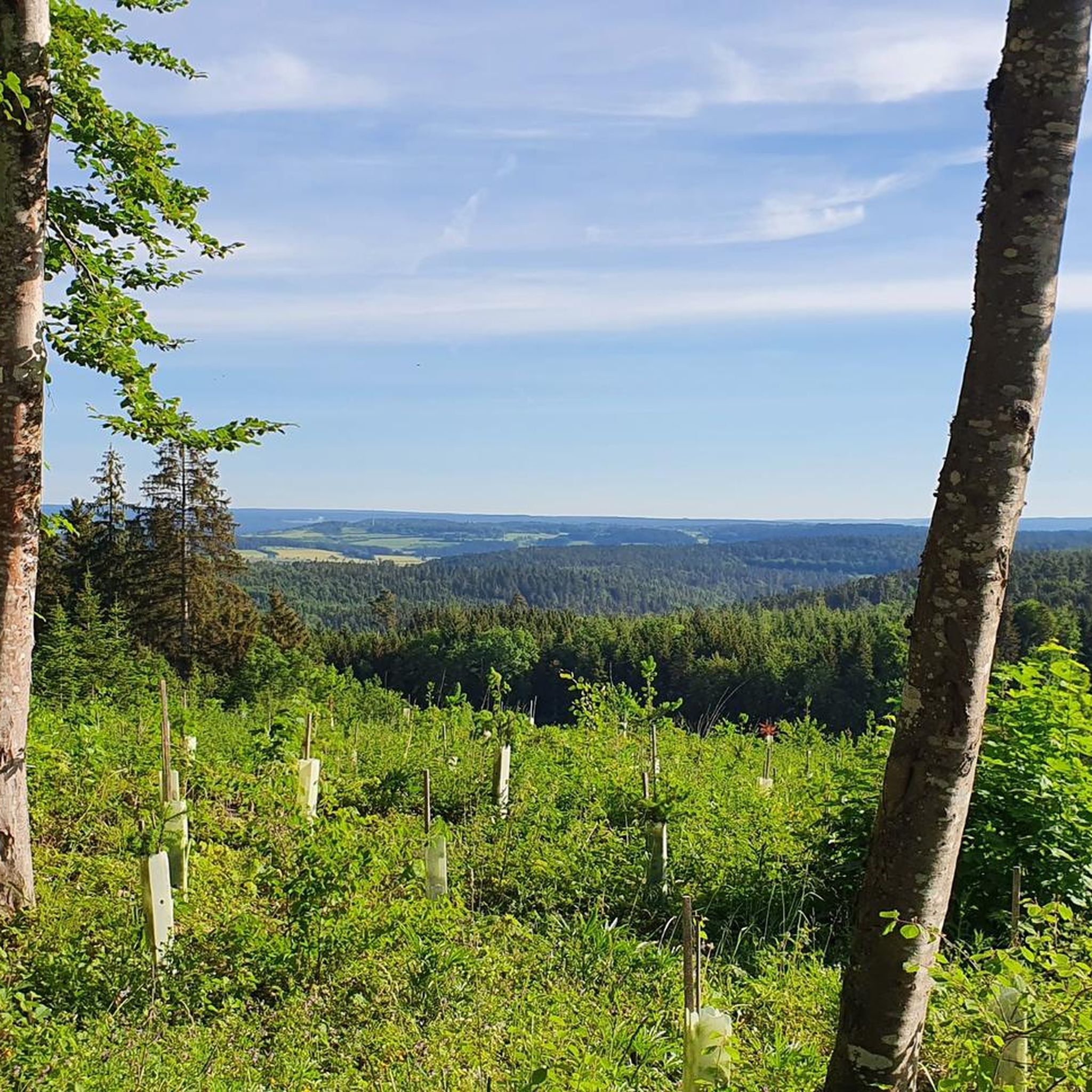
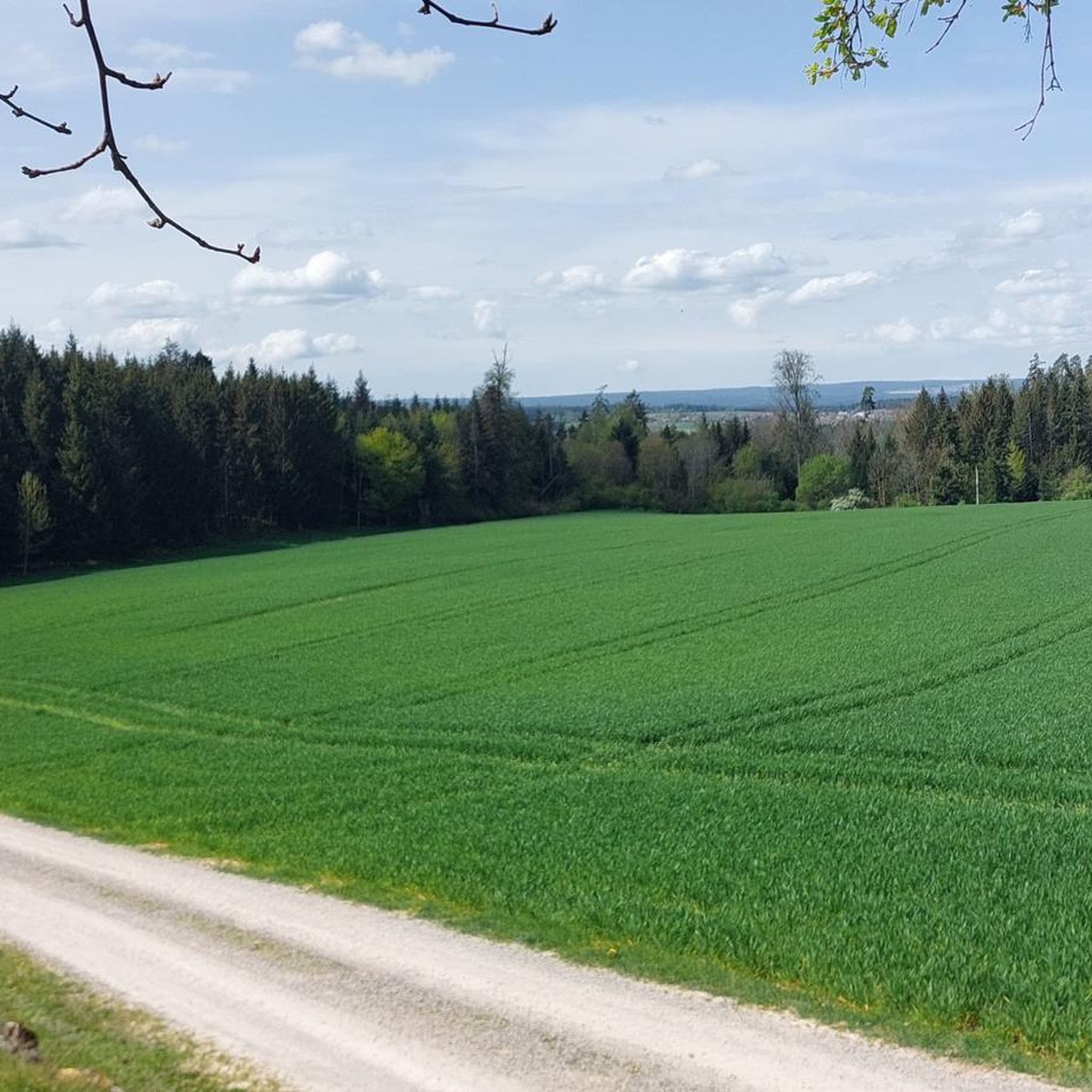
Nice place for a break with a view
0
0
Beautiful spot for a break with a view
0
0

Weir on the Waldach, 300-meter-long drive channel, iron, backward-acting water wheel with spur gear transmission, 6 meters in diameter (originally lined with wooden paddles), 3 meters of head in the drive channel, pump output: 3-5 HP depending on water inflow from the drive channel, double-acting plunger pump from Maschinenfabrik Esslingen from the year 1893 with a high-performance suction and delivery pump and pressure vessel. In 1991, the plant was shut down as a private water supply due to contaminated spring water. Depending on the water level of the Waldach, the pumping station managed to pump 160,000 liters of fresh spring water directly into the houses and into the water reservoir in Bösingen, 2.3 km away and 140 meters higher, in 8 to 14 hours. The spring yields 1-2 liters per second depending on the season.
0
0

Station "Overhanging House" as part of the path of reflection.
7
0
Mandelberg Castle was first documented in 1287. The approximately 33-meter-high keep survived the destruction by the peasant rebels in 1525.
7
0
Large meadow area with playground and football field, as well as barbecue area.
8
0
A pumping station in the Weidach Valley, a cultural-historical monument. Built in 1893/94, the building is beautifully situated in the forest, with a wooden bridge over the Weidach River right next to it. A water wheel is also still in operation here.
7
0
Frequently Asked Questions
How many hiking trails are available in Haiterbach?
Haiterbach offers a wide network of hiking paths, with over 50 routes recorded on komoot. These trails cater to various preferences, from easy strolls to more challenging hikes.
What kind of landscapes can I expect to see while hiking in Haiterbach?
Haiterbach's landscape is diverse, featuring dense forests, rolling hills, and picturesque valleys. You'll find idyllic paths along the Nagold River, open fields, and orchards. The region, part of the Heckengäu and Northern Black Forest, also offers views of the Schlossberg mountain and distinct natural areas like the Egenhäuser Kapf Nature Reserve.
Are there easy hiking options suitable for beginners or leisurely strolls?
Yes, Haiterbach has plenty of easy hiking options. There are over 30 easy routes available, perfect for beginners or those looking for a relaxed walk. Trails around the local reservoir are particularly accessible and great for leisurely activities.
When is the best time of year to go hiking in Haiterbach?
The best seasons for hiking in Haiterbach are spring (March to May) and autumn (September to November). During these times, the weather is mild, and nature displays its most beautiful colors, making for a particularly scenic experience.
Are there any circular hiking routes in Haiterbach?
Many of Haiterbach's trails are circular, allowing you to start and end at the same point. A notable example is the Waldach Footbridge loop from Haiterbach, an easy 6.8 km route. The Haiterbacher Kuckucksweg is also a popular circular route connecting all of Haiterbach's districts.
What do other hikers enjoy most about the trails in Haiterbach?
The komoot community rates the trails in Haiterbach highly, with an average score of 4.5 stars from over 160 reviews. Hikers often praise the varied terrain, the scenic views, and the well-maintained paths that wind through forests and along the Nagold River.
Are there any family-friendly hiking trails in Haiterbach?
Yes, Haiterbach offers several family-friendly options. The Nature Experience Trail Haiterbach is particularly recommended for families with children, providing beautiful views and an engaging outdoor experience. Trails around the local reservoir are also easily accessible for families.
Can I bring my dog on the hiking trails in Haiterbach?
Haiterbach's natural environment is generally welcoming for dogs. Most trails through forests and open fields are suitable for walks with your canine companion. Always ensure your dog is on a leash where required and respect local wildlife.
Are there any historical landmarks or viewpoints along the hiking routes?
Yes, Haiterbach's hiking routes often pass by interesting landmarks and offer scenic viewpoints. You can explore sites like the Hohennagold Castle Ruins, which provides panoramic views over the Nagoldtal. The St. Mary's Church – Mandelberg Castle Springs loop from Haiterbach connects historical sites and natural springs.
Are there any long-distance hiking trails that pass through Haiterbach?
Yes, Haiterbach is part of larger trail networks. The Gäurandweg, a beautiful long-distance trail managed by the Black Forest Association, runs through the Heckengäu. Additionally, a section of the extensive 300-kilometer Schwarzwaldsteig, known for its views across the Black Forest, also passes through the area.
What is the difficulty level of hiking trails in Haiterbach?
Haiterbach offers a range of difficulty levels. While there are over 30 easy trails, you'll also find 26 moderate routes and a couple of more challenging options. This variety ensures there's a suitable trail for almost every fitness level.
Are there any specific trails that offer great views?
Many trails in Haiterbach provide excellent views. The View of Beihingen – Forest Musical Instruments loop from Haiterbach is known for its scenic vistas of Beihingen. Additionally, the Schlossberg mountain and paths along the Nagold River offer picturesque perspectives of the surrounding forests and valleys.
Most popular routes around Haiterbach
Most popular attractions around Haiterbach

Get inspired with the komoot mobile app


Explore more
Browse the best Hikes in other regions.
