The best running trails around Haiterbach
4.4
(508)
4,682
runners
642
runs
Jogging routes Haiterbach are set within the scenic Black Forest region and the Heckengäu, offering a diverse natural landscape for runners. The area is characterized by dense forests, rolling hills, and picturesque valleys, primarily shaped by the Waldach River and its tributaries. Elevations range from 428 to 678 meters above sea level, providing varied terrain. Portions of federally protected nature reserves, such as the Haiterbacher Heckengäu, also offer tranquil running environments.
Best jogging routes around Haiterbach
- The most popular jogging…
Last updated: July 5, 2026
5.0
(5)
20
runners
5.72km
00:38
90m
90m
Moderate run. Good fitness required. Mostly paved surfaces. Suitable for all skill levels.
7
runners
3.90km
00:26
50m
50m
Easy run. Great for any fitness level. Mostly paved surfaces. Suitable for all skill levels.

Sign up for free
5
runners
6.98km
00:44
60m
60m
Moderate run. Good fitness required. Mostly paved surfaces. Suitable for all skill levels.
4
runners
17.2km
01:52
260m
260m
Hard run. Very good fitness required. Mostly paved surfaces. Suitable for all skill levels.
3
runners
5.03km
00:33
90m
90m
Moderate run. Good fitness required. Mostly paved surfaces. Suitable for all skill levels.
Get access to more routes and recommendations from other explorers.
Sign up for free
Already have an account?
Our route recommendations are based on thousands of hikes, rides, and runs completed by other people on komoot.
Start today with a free account
Your next adventure awaits.
Login or Signup

Tips from the Community

The Bömbachsee near Altensteig-Spielberg is idyllically situated, surrounded by forests in the middle of the countryside, and invites you to swim. The small lake is easily accessible via the Ziegelweg, and parking is available. A large sunbathing lawn with shady trees adjoins the eastern shore.
6
0

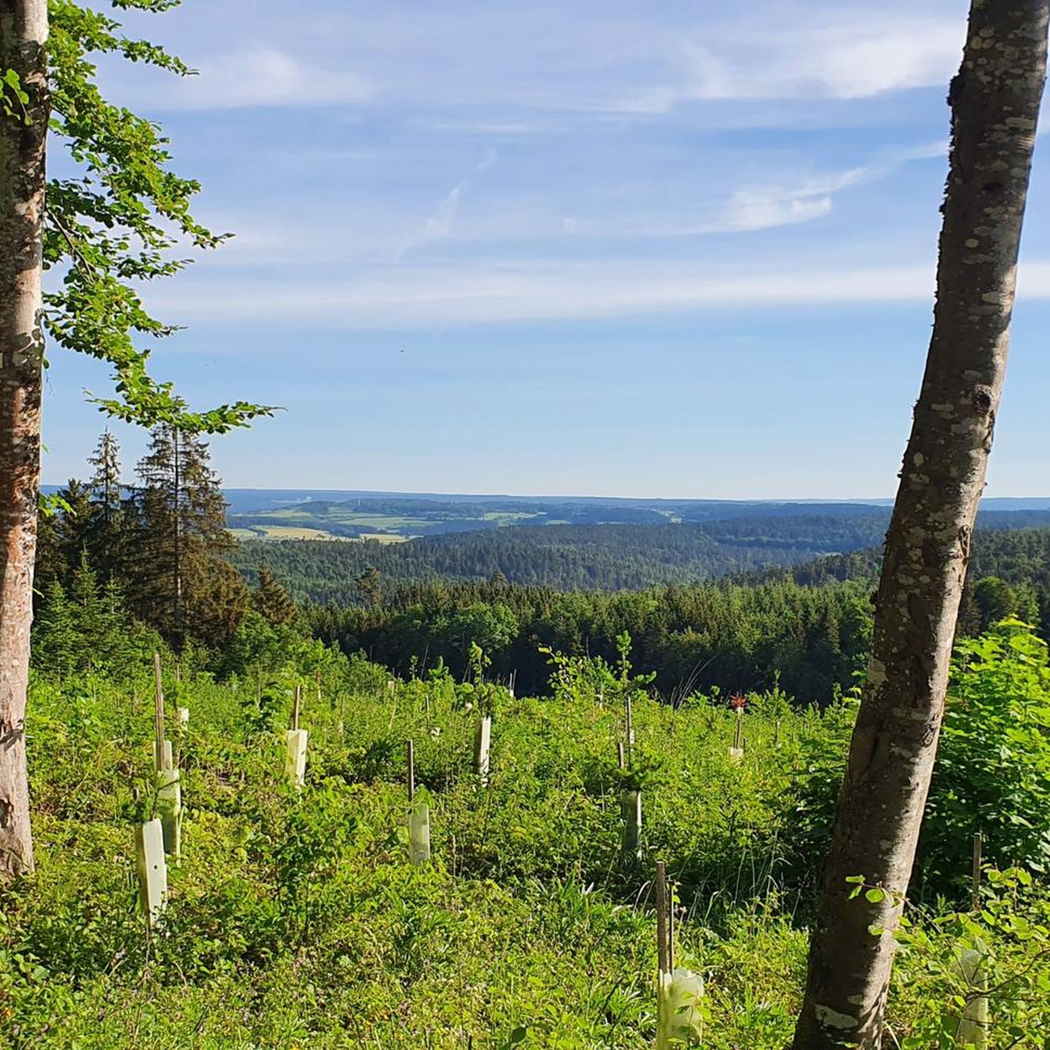
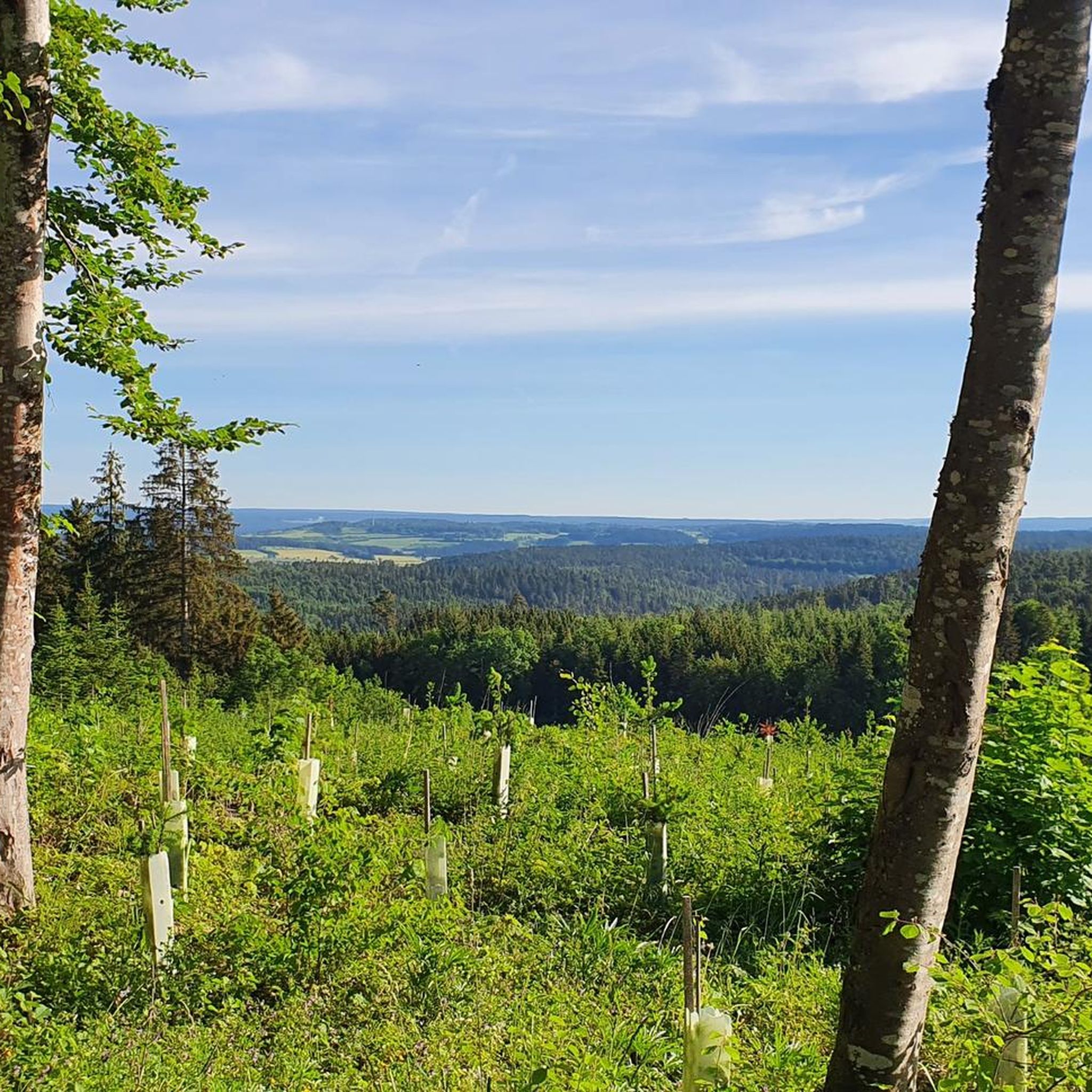
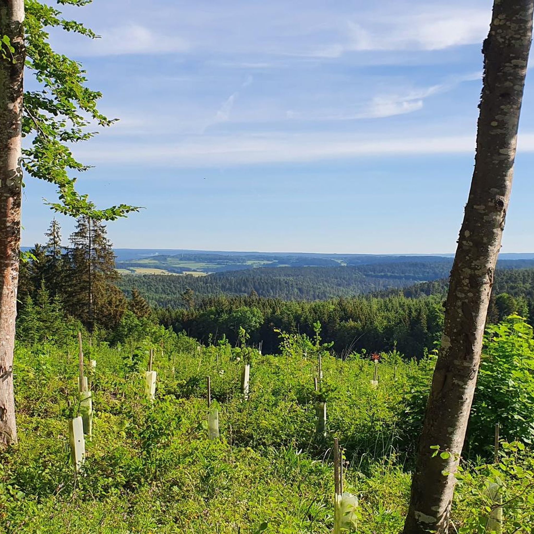
Beautiful place with a magnificent view
0
0

Beautifully painted by children's hands.
0
0
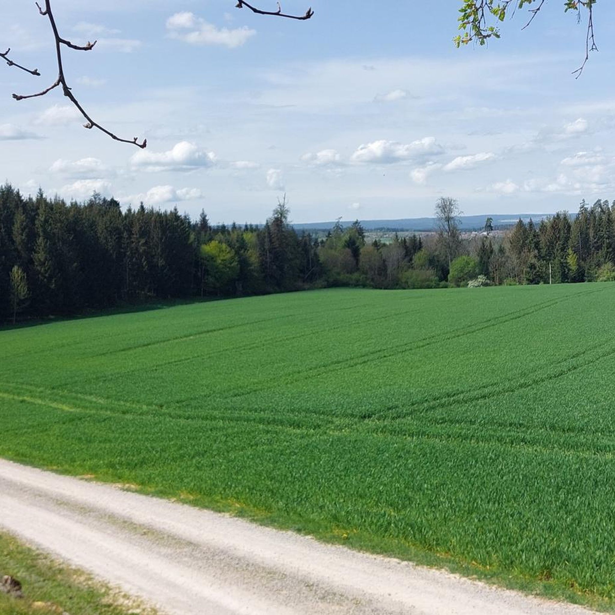
A place to sit with a view. What more could you want?
0
0

The position is at Walddorf and it's 1 km to Kapf.
0
0
komoot has improved terribly 🙈 Should be "Blick vom Kapf auf Egenhausen "
1
0

The Kapf above Egenhausen appears calm and unassuming today, almost like an ordinary viewpoint. But it was precisely here that an anti-aircraft position was located during the Second World War. The elevated location was deliberately used to monitor and defend the airspace. Little is visible today of the facilities from that time; much is overgrown or has long since been dismantled. This is precisely what makes the place interesting: the history is not obvious, but rather lies between the lines of the landscape. Anyone who engages with it quickly realizes that this section is more than just another point on the map.
1
0

St. Johanneskirche in Egenhausen with adjacent cemetery. The current nave was built 300 years later. However, it did not become an independent parish church. Until the Reformation in 1556, it belonged to Walddorf, after which it was incorporated into Spielberg. Since then, the Spielberg pastor has been commuting.
11
0
Frequently Asked Questions
How many running routes are available around Haiterbach?
Haiterbach offers a vast network of trails, with over 600 running routes documented on komoot. This includes a diverse range of paths suitable for various fitness levels, from easy strolls to more challenging runs.
What kind of terrain can I expect on the jogging trails in Haiterbach?
The jogging trails in Haiterbach are characterized by a rich blend of natural landscapes. You'll find yourself running through dense forests, over rolling hills, and alongside picturesque valleys, primarily shaped by the Waldach River and its tributaries. The elevation varies from 428 to 678 meters above sea level, providing dynamic and varied terrain for your runs.
Are there any easy running routes suitable for beginners or a relaxed jog?
Yes, Haiterbach has plenty of easy running routes. Approximately 93 of the trails are classified as easy. A great option for a relaxed jog is the Egenhäuser Kapf – View from Egenhäuser Kapf loop from Egenhausen, an accessible 3.1 km (2.0 miles) path offering scenic views.
Can I find circular running routes in the Haiterbach area?
Absolutely. Many routes in Haiterbach are circular, allowing you to start and end at the same point. The View from Egenhäuser Kapf – Egenhäuser Kapf loop from Egenhausen is a popular 5.8 km (3.6 miles) loop that takes you through forested areas and open fields. Additionally, the regional 'Haiterbacher Kuckucksweg' is a well-known circular trail connecting all of Haiterbach's districts.
Are there any longer running trails for more experienced runners?
For those seeking a longer challenge, Haiterbach offers several extended routes. The Kneipp Facility Bömbachtal – Bömbach Lake loop from Egenhausen is a moderate 13.7 km (8.5 miles) trail. Furthermore, a segment of the long-distance 'Schwarzwaldsteig' traverses through Haiterbach, providing opportunities for even longer, more adventurous jogs with unparalleled regional vistas.
What do other runners say about the trails in Haiterbach?
The running routes in Haiterbach are highly regarded by the komoot community, boasting an average rating of 4.4 stars from over 470 reviews. More than 4,000 runners have explored the varied terrain, often praising the diverse landscapes, from tranquil forests to scenic river paths.
Are there any scenic running routes with viewpoints or natural attractions?
Many routes in Haiterbach offer beautiful scenery. The idyllic path along the Nagold River provides breathtaking views as it winds through green meadows. Routes like the Panorama Trail Egenhausen – Egenhäuser Kapf loop from Egenhausen also live up to their name, offering expansive views. For specific natural attractions, you might encounter highlights like the Small Waterfall by the Nagoldtal Cycle Path or the serene Bömbach Lake.
Are the running trails in Haiterbach suitable for families?
Yes, many trails are suitable for families. The region's 'Nature Experience Trail Haiterbach' is highlighted as a beautiful natural path, often praised for its suitability for active exploration. Look for routes classified as 'easy' on komoot, such as the Old Post Road Nagold loop from Rohrdorf, which is a gentle 4.6 km (2.9 miles) path, perfect for a family outing.
Are dogs allowed on the running trails in Haiterbach?
Generally, dogs are welcome on most outdoor trails in the Haiterbach region, especially in the extensive forest and rural areas. However, it's always advisable to keep dogs on a leash, particularly in nature reserves like the Haiterbacher Heckengäu, Upper Gründel, and Waldach and Haiterbach valleys, to protect wildlife and ensure a pleasant experience for all users.
What are some notable natural features or landmarks I might see while running?
While running in Haiterbach, you'll encounter diverse natural features. The area is known for its dense forests, rolling hills, and the valleys shaped by the Waldach River and its tributaries. You might also pass by federally protected nature reserves. For specific landmarks, consider routes near the Nagold Reservoir (Erzgrube) or the tranquil Bömbach Lake, which offer beautiful waterside views.
Are there any running routes that pass by water features like lakes or waterfalls?
Yes, Haiterbach's landscape includes several water features. You can find routes that lead to or near the Nagold Reservoir (Erzgrube) or Bömbach Lake. For waterfalls, some trails might bring you close to smaller cascades like the Small Waterfall by the Nagoldtal Cycle Path or the Lichtenbach Waterfall.
Most popular routes around Haiterbach
Most popular attractions around Haiterbach

Get inspired with the komoot mobile app


Explore more
Browse the best Running Trails & Routes in other regions.
