The 3 Most Amazing Peaks around Breitengüßbacher Forst
Best mountain peaks around Breitengüßbacher Forst are located in a small forest area in Upper Franconia, Bavaria, Germany. This region is characterized by its natural landscape, offering various elevations for exploration. While the immediate Breitengüßbacher Forst is primarily a forest, the surrounding area features notable hills and summits. These natural features provide panoramic views and opportunities for outdoor activities.
Best mountain peaks around Breitengüßbacher Forst
- The most popular mountain peaks is View from the Hohe Metze, a viewpoint and…
Last updated: July 8, 2026
Staffelberg
Highlight • Viewpoint
Translated by Google •
Tip by

View of the Staffelberg and the Adelgundis Chapel
Highlight • Viewpoint
Translated by Google •
Tip by

Sign up now to discover places like this
Get recommendations on the best single tracks, peaks, & plenty of other exciting outdoor places.
Sign up for free
Spitzberg (517 m)
Highlight • Summit
Especially not so crowded ☺
Translated by Google •
Tip by

Weißer Lahma Dry Grassland
Highlight • Natural Monument
Translated by Google •
Tip by

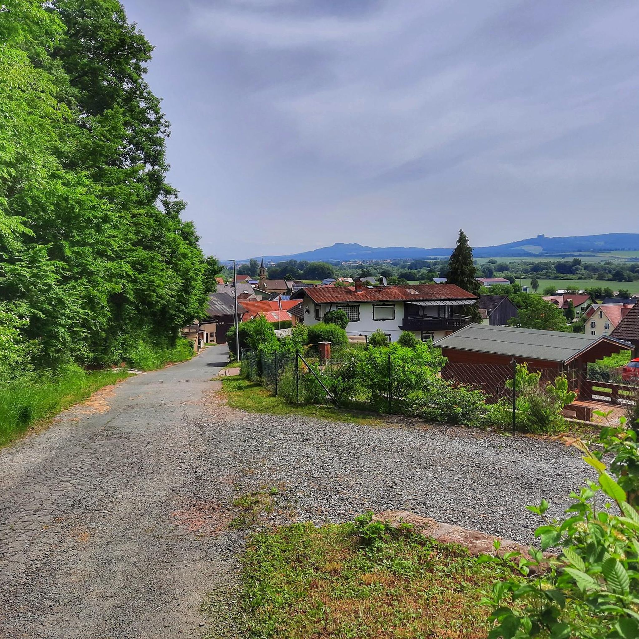
View from the Hohe Metze
Highlight • Viewpoint
Translated by Google •
Tip by

Sign up for free to discover even more peaks around Breitengüßbacher Forst.
Sign up for free
Already have an account?
Start today with a free account
Your next adventure awaits.
Login or Signup

Tips from the Community

There are many signposted hiking trails on and around the Staffelberg.
0
0

Dry slopes typical of the region have been declared a nature reserve. Please do not leave the paths.
1
0

A very beautiful hike through the nature reserve, with many rare plants. A final stop is the Schönstätt Center restaurant. Delicious cake! https://schoenstatt-bamberg.de/ Easy even for older people.
1
0

Covering approximately ten hectares, the "Weißer Lahma" contains a very distinctive biotope complex of dry and semi-dry grasslands with species-rich fringes, framed by a very sparse pine forest. Just a few decades ago, the nearby dry grasslands and juniper heaths near Stübig and Roßdach were interconnected with the Weißer Lahma. This connection has been interrupted by reforestation. Arable land use has created irregular terrain levels. Erosion has created new hollows and gullies, which contribute to the structural diversity. Habitats have been preserved for many animal species, including the red-backed shrike, the sand lizard, the silver blue butterfly, the spring snail, and the red-winged grasshopper. Much has also been achieved in protecting the diverse flora. In addition to limestone aster, pasqueflower, and gentian, the rich populations of silver thistle and orchids, in particular, once again have sufficient space.
11
0
From the Hohe Metze (523 meters high) you not only have a beautiful view of Bamberg and the surrounding area, it is also suitable for a longer rest with its tables and benches between the rocks.
11
1

The small detour to Spitzberg is highly recommended. You have a wonderful view here, which you can enjoy on a bench.
7
0

Always worth a trip
4
2

A lot has already been said and written about Spitsbergen. This survey lives up to its name. Good shoes are strongly recommended for those who hike up and down this short path. Brisk walks in summer conditions are also possible with well-fitting "sneakers". But any ankle injured with ligament damage recommend high shoes and then ideally stepping on sideways. It can also get pretty muddy in wintry conditions. In the worst case ... the nearest orthopedic is in Lichtenfels ;-) And the seating area with a view "of the vast country" in front of the massive bushes has something "archaically majestic". However, the table shows clear "dissolution phenomena".
6
0
Frequently Asked Questions
What are some of the most popular mountain peaks and viewpoints to visit around Breitengüßbacher Forst?
The region offers several notable elevations. Among the most popular are the Staffelberg, known for its extensive views and hospitality hut, and the View from the Hohe Metze, which provides magnificent panoramic views from its 523-meter-high elevation. Another favored spot is Spitzberg (517 m), offering views of the Franconian Jura and Staffelberg in a quieter setting.
What kind of views can I expect from the peaks in this region?
From the peaks and viewpoints around Breitengüßbacher Forst, you can expect extensive panoramic views. For instance, the Staffelberg offers sweeping vistas over the Bad Staffelsteiner and Lichtenfelser area. From the Spitzberg (517 m), you can see the Franconian Jura, Veitsberg, and the Staffelberg itself. The Hohe Metze also provides magnificent views of the surrounding landscape.
What makes the Staffelberg a significant destination?
The Staffelberg is a significant destination due to its excellent panoramic views over the Bad Staffelsteiner and Lichtenfelser area. It's also home to the historic Adelgundis Chapel and features the Staffelbergklause, a restaurant that provides hospitality to visitors. It offers various paths for hiking and connects to surrounding forests, making it a popular spot for outdoor enthusiasts and those seeking both natural beauty and historical interest.
Are there any unique natural features or monuments to explore besides the main peaks?
Yes, beyond the prominent peaks, you can explore the Weißer Lahma Dry Grassland. This area is a distinctive biotope complex of dry and semi-dry grasslands, rich in species, framed by a sparse pine forest. It's known for its unique flora, including limestone aster, pasqueflower, gentian, silver thistle, and orchids, and provides habitat for various animal species.
Are there hiking trails suitable for different skill levels near the mountain peaks?
Yes, the region offers a variety of hiking trails. For example, the ascent to the Spitzberg (517 m) can involve steep and unpaved paths requiring surefootedness, while many trails around the Staffelberg are well-suited for general hiking. You can find more detailed information on routes, including easy, moderate, and challenging options, in the Hiking around Breitengüßbacher Forst guide.
Can I find family-friendly hiking options around Breitengüßbacher Forst's peaks?
Absolutely. Several areas and trails are considered family-friendly. The View from the Hohe Metze and the Spitzberg (517 m) are both noted as family-friendly highlights. The Weißer Lahma Dry Grassland also offers accessible natural exploration for families.
What outdoor activities can I do near these mountain peaks?
Besides hiking, the area around Breitengüßbacher Forst is excellent for cycling and road cycling. You can explore routes like the 'Oxbow lakes and Main river bend – View of Staffelberg loop' for cycling, or 'View of Banz Abbey – Tree-Lined Pathway loop' for road cycling. For more options, check out the dedicated guides for Hiking, Cycling, and Road Cycling around Breitengüßbacher Forst.
Are there any historical or cultural sites near the peaks?
Yes, the Staffelberg is home to the historic Adelgundis Chapel. Additionally, the View of the Staffelberg and the Adelgundis Chapel highlight specifically points out this historical and religious building, offering a cultural element to your visit.
What do visitors enjoy most about the mountain peaks around Breitengüßbacher Forst?
Visitors consistently praise the magnificent and extensive views from the summits, such as the Hohe Metze and Staffelberg. The opportunity to combine hiking with good food at places like the Staffelbergklause, the peaceful atmosphere of less frequented peaks like Spitzberg (517 m), and the overall natural beauty of the trails are frequently highlighted.
Are there places to rest or get refreshments on the trails?
Yes, several spots offer amenities. The Staffelberg features a hospitality hut, the Staffelbergklause, where you can enjoy refreshments. The View from the Hohe Metze has benches available for resting at the summit, and the Spitzberg (517 m) also provides seating for breaks.
What is the best time to visit the mountain peaks in this region?
While specific seasonal tips are not provided, the region's natural landscape, characterized by forests and elevated vistas, suggests that spring and autumn would offer pleasant hiking conditions with mild temperatures and beautiful foliage. Summer is also suitable, though it might be warmer. Winter hiking is possible, but conditions would depend on snow and ice, requiring appropriate gear.
Is the Breitengüßbacher Forst itself a mountainous area?
The Breitengüßbacher Forst is primarily a small, unincorporated forest area. While it is a natural landscape with various elevations, it is not characterized by prominent 'mountain peaks' within its immediate boundaries. The notable hills and summits, such as the Staffelberg, are found in the broader surrounding region.
Most popular routes around Breitengüßbacher Forst
Most popular attractions around Breitengüßbacher Forst

Get inspired with the komoot mobile app


Explore more
See even more amazing summits around Breitengüßbacher Forst with these guides:
